Browsed by
Tag: photoblog

farewell 38

farewell 38

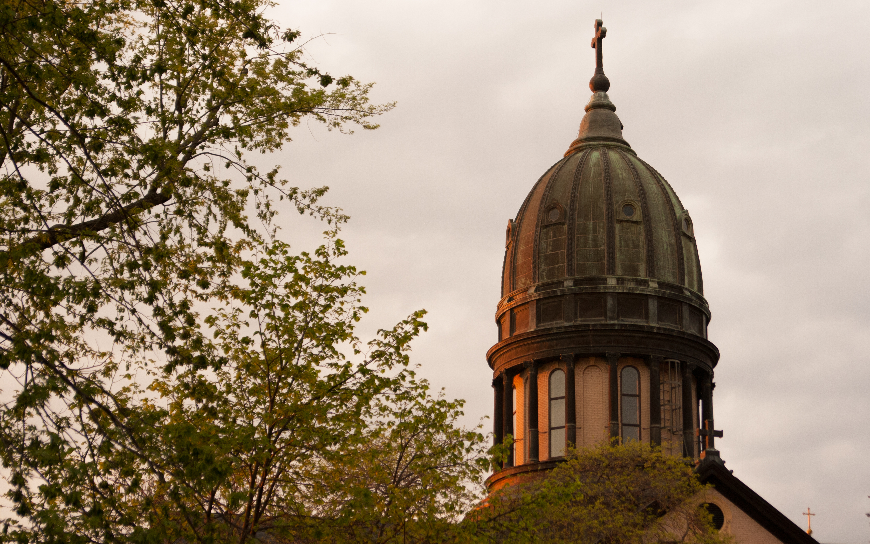
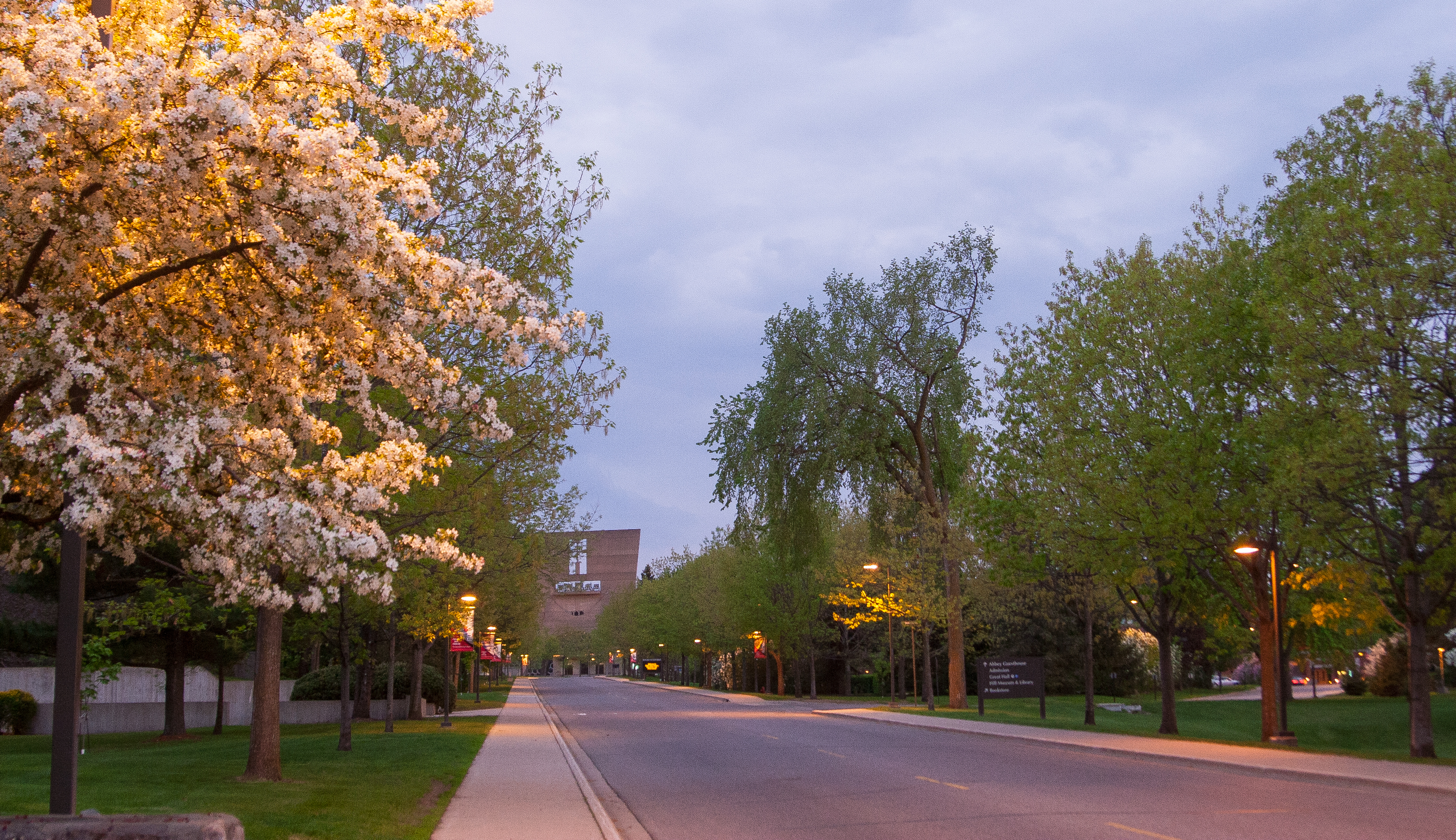
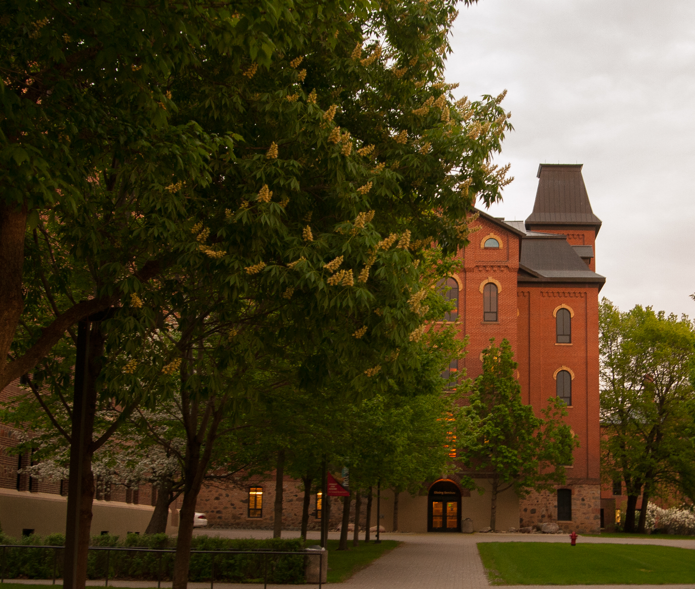
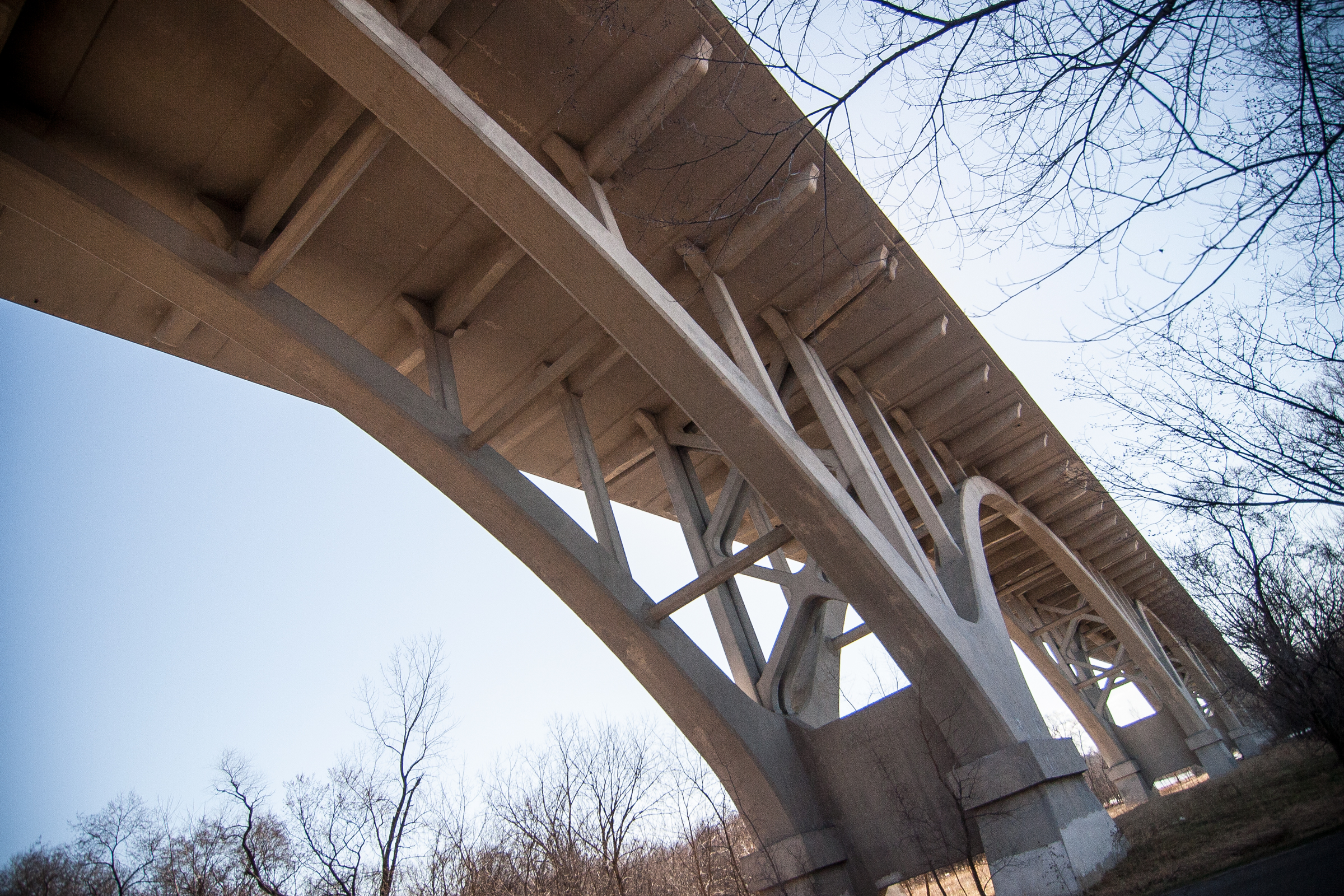
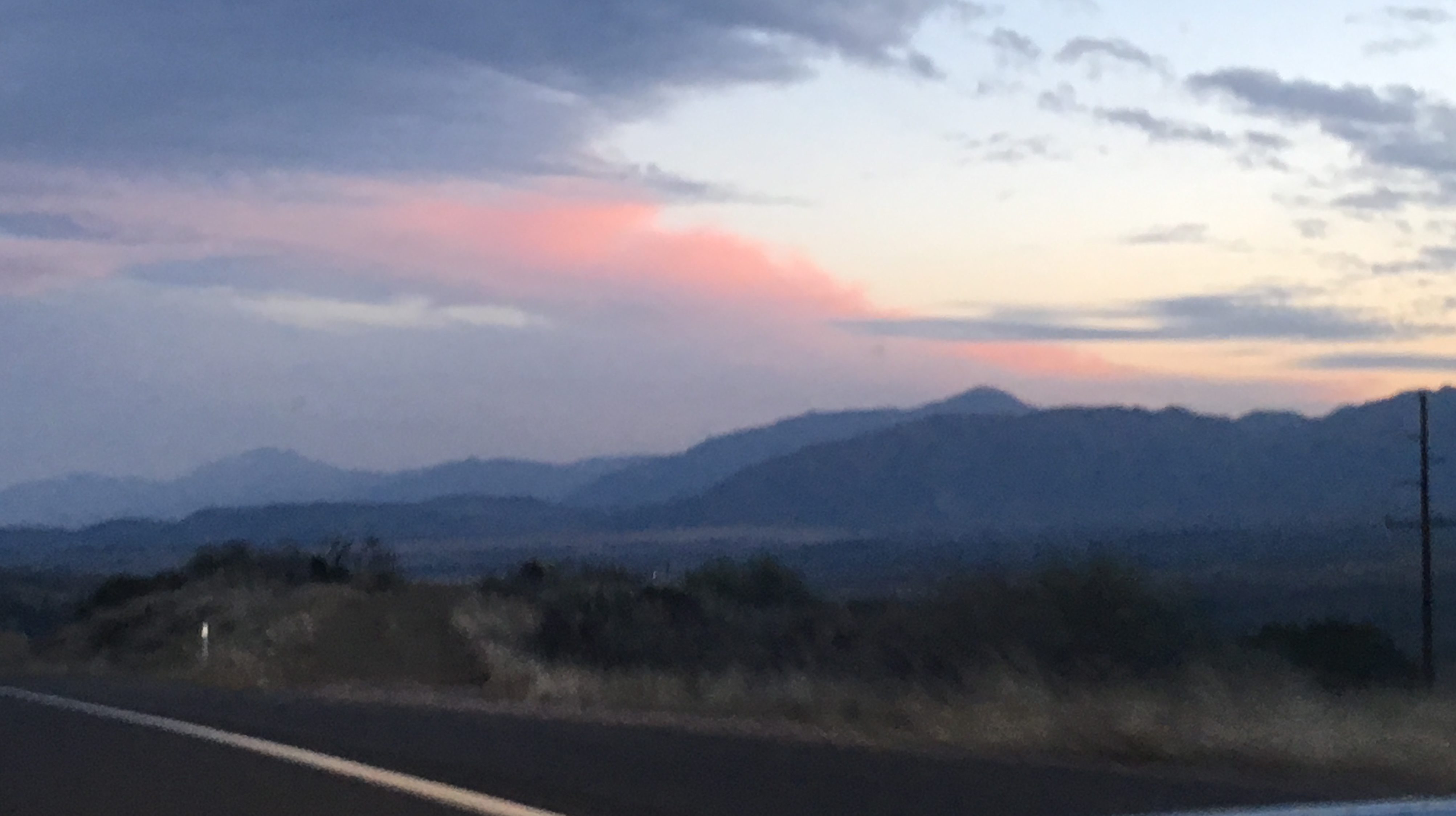
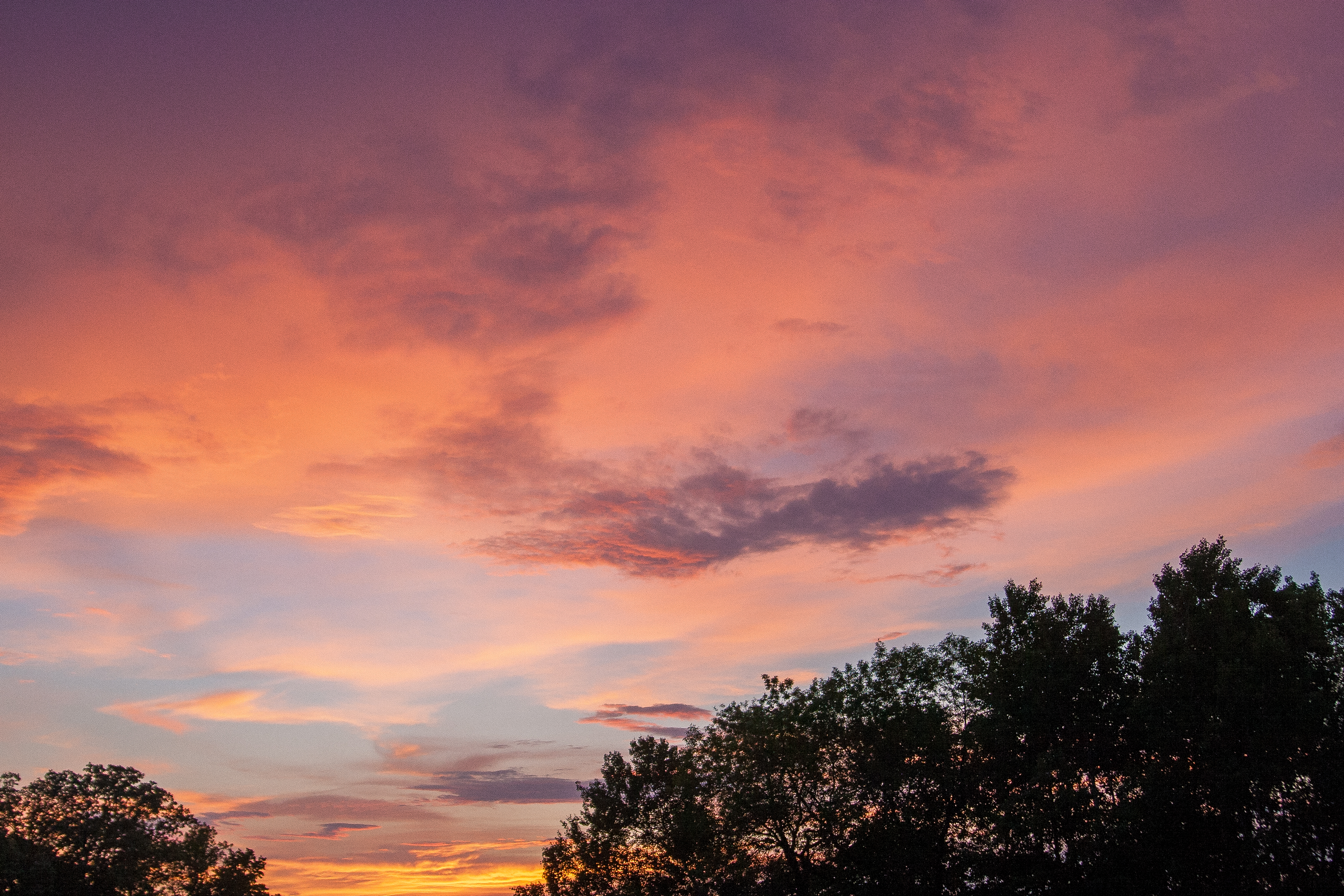
sipping on a margarita on my last few hours of 38. i did get out for a run and then got some pics of a great evening sky and the light it was throwing.

i really missed spring this year. i missed the smell of snow melting to slush and then water and the thawing dirt and melting fields. we were thrown directly from the winter that never ended to summer. can i insert some sort of metaphor about life here? the days are long but the years are short. i’m about halfway through, i reckon.

mn state parks: lindbergh and crow wing

mn state parks: lindbergh and crow wing

this weekend i had to go to costco because i hadn’t been grocery shopping in a month. and since the closest costco to me in baxter, i decided to make a short afternoon of it, stopping in little falls to visit lindbergh state park and then right off 371 to stop at crow wing.

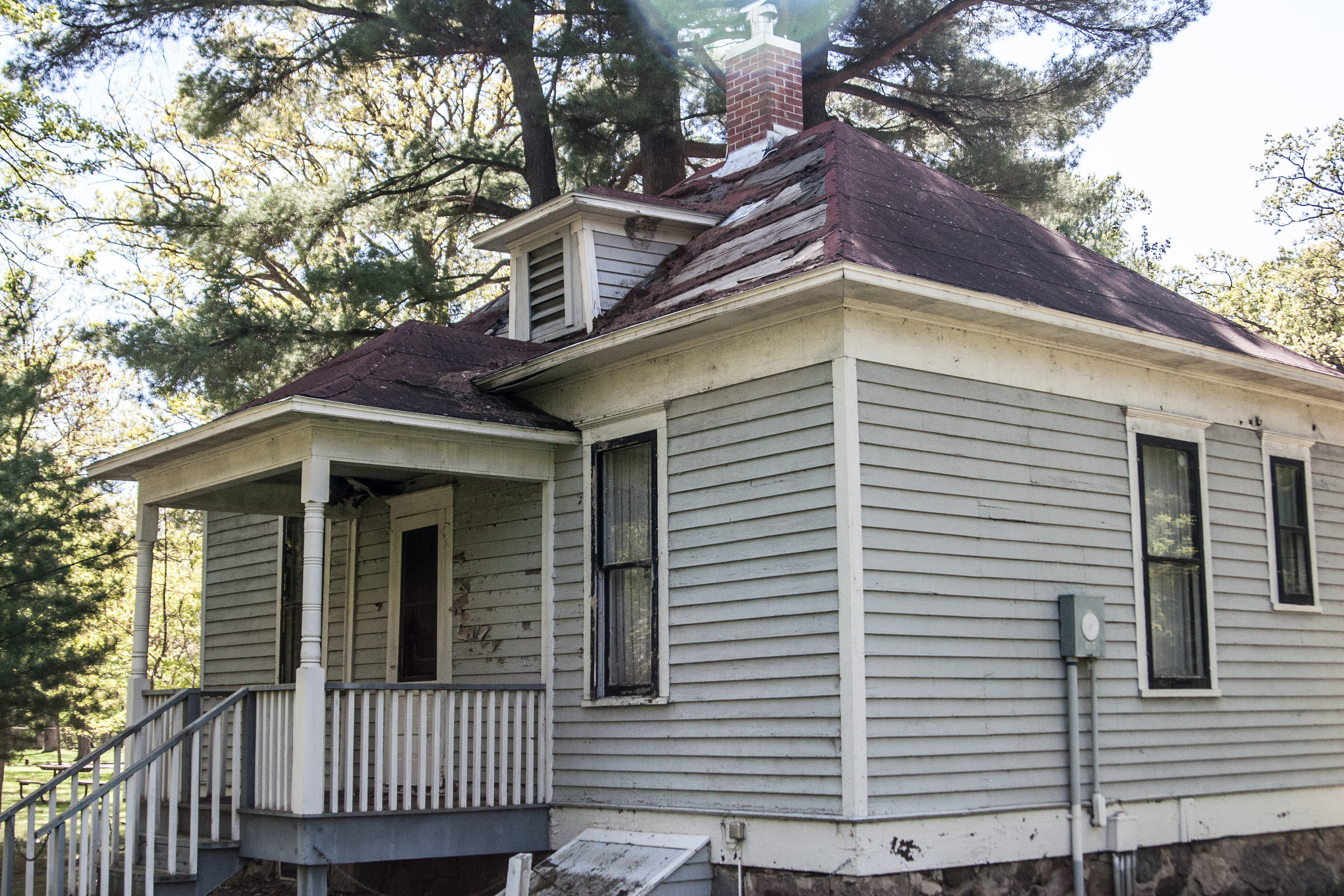
my first stop was lindbergh state park, which just seems kind of sad to me. it’s more of a recent historical marker, containing the lindbergh house and outbuildings. unfortunately, the tours weren’t open for the season yet, so i was relegated to taking a photo of the house from afar rather than getting inside.

this state park is right along the mississippi river on the outskirts of little falls, so it seems a little more weirdly urban, and you can see the disrepair that the state park system has fallen into. there are also WPA projects in the park, which are always a treat.

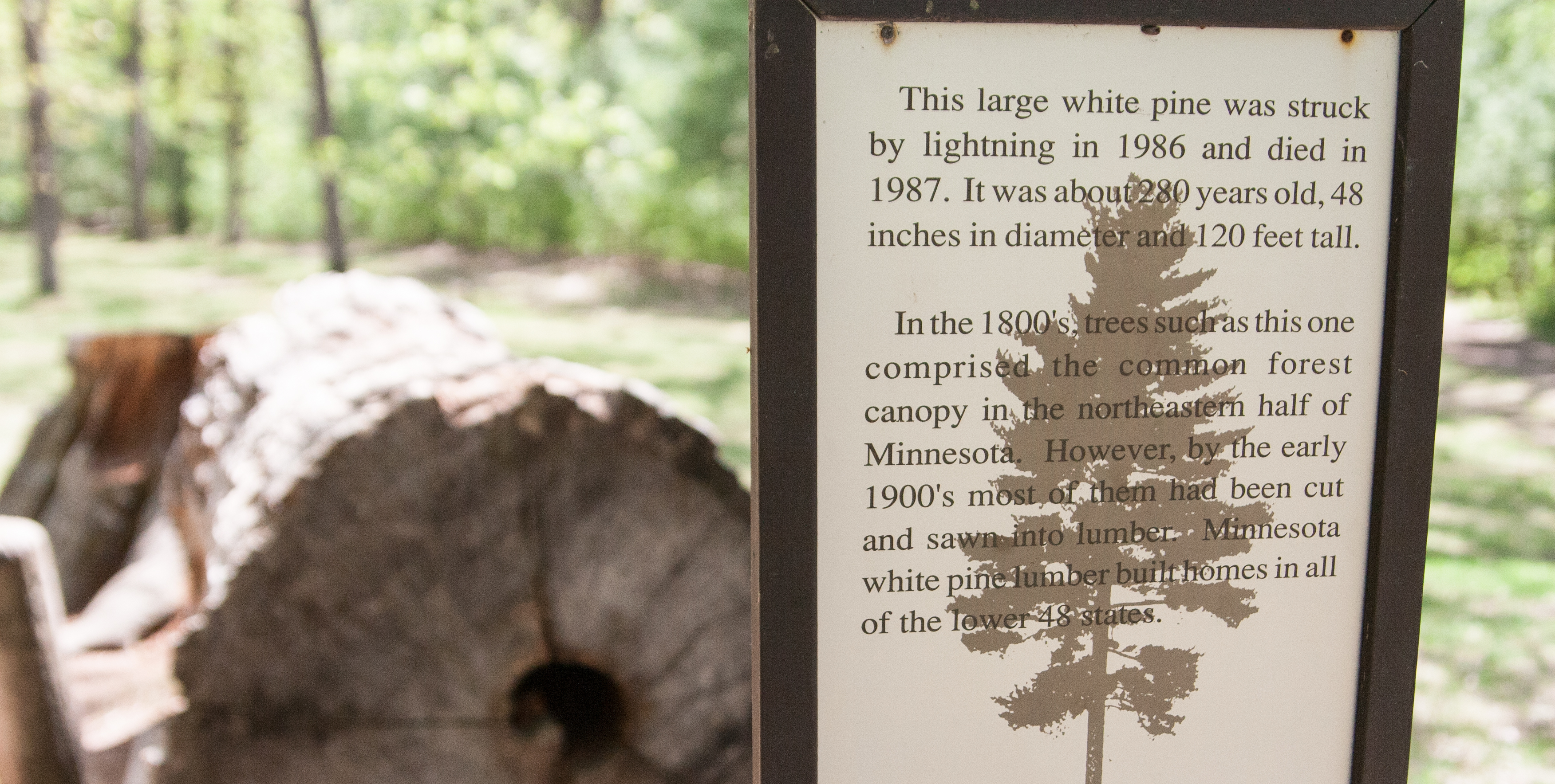
and then i saw this log across the picnic area. this is an old-growth white pine from many years ago that have basically been logged to extinction in this state EXCEPT for the lost 40, which i am going to this summer! after seeing the size of this tree, i’m super excited to make the stop at the lost 40.

********

crow wing is something else. if you know where the brainerd/baxter rest stop is with paul bunyan hanging out, this state park is right to the west of that stop.

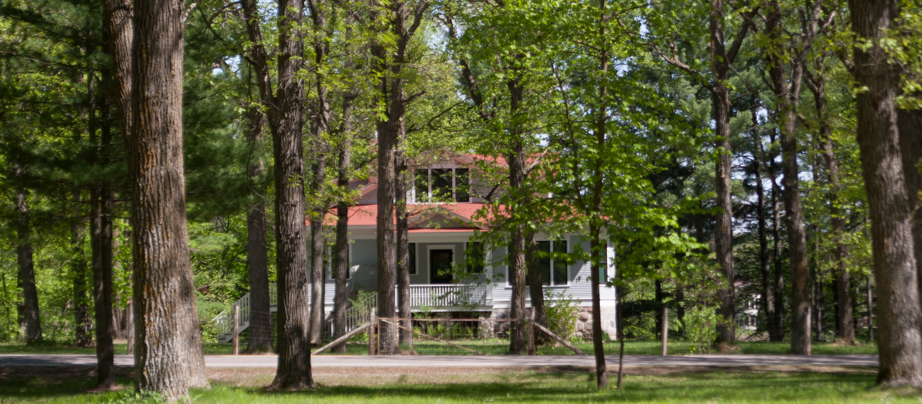
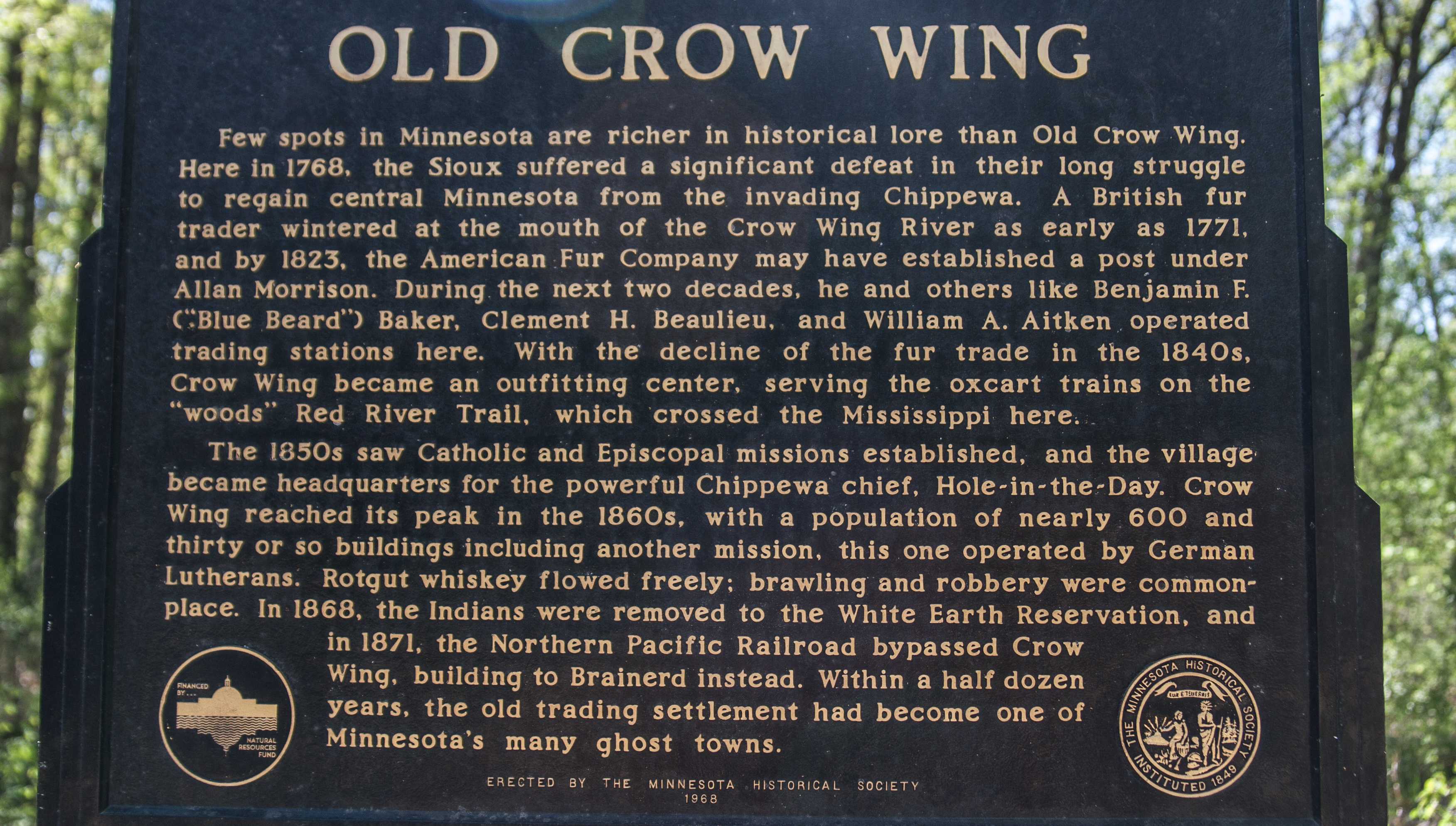
this is also a state park that’s more of an historical marker, commemorating the lost town of crow wing, which was right at the confluence of the crow wing and missisippi rivers. there’s a short walk you can take a long the rivers that explains the town, with a restored house from the era. it points out the pertinent historical spots, and the park is at a spot where three biomes meet: pine, hardwood, and prairie. it reminded me of what would happen if the black hills were plopped down in the middle of the nodak prairie.

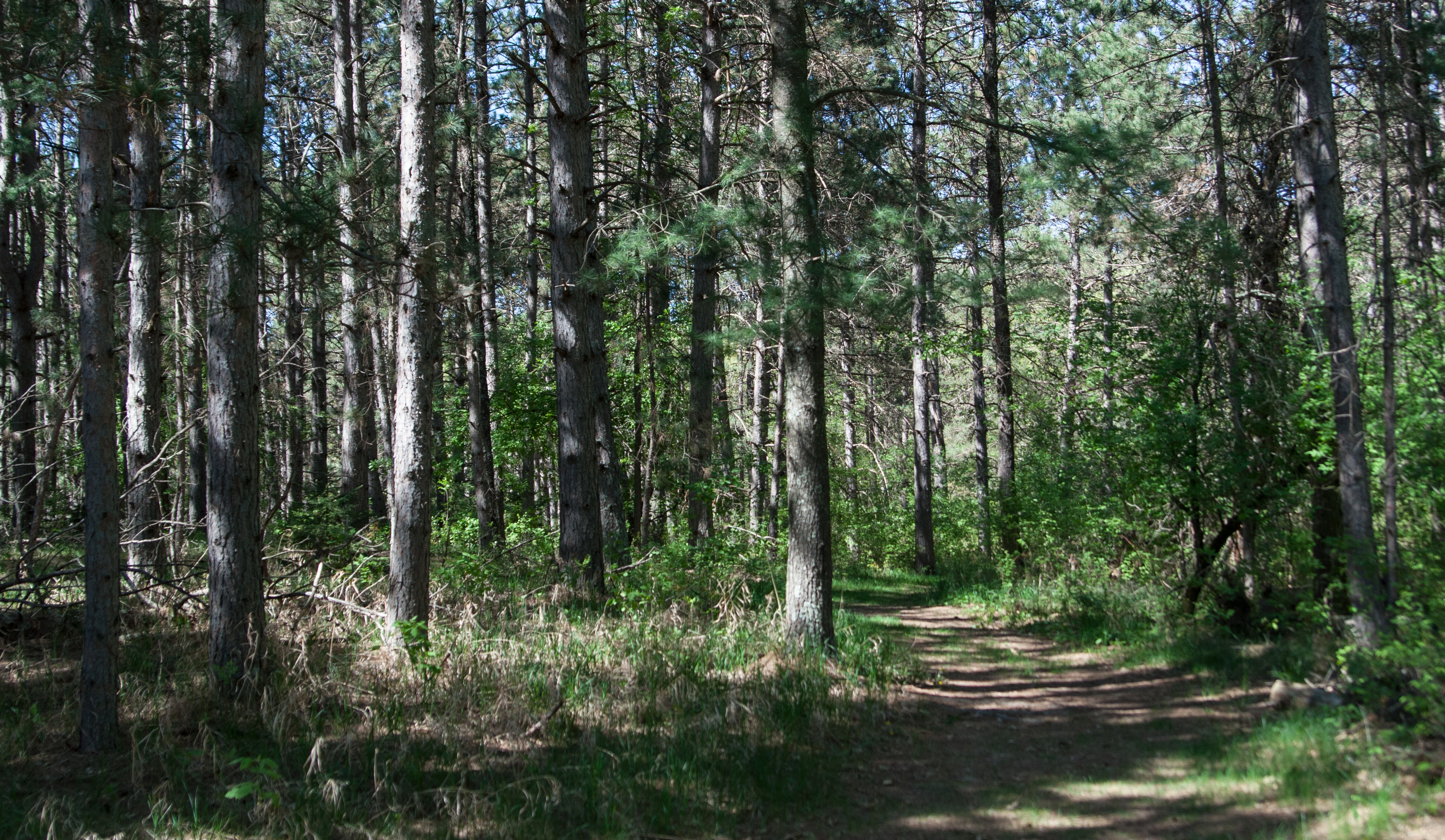
i was walking toward the lost town and got to spend some time in these pine trees, with needles scattered across the ground and scent of pine wafting over me once in a while. it made me want to skip costco and head straight to the black hills. it also made me really excited to check out the campground, but the campspots are in the hardwood section of the park, so i decided i probably wouldn’t spend my free campsite here (unfortunate because it’s so close).

i would go back to crow wing just to spend more time checking out the historical site.

next up: next weekend i’m going to attempt a west central loop, heading out to lac qui parle, glacial lakes, big stone, monson, and hitting up sibley state park.

peace in two parts

peace in two parts

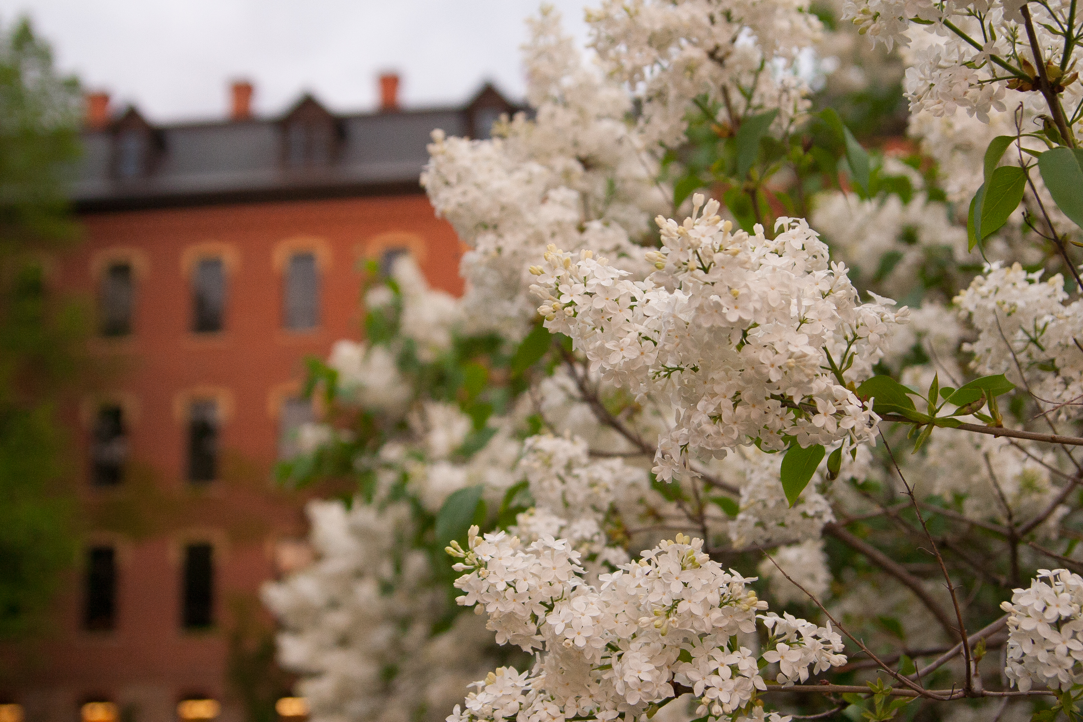
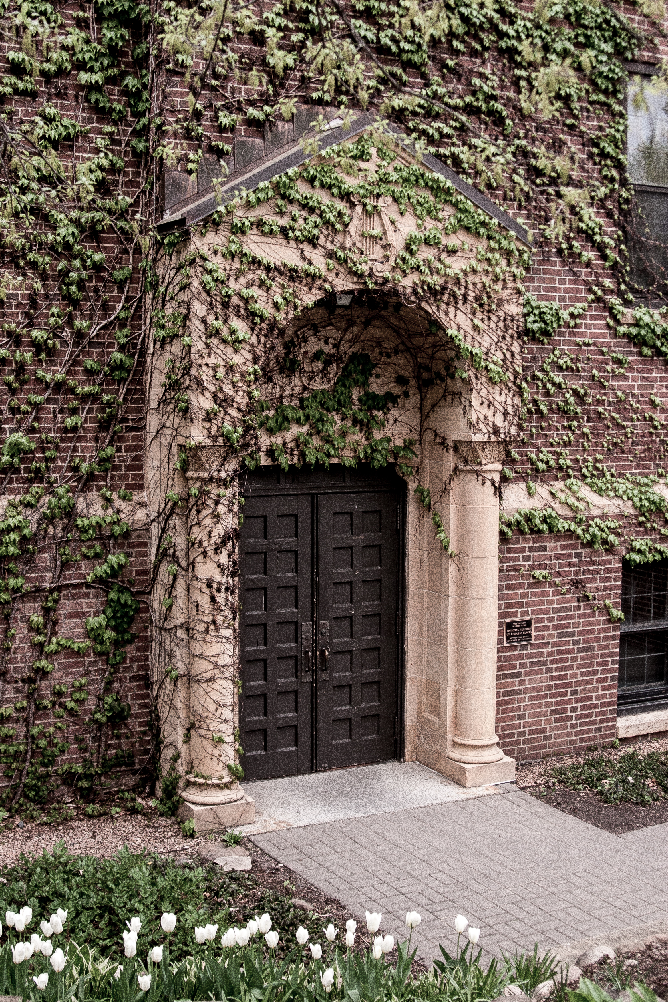
on impulse, i decided to take a walk through the st. ben’s campus and the st. john’s campus tonight right around sunset. i brought along my camera in hopes of getting some good opportunities. i also wanted to bury my nose in some lilacs.

the two campuses bring me a sense of peace that i don’t find anywhere else (maybe that’s why i gravitate toward central mn) but in two very different ways. since i went to st. ben’s, the feeling i get walking through that campus is a peace related to a more uncomplicated and carefree time.

even with the new buildings and updates, it still brings a sense of, ok, this is where i was during a formative time. this is familiar. this is what i lived and breathed for four years. this was home for four years.

and st. ben’s is on the edge of st. joe, so there is a sense of civility to it – the noises from hwy 75, glimpses of cars driving past the main building. even though st. joe is only a few thousand strong, you still feel like you a part of a larger piece, something more modern, yet still holding onto tradition.

but when i step on the st. john’s campus, there’s a sense of wildness, woods, and looseness to the peace. a sense of peace you would only get by slipping into nature, whether it’s paddling one of the lakes, heading into the trees, or hiking along the trail to the chapel.

it wasn’t until i had graduated that i learned that st. john’s is not named after the apostle john, a more mystical creature. no, the campus is named after st. john the baptist, who lived in the desert and raved and ate grasshoppers. this changed my mindset about the campus completely.

while i never called st. john’s home, i did have many classes there. if given the choice between visiting st. ben’s or st. john’s, i choose st. john’s every time.

and since i’ve moved to avon, i’m 10 minutes from campus and gladly take the short jaunt to spend time in the woods, finding a piece of peace.

mn state parks: great river bluffs, latsch, william o brien, interstate, and wild river (whew)

mn state parks: great river bluffs, latsch, william o brien, interstate, and wild river (whew)

what a difference a day makes. my drive home from la crosse was exponentially greener than my drive down. i was hoping for great greenness when i got home (that was a no go. we needed rain.)

the first state park stop was great river bluffs, which is right where i-90 and hwy 61 meet just north of la crosse. this was a nice park, with camping and river views and pine trees and aspen, oh my!
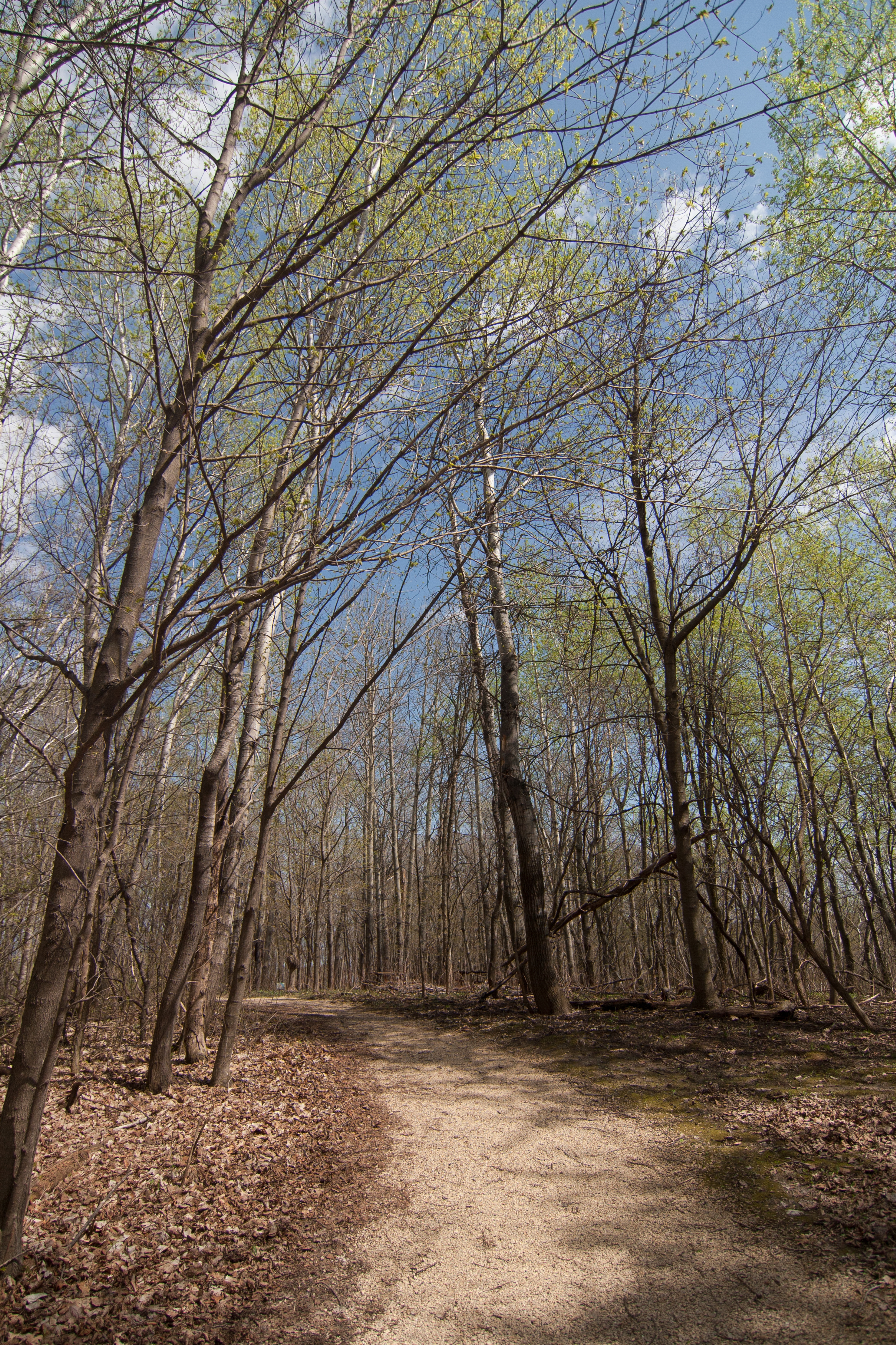
but it also had a lot of college kids. throwing balls at each other and also at my car. cool. 
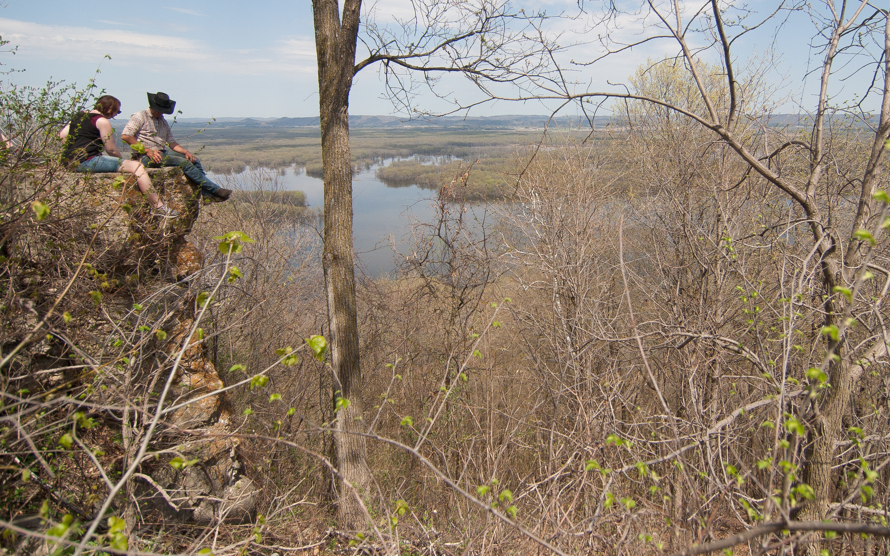
the views off the bluff were excellent, though. and summer break has to start sometime.

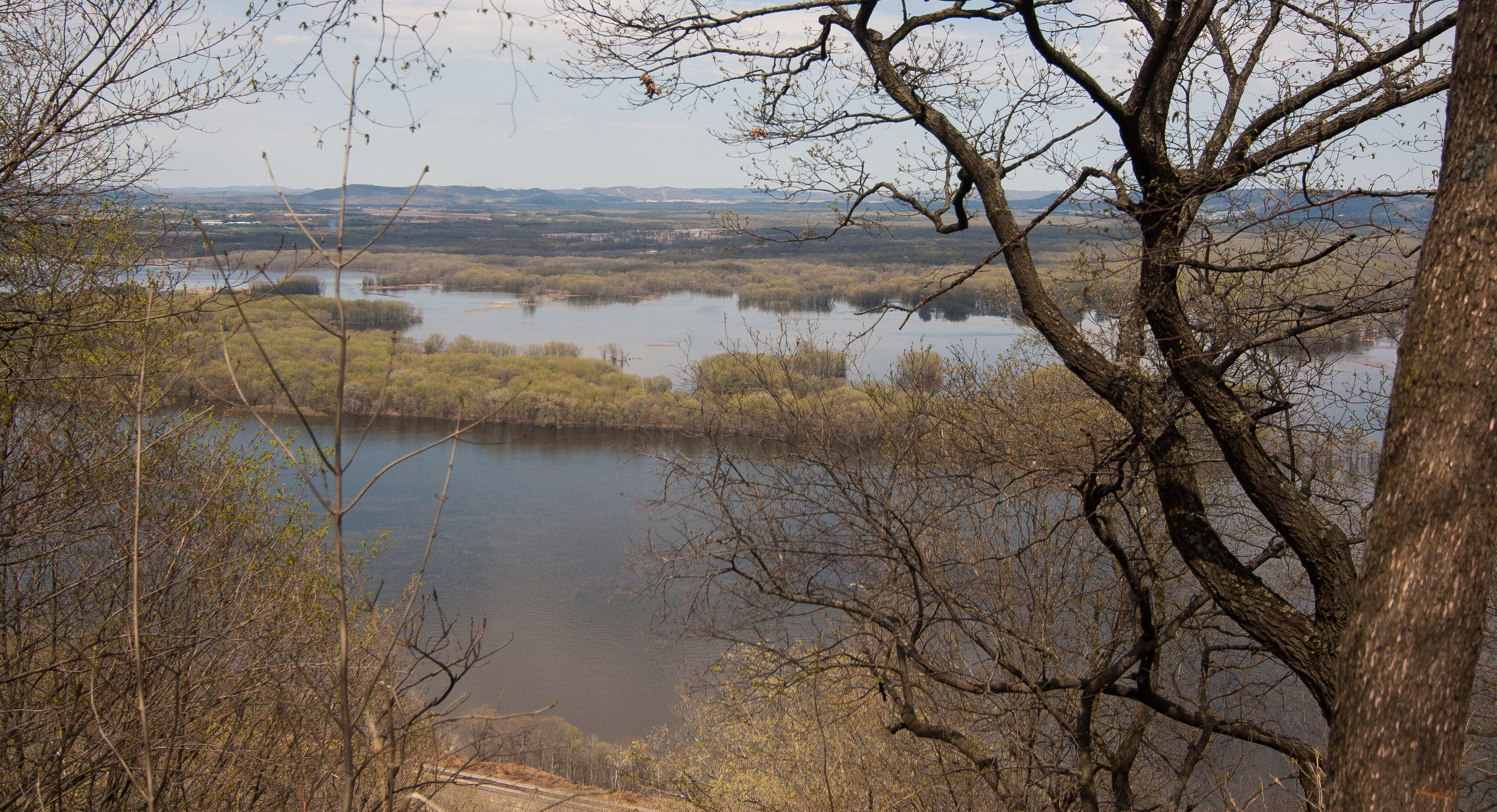
i love that this part of the mississippi is so spread out that there are islands with trees in the middle of the river. it’s hard to notice the width of the river from the road.
speaking of the road, i drove down during the 100-mile garage sale, which was a real pain. cars driving 35 looking at sales suddenly creep up on you when you’re driving 60. i was impressed with my resistance to stopping for minidonuts.

*****

then i stopped at john latsch state park, which is not far away, just north of winona. and it was so inconsequential that i forgot to take a picture. there was one gravel parking lot that would hold 6 cars and a set of rickety stairs going up a bluff. no other trails. i didn’t feel like hiking up a questionable staircase, so i got my stamp and left.

*****

sometimes it’s nice to avoid the cities when i’m driving back from SE minnesota, so i swing east and go home through stillwater, then head west pretty soon after that. this time, i headed even more north, driving through the st. croix river valley, which is a DELIGHTFUL little drive. it’s right where the deciduous and coniferous biomes meet in the state, and there are the lovely bluffs leading to the river. imagine everything good about non-prairie minnesota, and that would be it. and luck would have it, there are a couple state parks right there.

that said, william o’brien state park is definitely on my list of parks to return to. what a beautiful park. even though i got there in a downpour, it was still a park i knew that i wanted to try to reserve a campsite in.
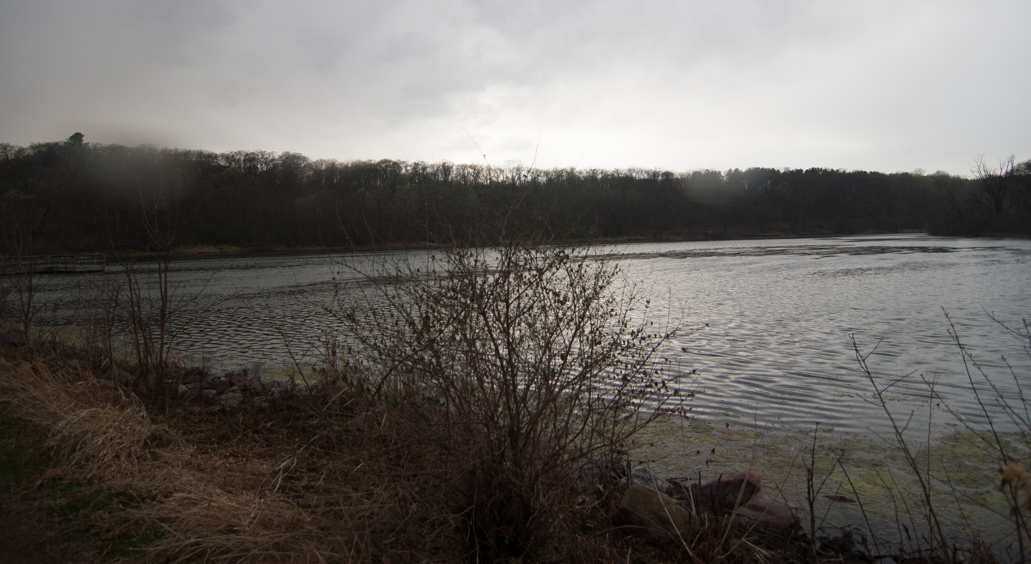
my sad picture of a river inlet in the rain really does it no justice at all.

*****

just north of o’brien is interstate, which is right on the river. it reminded me slightly of a roadside campground in the middle of the black hills. it was really intriguing – there was the busy hwy 95 running right past it, but people were happily fishing from the beach and campsites were sold out for the night.

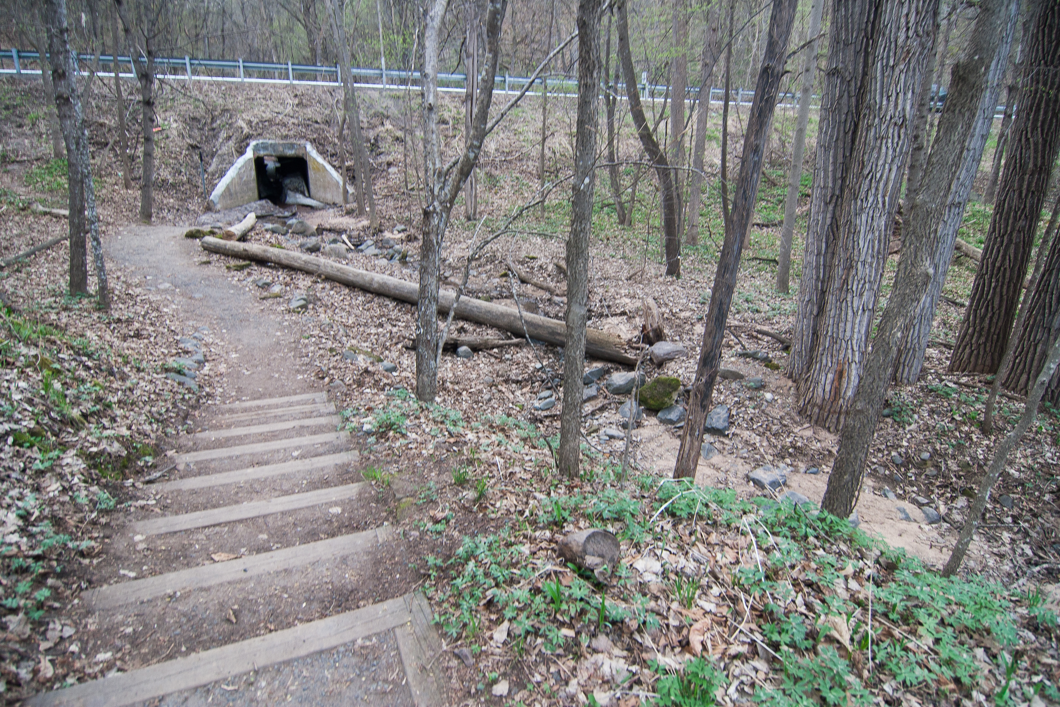
there was a path to this really interesting culvert that ran under 95, and it still had thick winter ice in it.
the minnesota side of the park is pretty tiny, but the wisonsin side (hence interstate) is really large. i’d like to explore this park more and possibly the wisconsin side, too.

as a ps: taylor’s falls, the little town right by interstate, is a cute little place i’d return to as well.

******

then i decided that it still wasn’t dark out, so why not keep on going. wild river was just up the road, and i could hitch onto 95 from there to head west toward home. so i did.

wild river is not quite as picturesque as the other two nearby parks, and it seems like it’s geared toward fishing more than anything.
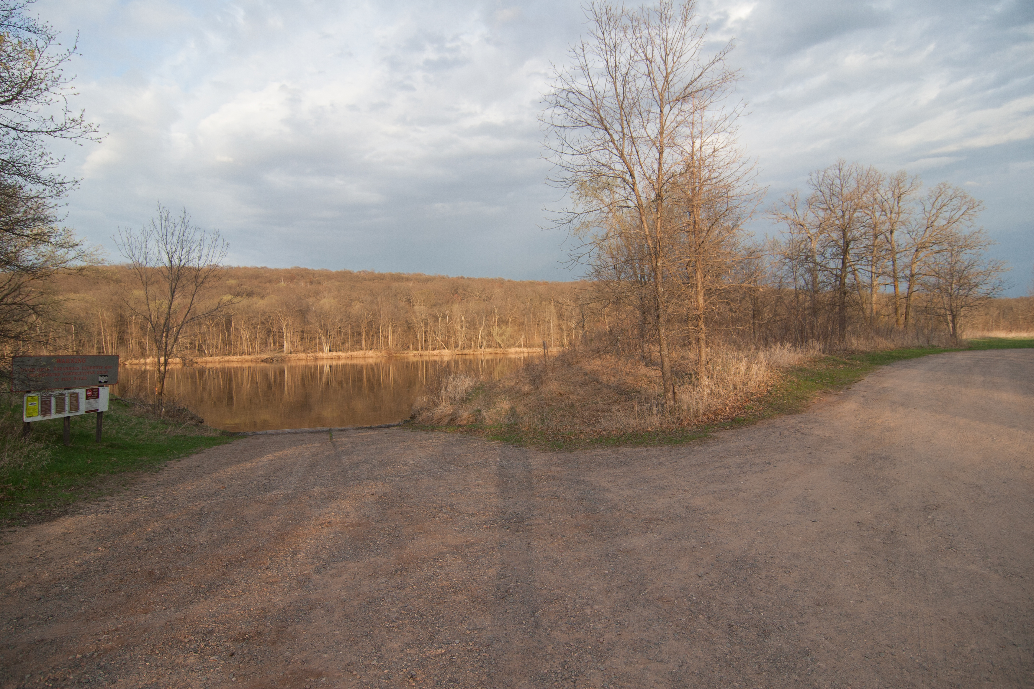
by this time, the rain had passed and clouds cleared. sunset was imminent. but the river looked calm, and i could see that the green hadn’t quite gotten up here like it had down in the south part of the state.

(that was ok. it just needed another couple days; three days later and the trees have popped here.)

i got out of wild river just about 8 p.m. and headed home. i like the drive west on 95 – i take it often from i-35 to st cloud – it’s a nice journey through some farmlands but even more forestlands, conifers and aspens with their northbound pull. i got to my driveway at 9:30, 8.5 hours after leaving liz’s.

*****

next up: i think over memorial day weekend i’m going to head to my old stomping grounds and check out the west central parks. we’ll see what sibley has to offer besides a dip in lake andrew!

mn state parks: afton and frontenac

mn state parks: afton and frontenac

last friday i took off from st. cloud around 1:30 to head down to la crosse, where liz and i were to run a half marathon relay saturday morning. since i was headed down a pretty great expanse of the state, why not hit up a couple state parks on the way? i always take the river road down to la crosse anyway, so stopping at a couple wouldn’t be that much of a problem.

the first park i stopped at was afton state park, which is east of the cities, north of hastings. i booked it down i-94 through the cities, flying past the line-up of cars headed north to their cabins. the weekend weather promised to be gloriously warm, just what we needed after 7 months (years?) of winter.

i was driving through cottage grove when my eyes were assaulted with a foreign color: green grass. it was unbelievable.

and soon after i entered afton, which is an oak savannah. oak are notoriously late spring bloomers, so the green had not yet extended to the trees of afton, where the st. croix meanders through on its way to meet the mississippi.

it’s still incongruous to have something so elementally earthy, like a state park that works hard to re-introduce grasses and trees native to the area, in the same space as something so foreignly human-made.

as far as afton, it’s not on my list of parks i would necessarily visit again. it seems like it caters to the metro folk, with its paved  paths and updated visitors center. i prefer my parks a little more rustic. i’m a rural gal at heart.

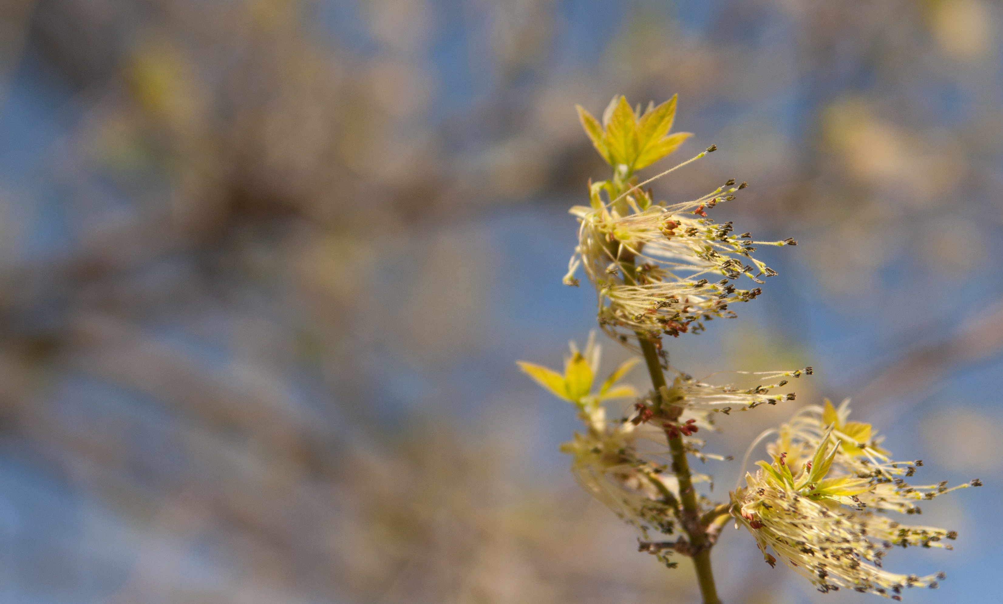
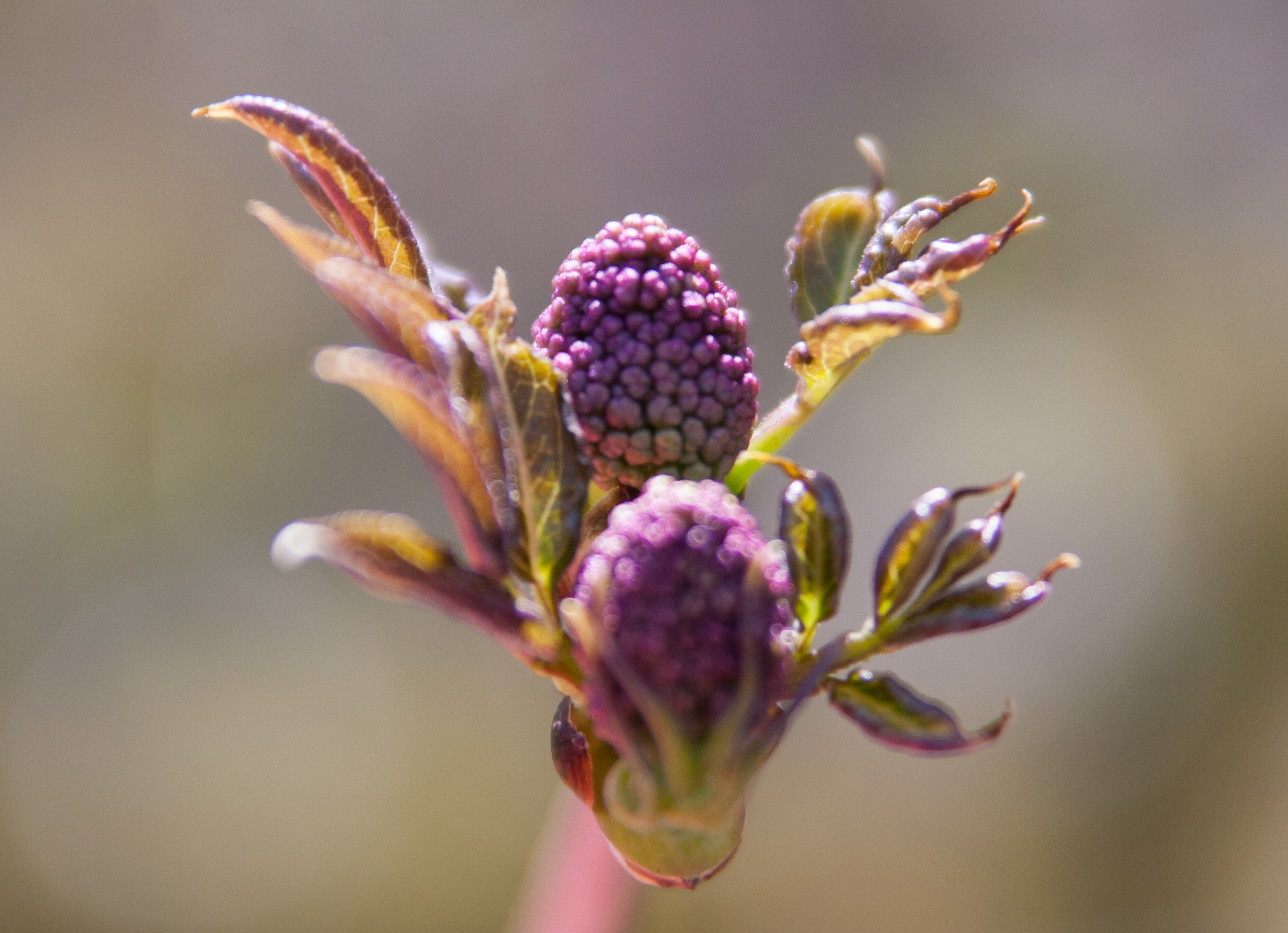
despite the barren oaks, there was some life visible, small buds holding their own against the gale force wind that day.

*****

as i drove south, it got increasingly green. though not full-on spring green (still plenty of hold-outs), it was greener than it was in central mn, and i thought maybe, just maybe, spring would actually show up.

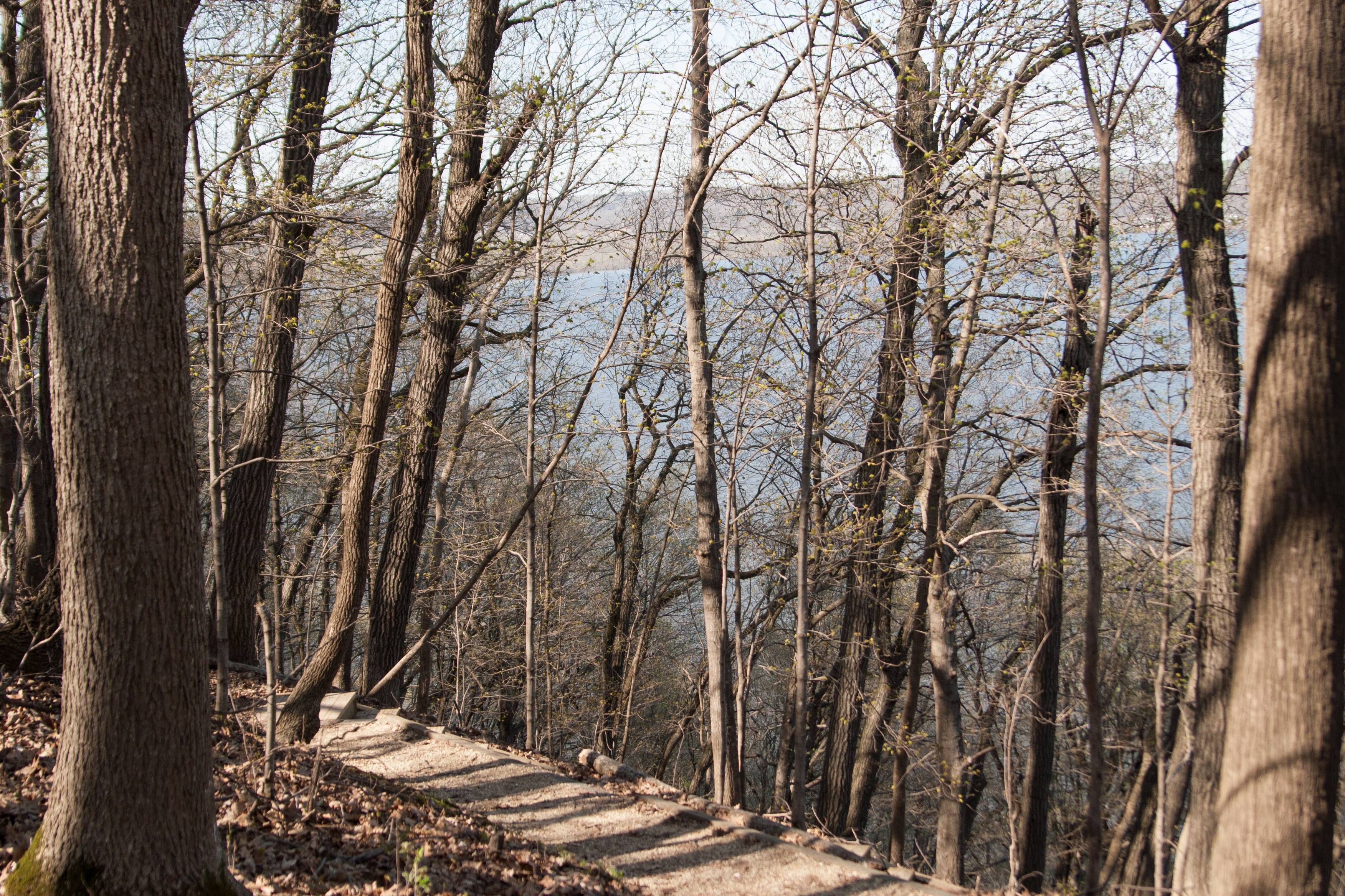
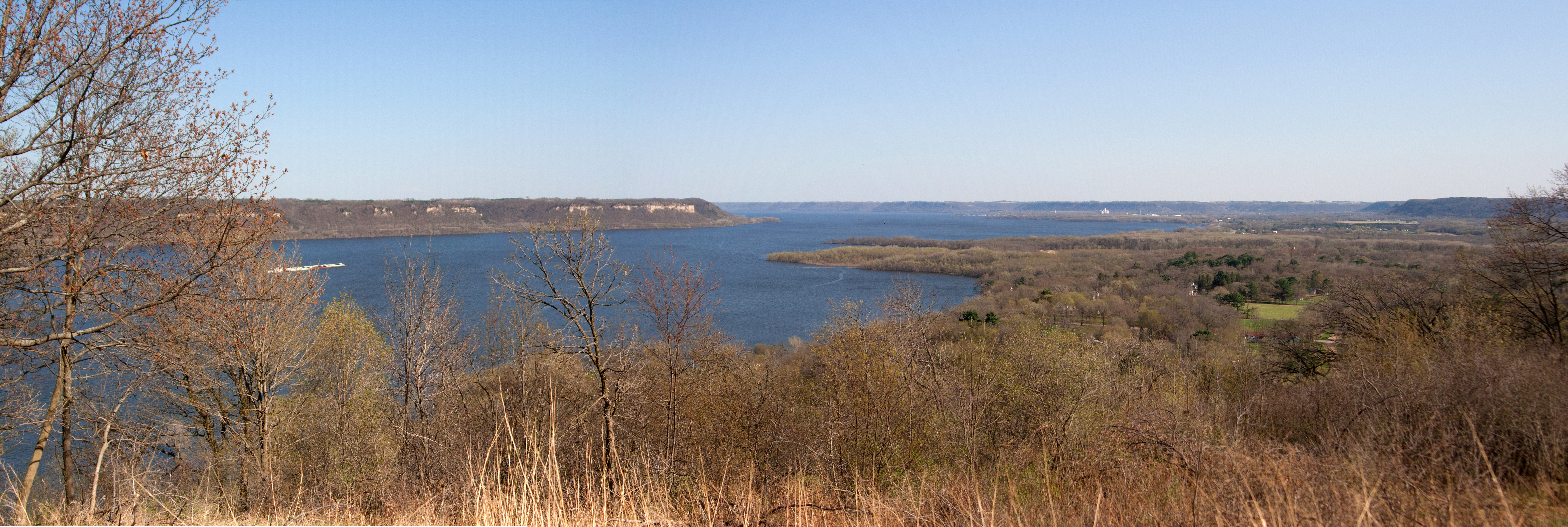
my next stop was frontenac state park, which overlooks lake pepin. what a fantastic park. there is a set of precarious-looking stairs switchbacking down the bluff to a picnic area and beach, with more than one overlook.

and then there is lake pepin itself. it’s technically just part of the mississippi, but when the chippewa river enters the mississippi, the force is so powerful that the delta backs up and creates lake pepin.

i spent too much time at this park*, having a deja vu moment and enjoying the view. i headed out, driving through old frontenac, which is on the national historical registry. i knew i was in for a treat when there was a horse paddock in town (with horses!). the old homes facing the river were charming, built in the mid-1800s. because the train tracks routed around the town early on, it’s been saved from modernization for the most part, but for some reason it’s still alive. maybe it’s because it is so charming looking.

after that, i got going and headed down the river road through lake city, wabasha, winona, to la crosse, getting into town around 7 p.m. not bad for a 6-hour drive.

*i’ve noticed that my initial idea of sparing half an hour for each park visit is NOT reasonable, especially if there’s an interpretive center. i think i’ve spent that amount of time at only one park, and that’s because it was a bust.

mn state parks – whitewater and carley

mn state parks – whitewater and carley

one thing i really miss about living in st. charles (besides ichi tokyo) is whitewater state park a mere 10-minute drive from where i used to live. i really like whitewater state park, and i might use one of my free camping certificates to spend a couple nights at whitewater.

whitewater state park

st. charles is 20 minutes east of rochester and 20 minutes west of winona. and 10 miles north of st. charles lies whitewater state park nestled in bluffs that have been carved out by the whitewater river, which also happens to be a wonderful trout fishing river.

i’ve hiked to the top of a bluff with charlie, laughed at the size of the “lake,” spent time in a hammock in the expansive picnic area on the southern part of the park, taken a run along the mile trail along the river, and i still haven’t seen 1/4 of the park. when i stopped at whitewater this time, i parked in the south part of the park and took a hike along the trail i’ve hiked a few times. a lot of people were out, taking in the warm-ish weather, and i ran into more than one fisherman trying his luck at bagging a trout.

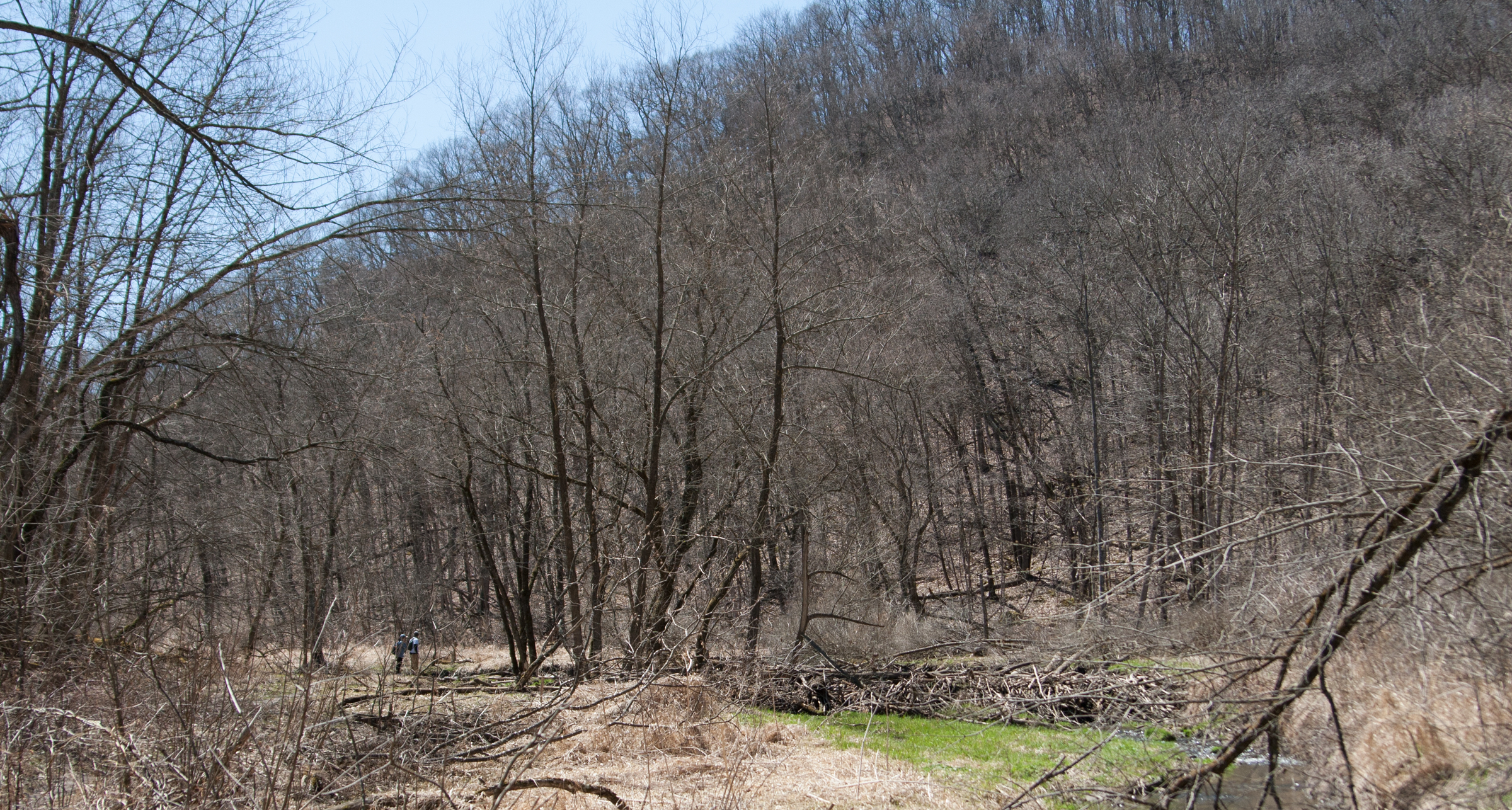
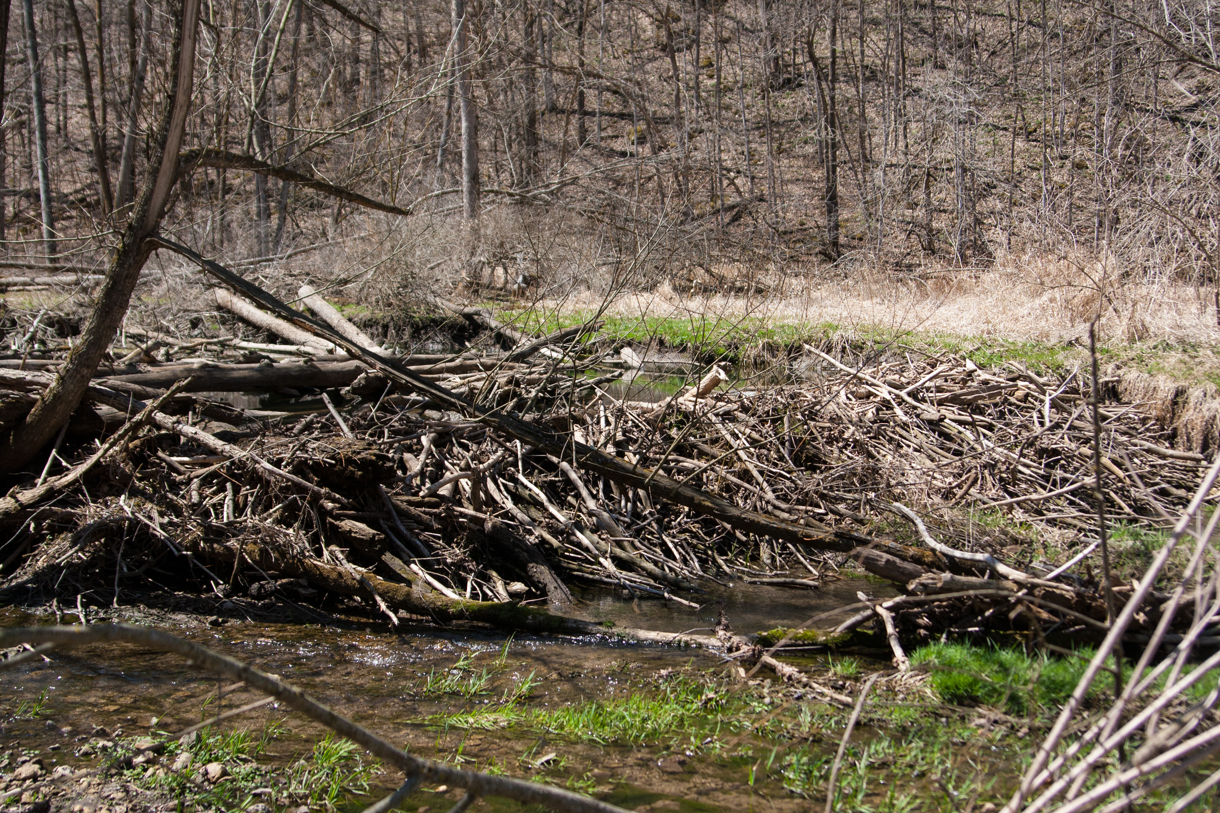
spring is at least a week ahead down in southeastern minnesota. the trees have budded out a bit more and there is no sign of leftover snow in shaded areas. the lakes have no ice on them. and the beavers are out! you can see in the photo above the bud pic there is a giant beaver dam across the river. along the path, there was a notice about how the trail is in bad shape thanks to mr. and mrs. beaver. no lie. they apparently took down two footbridges in the making of their dam. i had to go all oregon trail and ford two streams.
a closer look at the dam. it was pretty giant. i crossed a bridge that the beavers managed to not take down, and an area that used to be a nice, wide expanse of grass with the trail running through it is now marshland. i turned around and headed back, fording the two streams again.

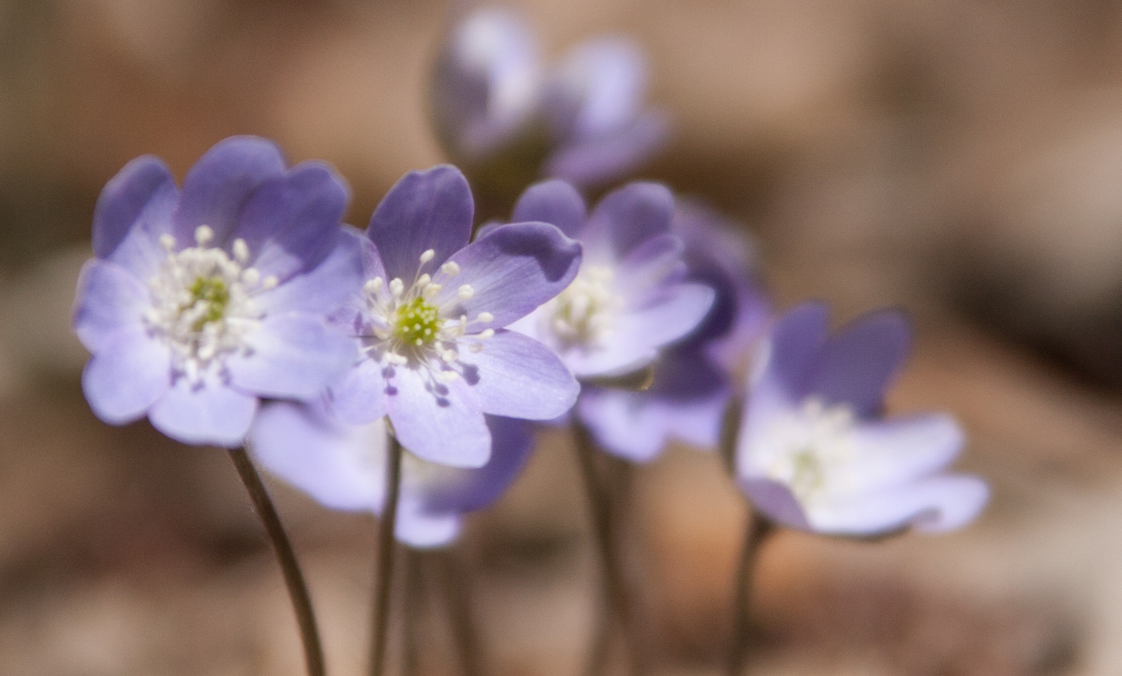
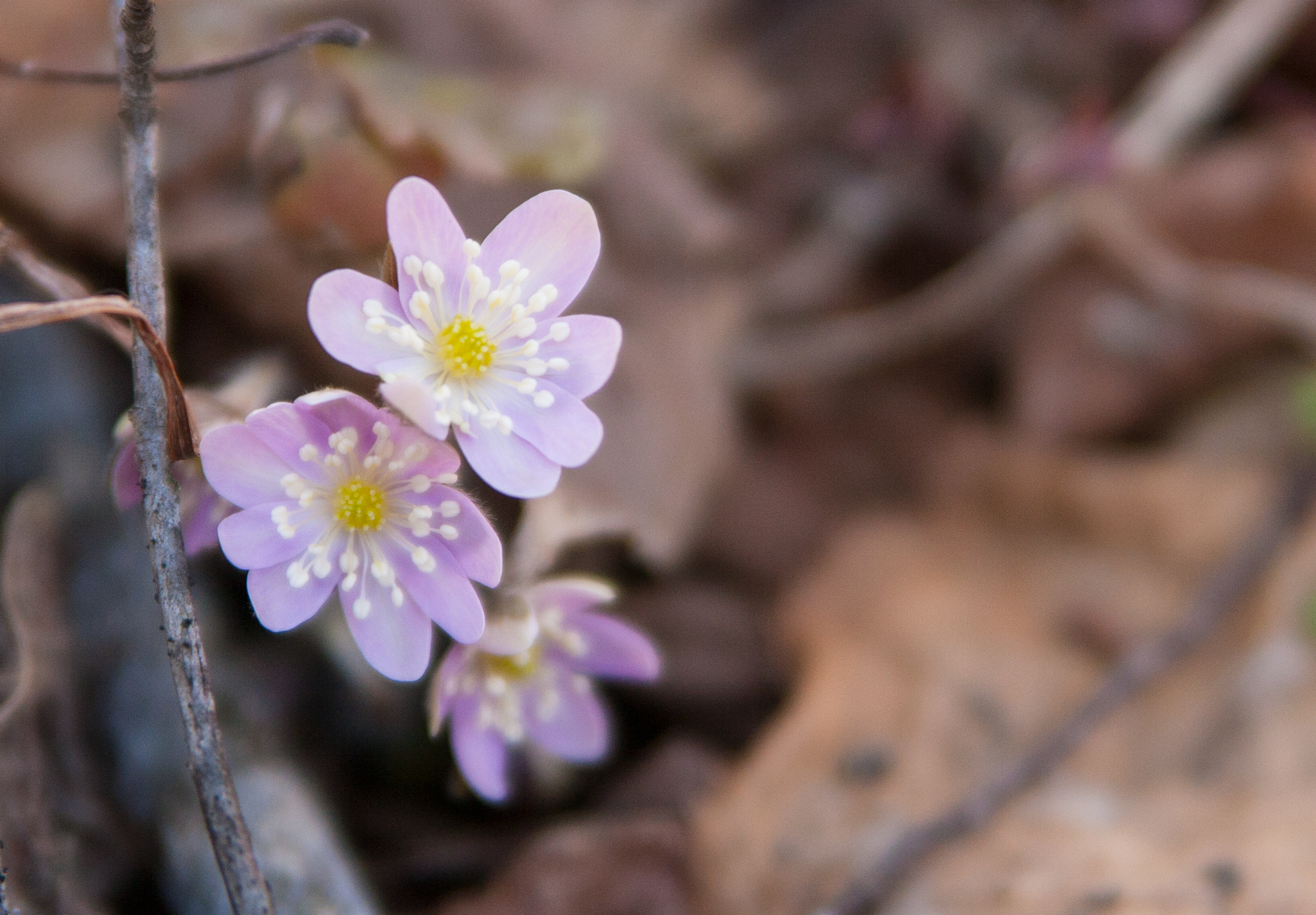
on the way back, i noticed a bunch of hepatica and had a mini spring happy moment.

even though i knew i’d probably be back to whitewater, i spent more time there than i planned. i would recommend that park to anyone.

carley state park

i am not huge fan of carley state park. i’d been there once before to check it out and hike around, and i wasn’t a fan of it then. it’s near plainview, and it was founded in the mid 1900s through a donation from a senator who wanted the white pines in the area preserved. i’m not sure what about it rubs me the wrong way; maybe i need to spend more time in the park.

unfortunately i didn’t spend a lot of time in carley state park, but i did take a short walk out on the trail before getting back on the road.

up next

next weekend i’m heading down to la crosse to do a half marathon relay with liz. on my way back, i’ll try to hit up a bunch of the parks that are along the mississippi river road: great river bluffs, john latcsh, frontenac, afton, maybe william o brien, interstate, and wild river.

that’s an ambitious list, especially after what happened on friday when i couldn’t even get to three. this may take longer than i think it will 🙂

mn state parks – fort snelling and nerstrand

mn state parks – fort snelling and nerstrand

i took friday off to head down to rochester for my mom’s work fundraiser, and i left early in the morning so i could hit up a couple state parks, meet jenee for lunch and fun, and then get to the evening fancy event. i left about 8 and made it down to fort snelling state park, which is on the south side of the cities next to the airport, around 9:15.

fort snelling

the fort snelling state park encloses the confluence of the mississippi and minnesota rivers, and this time of year, all but one of the trails are closed because of the rivers overflowing their banks, plumb with spring runoff from the northern parts of the state. that the two rivers meet in the most populous part of the state is no surprise, but it is a surprise that someone had the foresight to protect the surrounding land in a state park, given the sprawl that cities and towns tend to do.

after spending some time in the interpretive center, i took a short walk down the open trail, which meandered underneath the mendota bridge. imagining all the cars zipping overhead oblivious to the state park lands underneath made me feel really small for a moment. it’s surprising to be in a natural area, laden with trees and birdsong, only to have the constant hum of highway noise and airplane traffic drone in the background. (one reason i like living where i do: the most-of-the-time absence of human-made noise.)

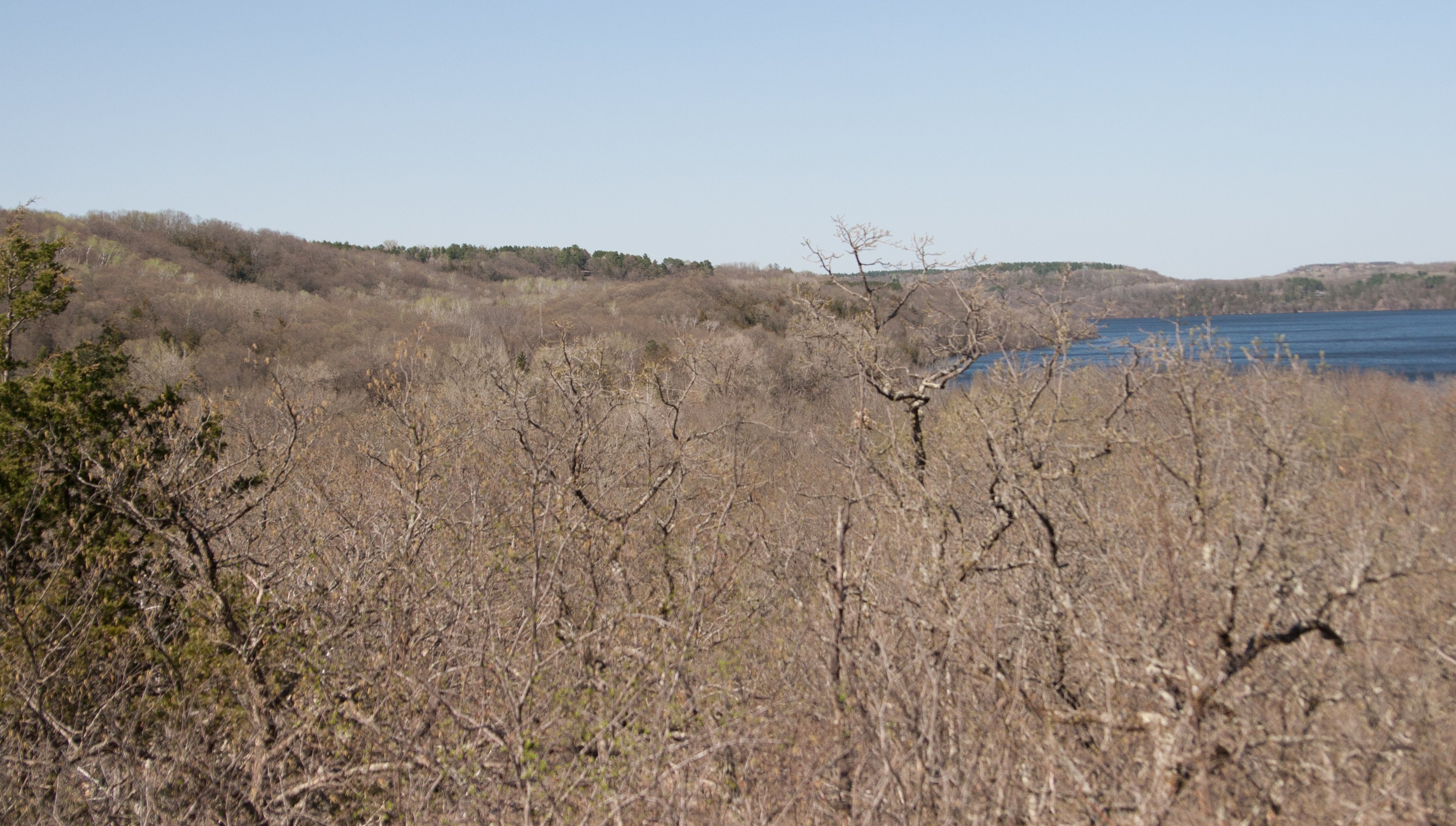
it’s drab visiting state parks in the spring, when the snow has melted and the greenery has yet to burst. the weather was a near-perfect low 60s, but since it’d been so cold in the state for so long, it felt like the trees were holding back. hope springs eternal.

on a more depressing note, in the interpretive center, there was a lot of information on how this spot was a perfect spot for the dakota american indians, and then they were rounded up into concentration camps in the mid-1800s before being pushed to southeastern south dakota. the text accompanying this information said that SE SD was drought-stricken and many dakota died. can you imagine living in this bountiful area where two great rivers meet and then being shipped off to south dakota?

spending time in fort snelling was nice. lake snelling had its ice out and i saw my first loon of the season. i would go back to fort snelling.

nerstrand big woods

i zipped down to nerstrand big woods before heading over to rochester for the rest of the day. my plan was to also stop by rice lake, but that would have added another hour to my trip, and i had a timeline.

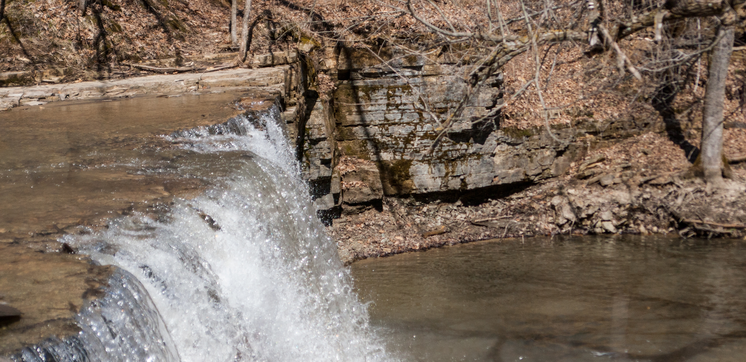
the nerstrand big woods is a large park, and it provides a wide expanse of uninterrupted woods for animals and birds like the scarlet tanager, which needs a lot of woodland for protection. each year, fewer and fewer tanagers come to minnesota due to the dwindling amount of consistent woodland. (i have a feeling the more interpretive centers i visit, the more depressed i will get.) i hiked down a short trail – half a mile or so – to the hidden falls, which was a boisterous waterfall due to the high water this time of year.

the woods are hardwoods, and the trail was nicely groomed. i was about halfway down the trail when i realized how silent it was compared to fort snelling, as nerstrand is really off the beaten path – right between I-35 and highway 52. it was nice to be able to hear the wildlife without the hum of traffic.

i was hiking pretty quickly on my way back, trying to get back to my car so i could stick to my timetable, but something caught my eye in the underbrush on my way back up the planked stairs.

hepatica! surely spring will show up here in the central part of the state as well.

state parks: first visit

state parks: first visit

i wanted to get my state park passport before heading down to rochester on friday, so i headed down to lake maria state park today after my half marathon. it also helped stretching out the legs after the run.

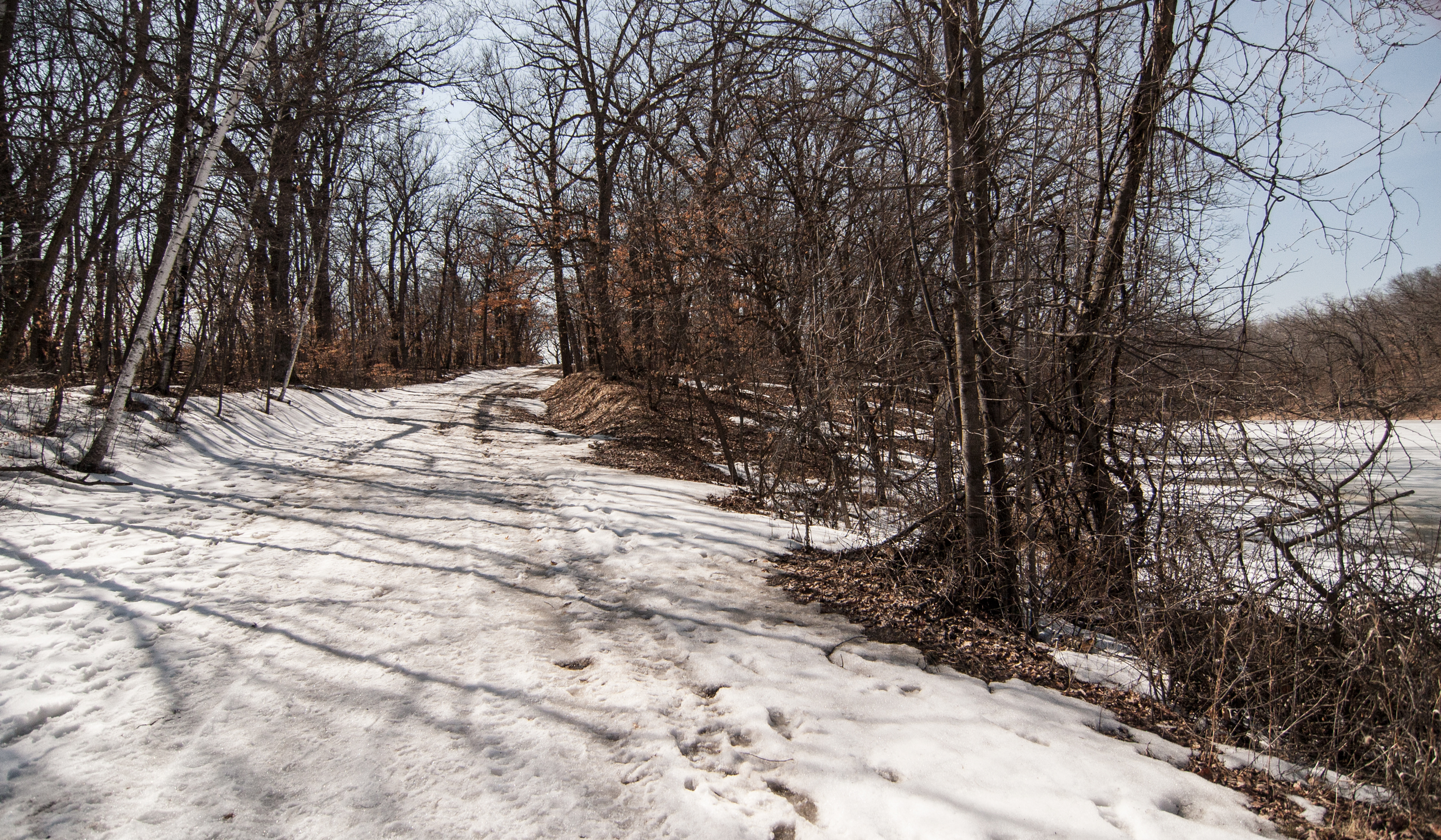
i picked up the passport then wanted to go to the lake, but the road was gated due to weather. so i parked and walked a little bit. as long as i set foot in a park (no staying in the car), i’m counting it as a visit.

i grabbed my camera and headed out. it was muddy and snowy on the gravel road, but i went maybe a quarter mile then turned around.

side note: i may drive down there at some point to see if i can do a trail run. it might be frowned upon, but i should at least try it.

photos aren’t great. it was mid-day, which is awful for good looking photos, and it was pretty monotonous.

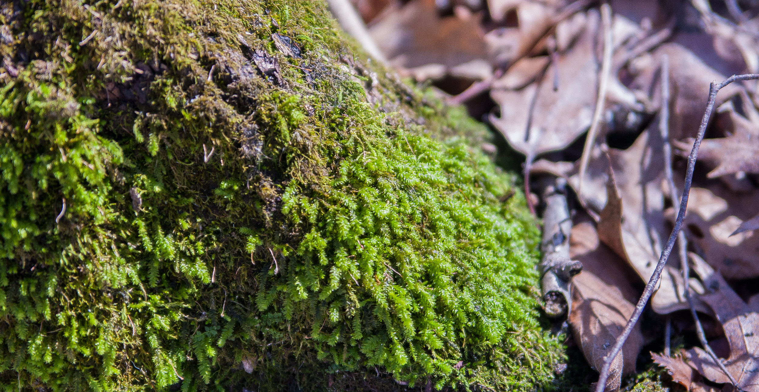
this was the only green i encountered. it occurred to me that these visits will also be a nice study in seasonal change in the state.

day … sizzlethree? driving and more driving

day … sizzlethree? driving and more driving

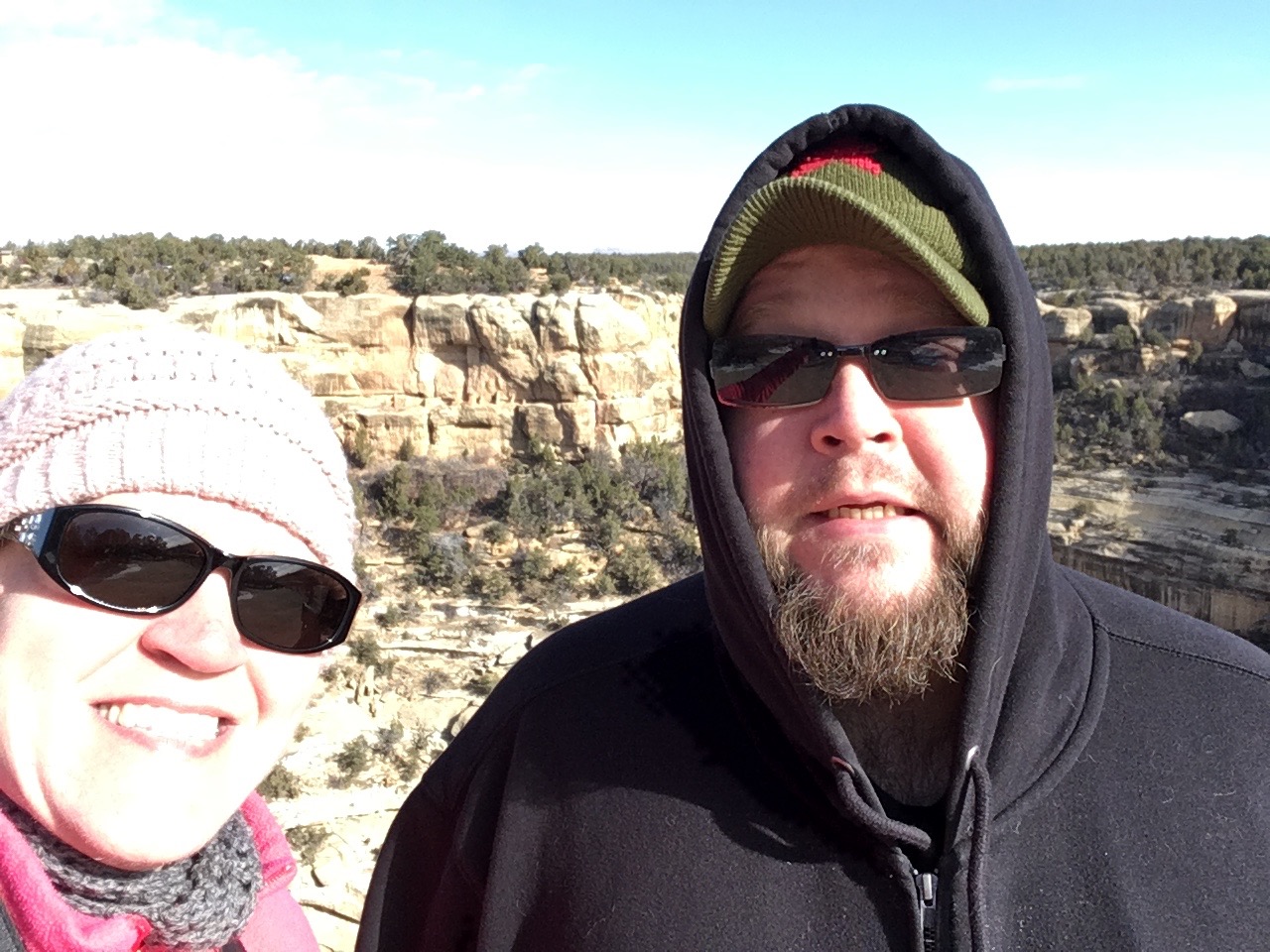
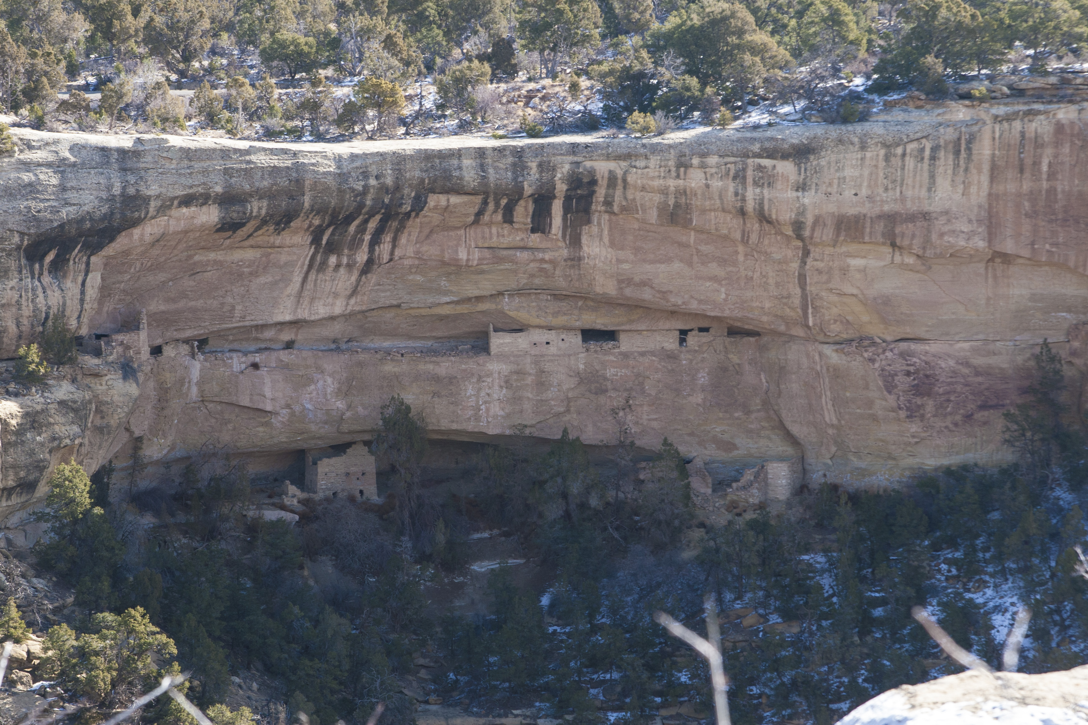
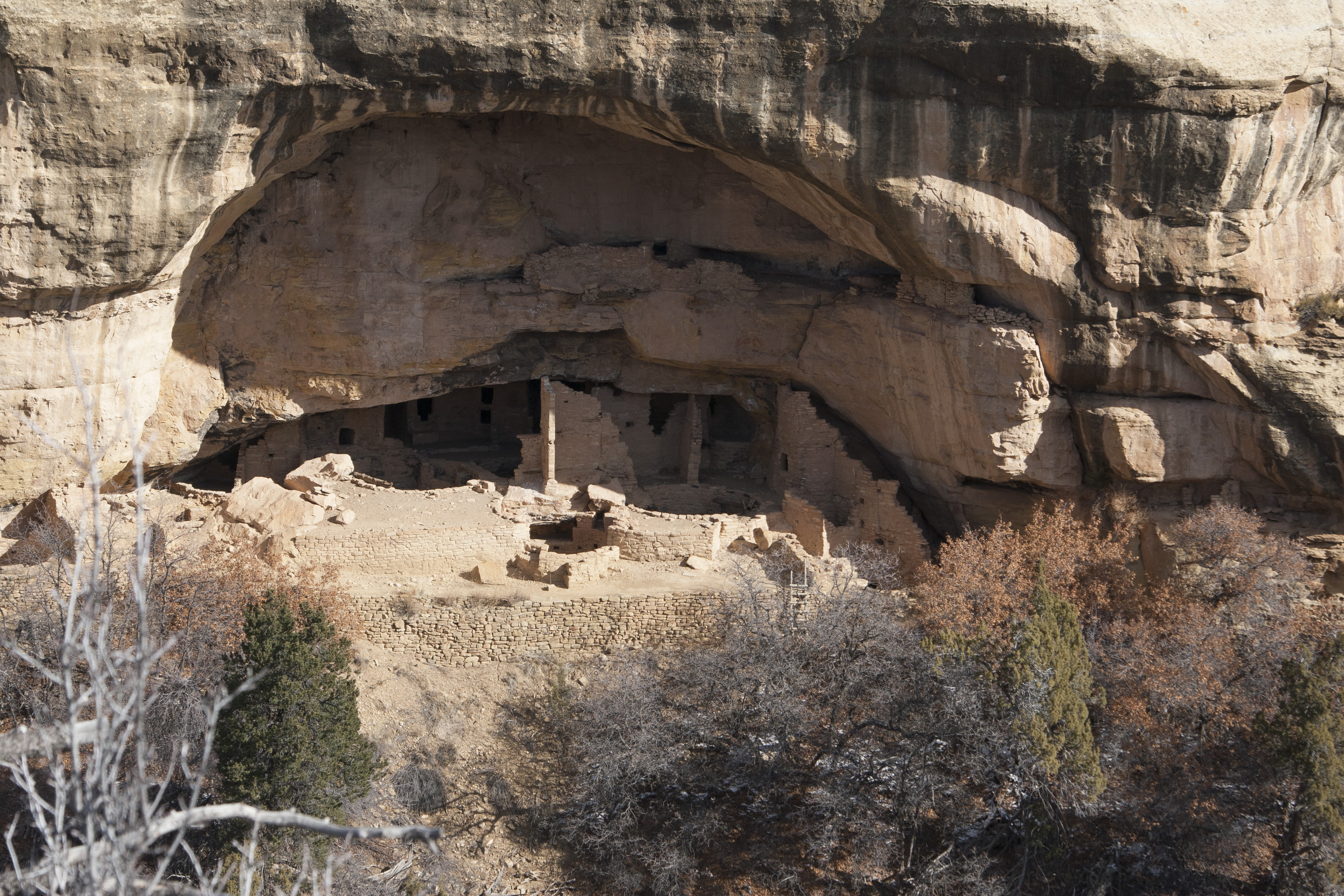
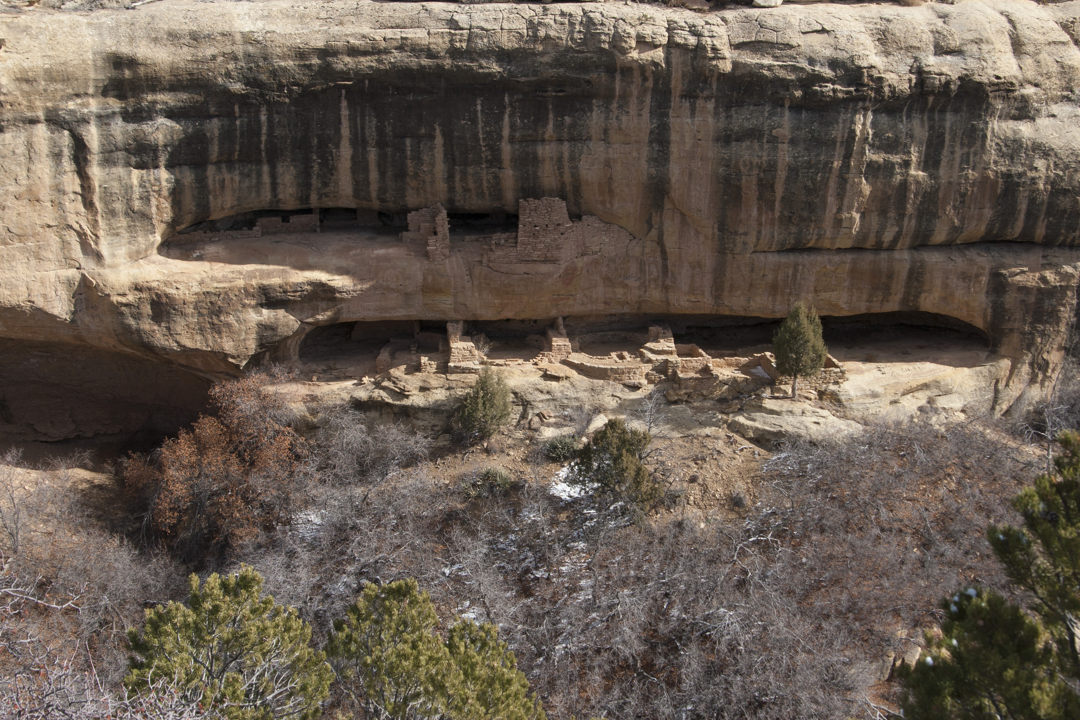
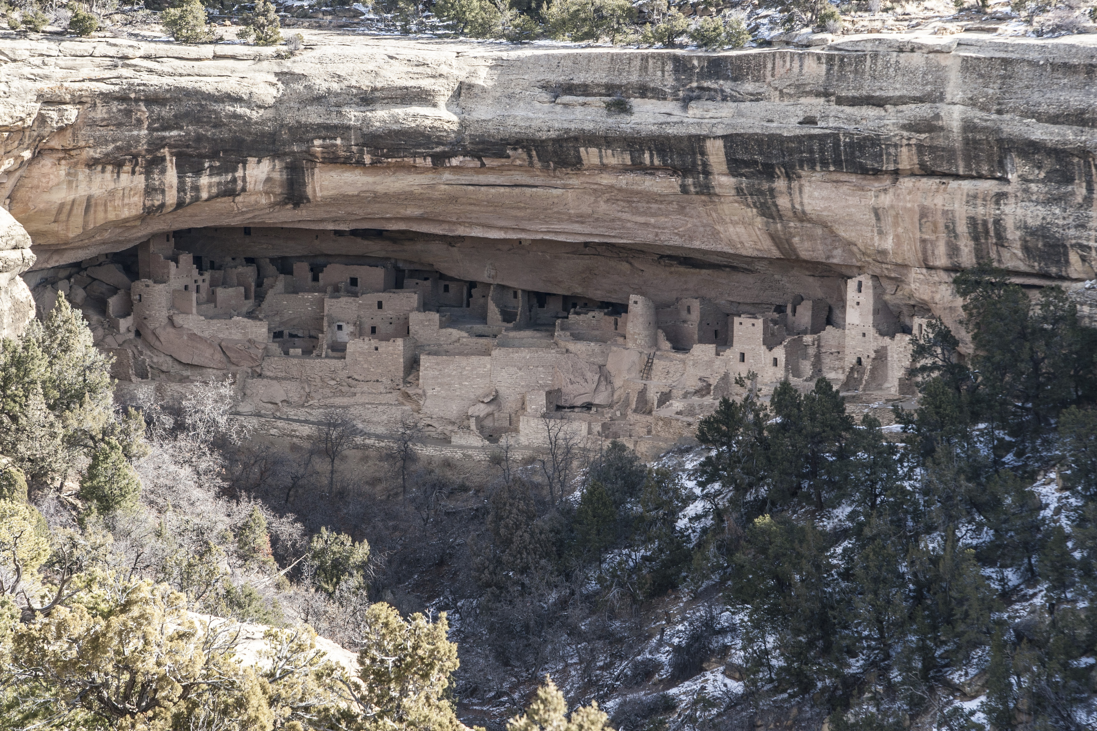
GUESS WHAT. mesa verde was open this morning. so yes, let’s add another 1.5 hours of driving onto the already long 6.5 hours! i didn’t care. this has been a bucket list item for too long to not check it out while here.
IMG_3618 mesaforest01 mesaforest02 mesaforest03 mesaforest04
during the summer, you can do an actual tour of the ruins. i checked out the “requirements” at the visitors center, and the ladder was sufficiently not rickety and the crawlspace just fit my junky trunk (literally scraping the edges) so that if we DO come back during the summer (a real possibility since there is some pretty awesome lodging near the top of the mesa), i could go on a tour.
i’m glad we actually took the time to check it out!
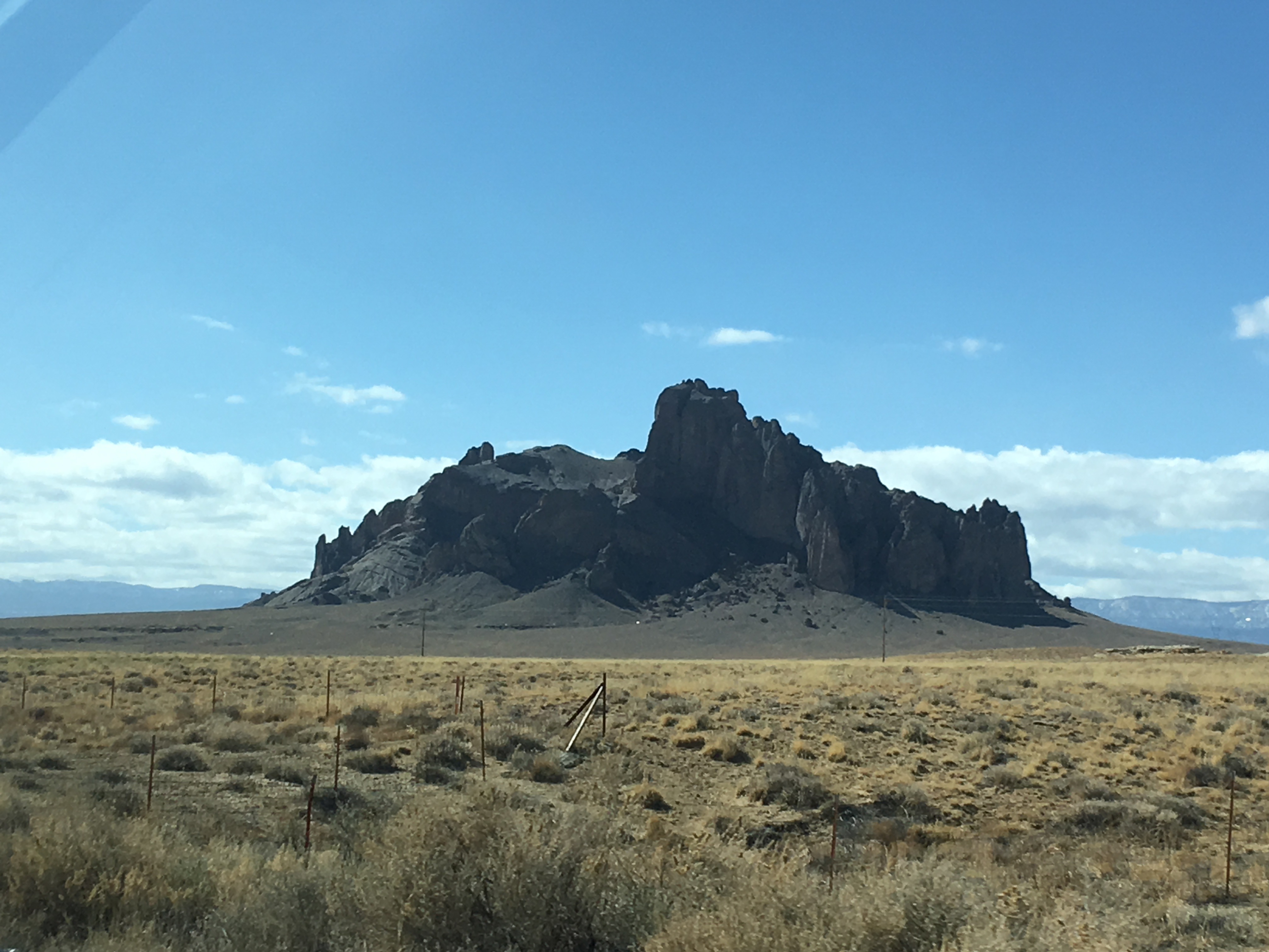
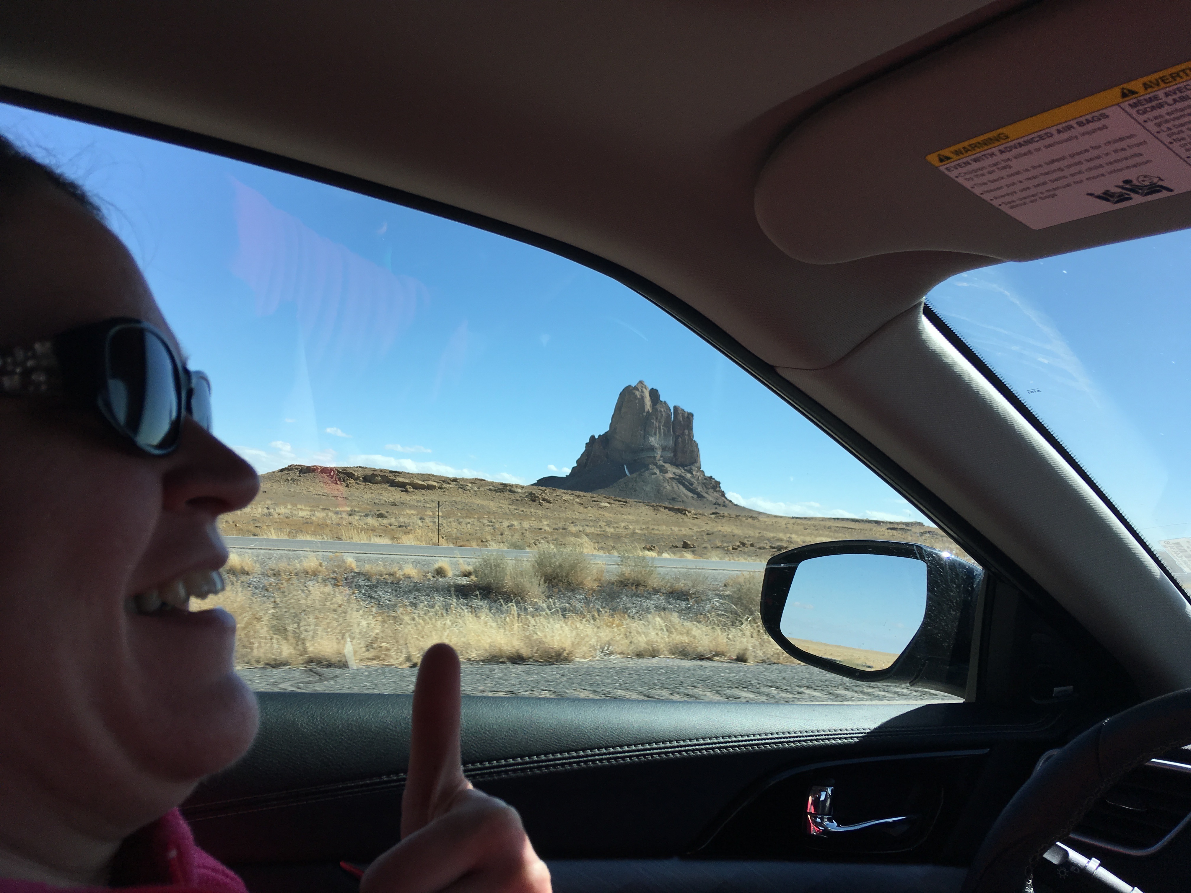
then we booked it across new mexico. new mexico has some interesting rock formations that pop up out of nowhere.
IMG_3626 mesaforest05 IMG_3633
UGH look at my four chins. i swear i gained 20 lbs so far on this trip. blargh!
so we drove and drove, drove some more. we stopped to get some gas and snacks, but otherwise it was flatland city. but then we saw a sign for the petrified forest national park. at first we both said “next time”. but then i said i needed to use the bathroom. and nate was really excited about visiting, so we went. talk about adding more time to our drive! but we got to eat a navajo taco, ha! worth it?
IMG_3636
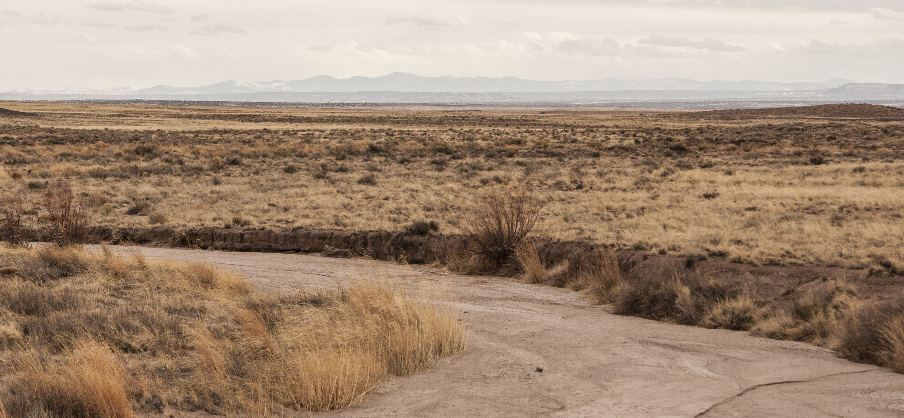
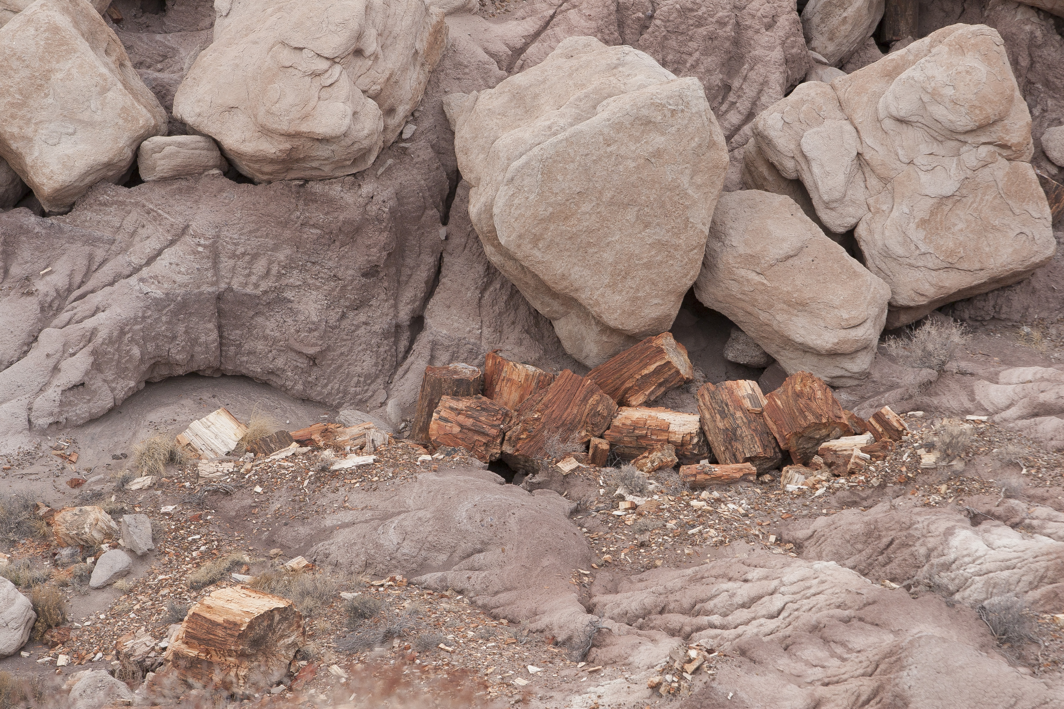
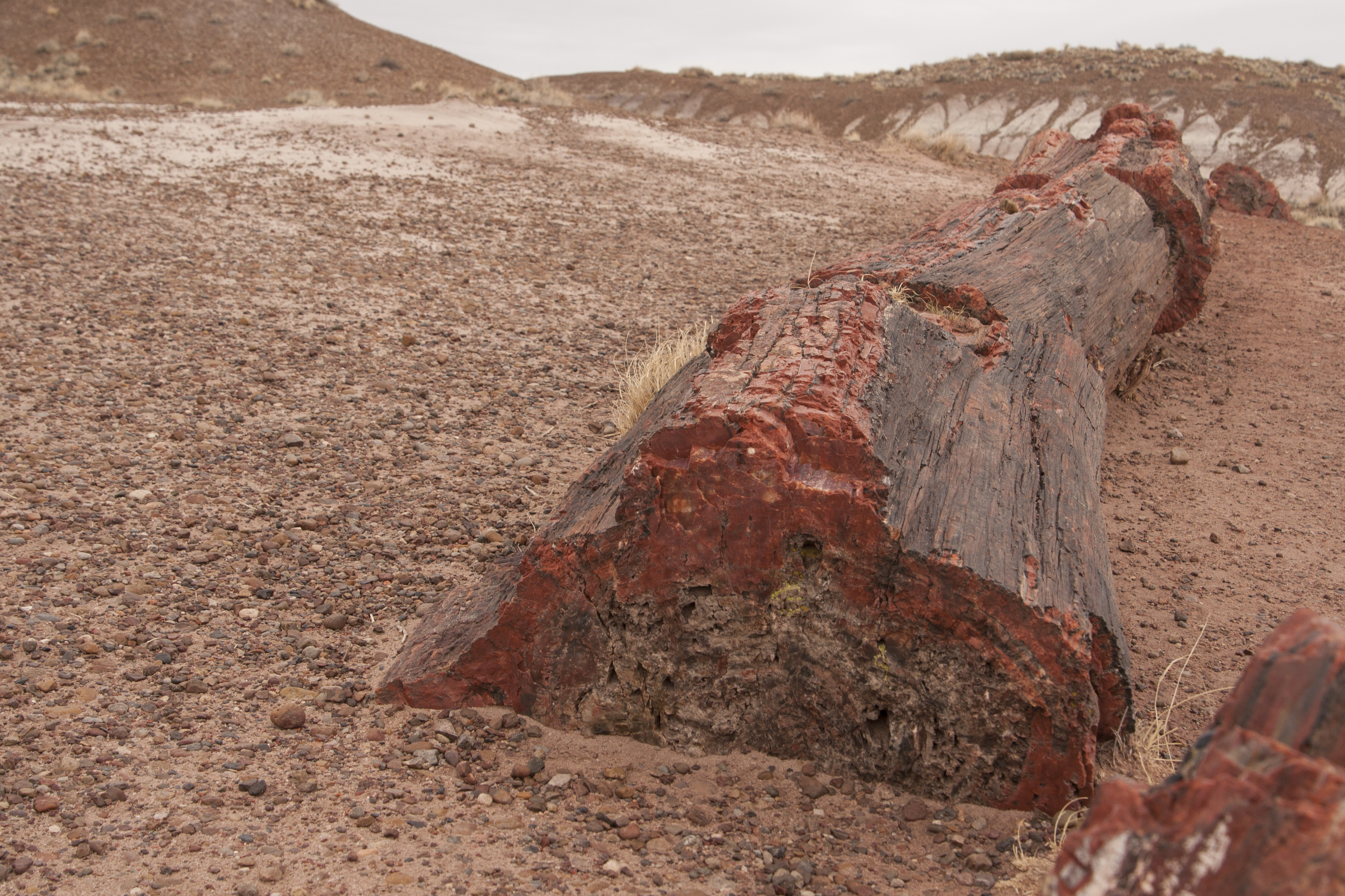
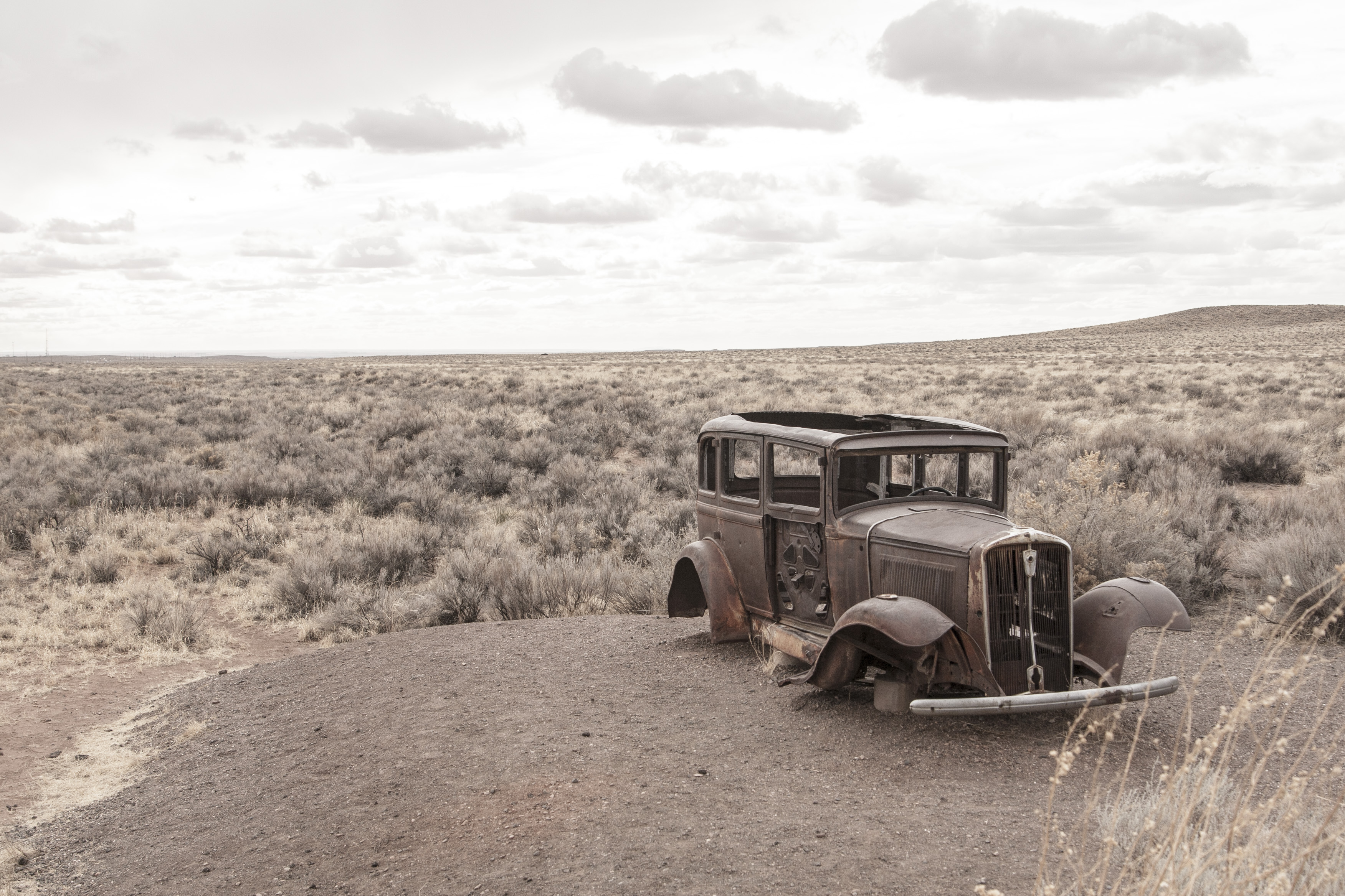
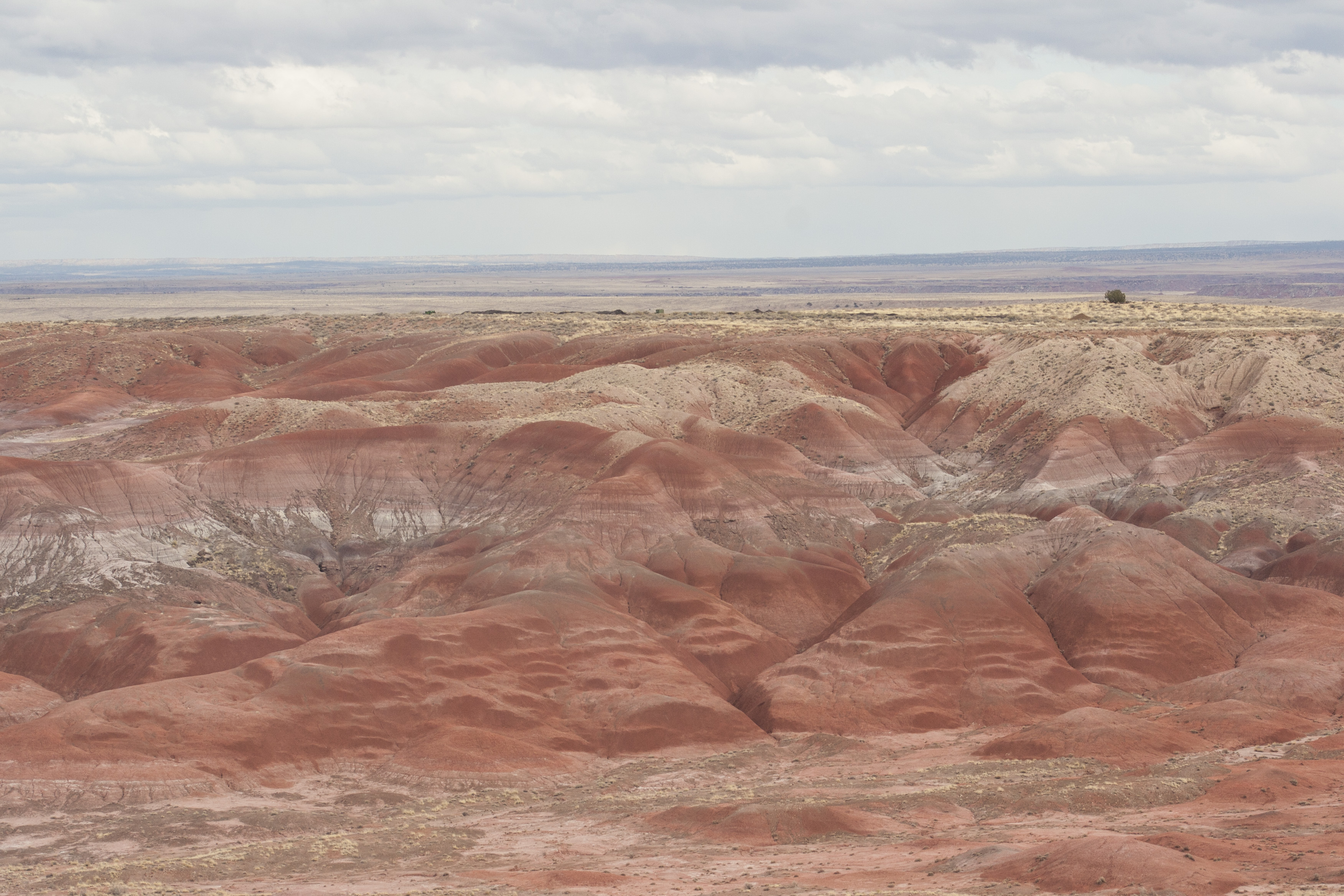
the petrified forest includes the painted desert and the only national park that includes a portion of route 66.
mesaforest12 mesaforest11 mesaforest10 mesaforest09 mesaforest08 mesaforest07 mesaforest06
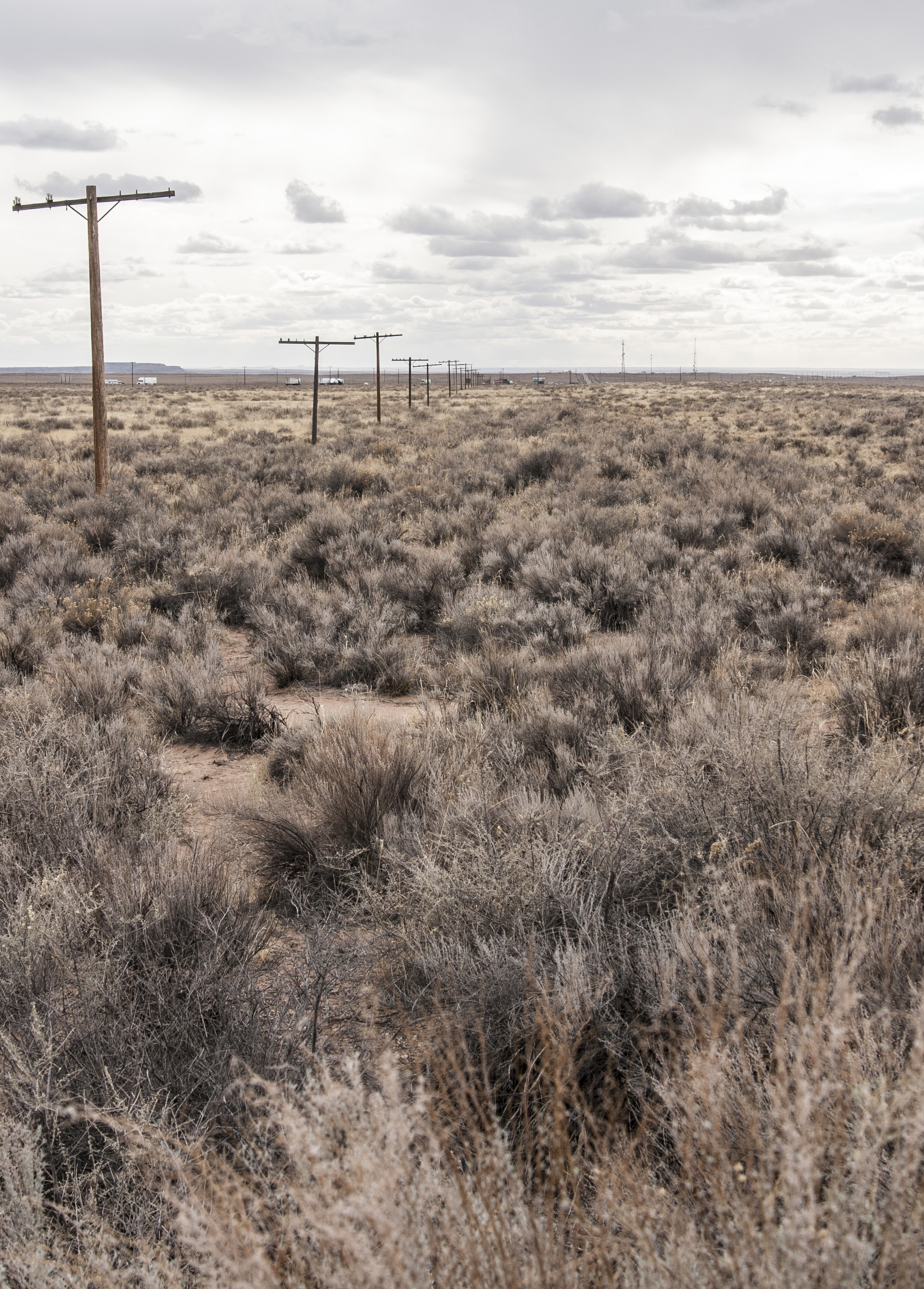
there are NO remnants of route 66 – no concrete, asphalt, etc. was it removed? did it just get grown over? i’m going to have to find a documentary on it.
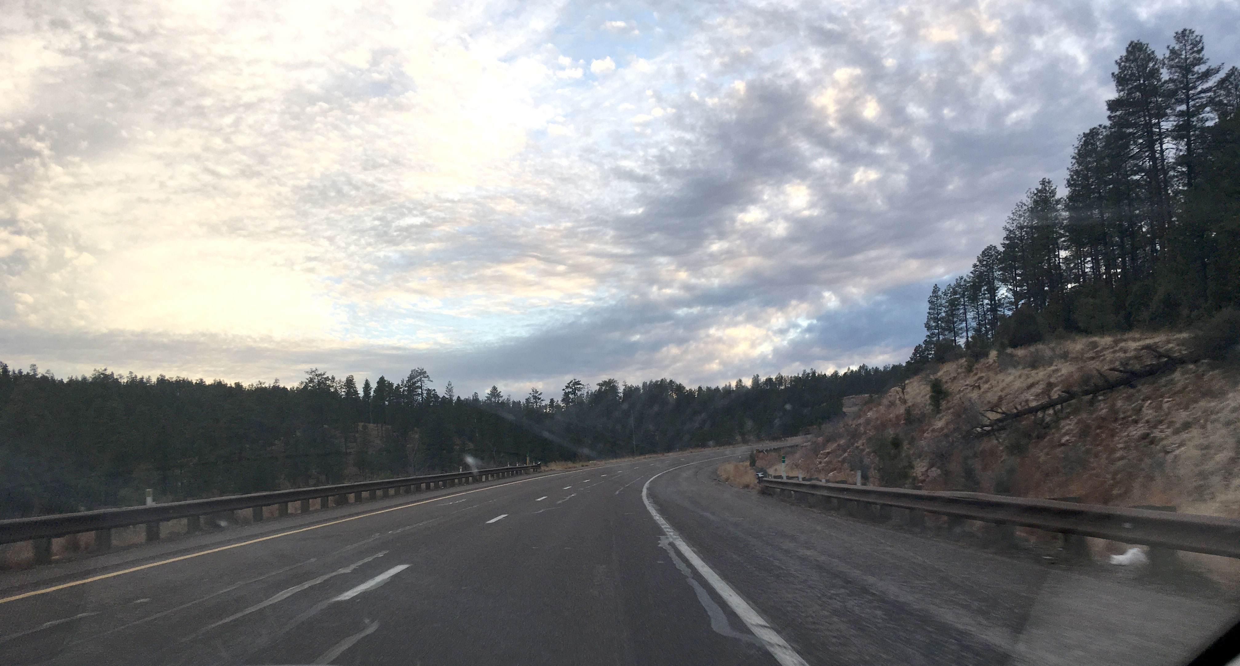
the petrified wood is really cool, and the whole area reminds me of the badlands, as you can see from the pics above. and it was actually a very south dakota-esque drive from there on out. we entered the tonto national forest after that; i smelled PINE TREES and it was glorious. it was almost exactly like driving through the hills except for taller hills. the towns we drove through were picturesque, and there were a couple campgrounds and lodges i would definitely stay at.
IMG_3637
THEN we drove through the mountains as the sun was setting and it was sooo lovely! reminded me of when jane and i were driving back to LA from sequoia.
IMG_3652
now nate and i are in our crazy huge hotel room in phoenix. tomorrow we fly out at 1:30 – we’re a short drive from the airport. and we’ll be flying back into snow. how exciting.
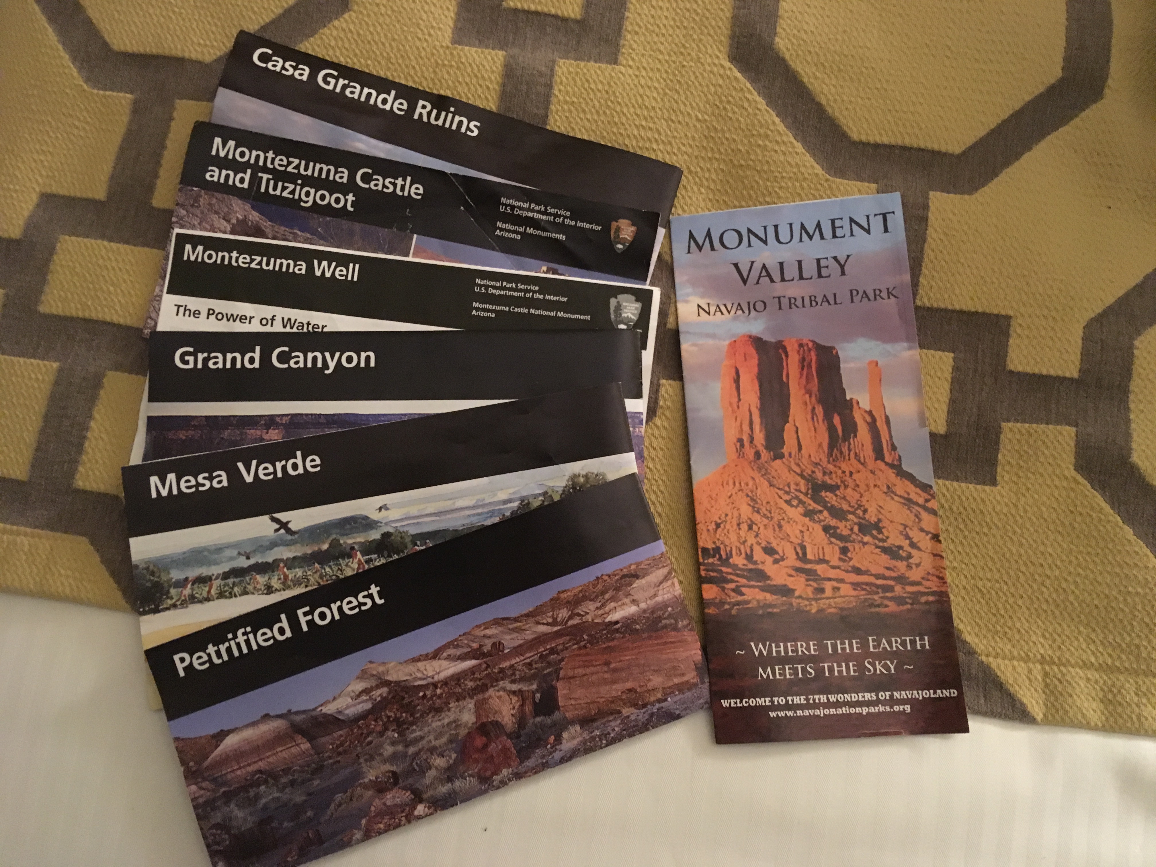
as an aside, nate and i went to 7 national parks/monuments and monument valley (glen canyon map is missing)!! totally worth the annual pass.
IMG_3654

day sizzle2: monument valley and a disappointment

day sizzle2: monument valley and a disappointment

this morning felt like such a heading west kind of morning. nate and i left before 8 a.m. the sun was just peeking over the horizon, we were loading luggage into the car in a hotel parking lot, and the road was waiting. the only thing throwing me off was that we were heading east instead of west.
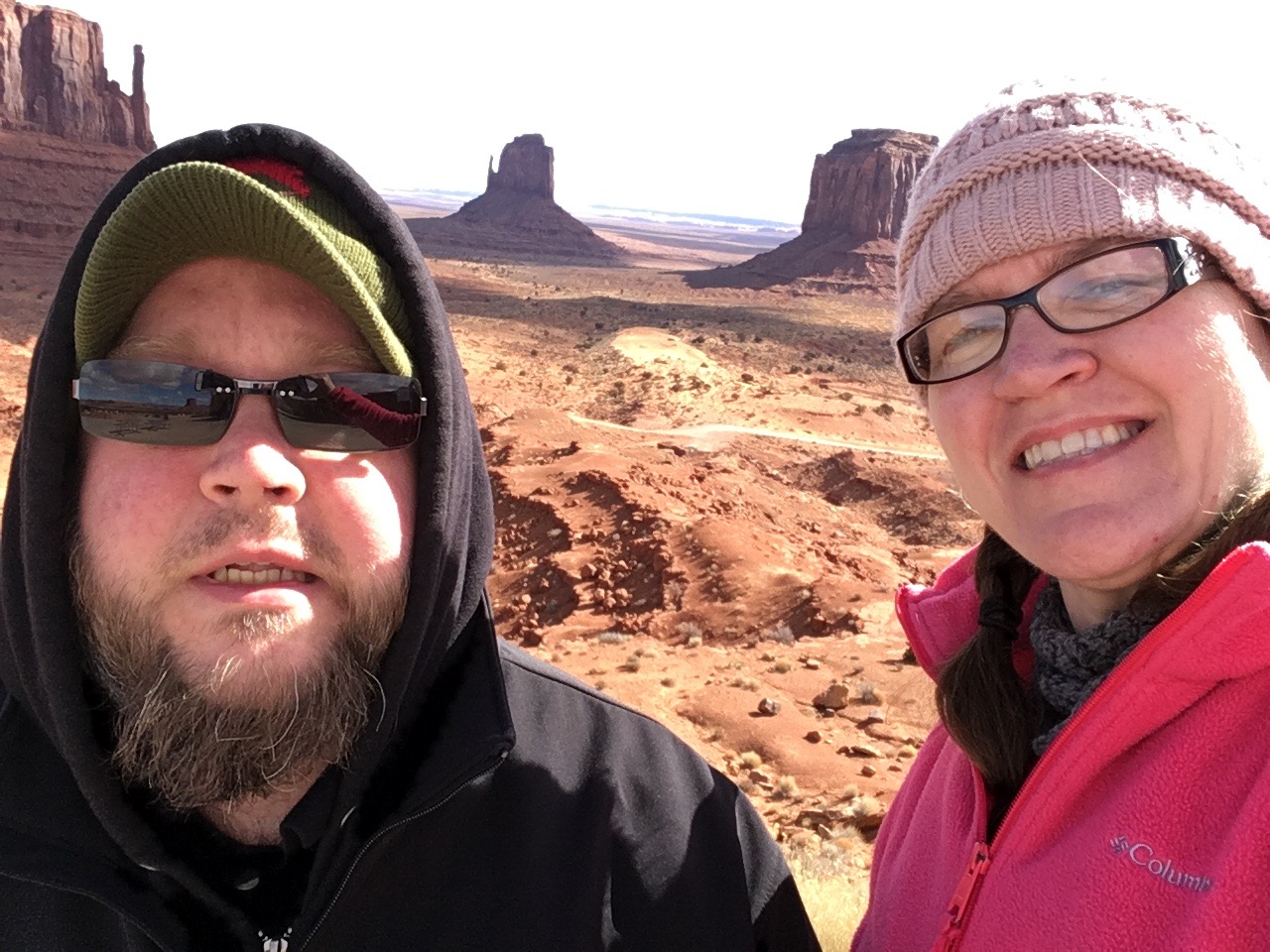
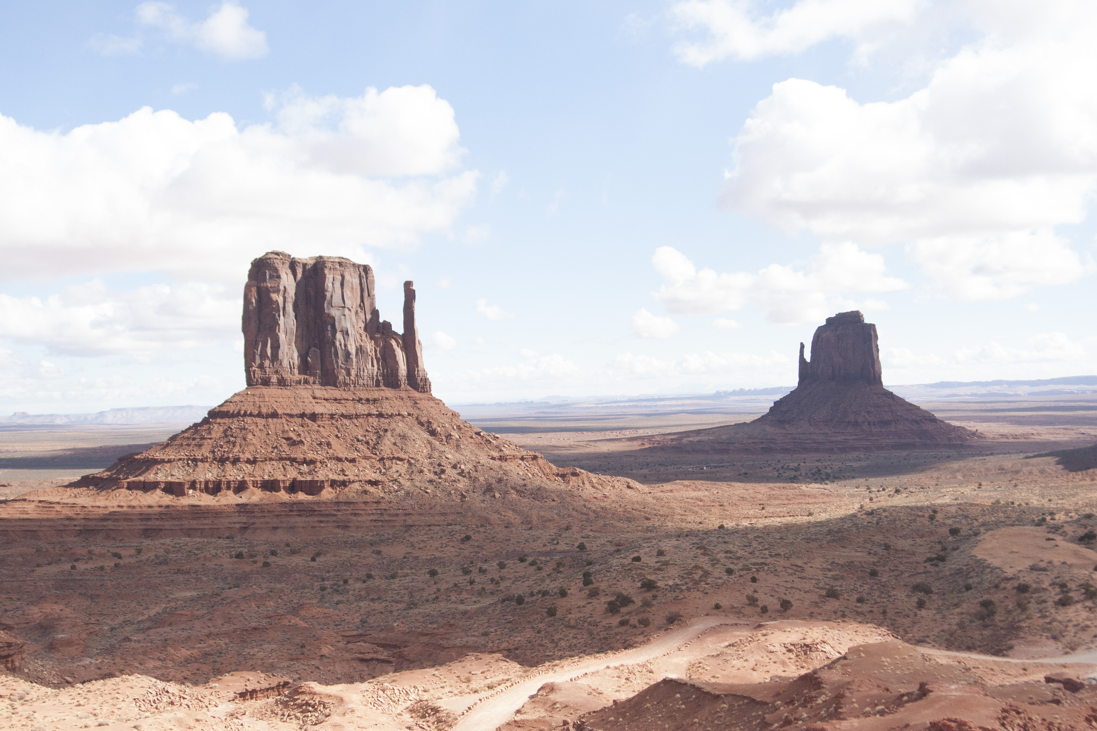
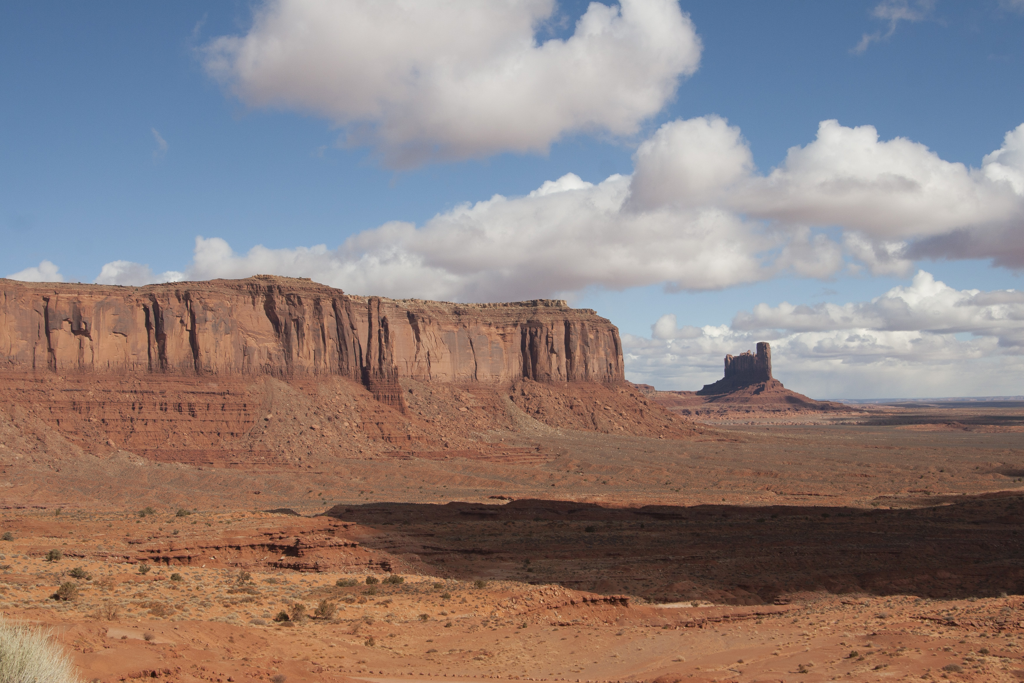
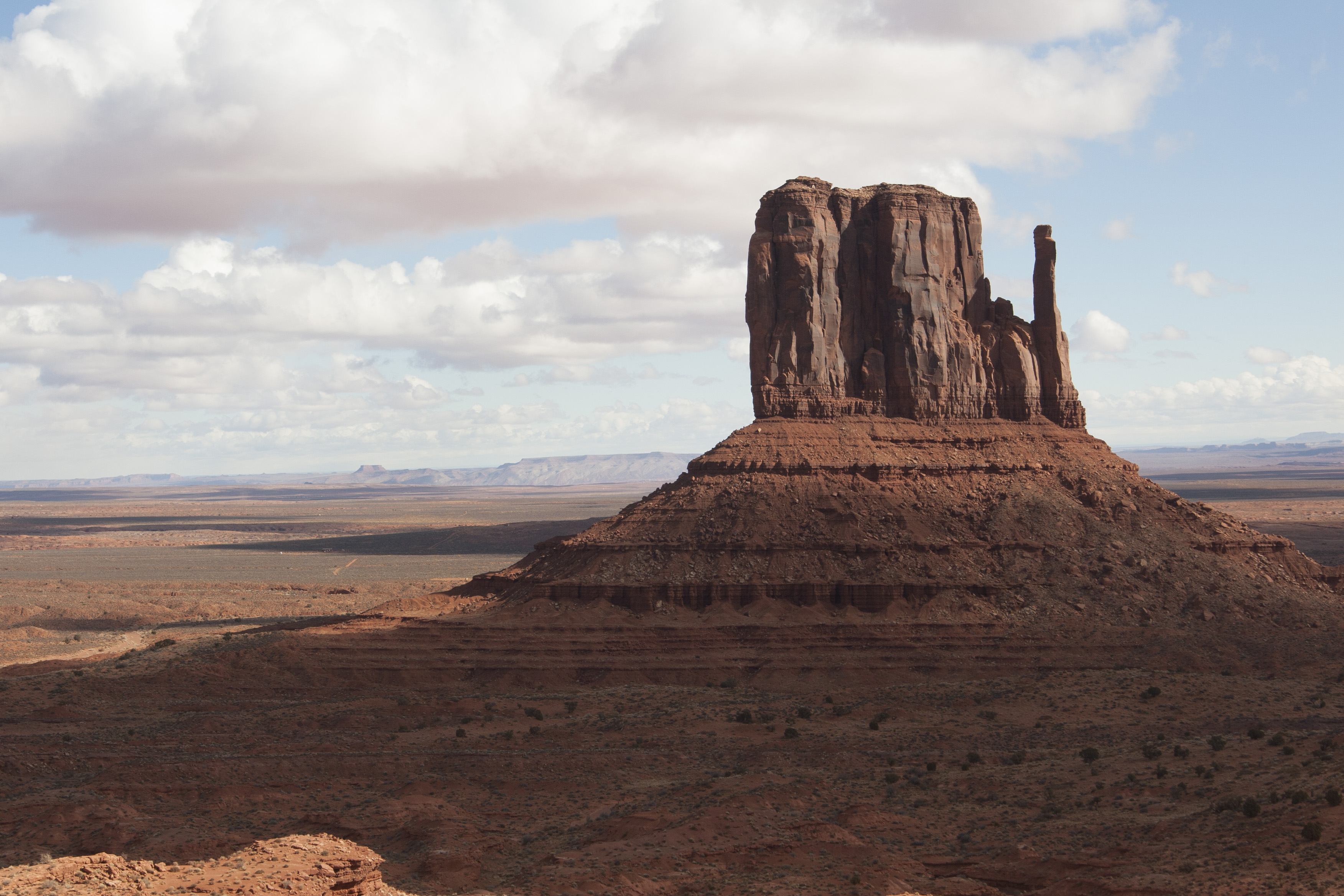
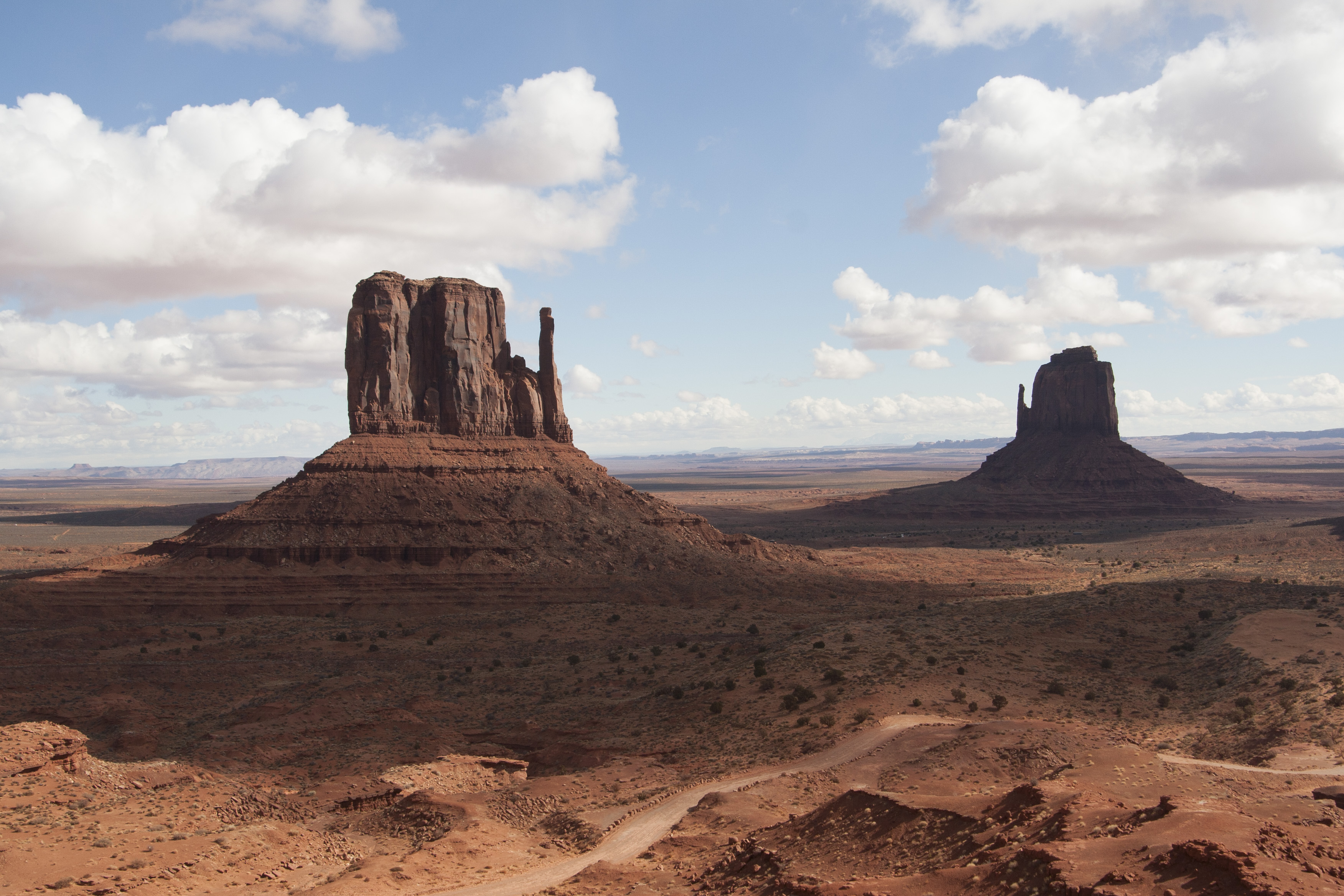
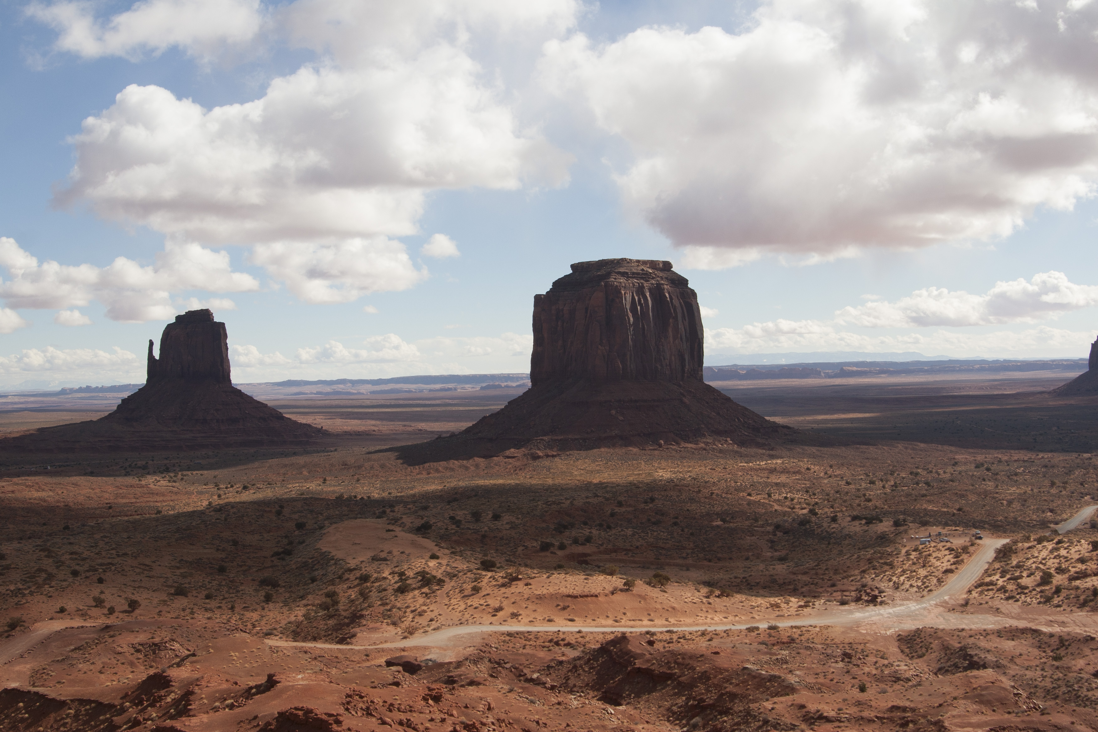
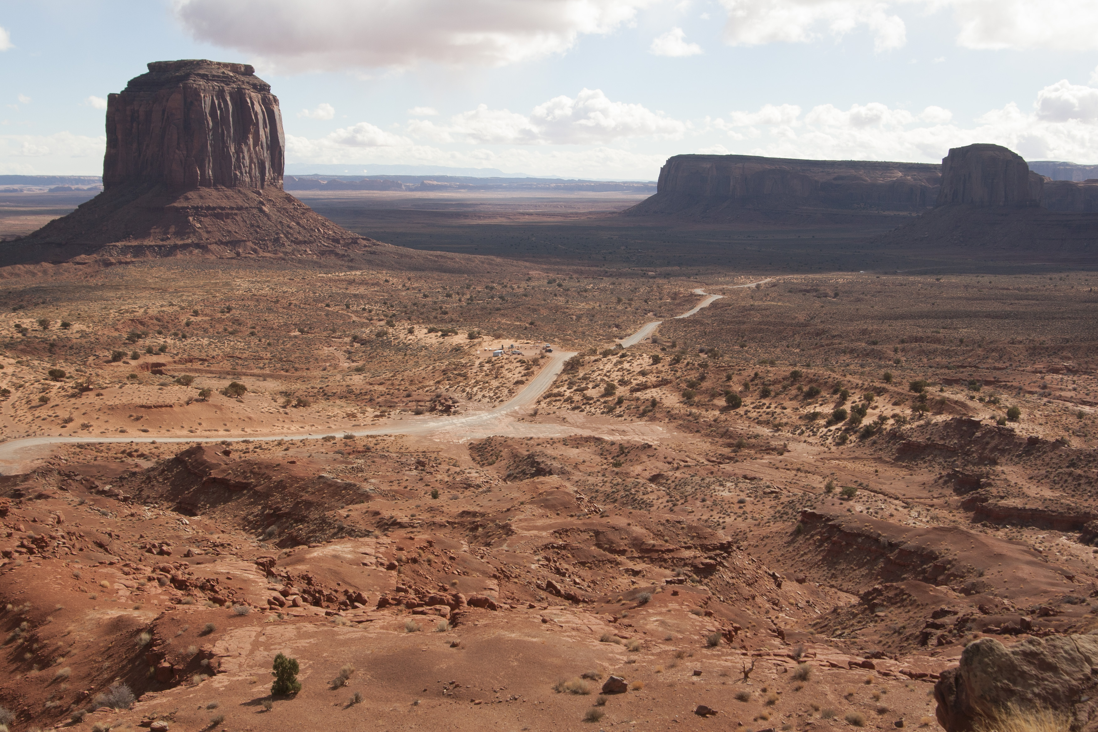
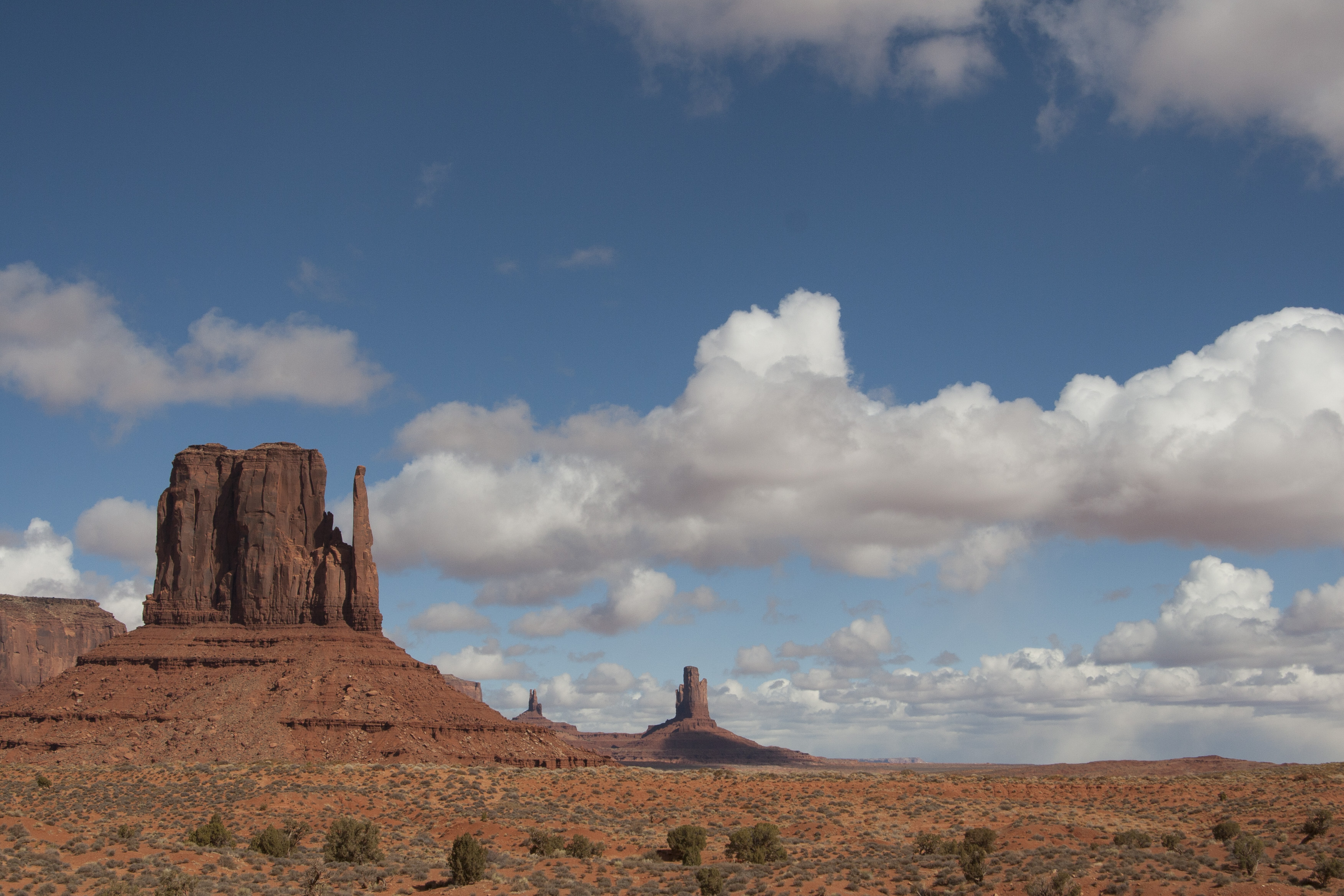
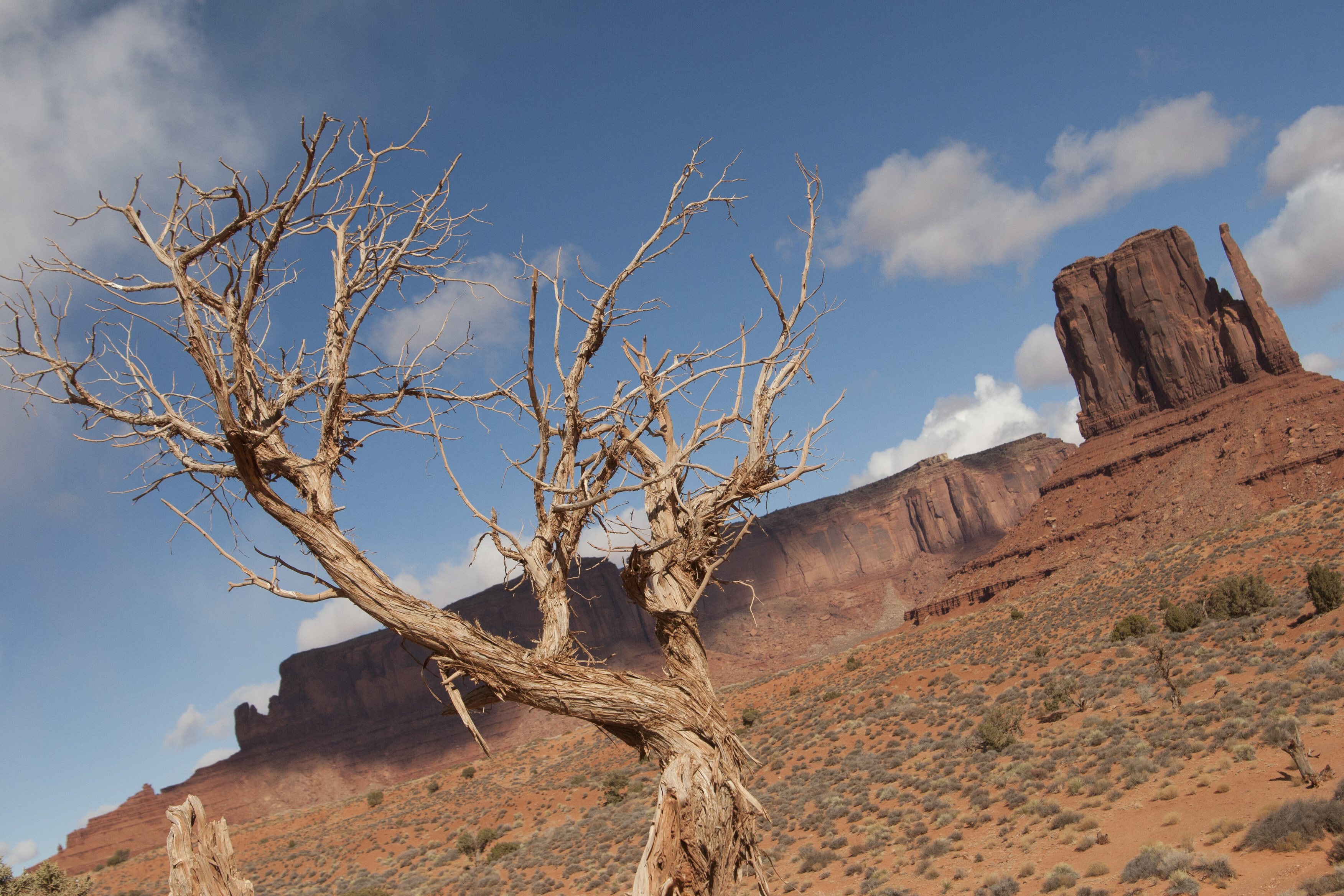
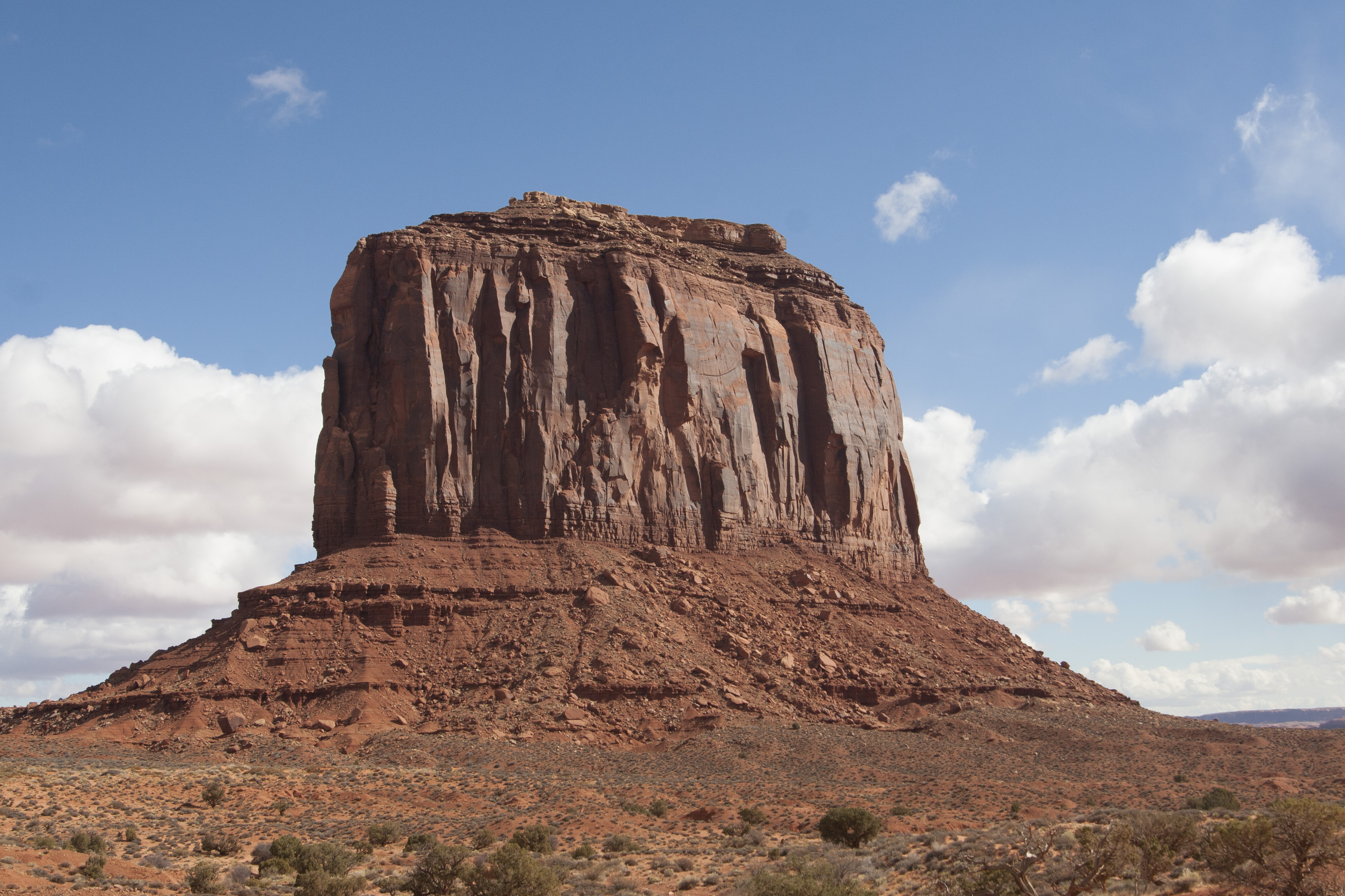
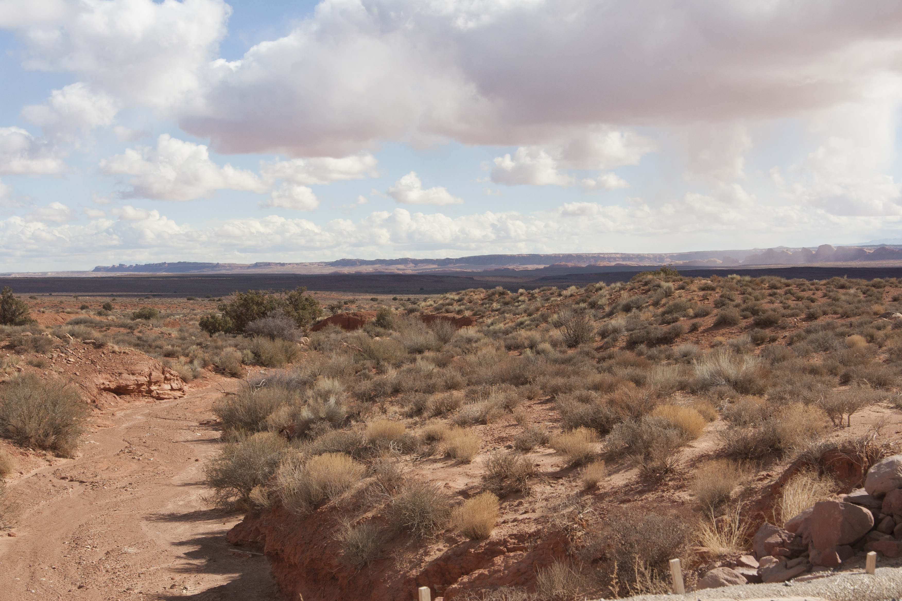
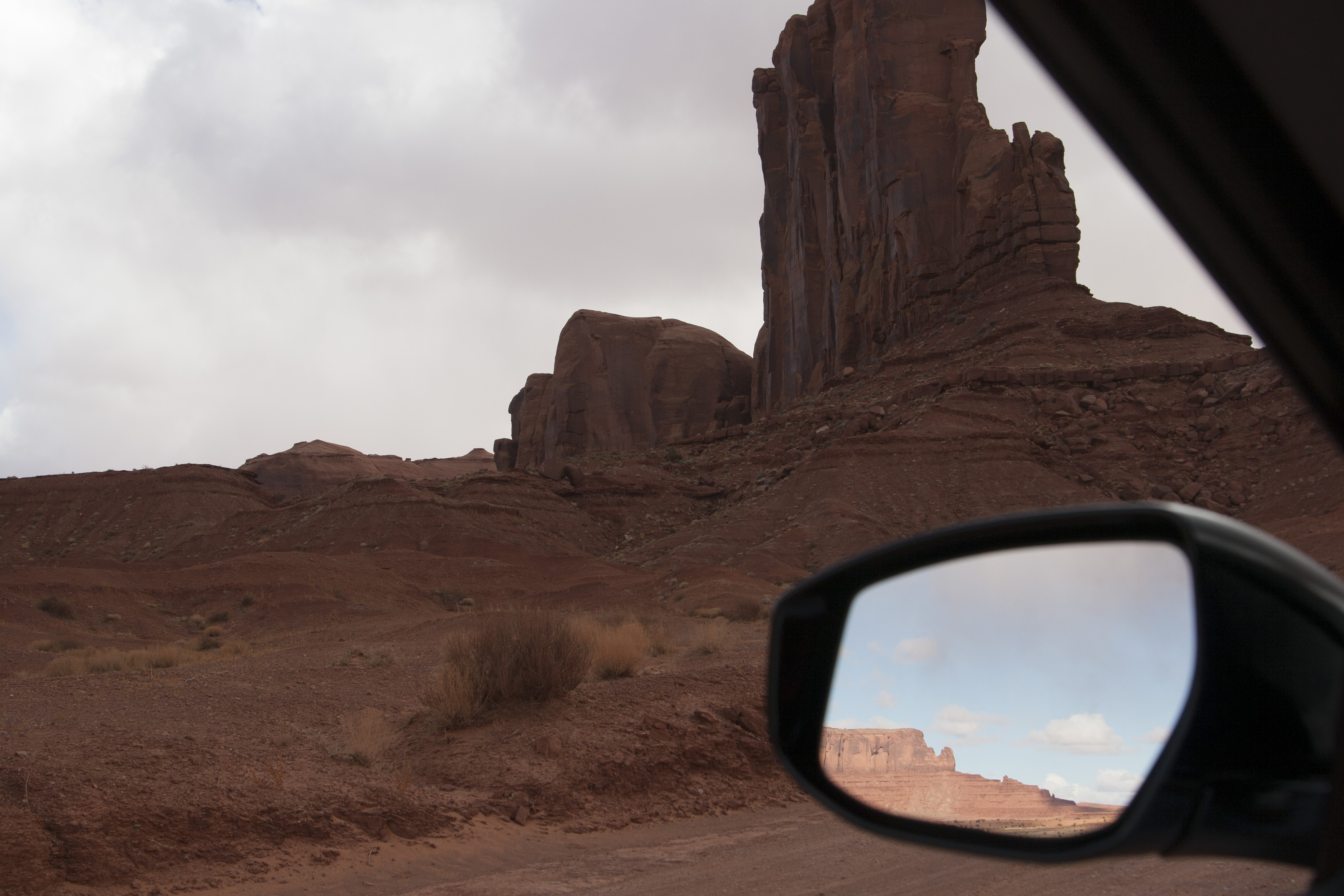
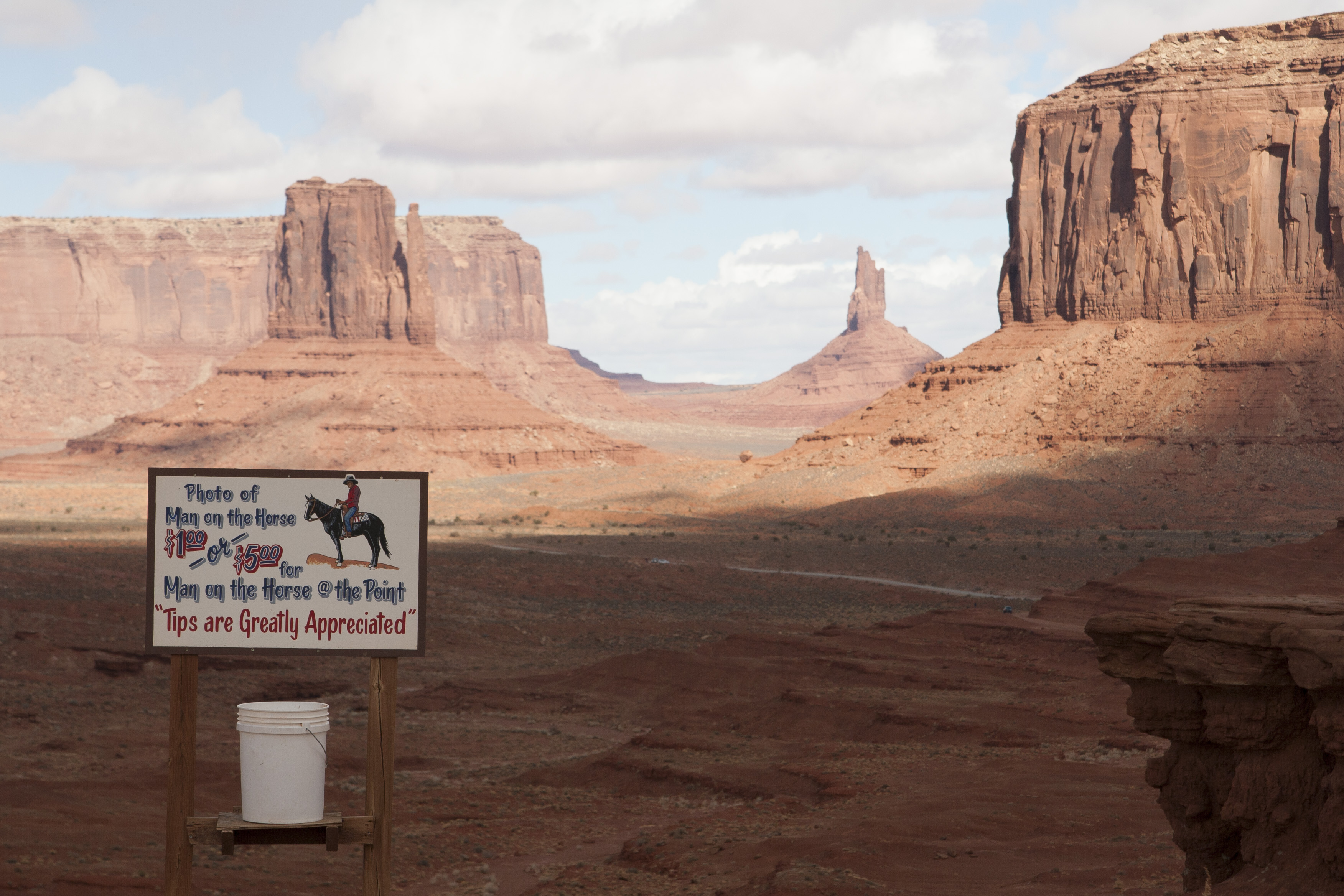
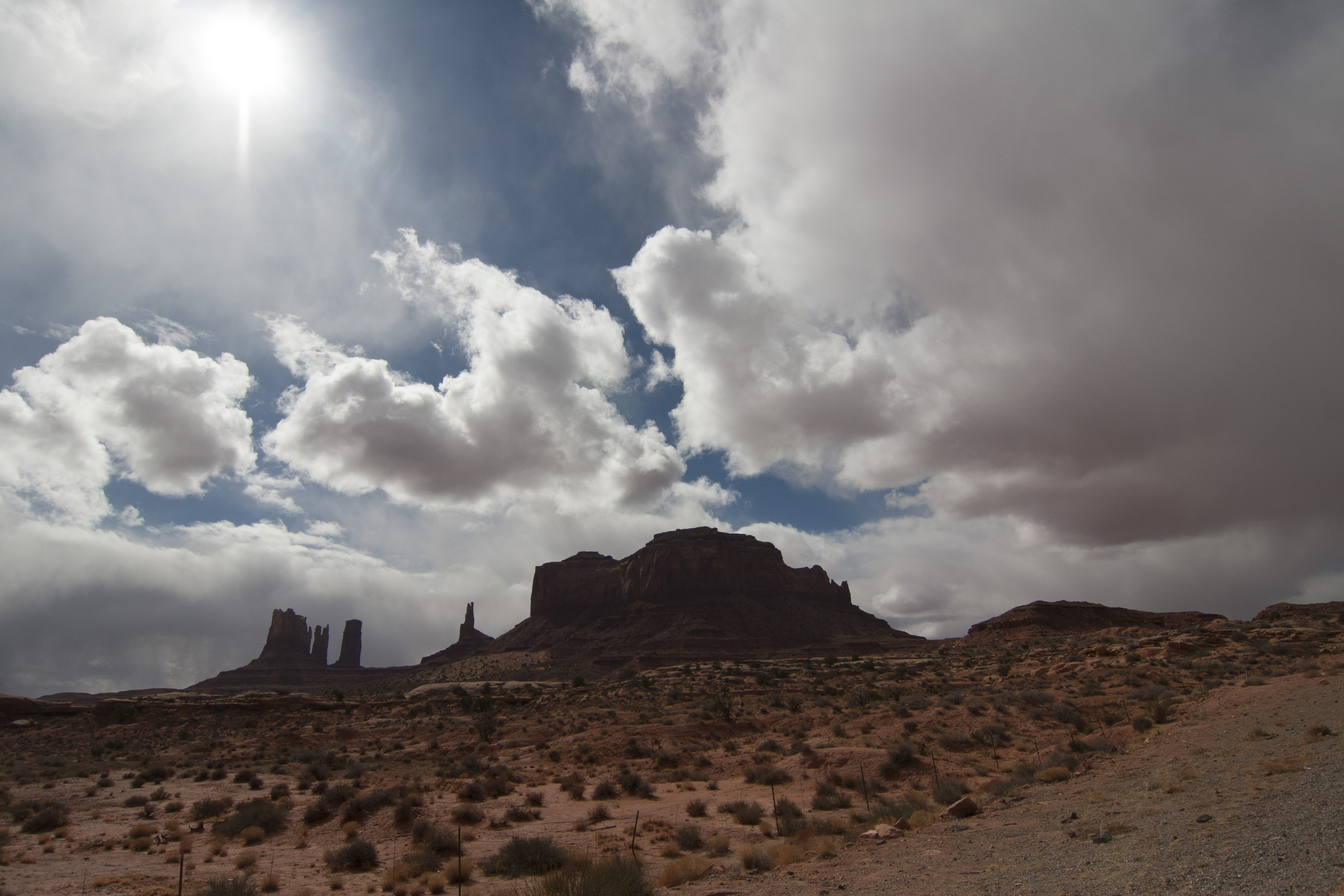
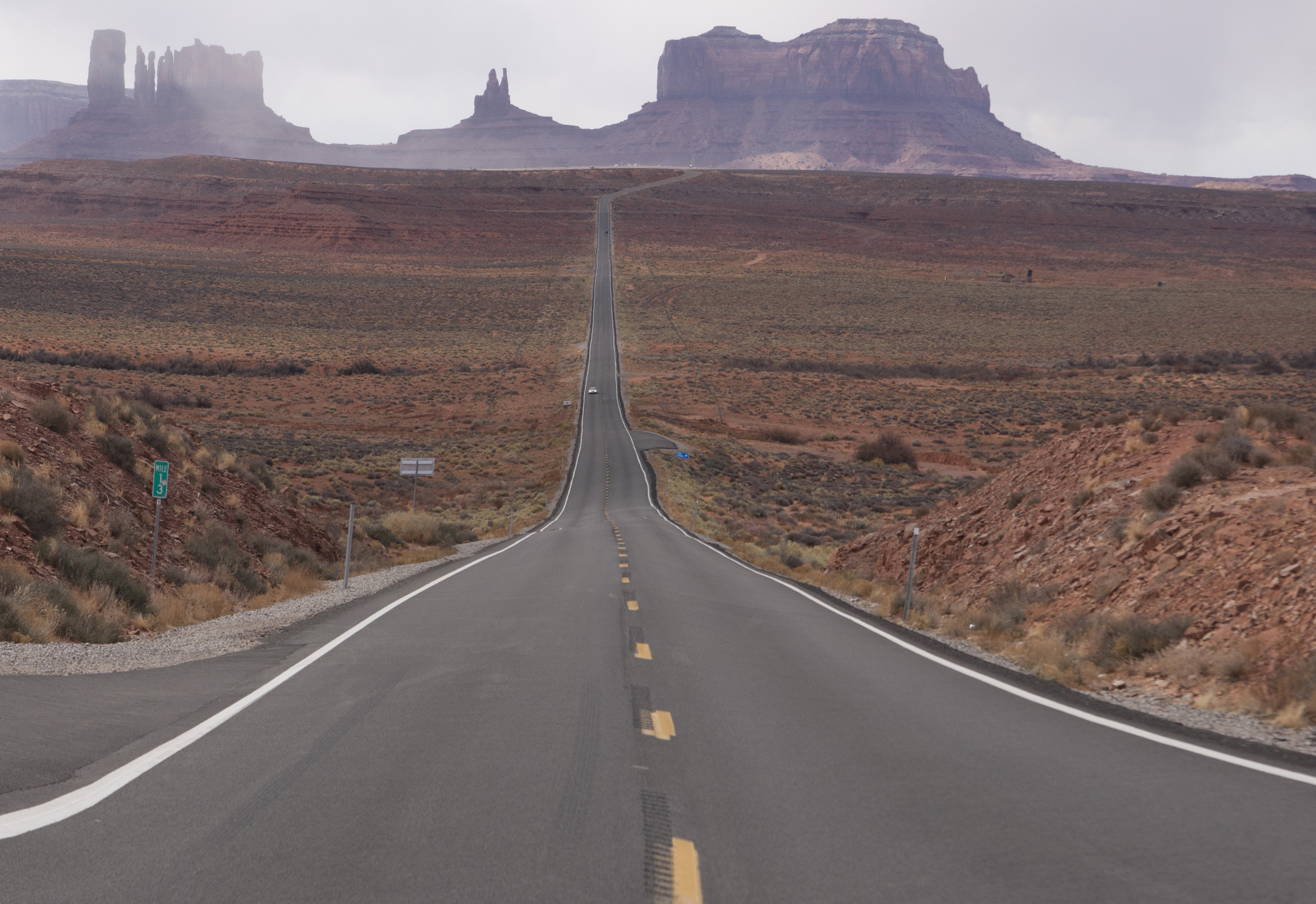
today was a longer driving day than the others, but we hit up a few spots. northern arizona is a pretty spectacular looking place to drive, even if the road is a little monotonous. our first stop was monument valley. you know monument valley! it was REALLY cool and i recommend it to everyone. we drove up to the visitors center and drove into the valley a bit. i hope my entrance fees goes toward the “pave the road” fund.
IMG_3592
IMG_3591
IMG_3589
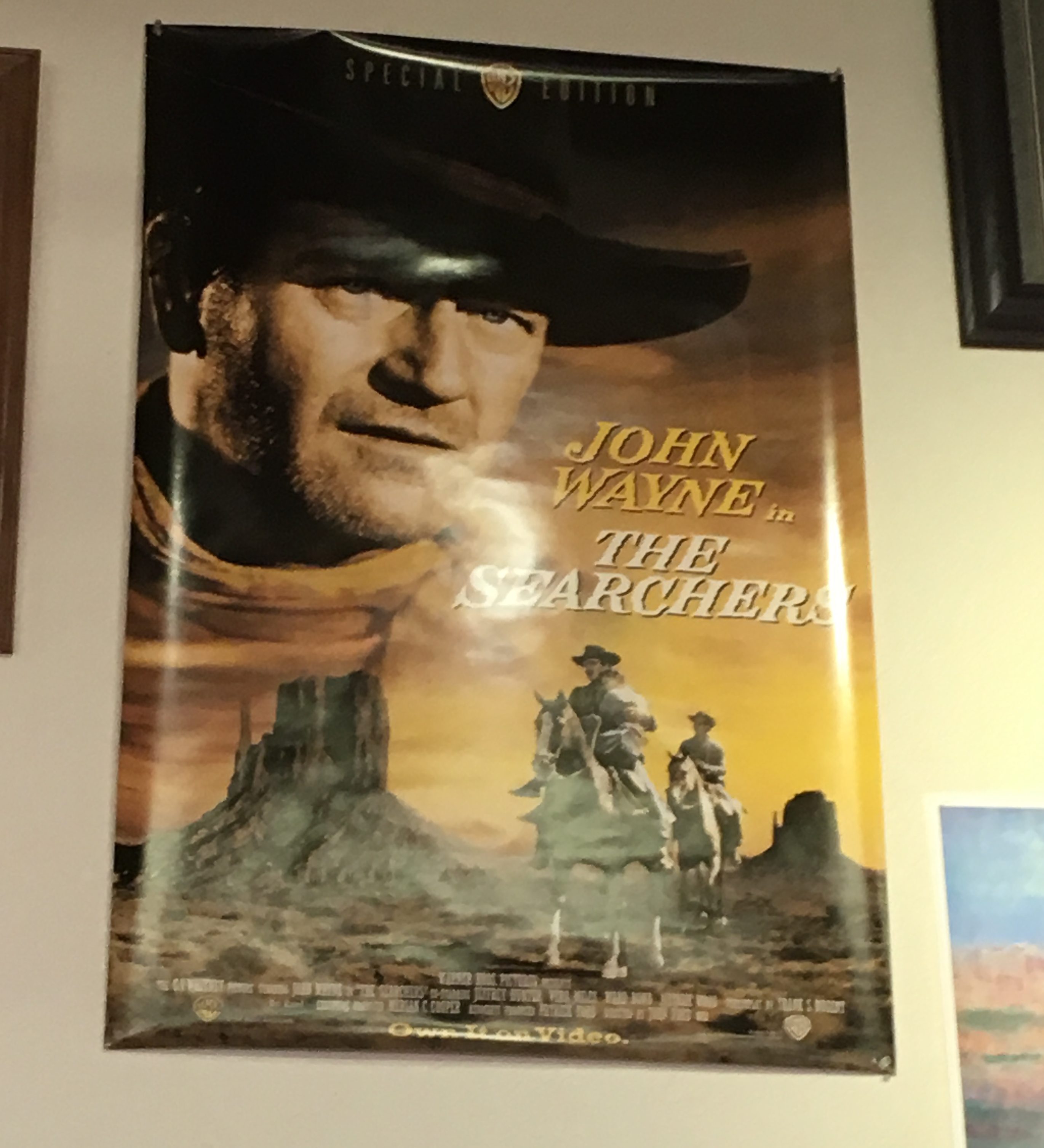
you may know monument valley from john ford/john wayne collaborative movies such as “the searchers.”
monvalley14 monvalley20 monvalley21 monvalley22 monvalley24 monvalley26 monvalley29 monvalley32 monvalley36 monvalley37 monvalley41  monvalley47
pano monvalley50
i called my dad while we were driving though, and he called me a snotnose!
monvalley63
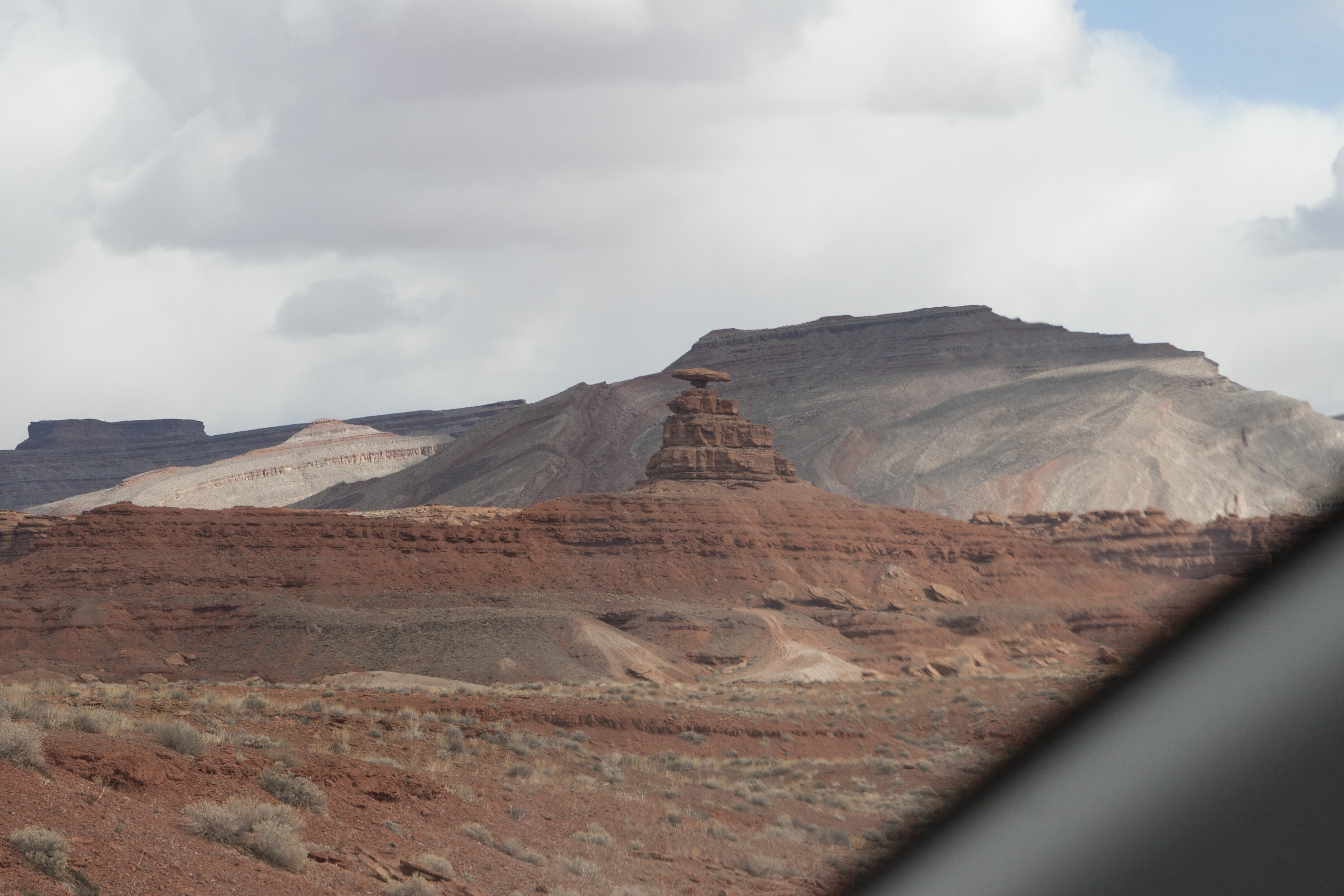
then we hitched it across the bottom of utah through towns like mexican hat. (and hat rock.)
monvalley68
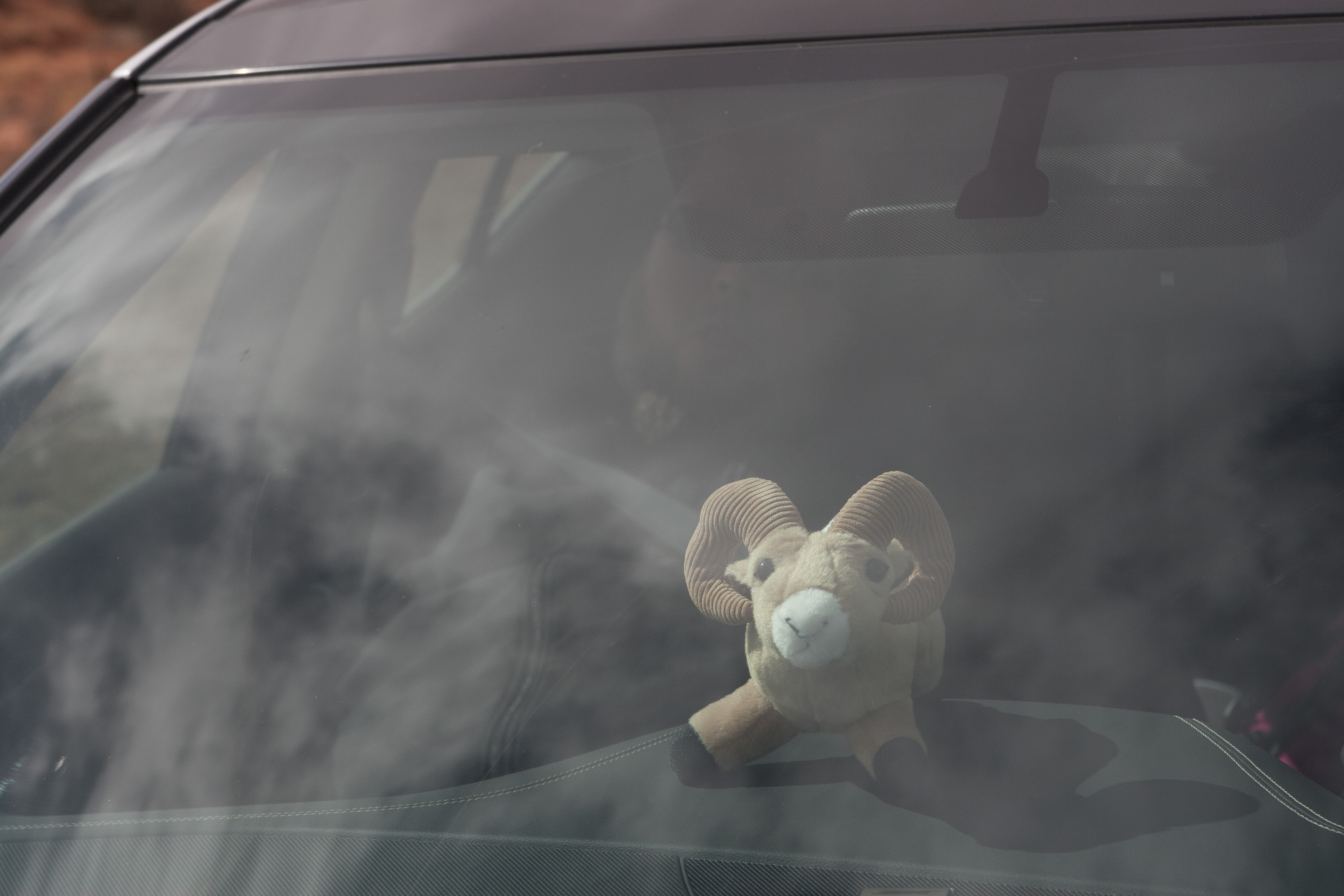
nate got a stuffed goat that became our driving mascot.
monvalley60
we drove the trail of the ancients to cortez, which went through the valley of the gods, some other great rock formations, and general geological wonderments.
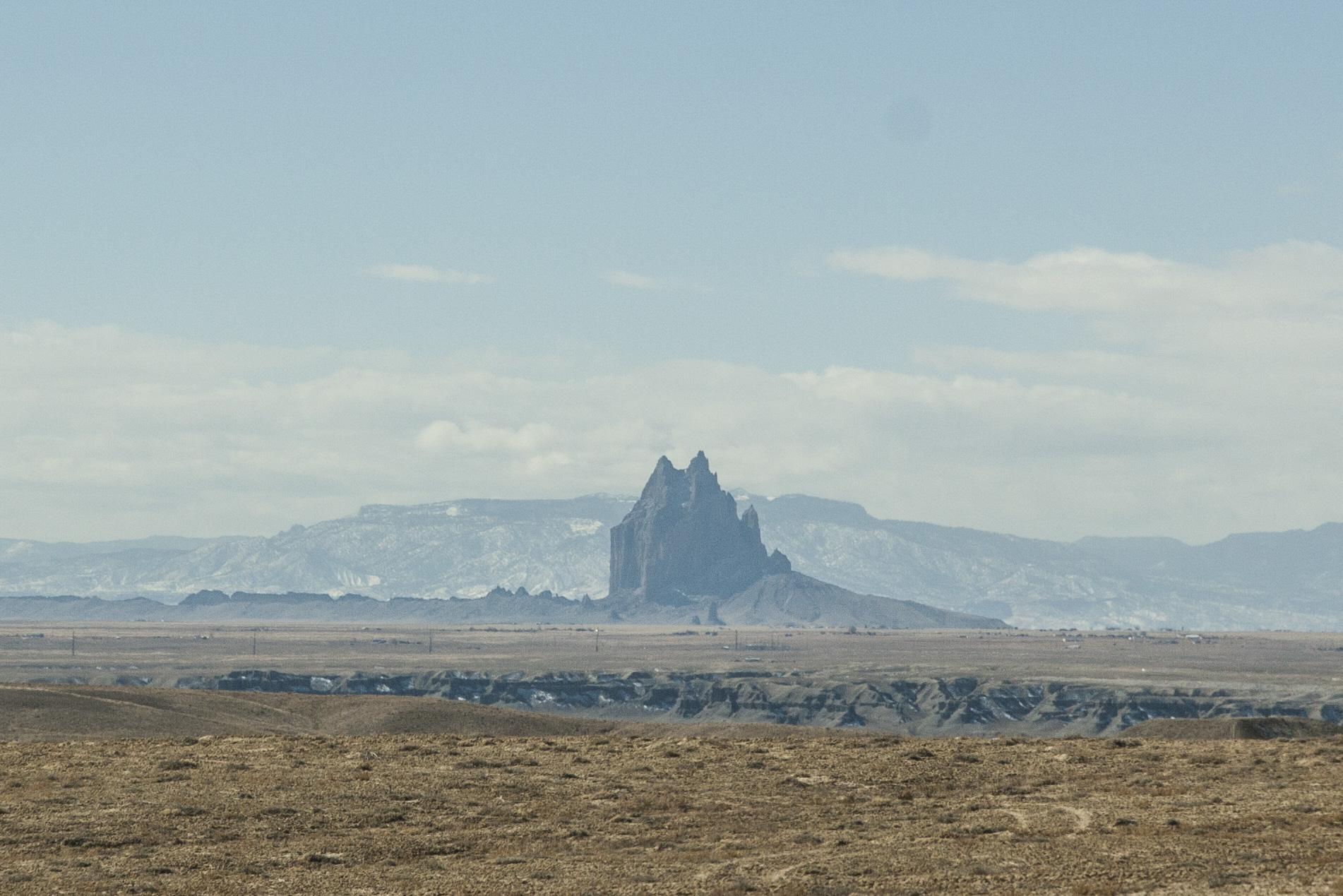
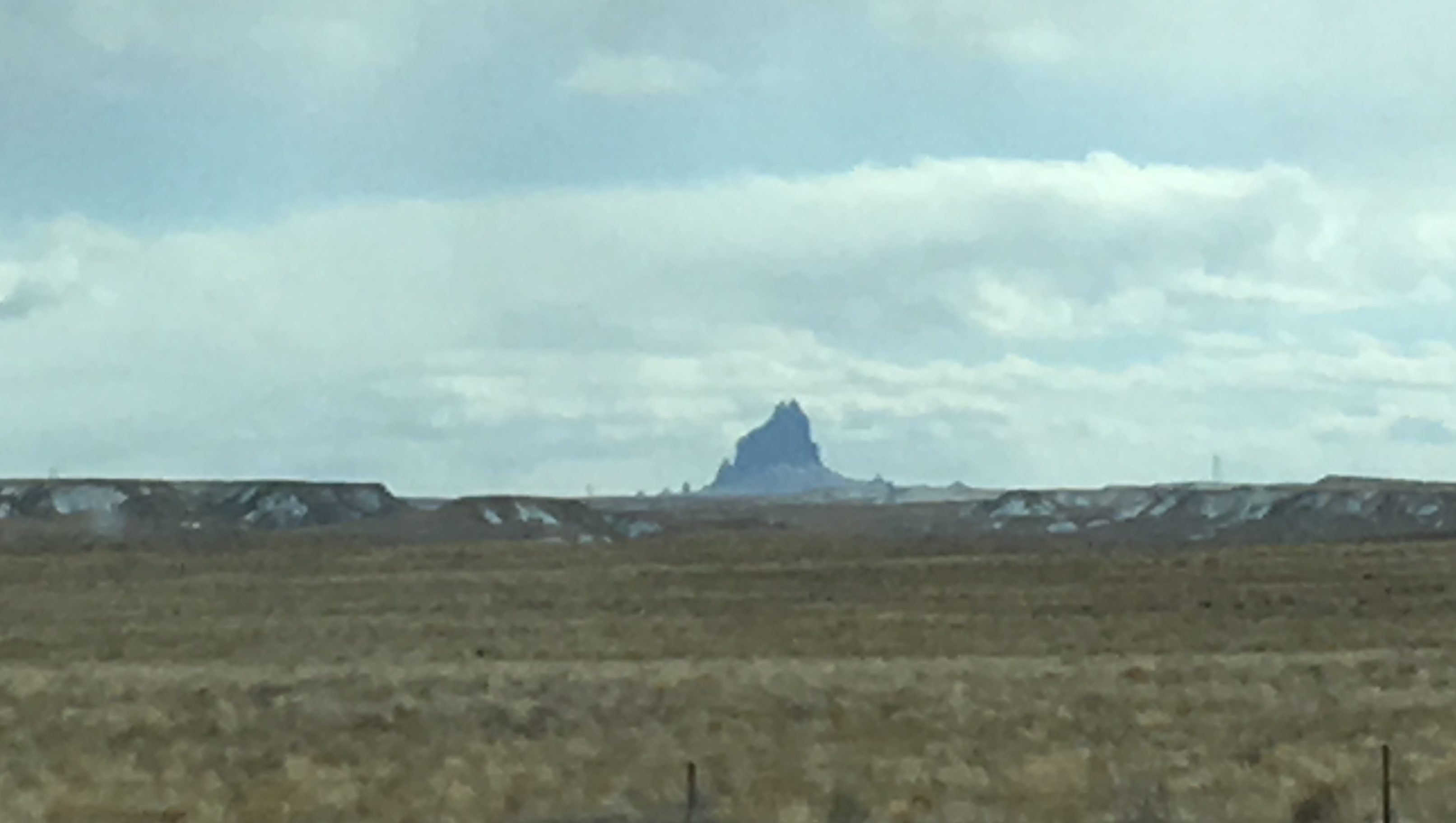
as we drove closer to cortez and into colorado, i saw this giant rock thing – kind of like devil’s tower but way more sinister looking. it’s shiprock! we’ll drive past it tomorrow.
IMG_3611
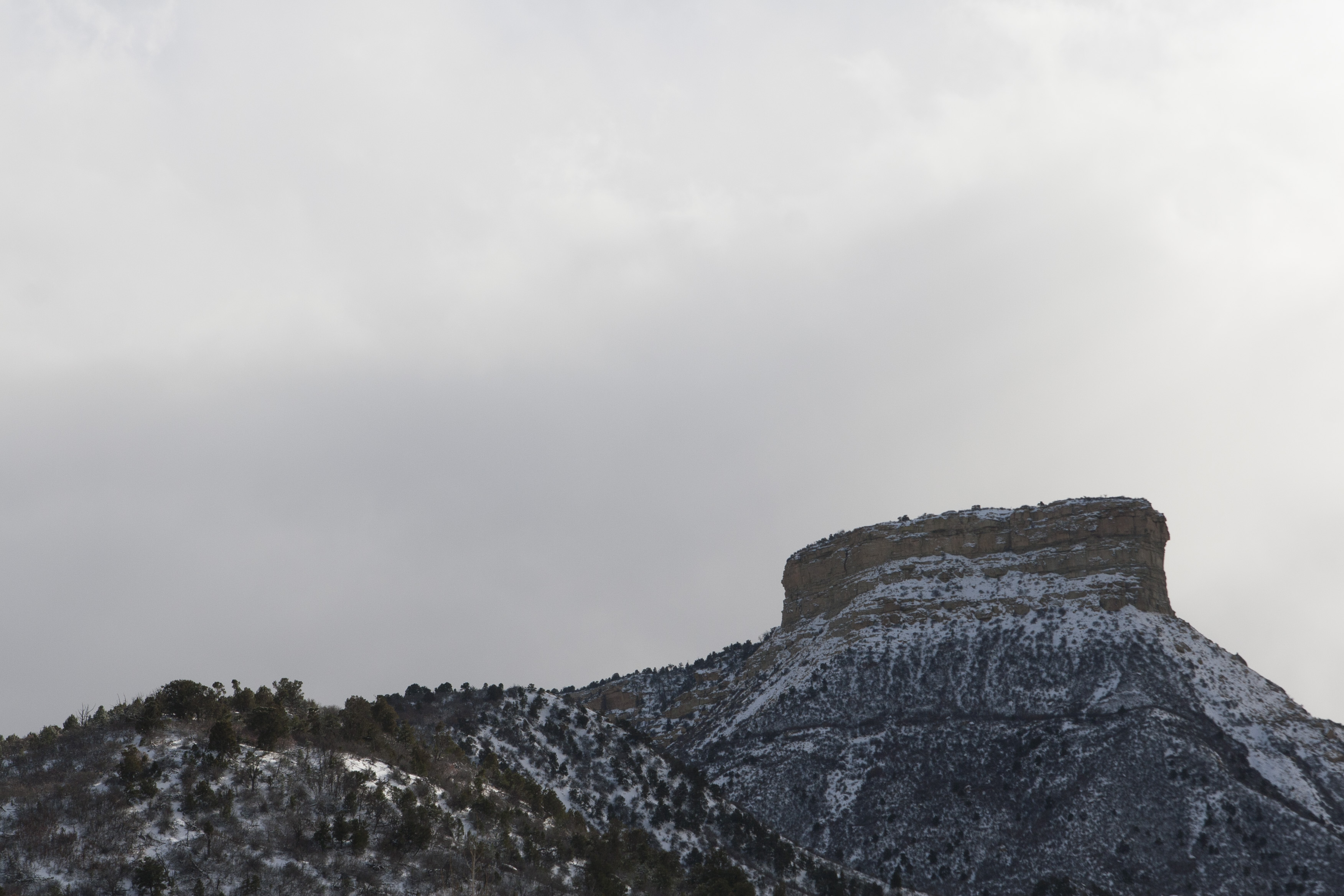
then came the big disappointment of the day. the reason nate and i drove to cortez was to see mesa verde. i have wanted to see mesa verde for a long time – since i was a teenager. so after eating lunch and checking in, we headed out there. and because of the super high winds and minimal snow yesterday, the roads were closed unless you had a 4 wheel drive or all wheel drive vehicle. i hoped for a “minnesota driver” exception, but no such luck. all that way to visit the visitors center and that was it 🙁
i did get a pic of the “table” (mesa).
monvalley71
tomorrow before we leave i’m going to call and see if the roads are open. i got the direct number, so here’s hoping the roads are clear and the tour’s quick.
tomorrow is back to phoenix and the last travel day – it’s a big one. 6.5 hours of driving to get back to phoenix. but we’re driving through new mexico, so that makes this a 4-state trip and adds two states to my repertoire!