Browsed by
Tag: photoblog

mn state parks: heading home from the NE corner

mn state parks: heading home from the NE corner

day three of this jaunt was always going to be a bear. i knew that going in, and even without counting for the 2-hour mine tour. i needed to get from the tip of NE mn to st. cloud – and pick up 5 parks along the way. turns out it wasn’t horrible, and it only took us 12 hours to get back to central mn!

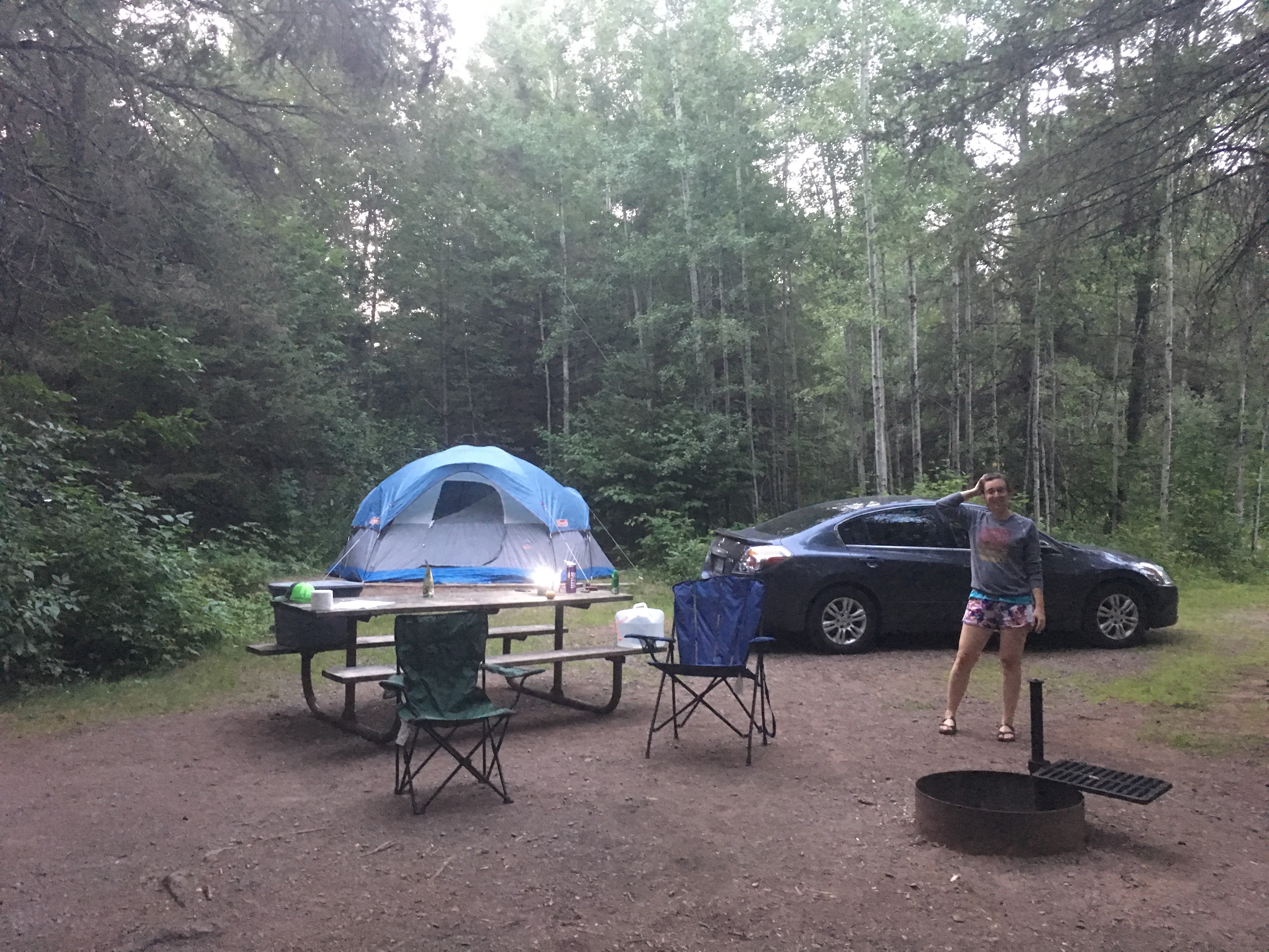
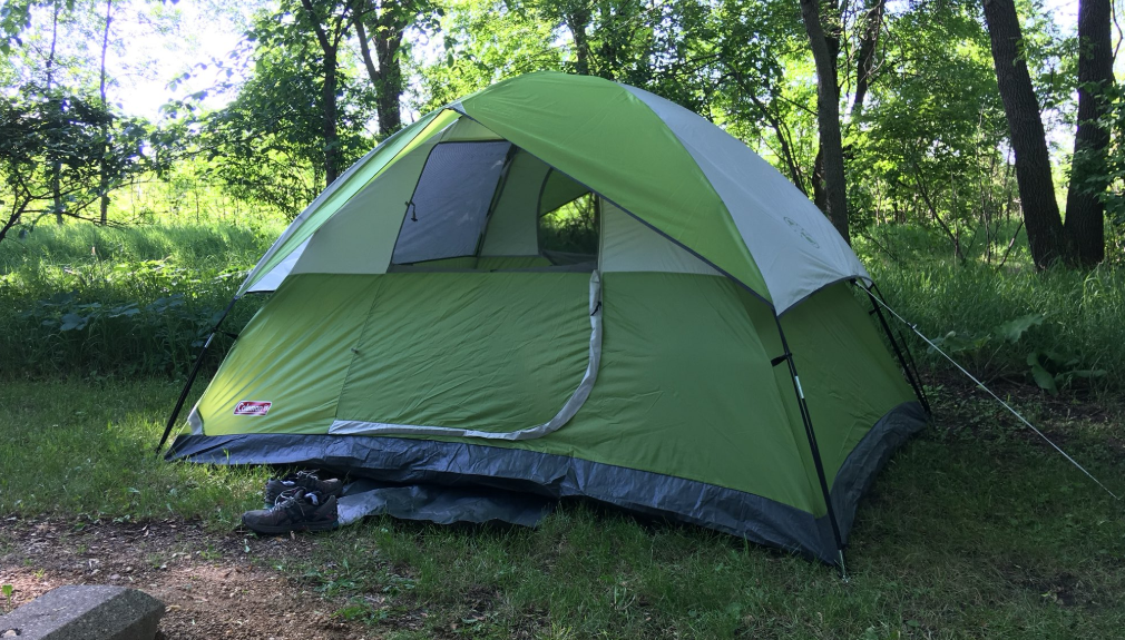
no lollygagging that morning before breaking camp; we reheated leftover breakfast burrito/taco stuff and ate it quickly and using minimal stuff to wash. (i ate my taco over the dirt, which was good when it started dripping chorizo juice.)

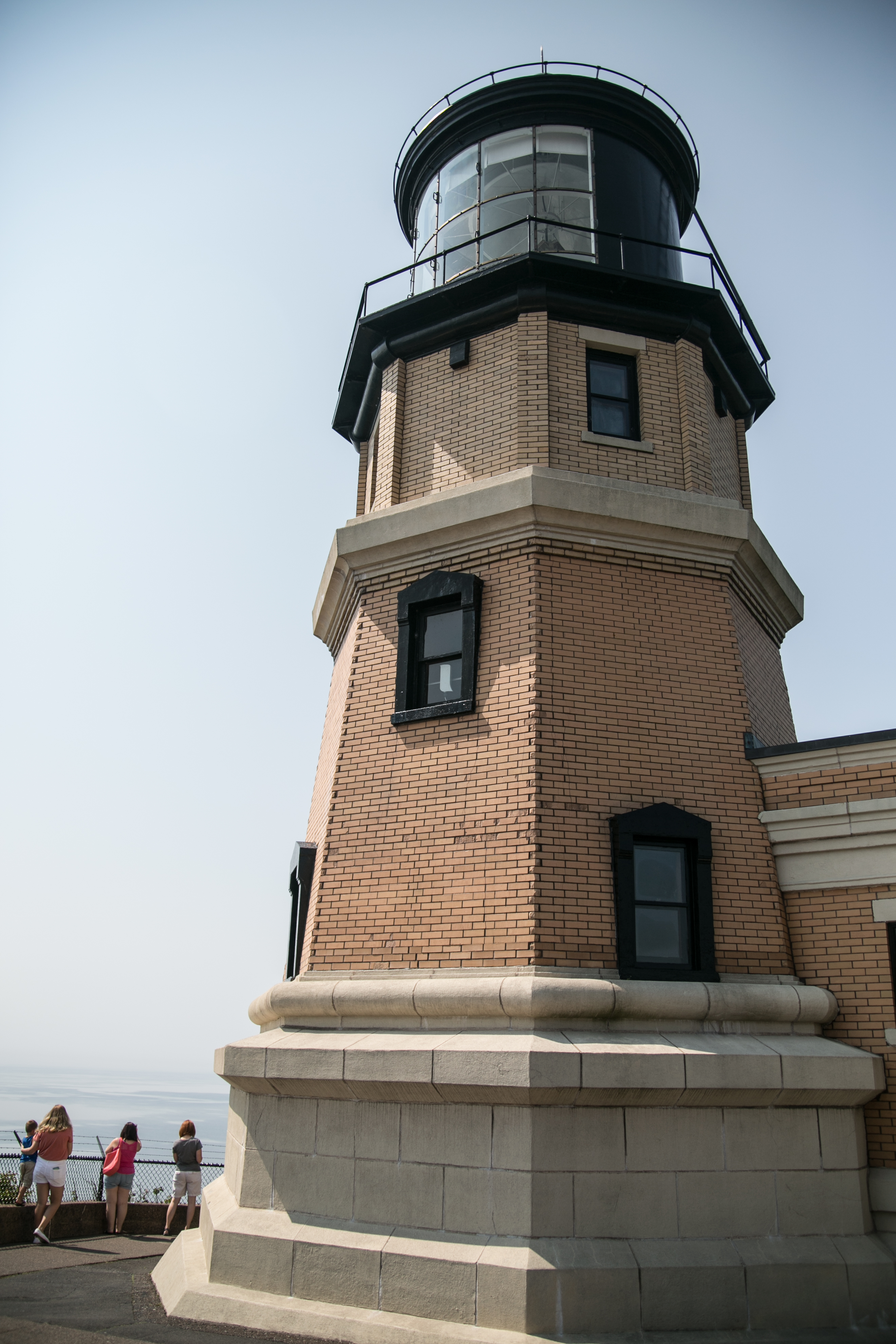
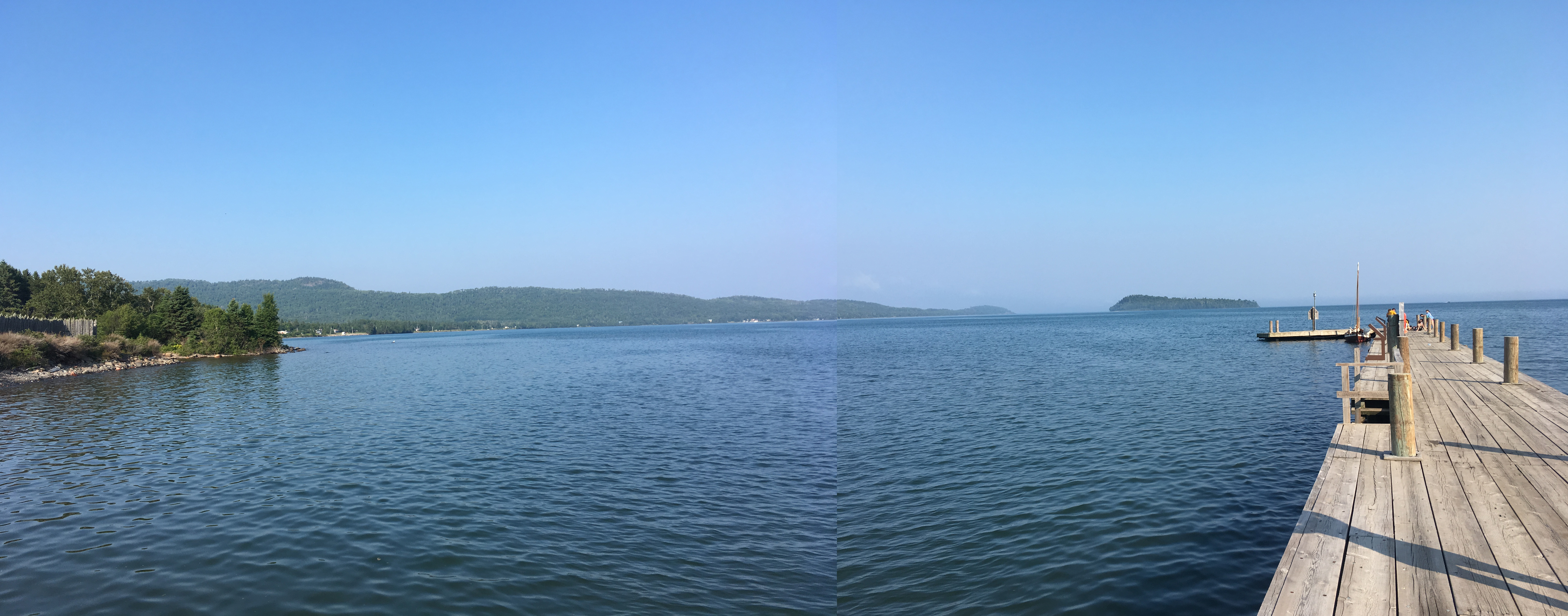
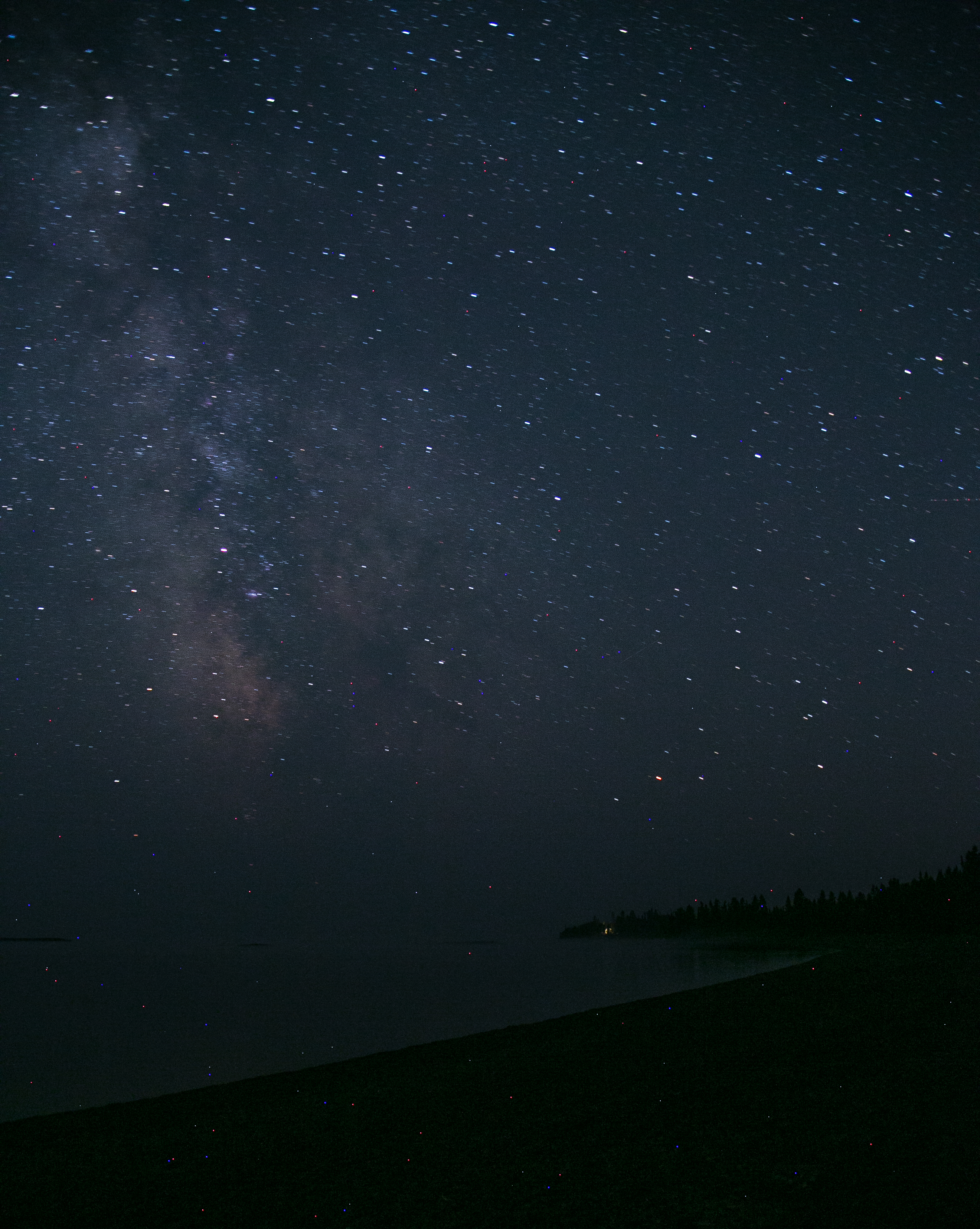
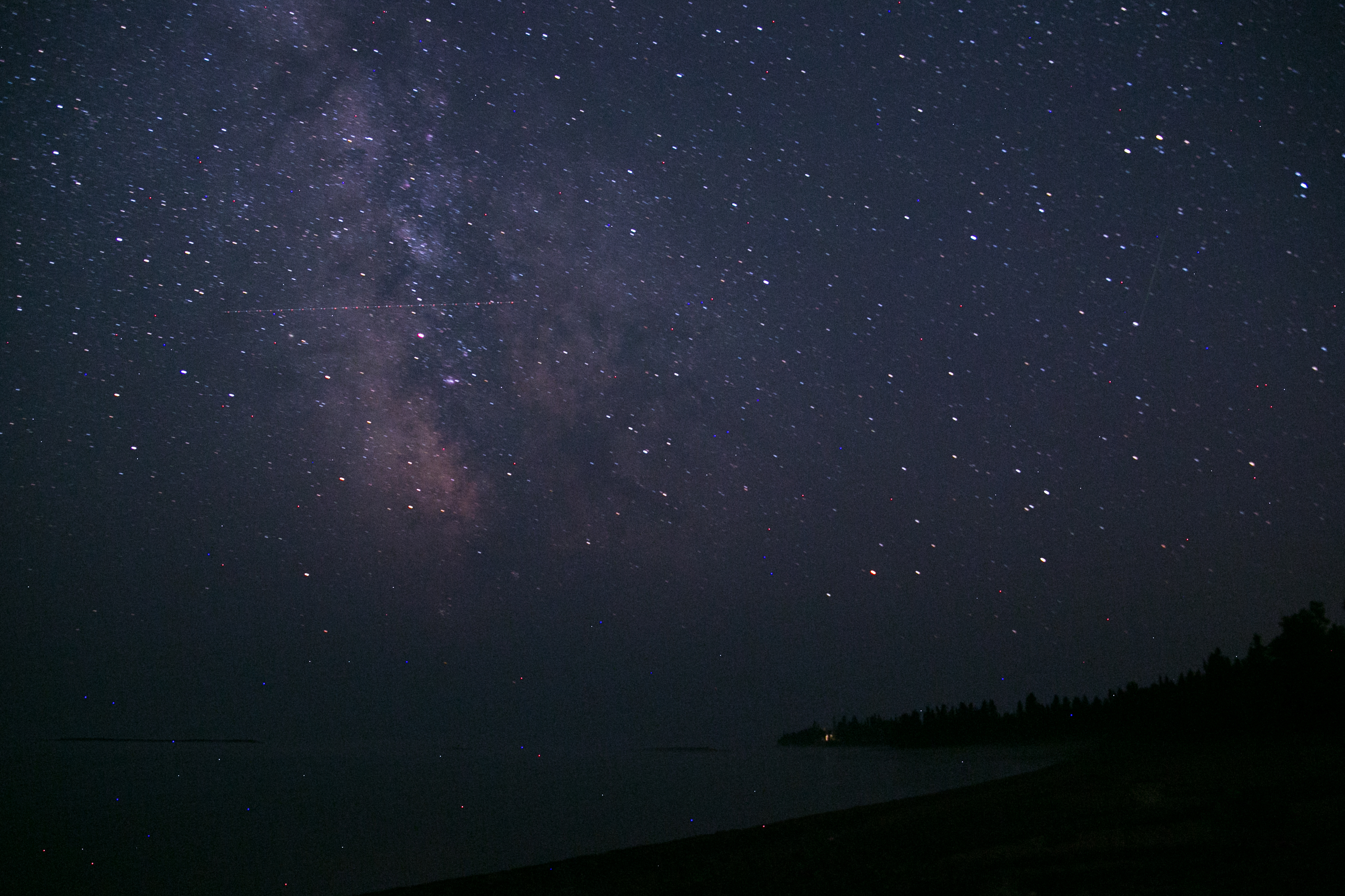
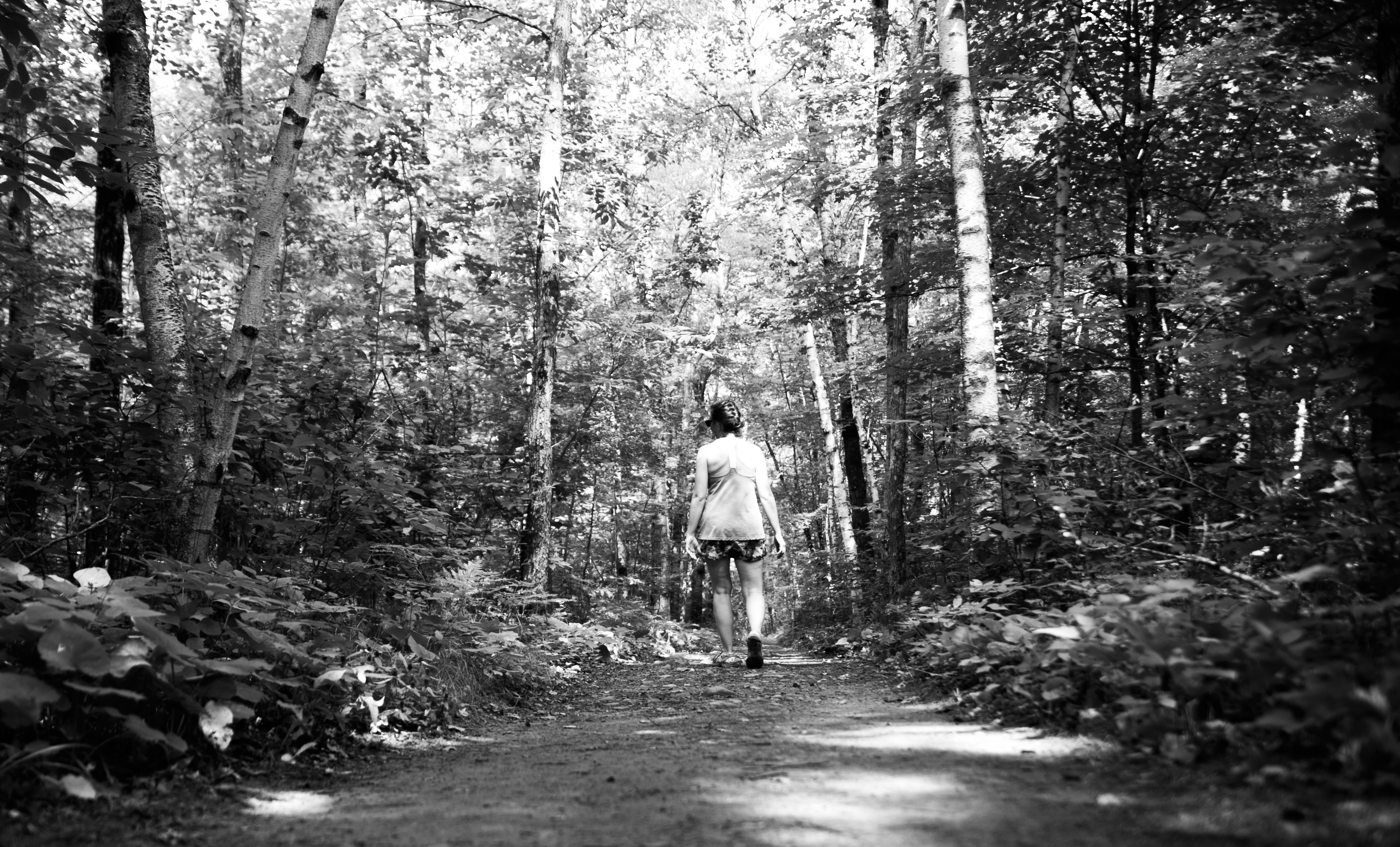
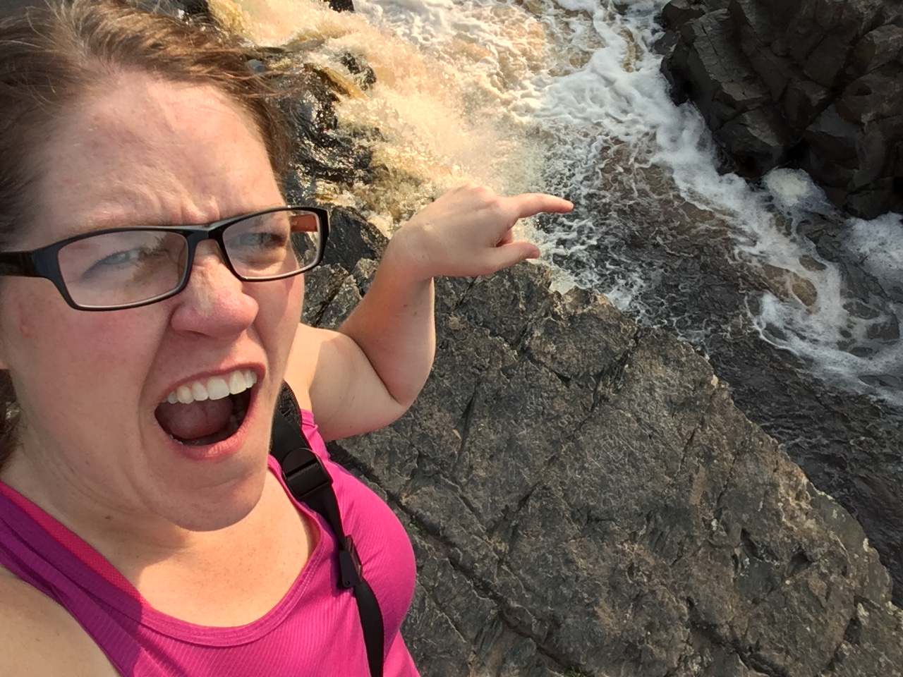
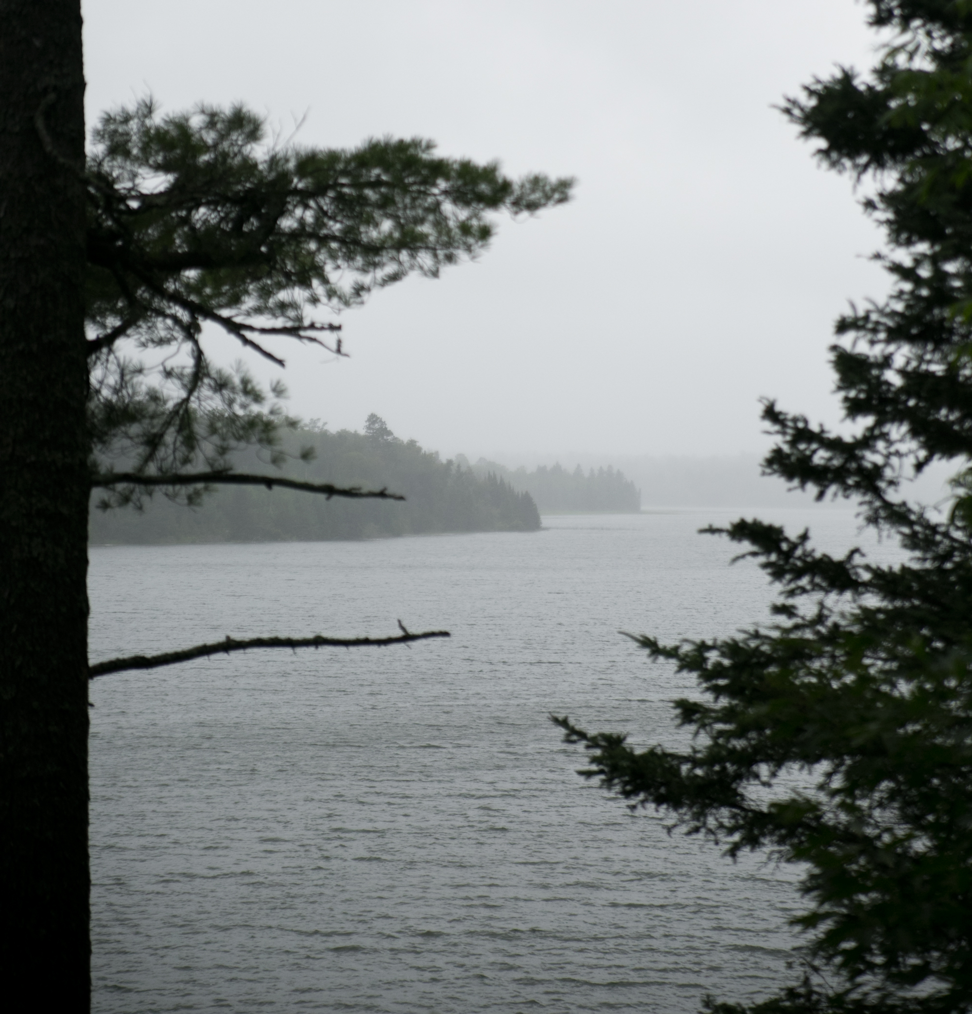
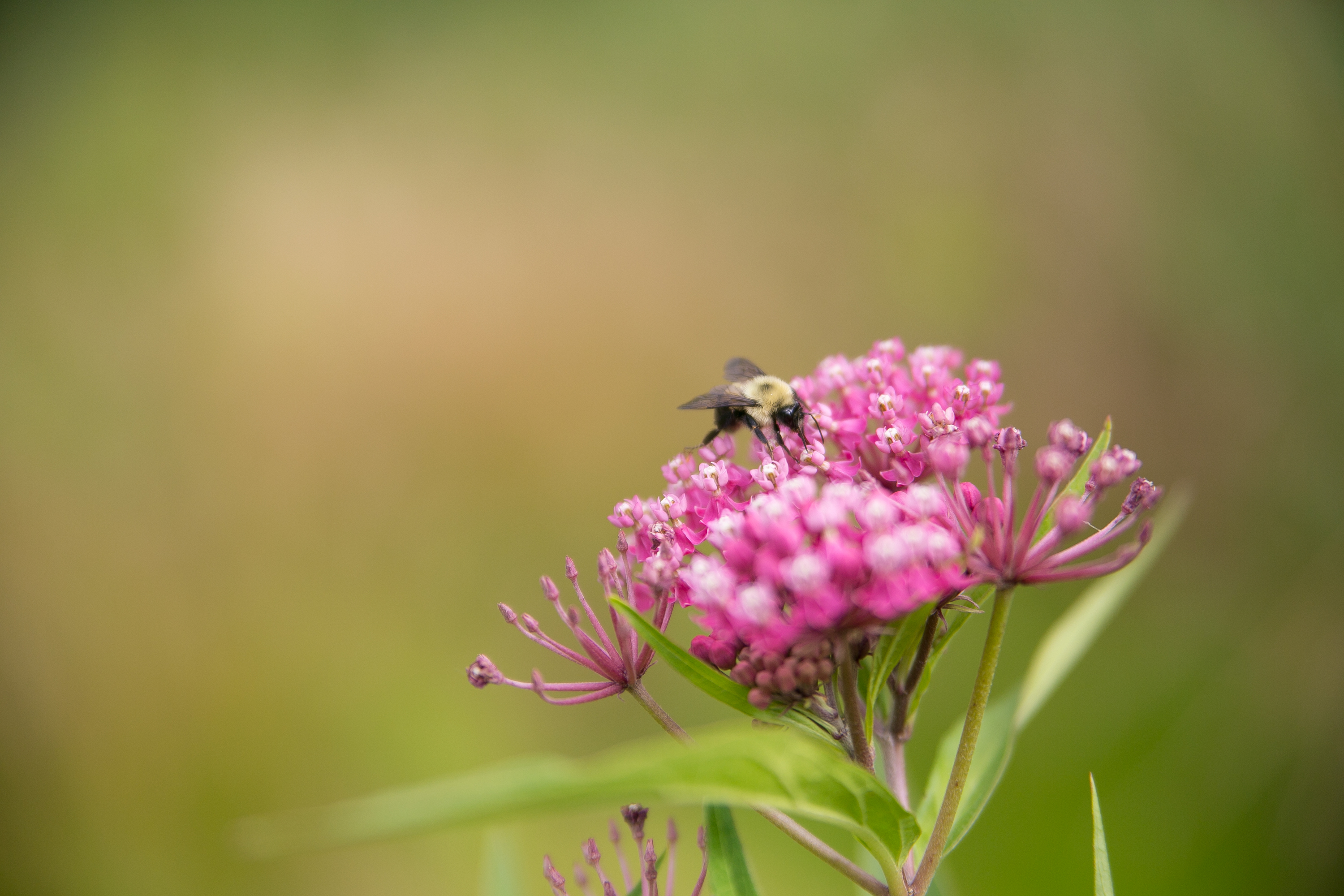
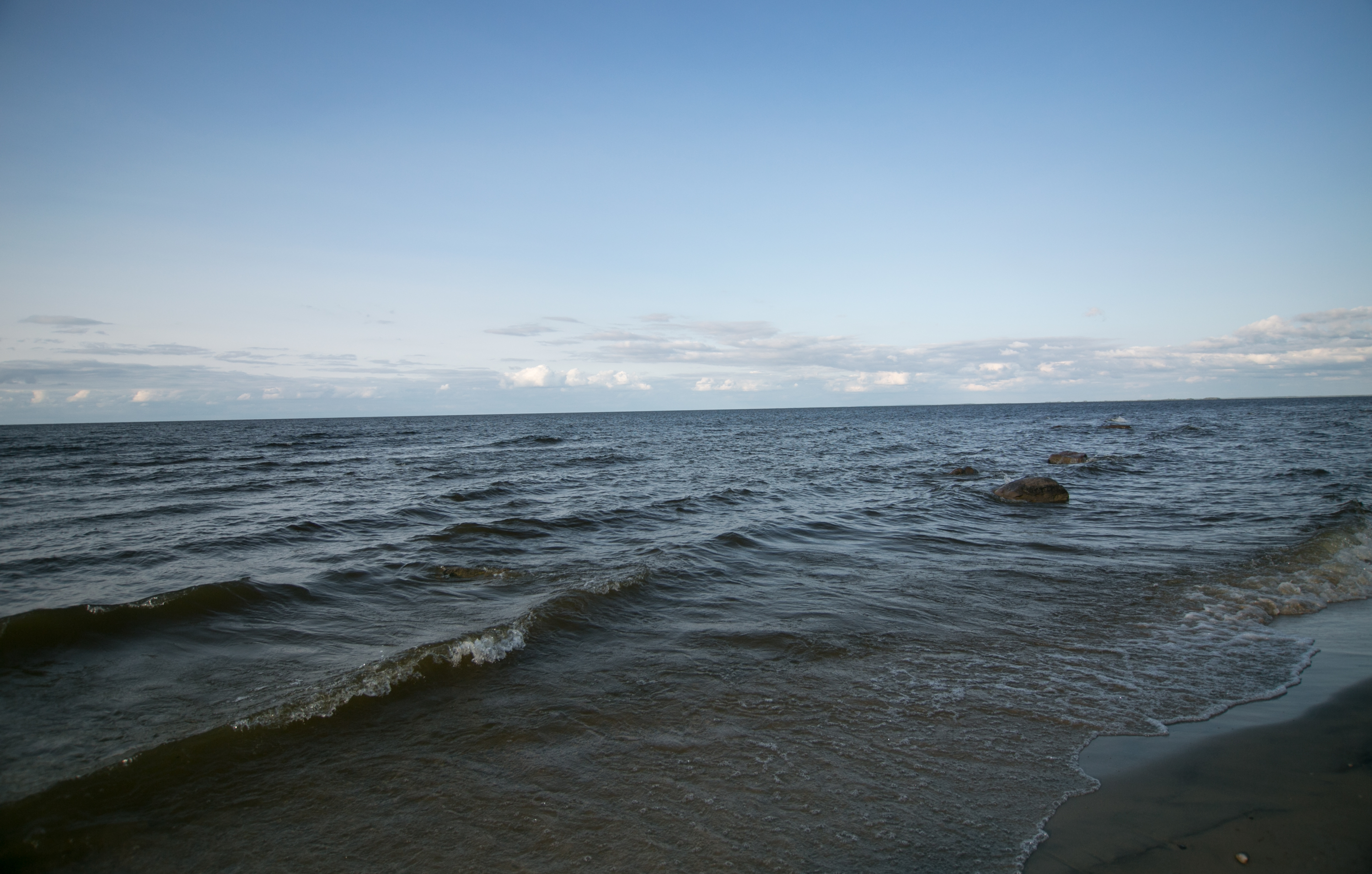
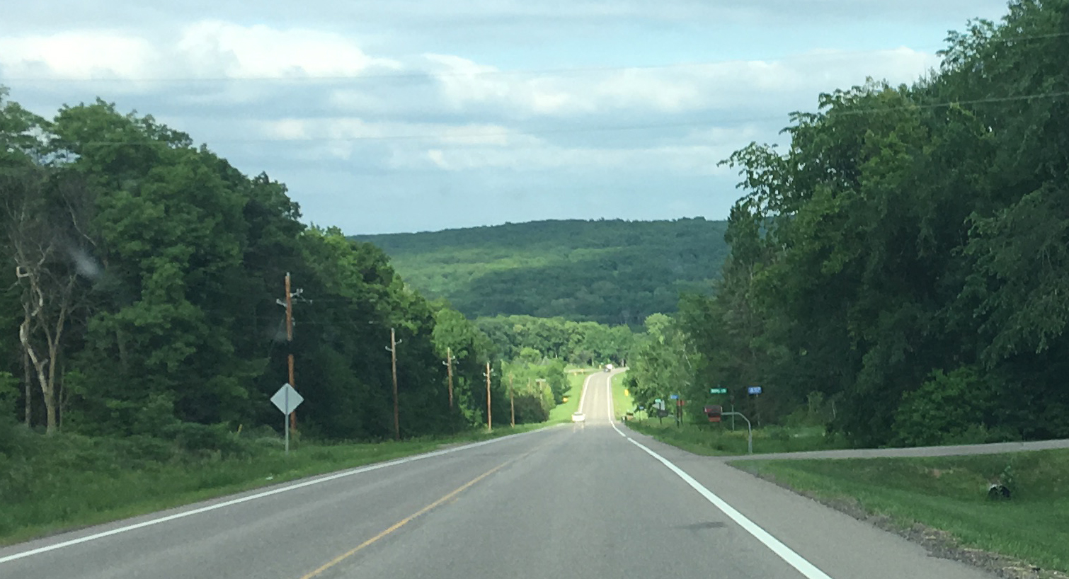
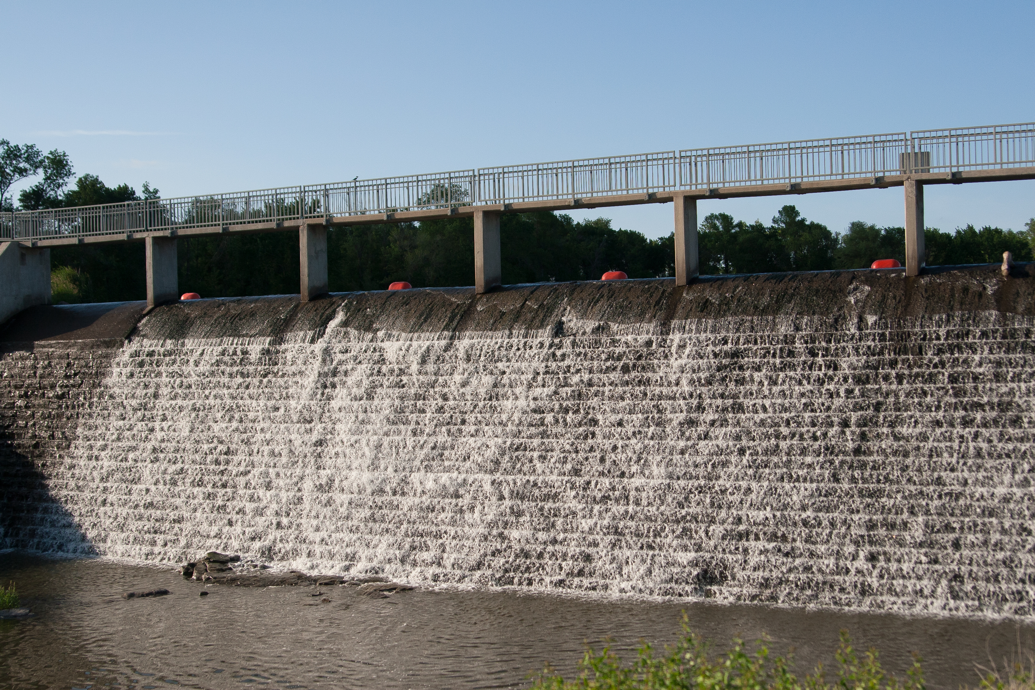
we broke camp and got out of there a little after 8 a.m. and headed back down the coast. i told lori to stop for this shot or else i’d regret it.

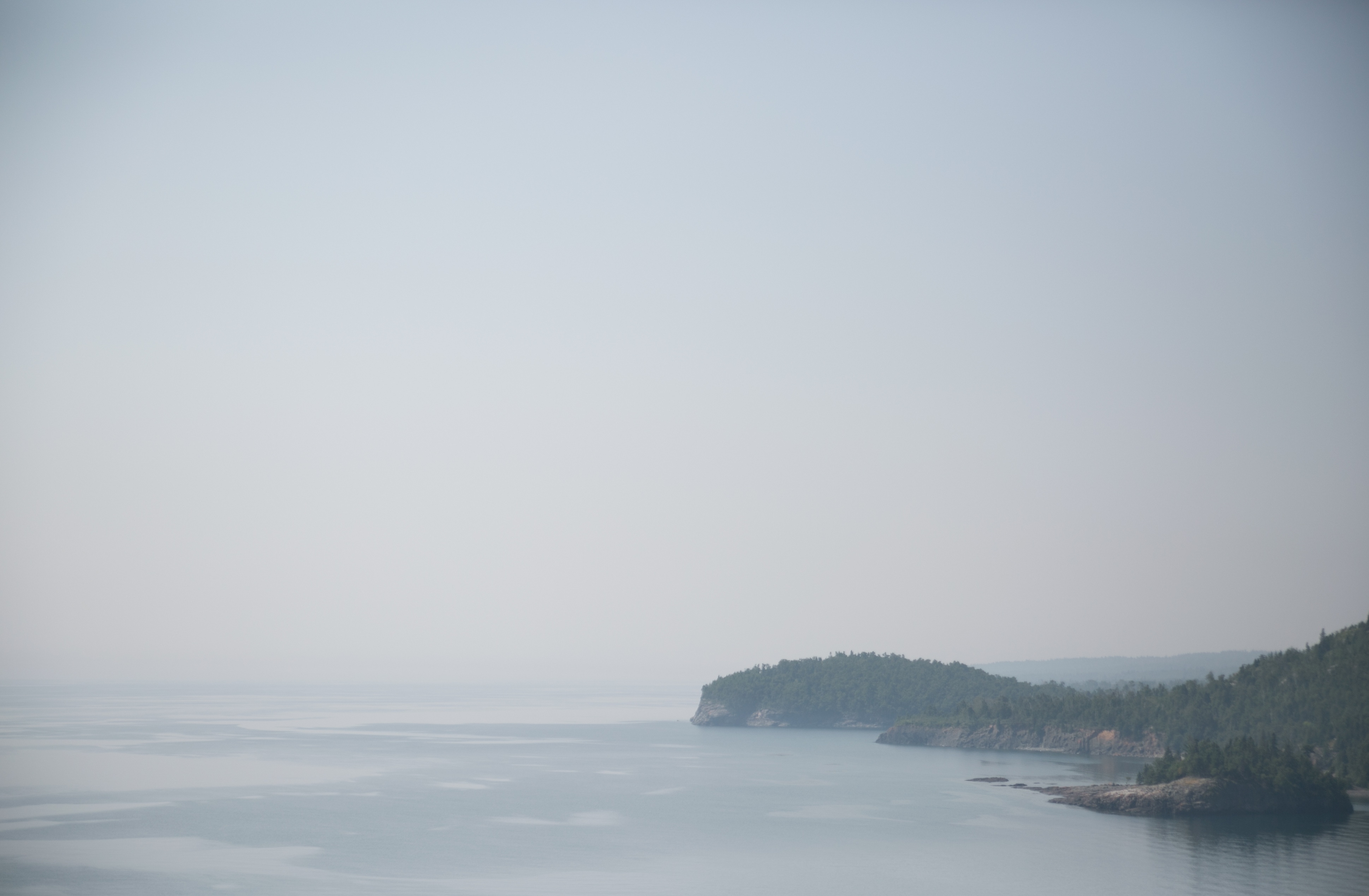
i also wanted desparately to stop in grand marais and get the fog over the marina, but i spared us the cluster of driving in that area and kept the thought to myself.

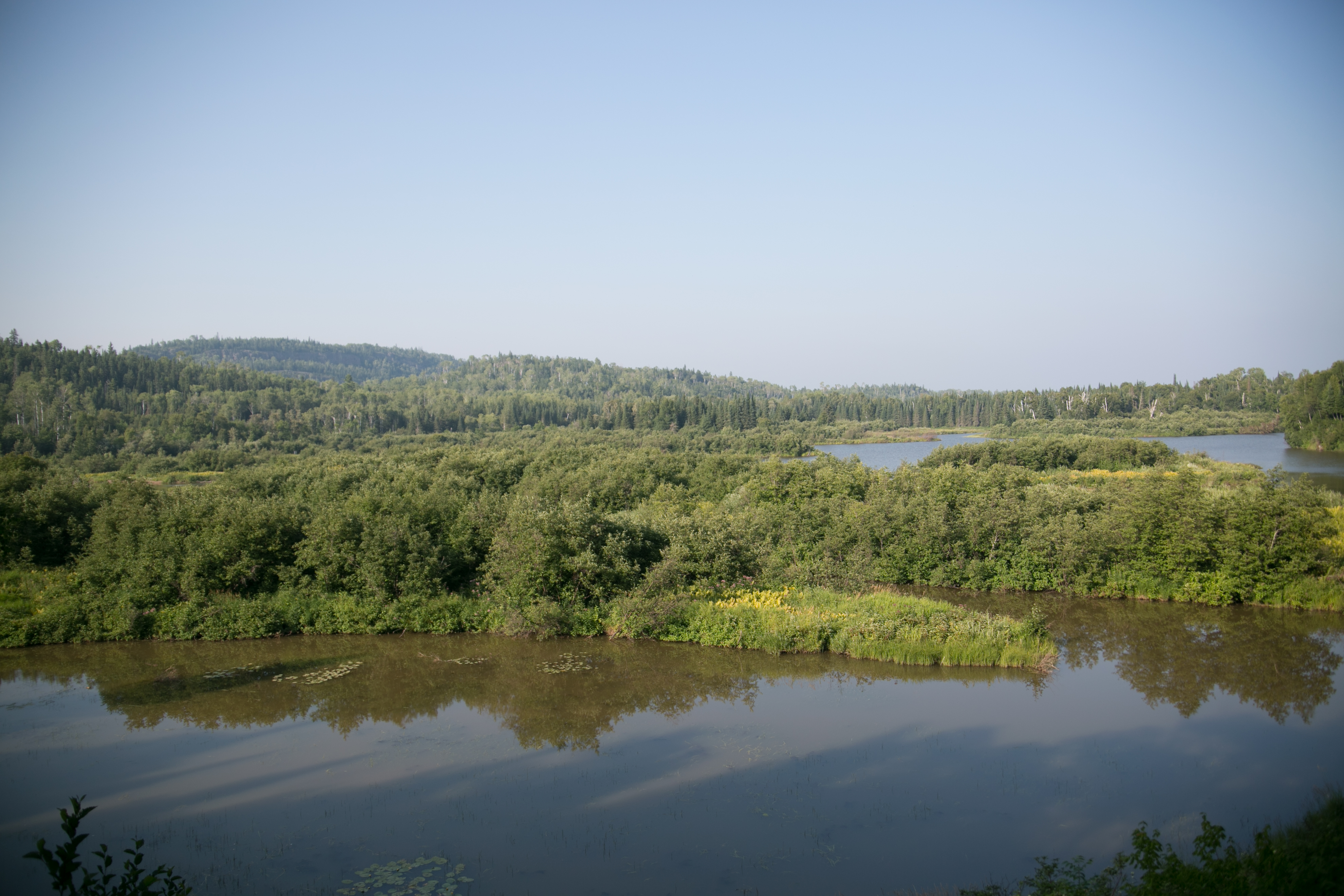
we stopped in tofte again to fill up the gas tank and then headed up hwy 1 toward ely. time for MOOSE WATCH. it was morning and we were driving through some boggy areas. i was hoping to see some moose flinging its head up out of a marsh, but no such luck.

drove through ely looking for pasties (the food), but had the same sort of luck as moose watch. we did find a frozen pasty at the local grocer, but we didn’t’ have a microwave. instead we snacked at our first park.

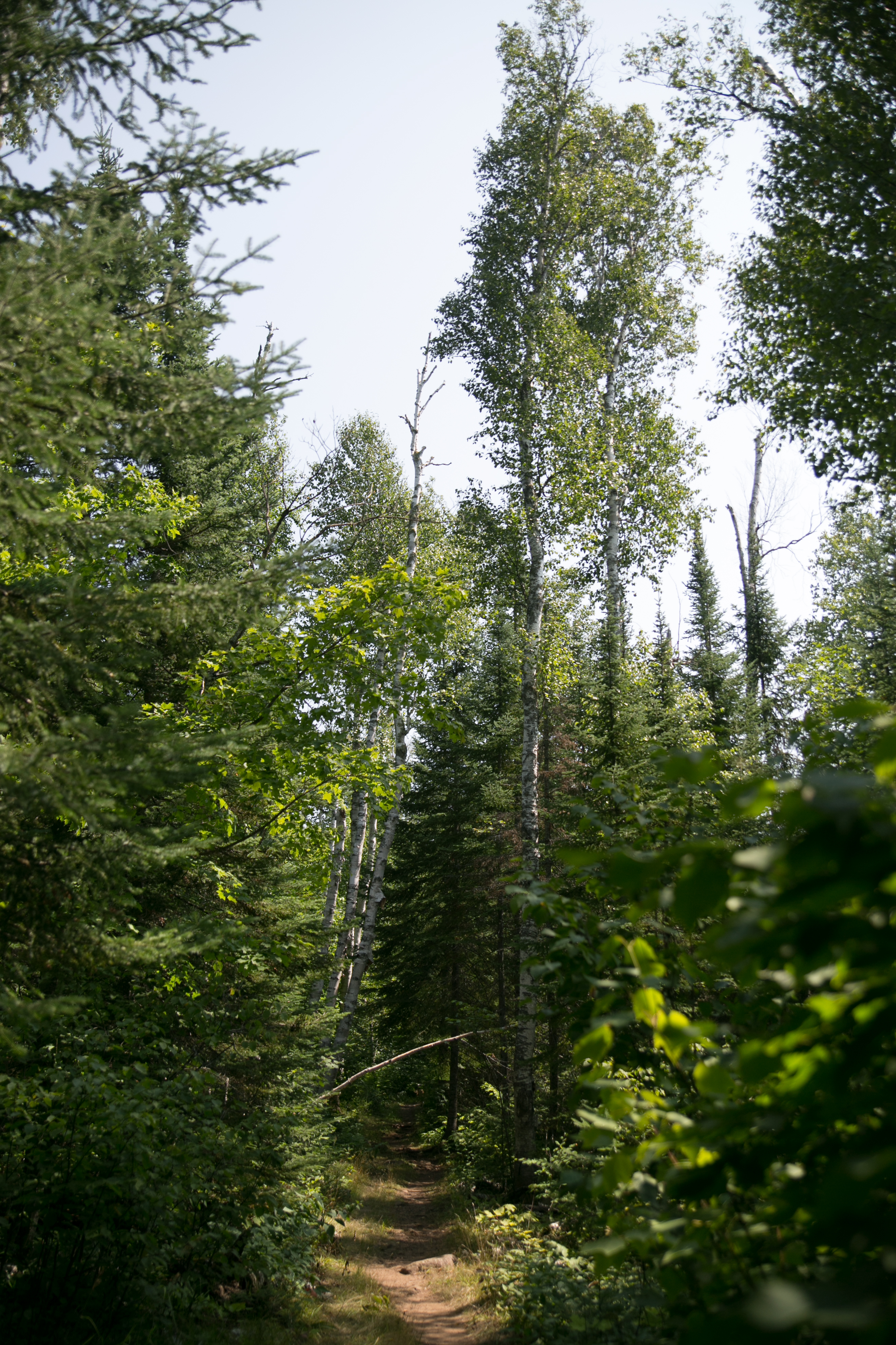
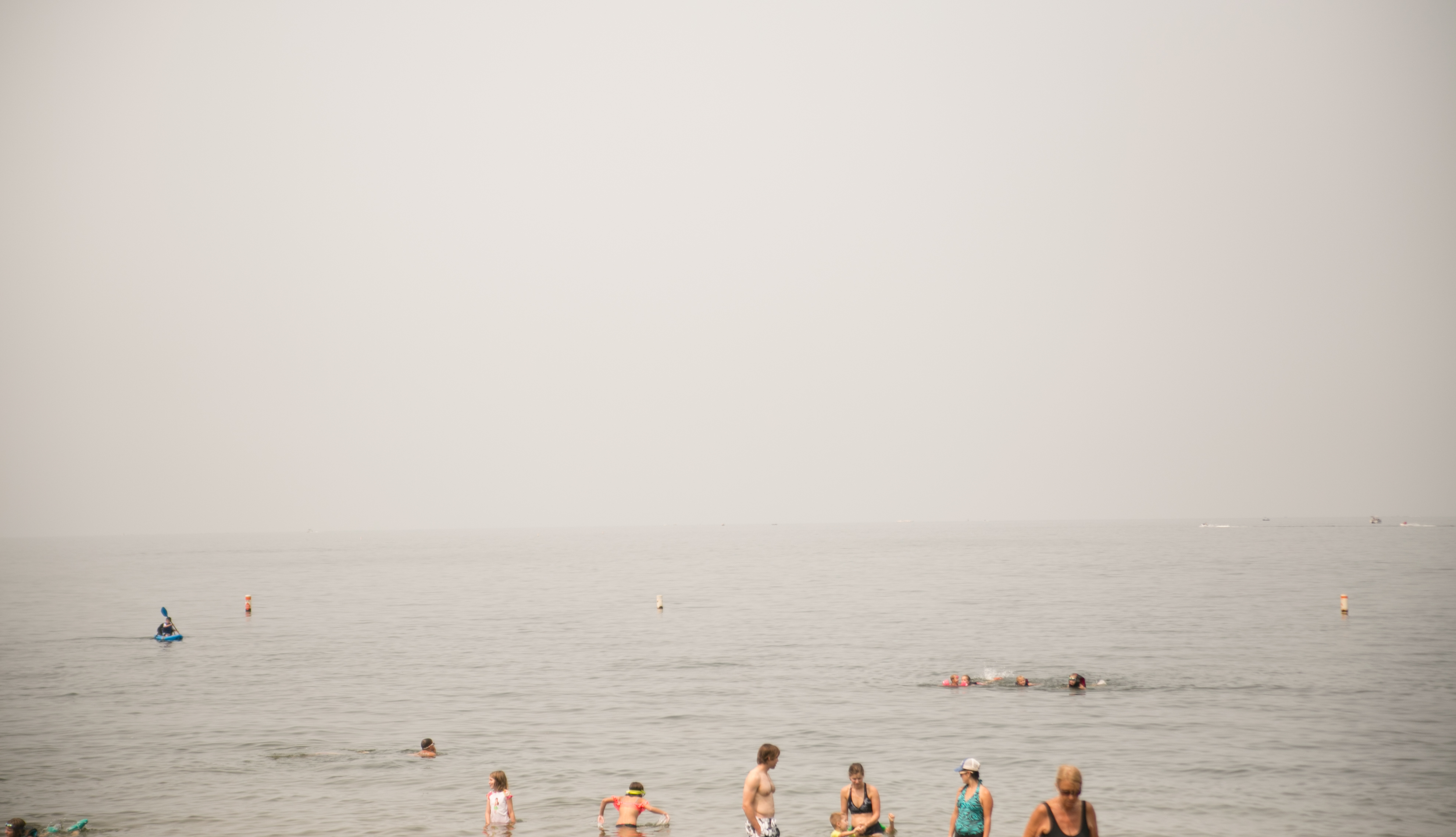
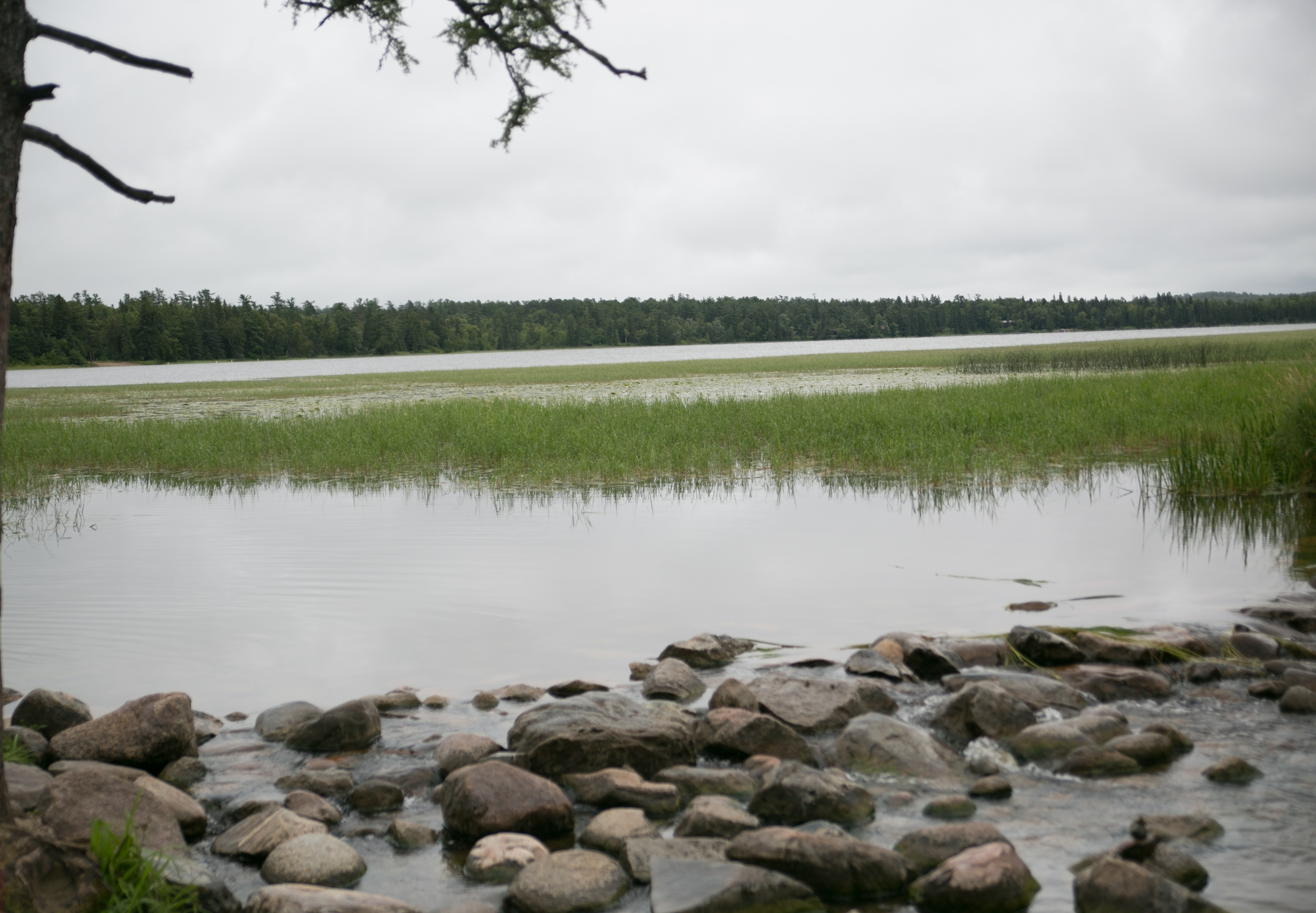
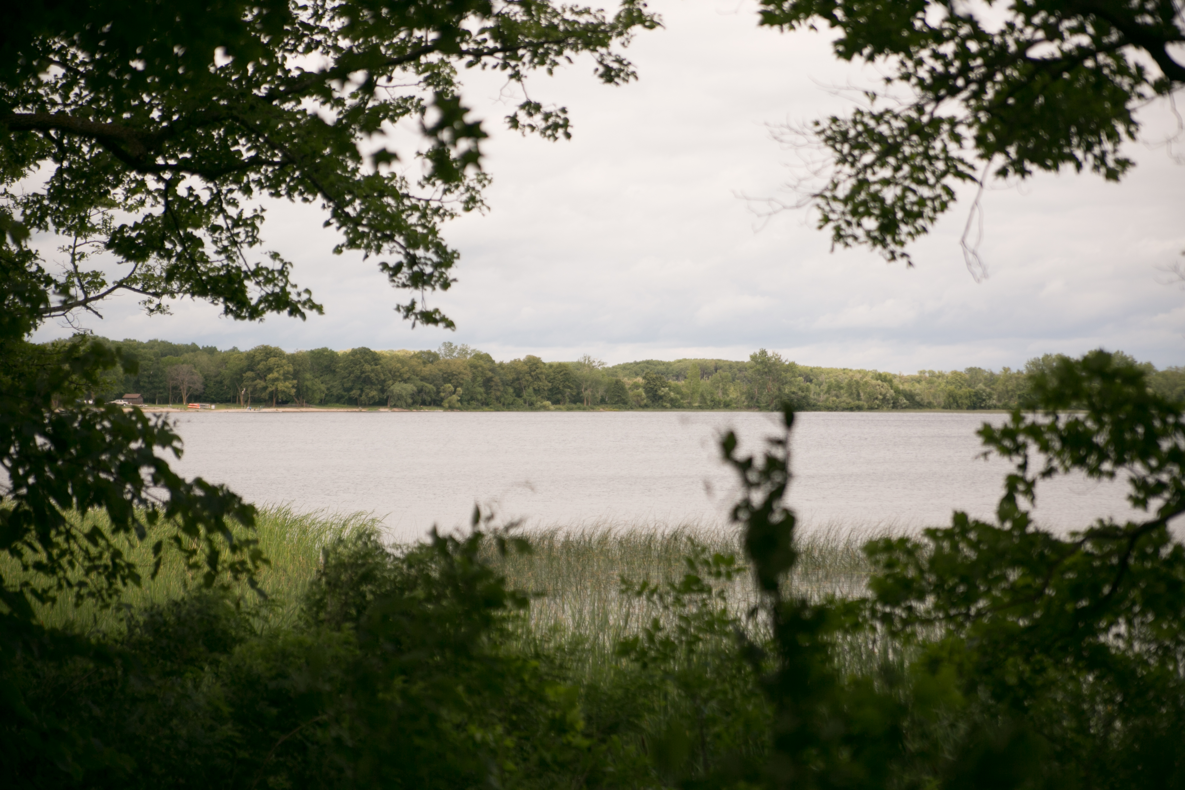
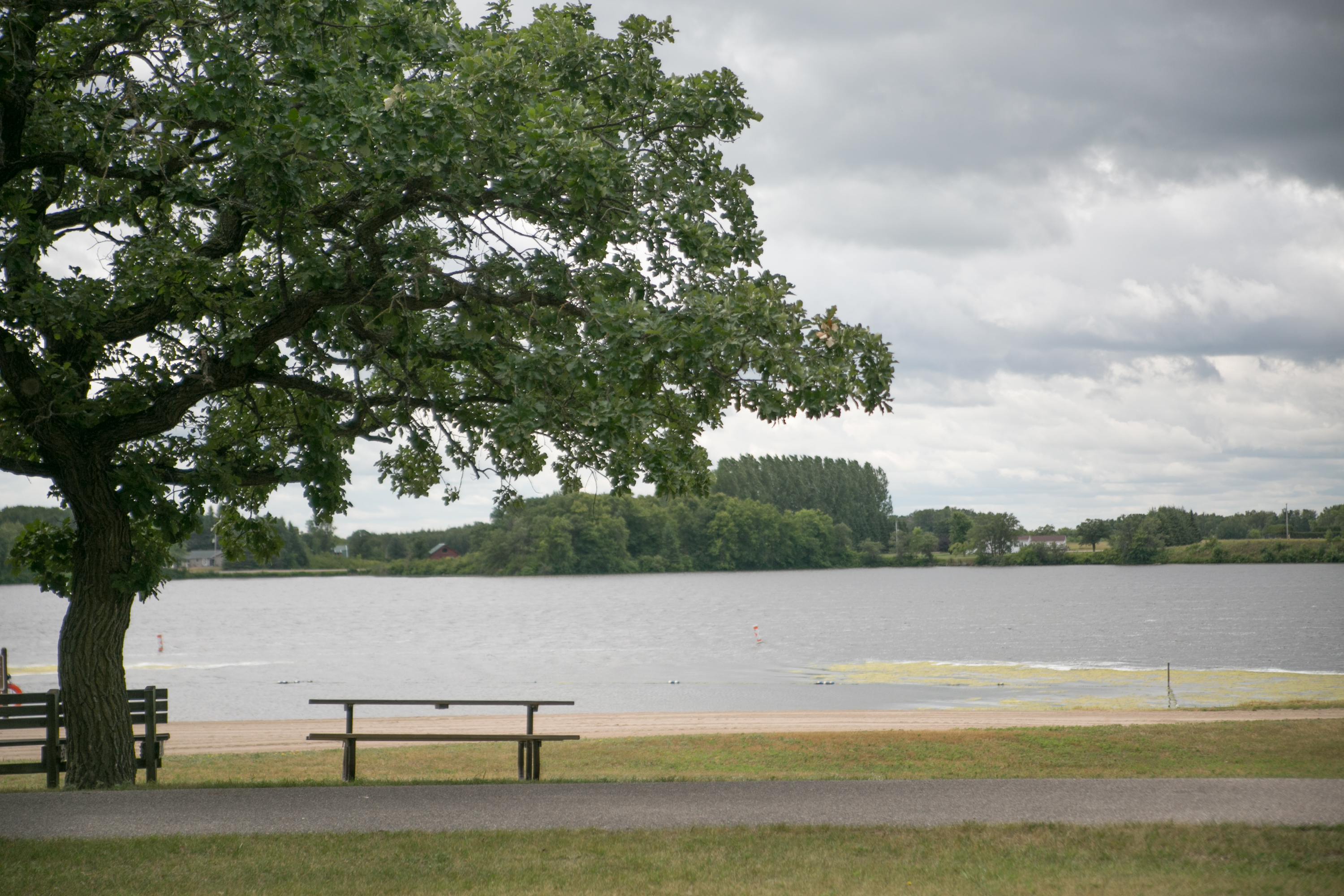
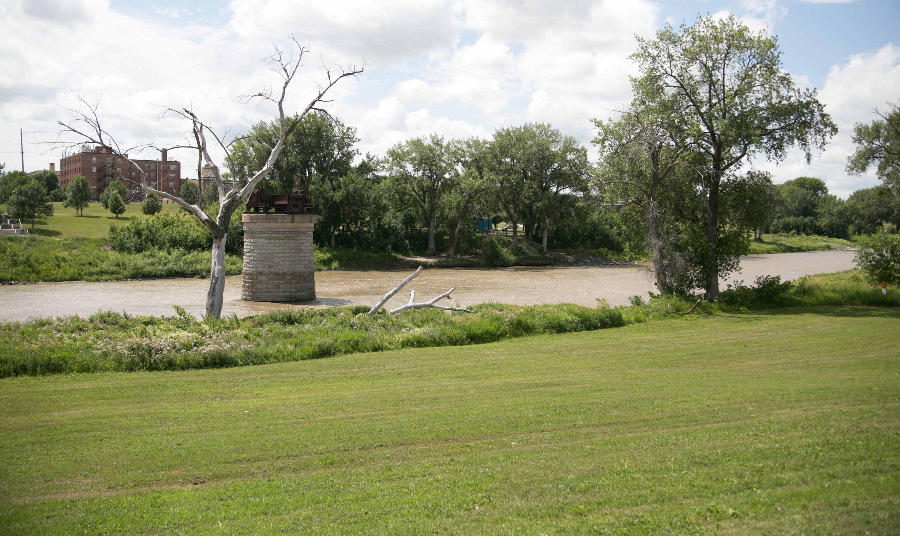
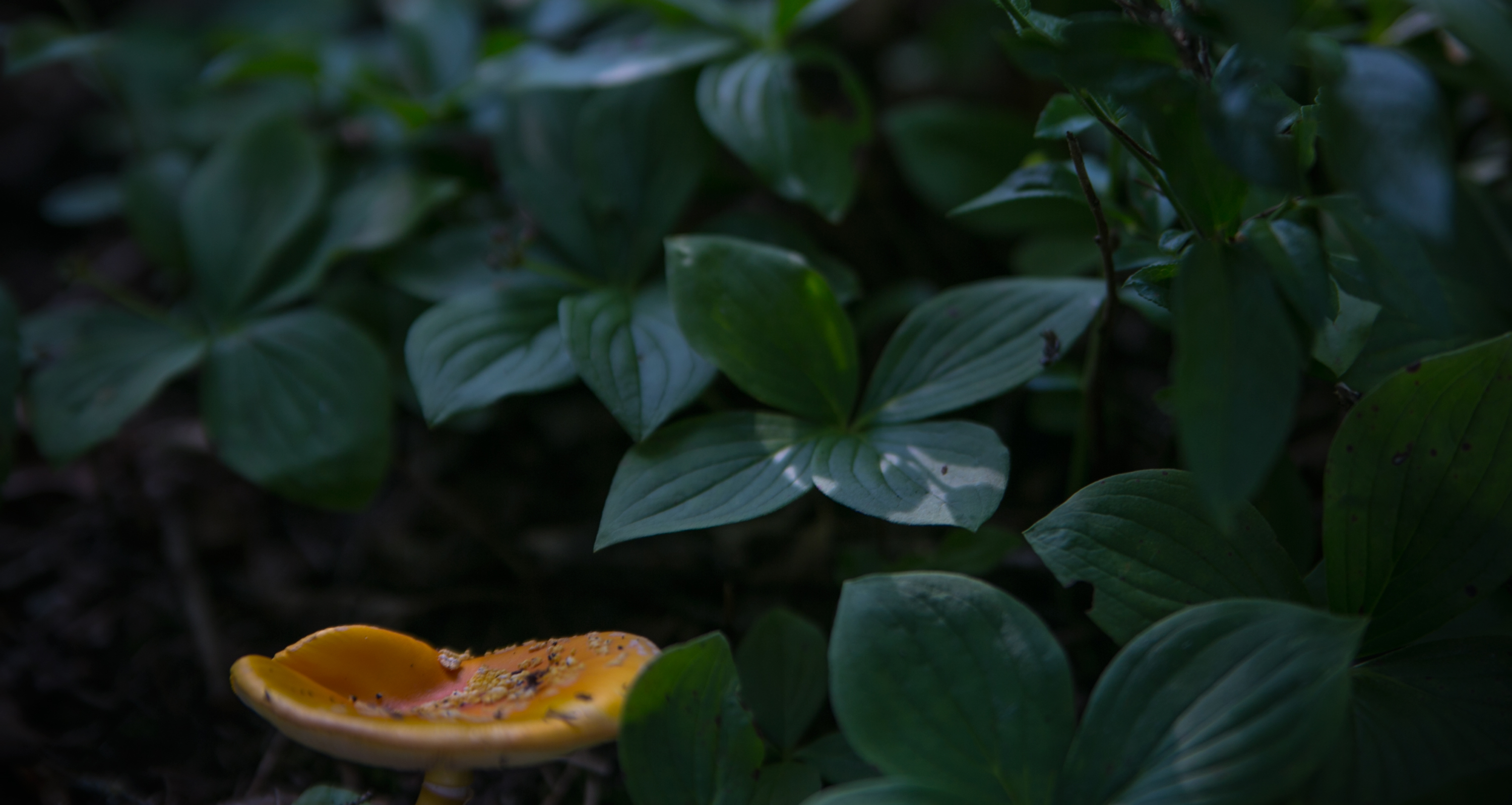
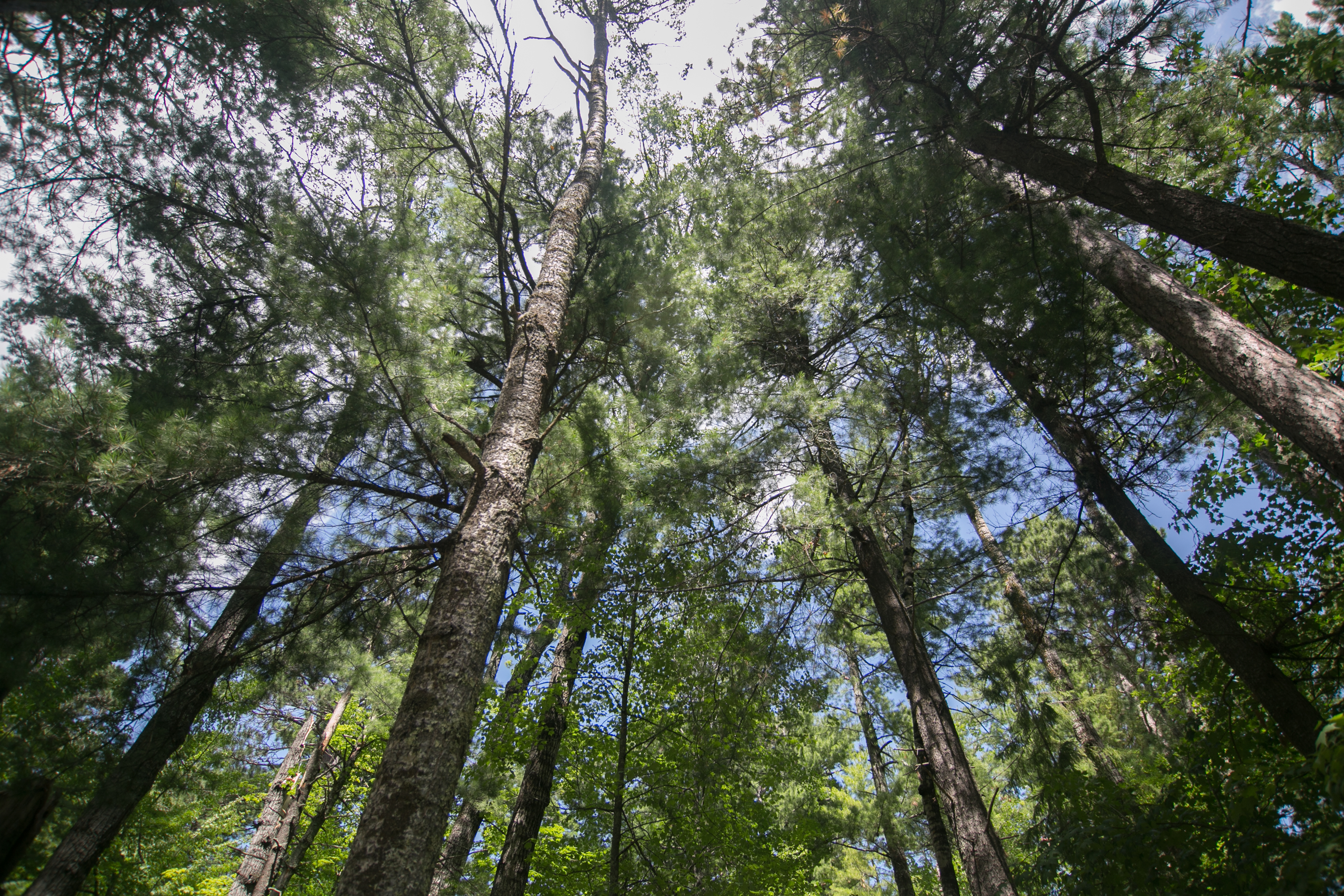
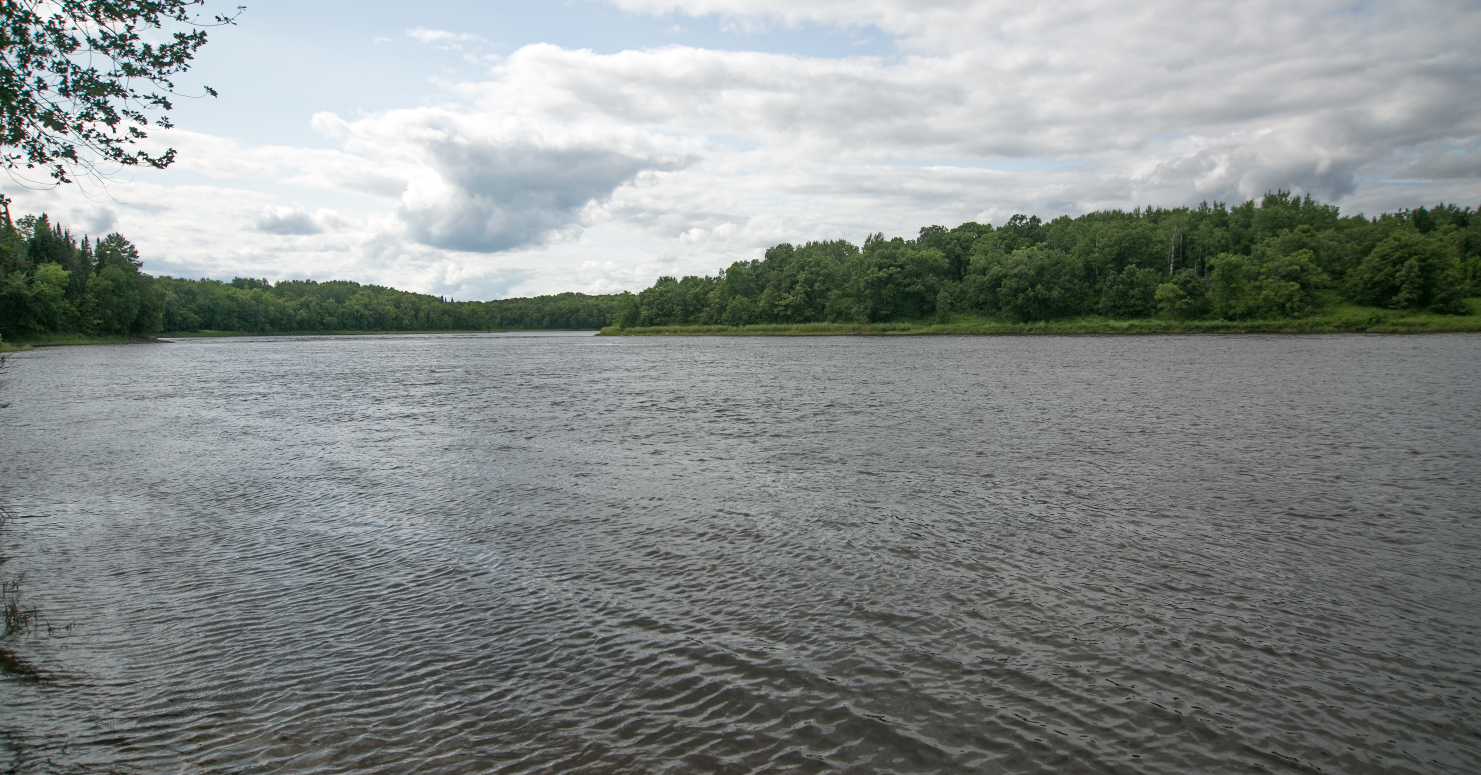
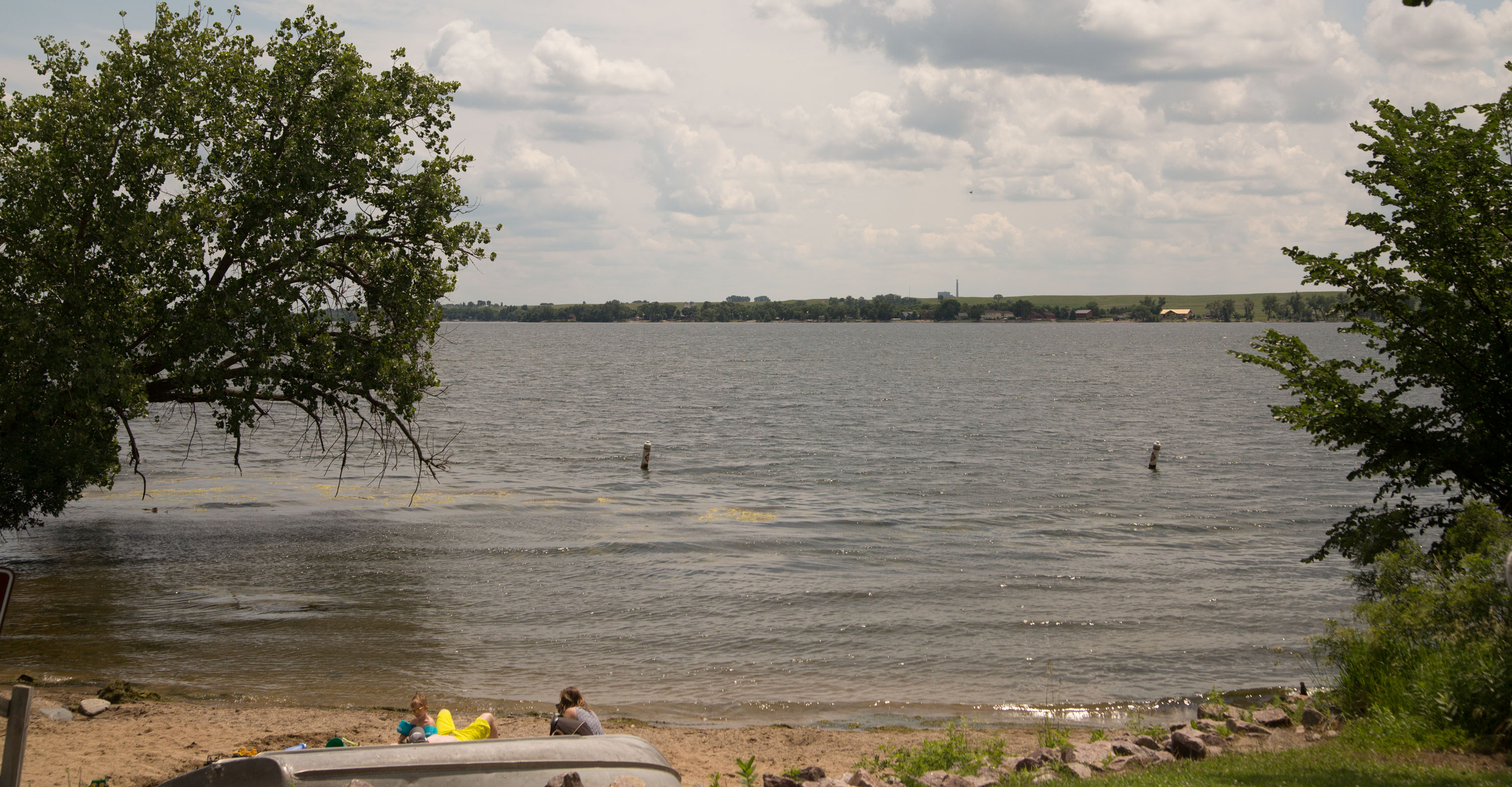
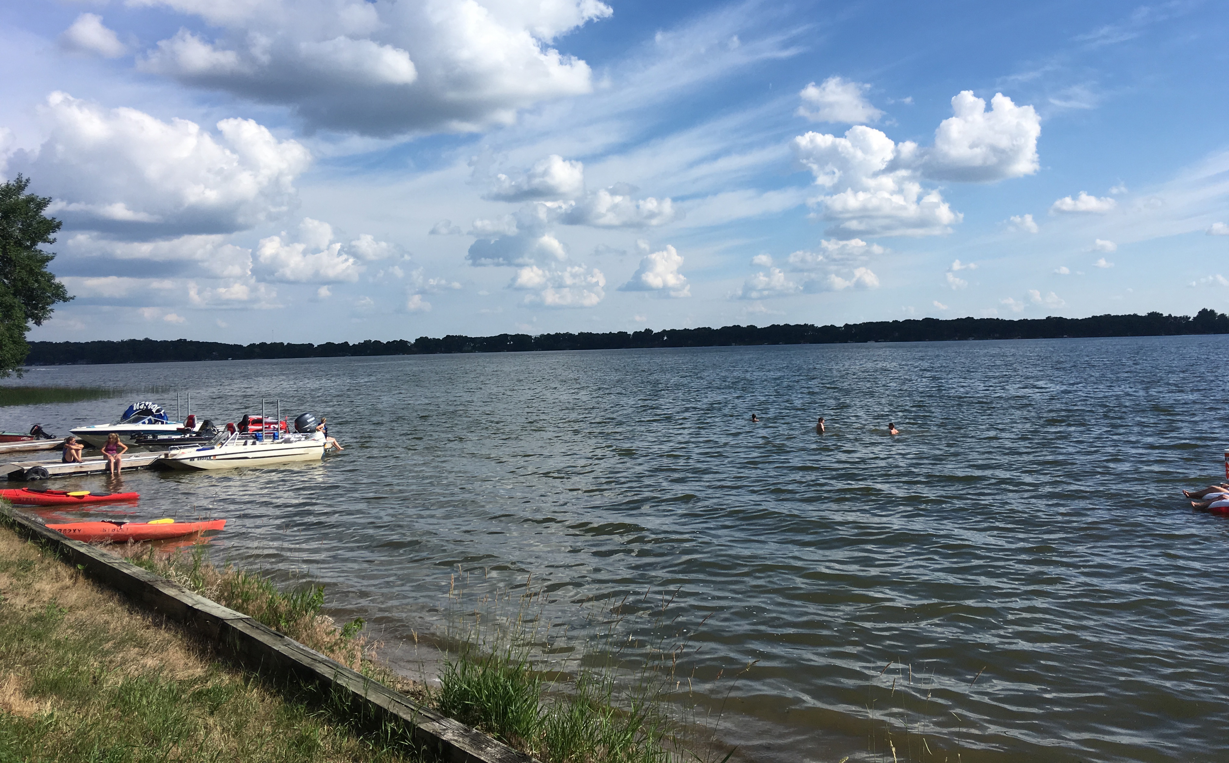
bear head lake state park

this park was a local spot for people to swim and kayak, but it did have a GREAT trail center. there was a great ski-lodge-like building for hikers to rest with a giant firepit right outside circled with adirondack chairs. and guess what. there was a microwave in the trail center. *eye roll*

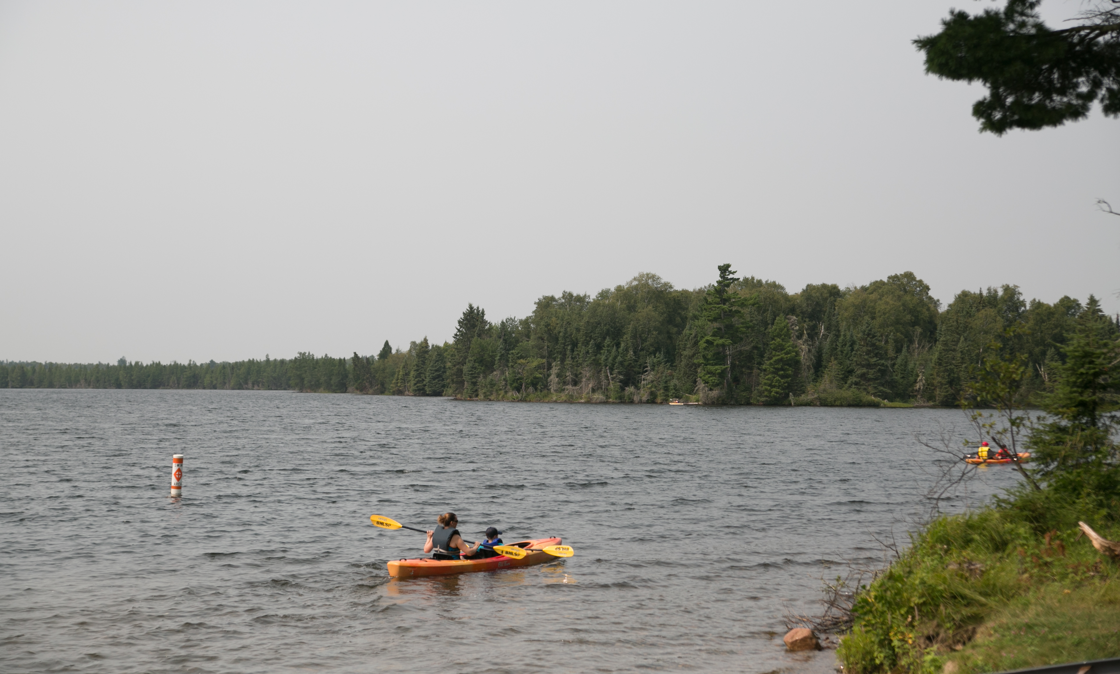
there were also a lot of trees down due to a wind storm in late july – local utilities peeps were working on clearing out some of the downed trees and branches on the road into the park. we didn’t spend a lot of time at this park, but i managed to eat a donut and lori finished up the chips leftover from the night before. we headed out to get to our scheduled 12:30 tour at the soudan mine.

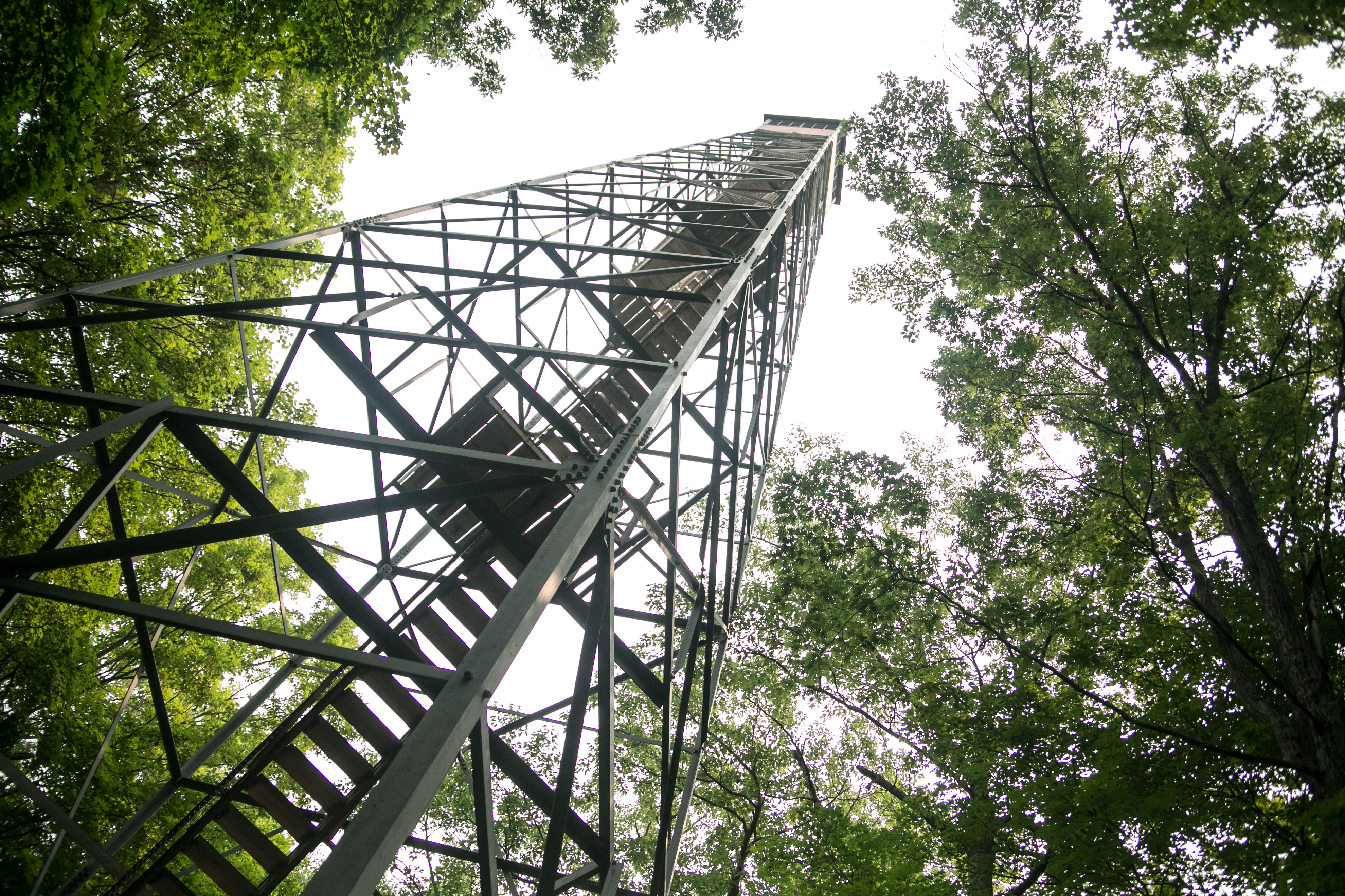
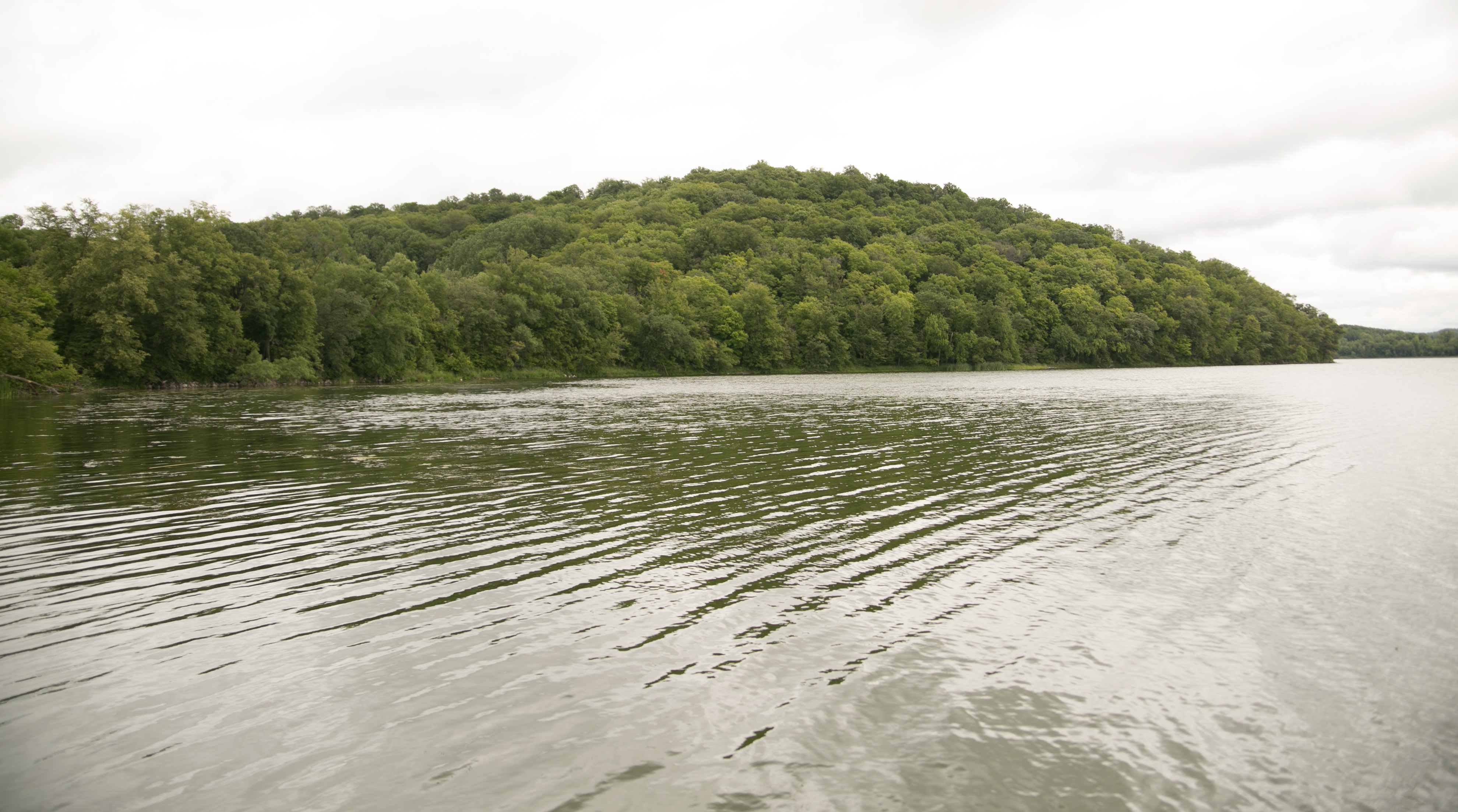
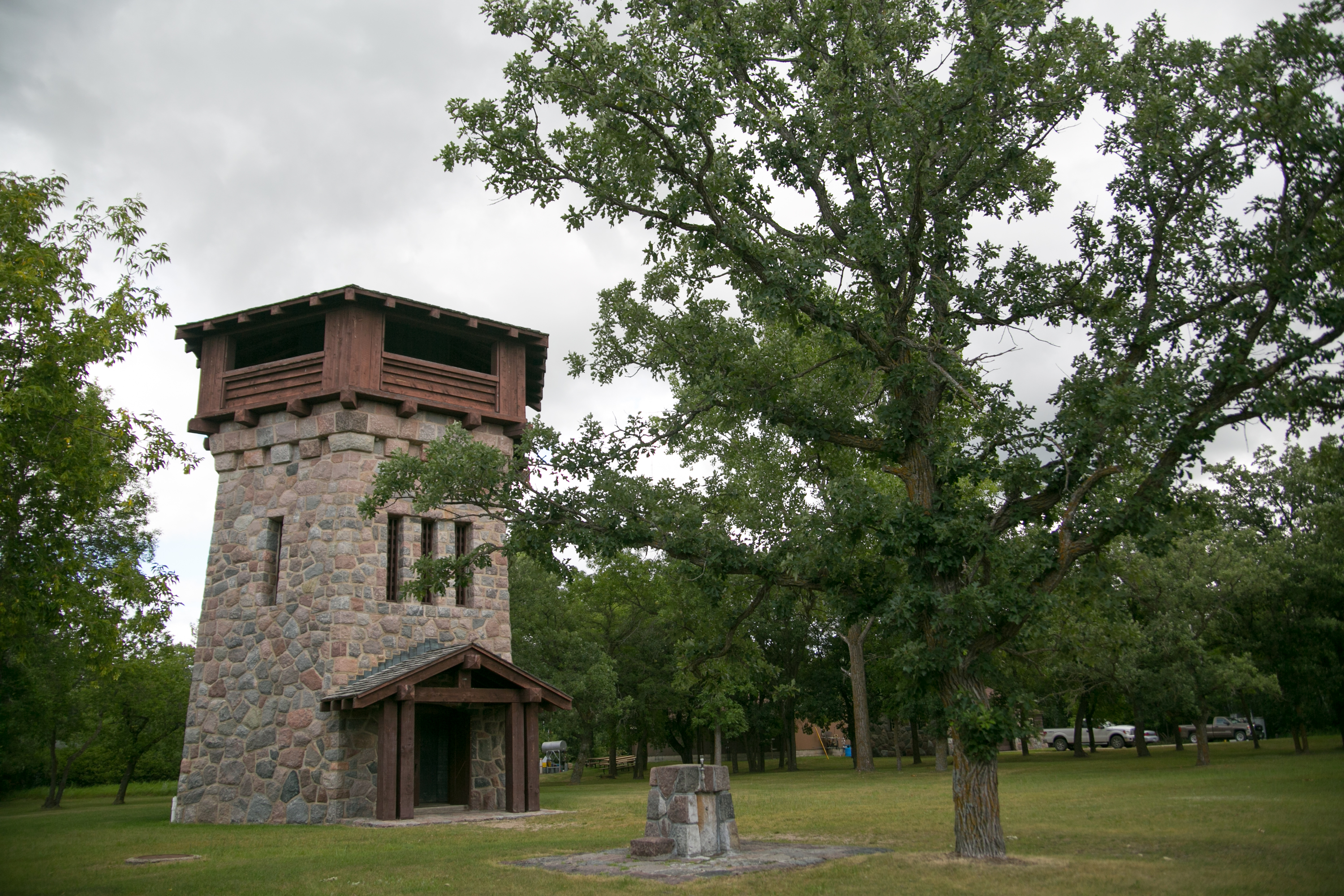
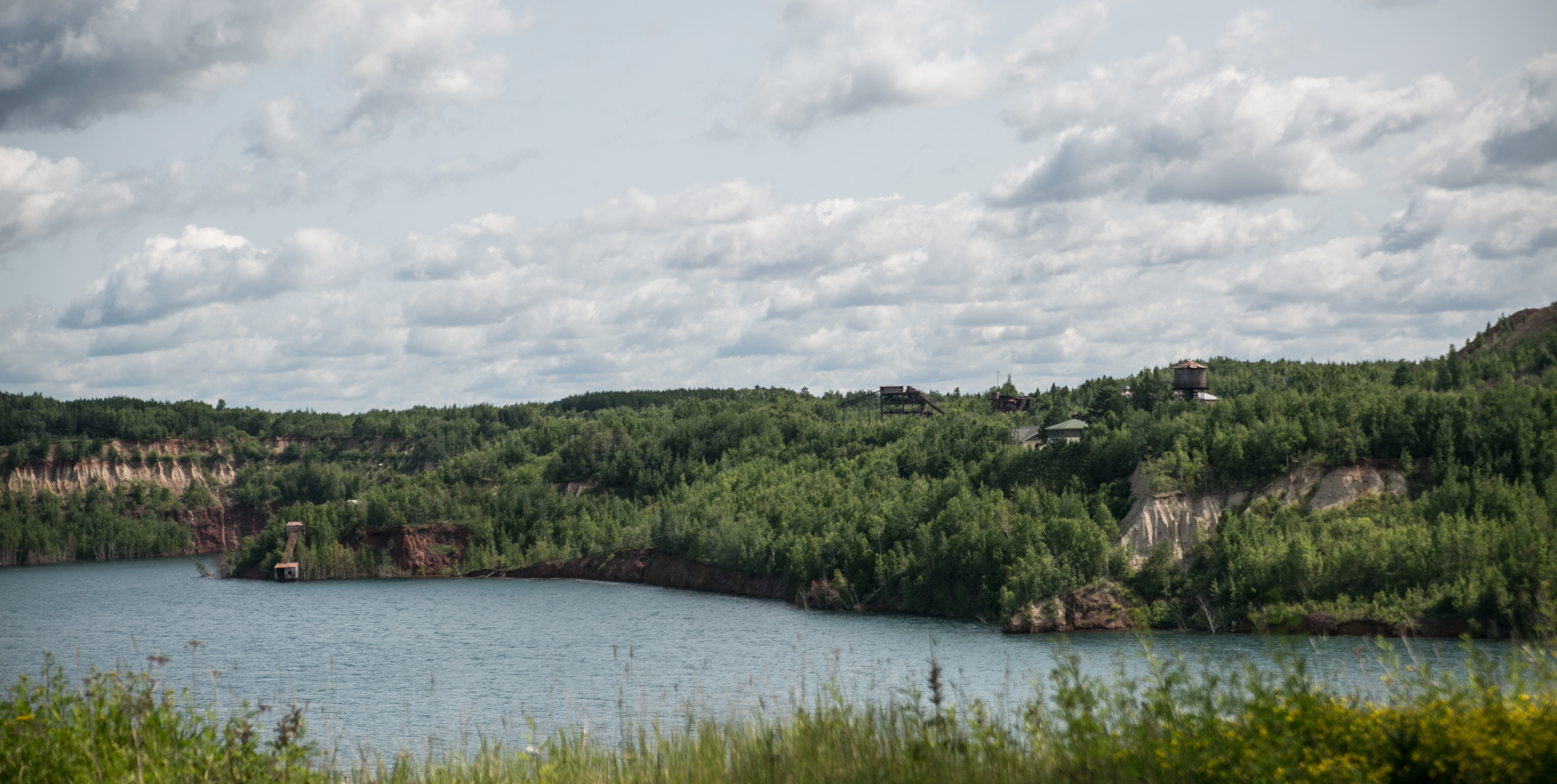
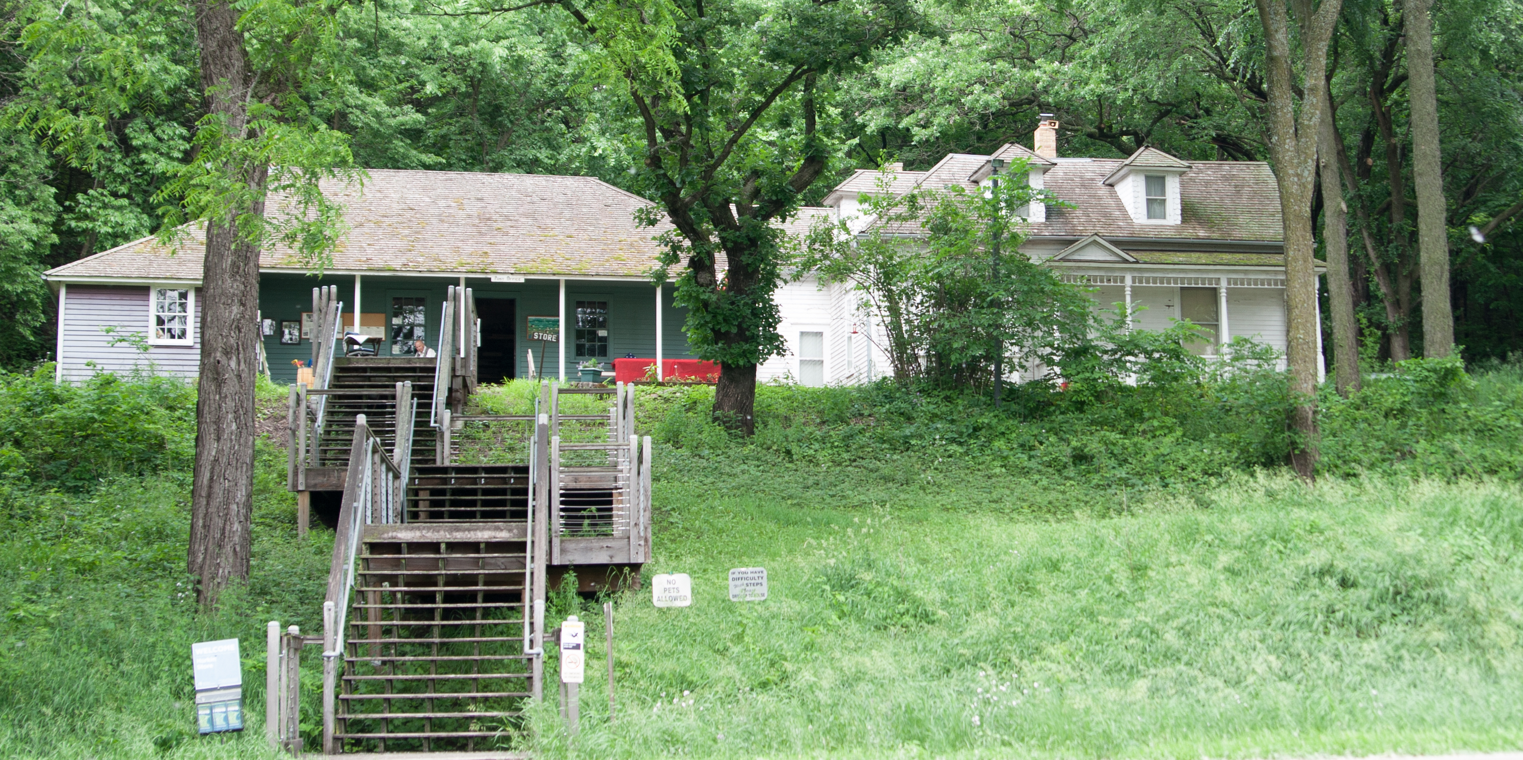
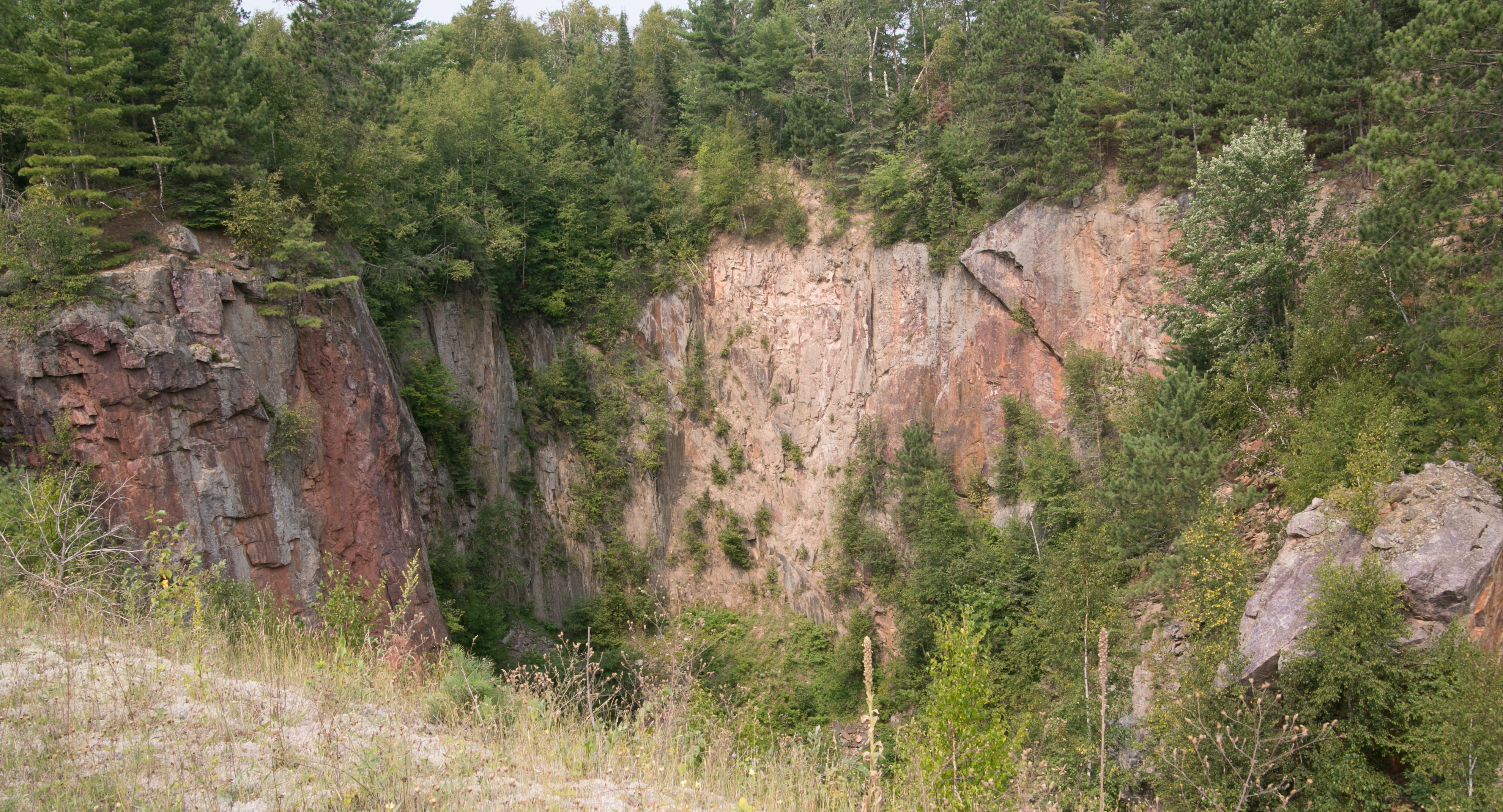
lake vermillion/soudan mine

i made reservations for the mine tour at 12:30 and instructions said to show up a half hour beforehand. we made it RIGHT at noon. good job us. checked in, checked out the outdoor above-ground mine operation they had going on for a while, and then the items of interest indoors.

at 12:30, we met our tour guide and he started a 10-minute video on the mine. at which point i realized – DRAMAMINE. we’d be shuttling down a half mile in a rocking elevator and then sitting in a train for a while. oh lord. i didn’t need a repeat of HP world. so i ran (literally) back to the car, took my pill, and ran back just in time for the end of the video.

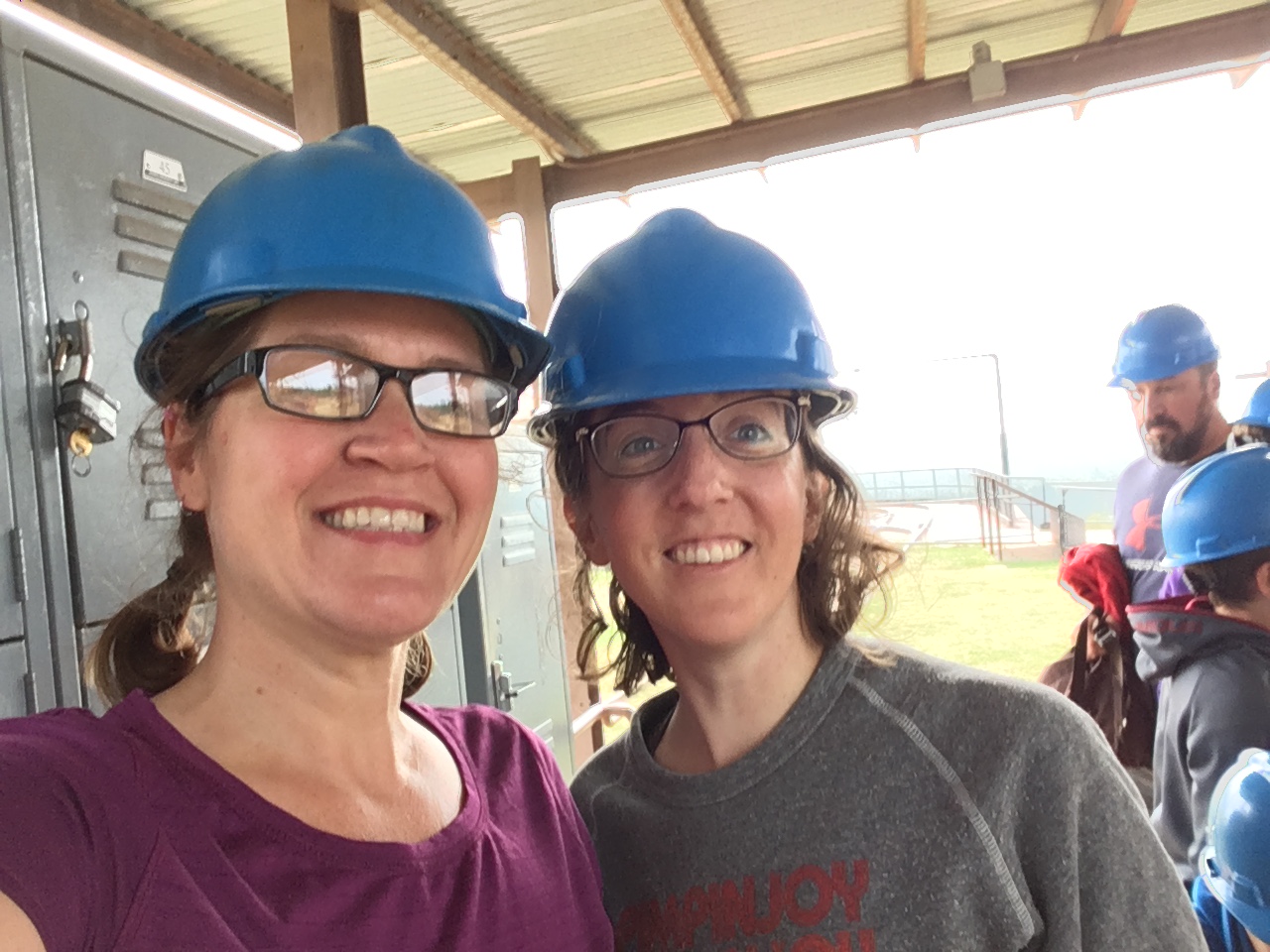
(lori and me modeling our miners hats.)

we shuttled down in the metal elevator that has a pretty awesome apparatus for getting up and down the mine shafts. there are two, and the weight of each brings the other up or down.

then we headed through the mine for a tour, learned about the horrible working conditions, and watched out for ghosts and bats. we saw neither, but that’s ok by me. i am severely glad i took the dramamine.

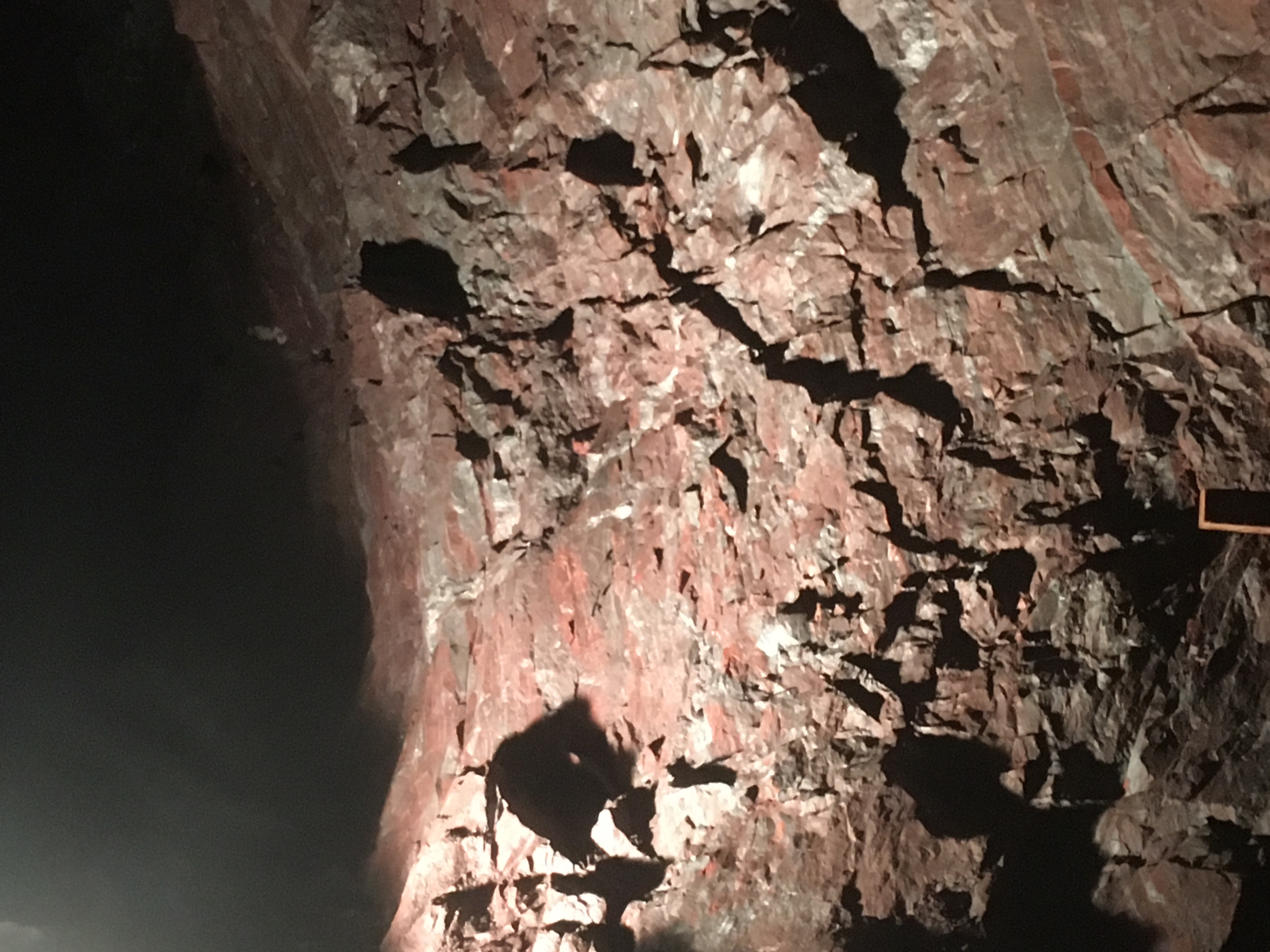
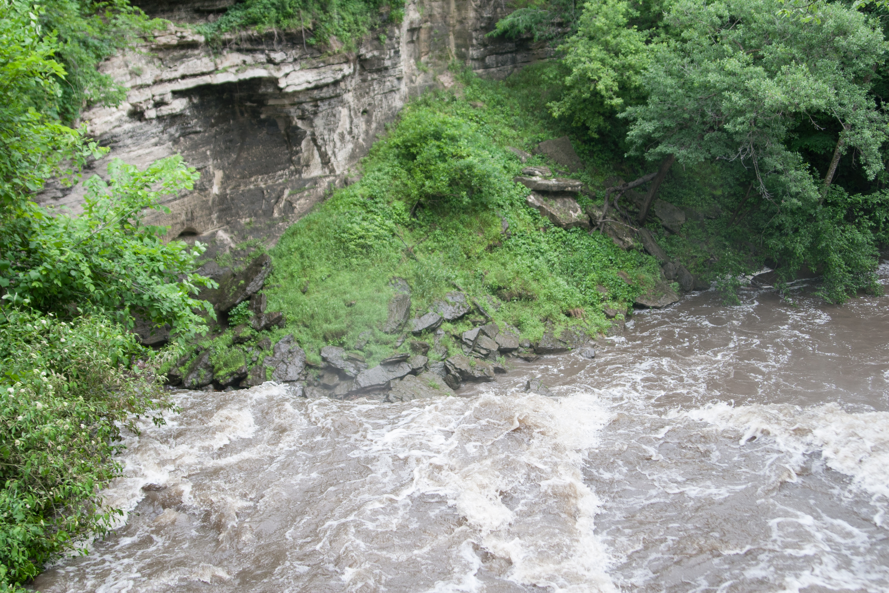
so it turns out that the iron in this mine is really good, pure stuff. which means it’s a little difficult to mine, but it’s an awesome percentage of iron. so i wondered why they closed the mine. well, with the advent of bottled air, getting iron out of taconite ore is a lot more cost effective than mining the much purer iron ore in this one. so now we get to take tours of the mines instead of mining the mines.

after our tour, we stopped in tower at another last-minute eating decision. we ended up getting some appetizers and then ice cream afterward. good food decision!

now it was time to book it down the state.
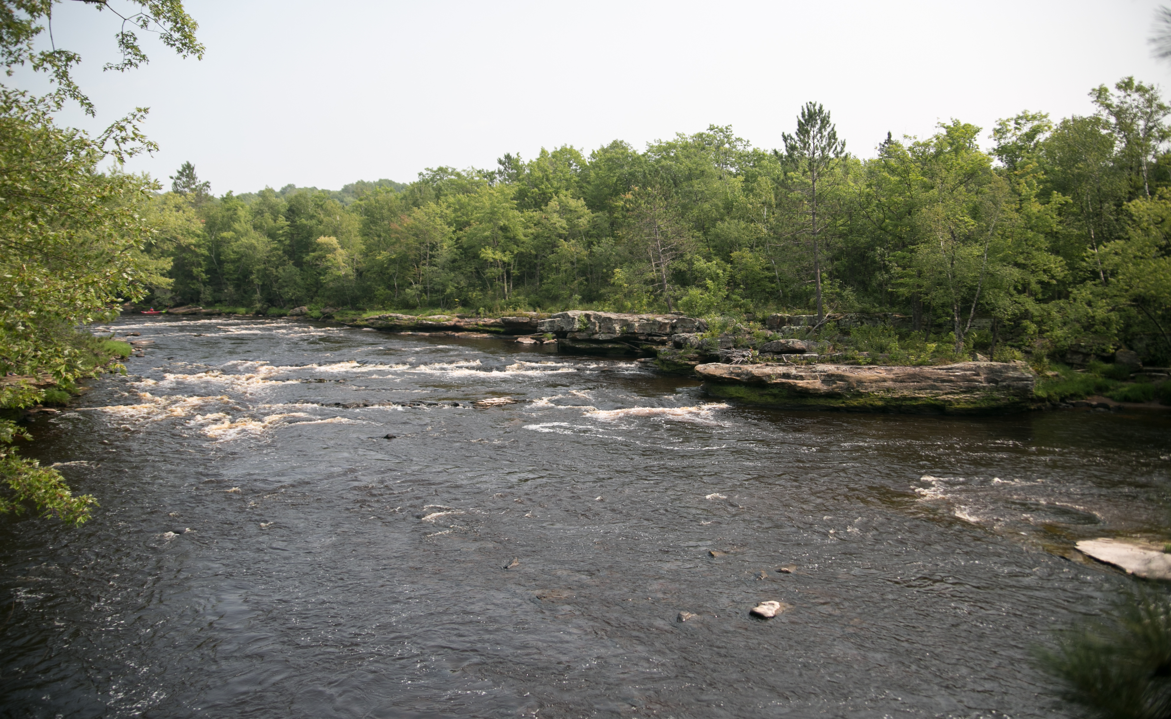
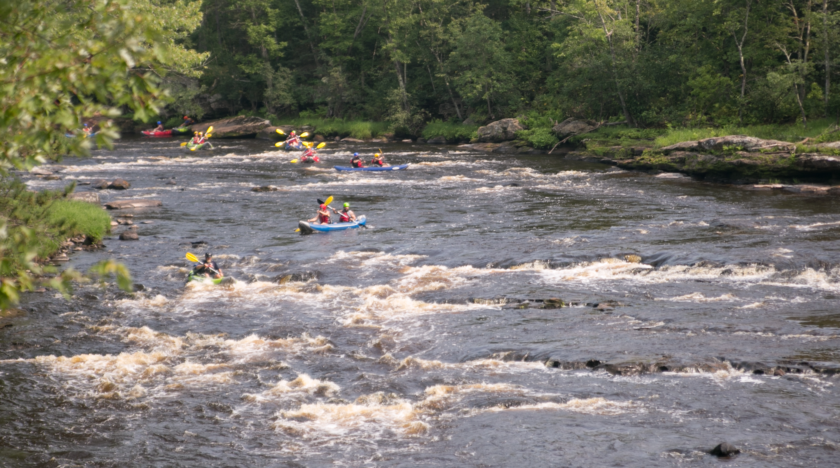
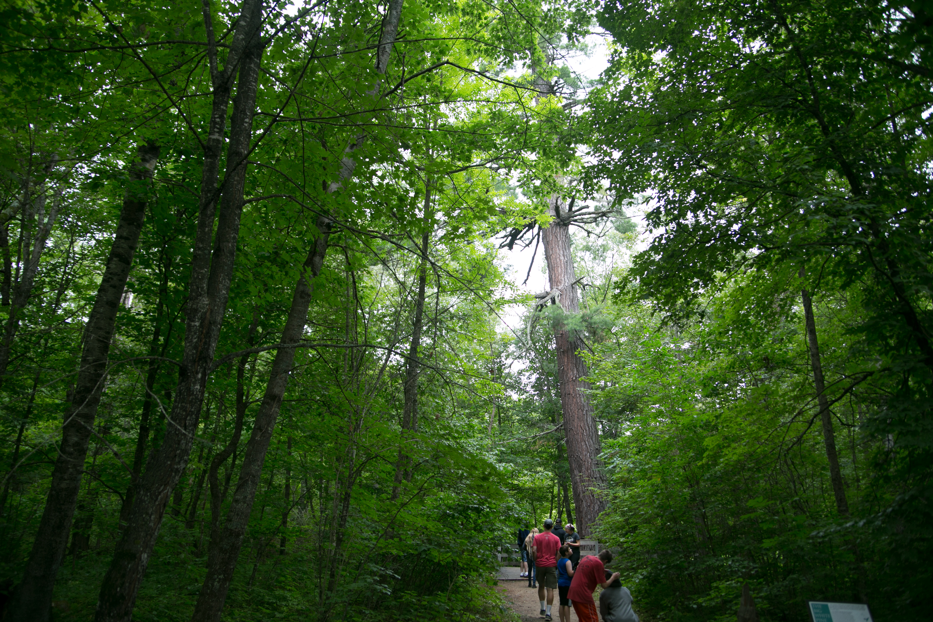
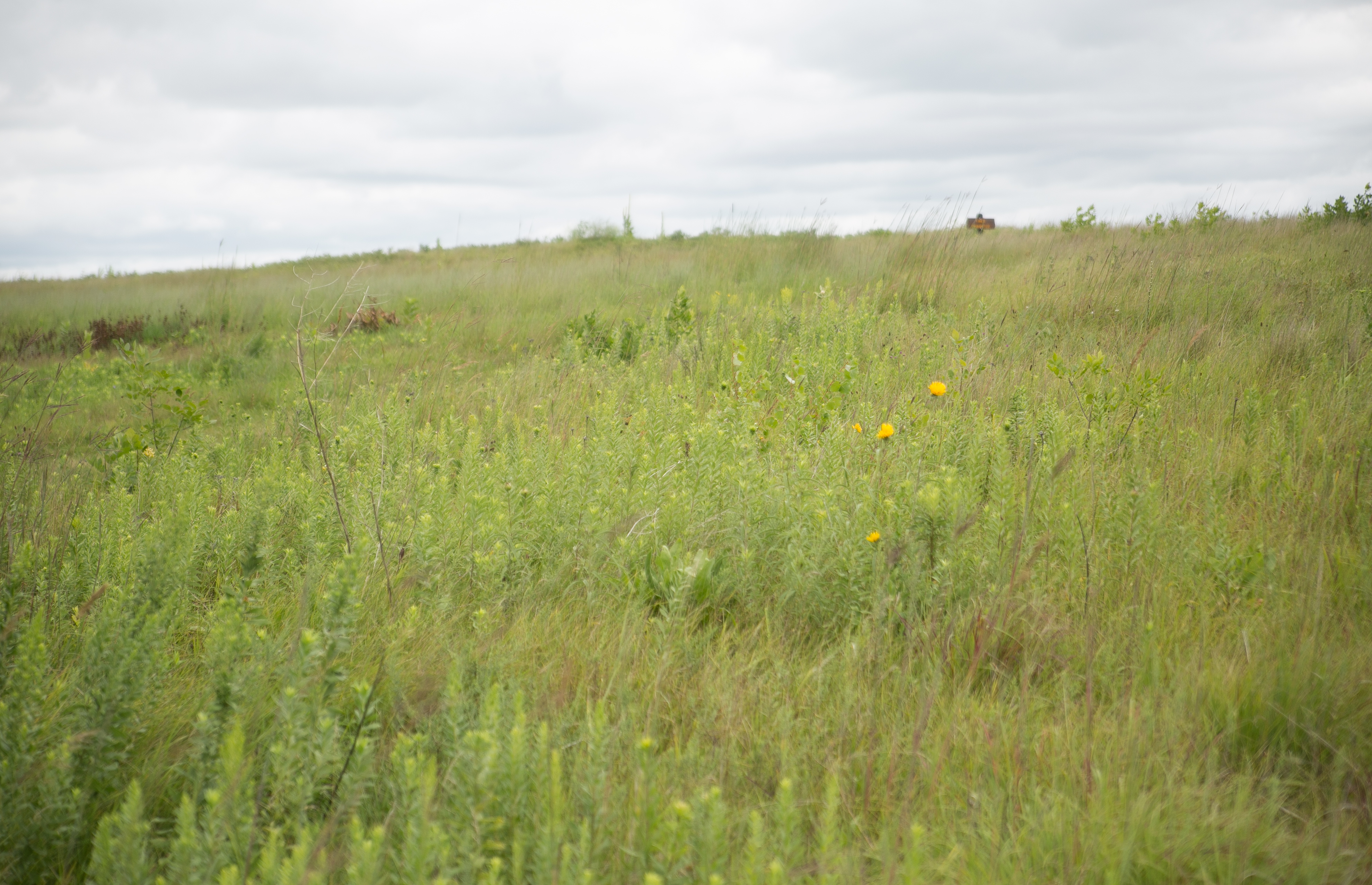
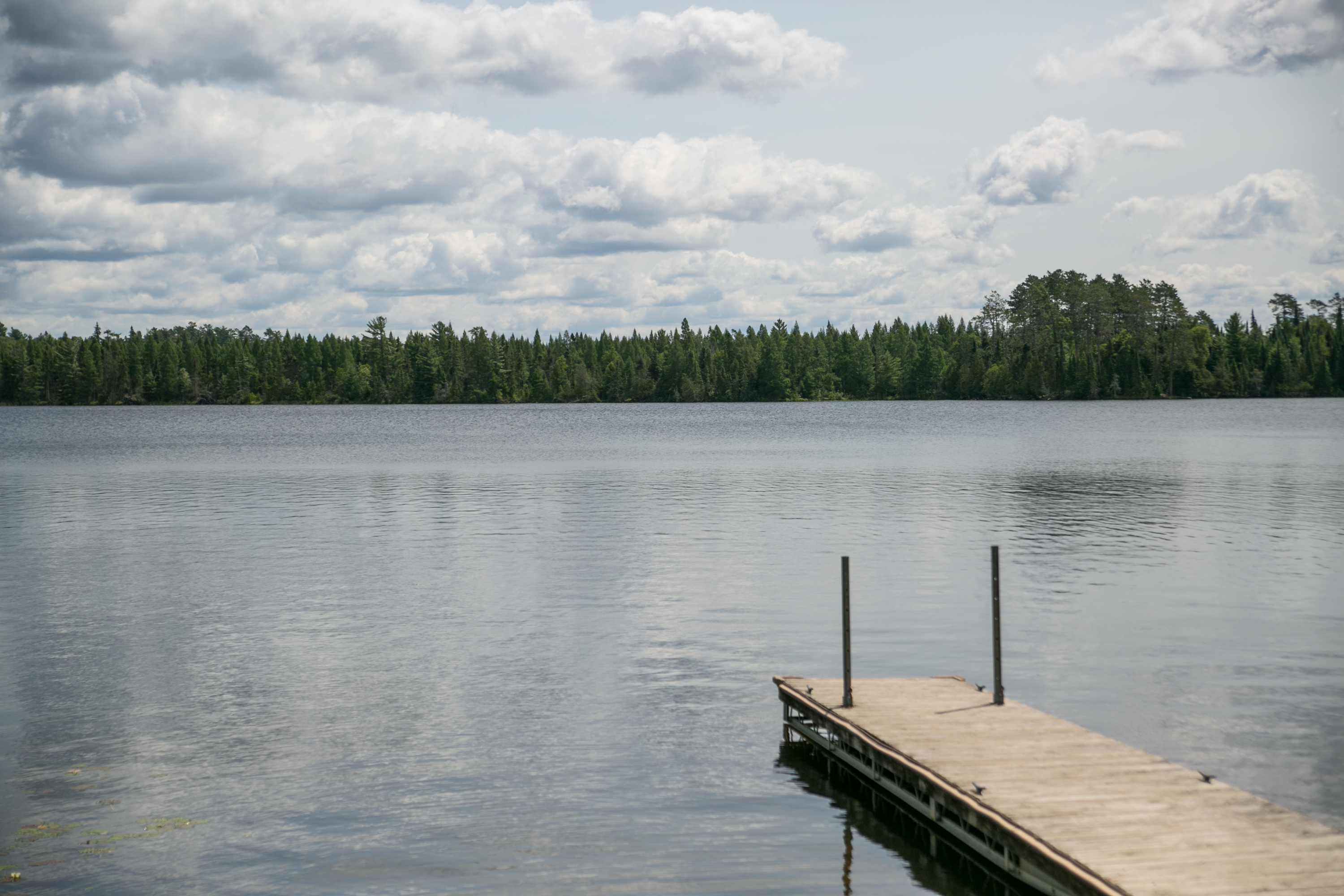
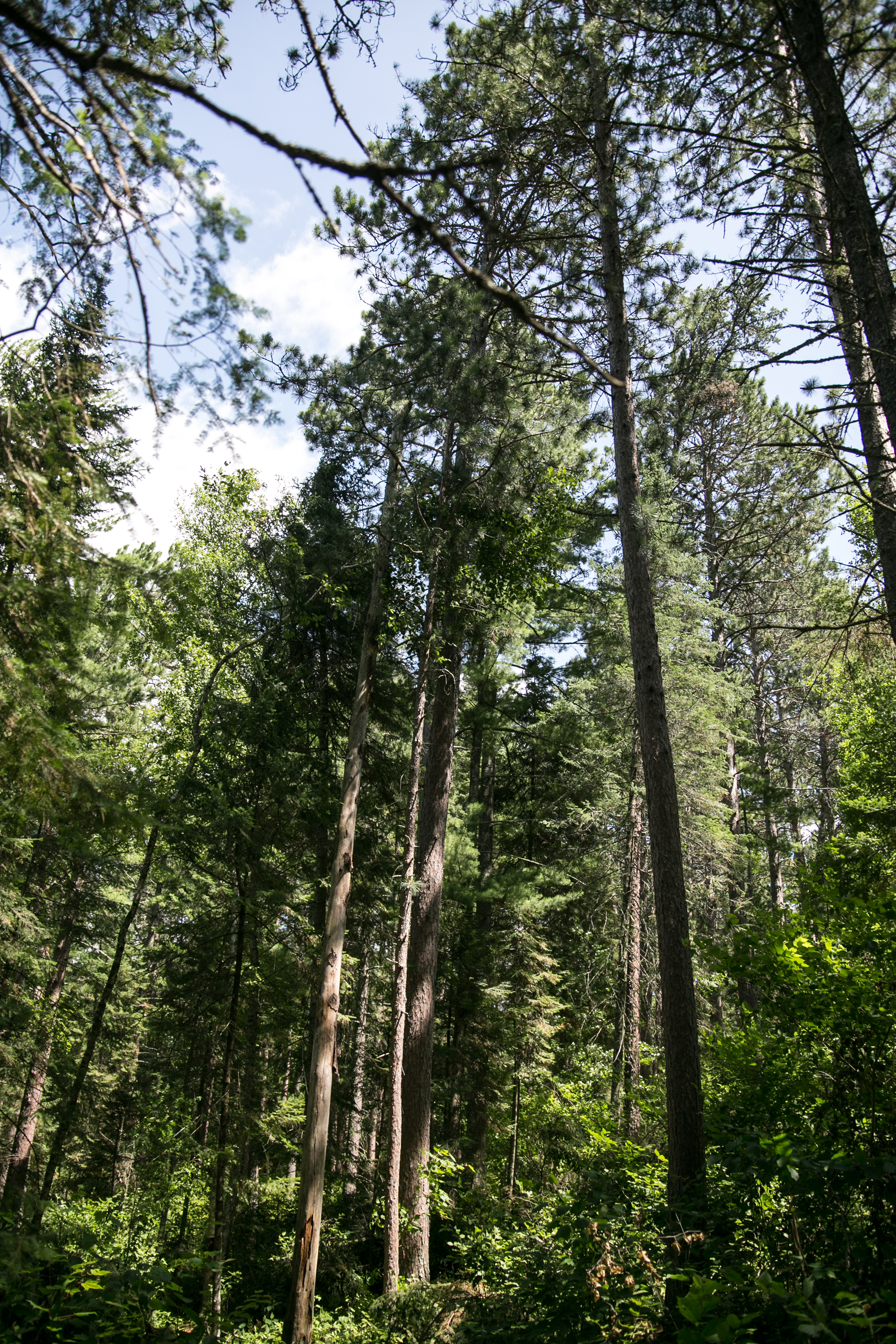
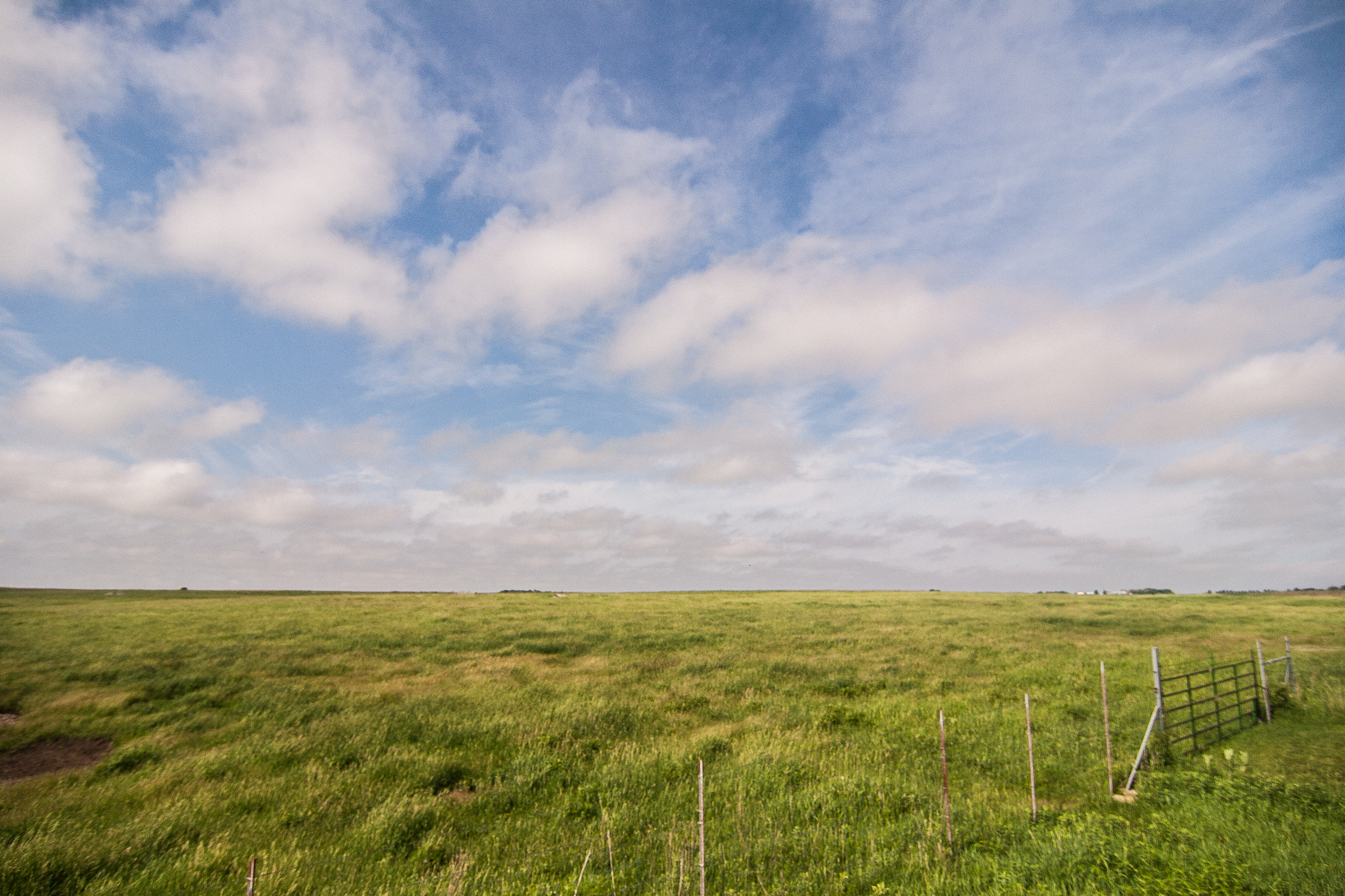
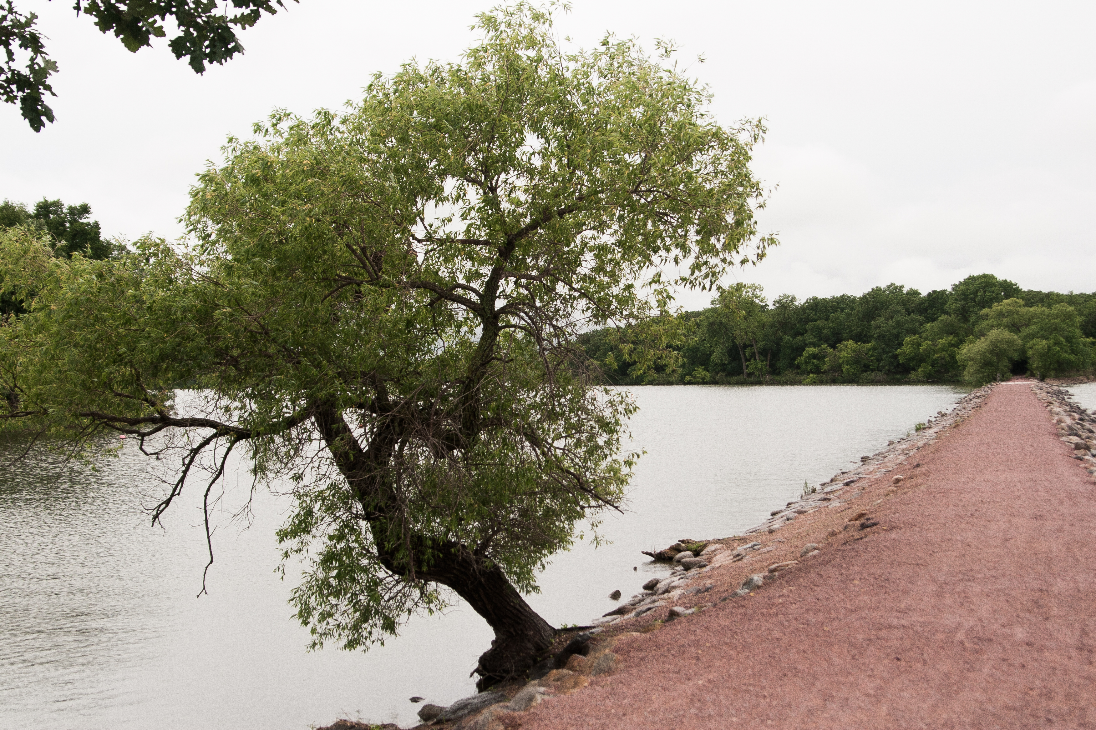
mccarthy beach

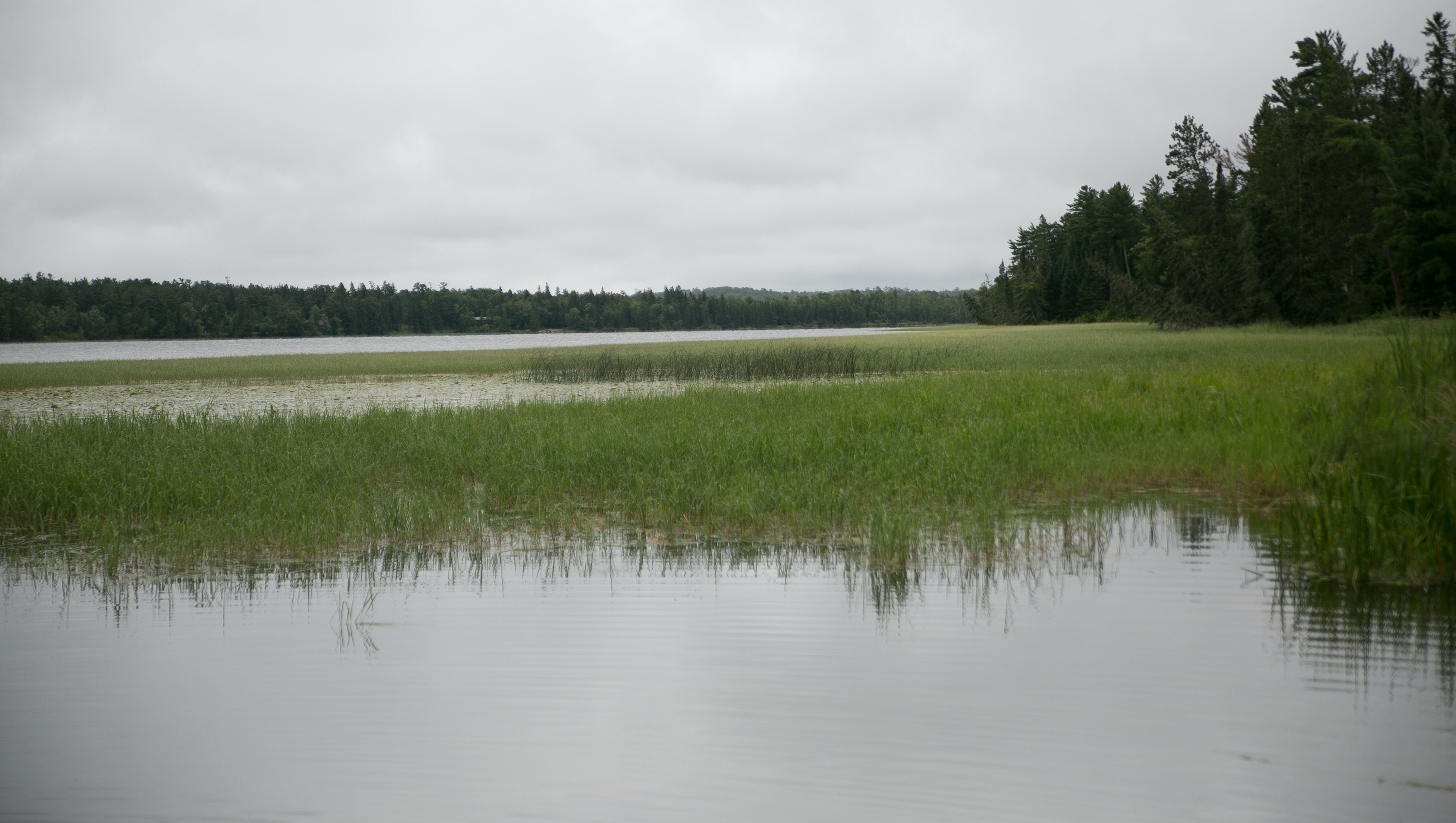
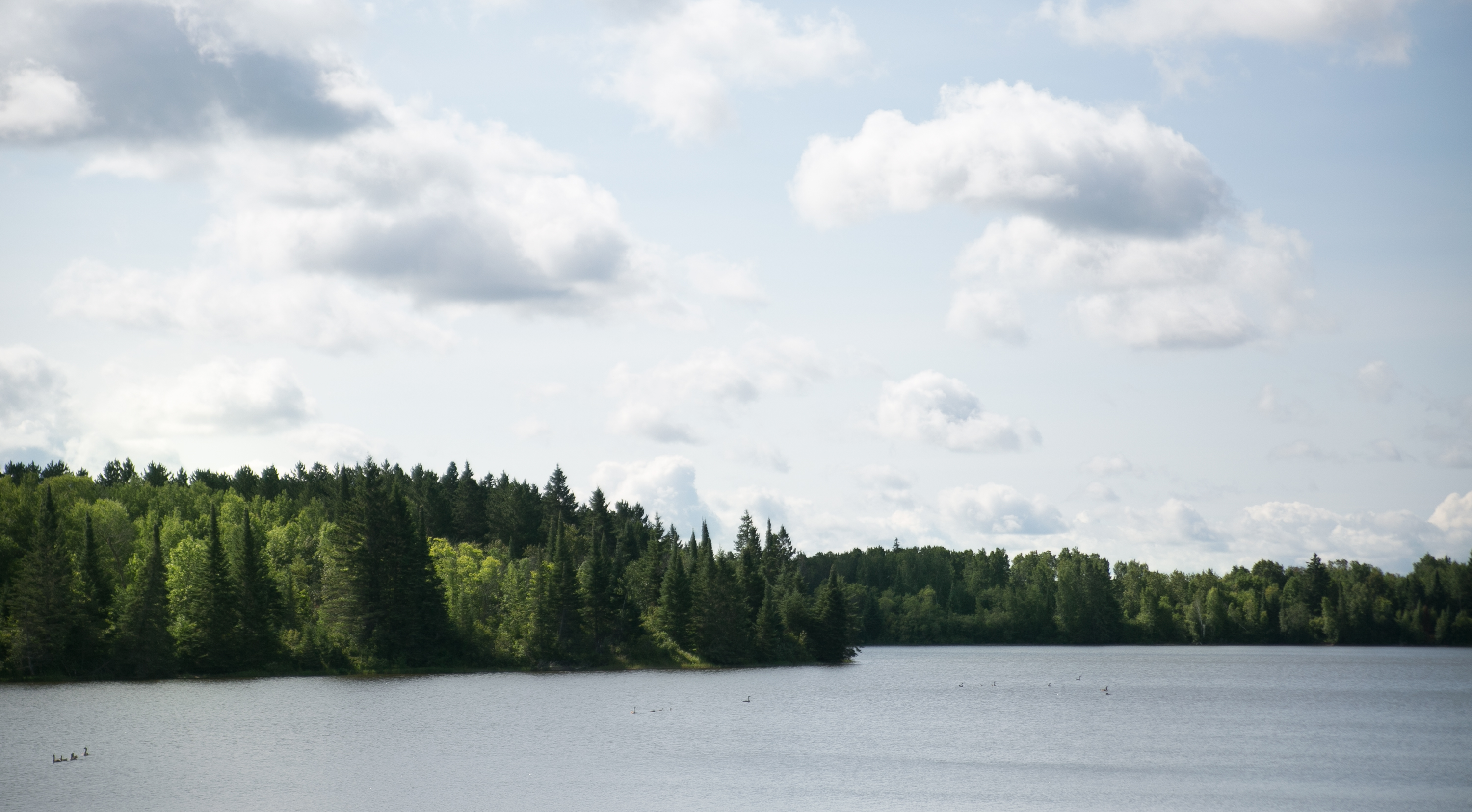
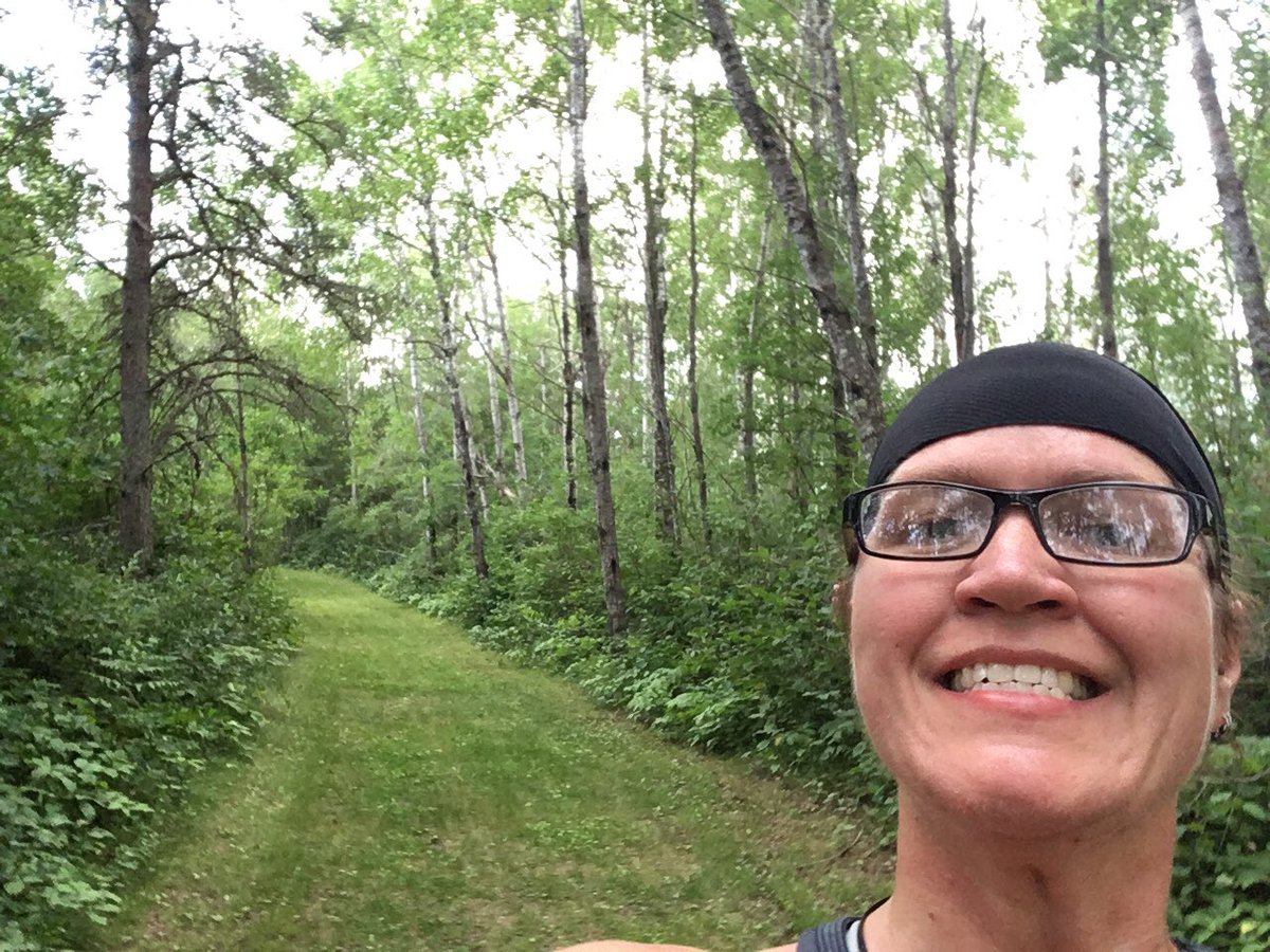
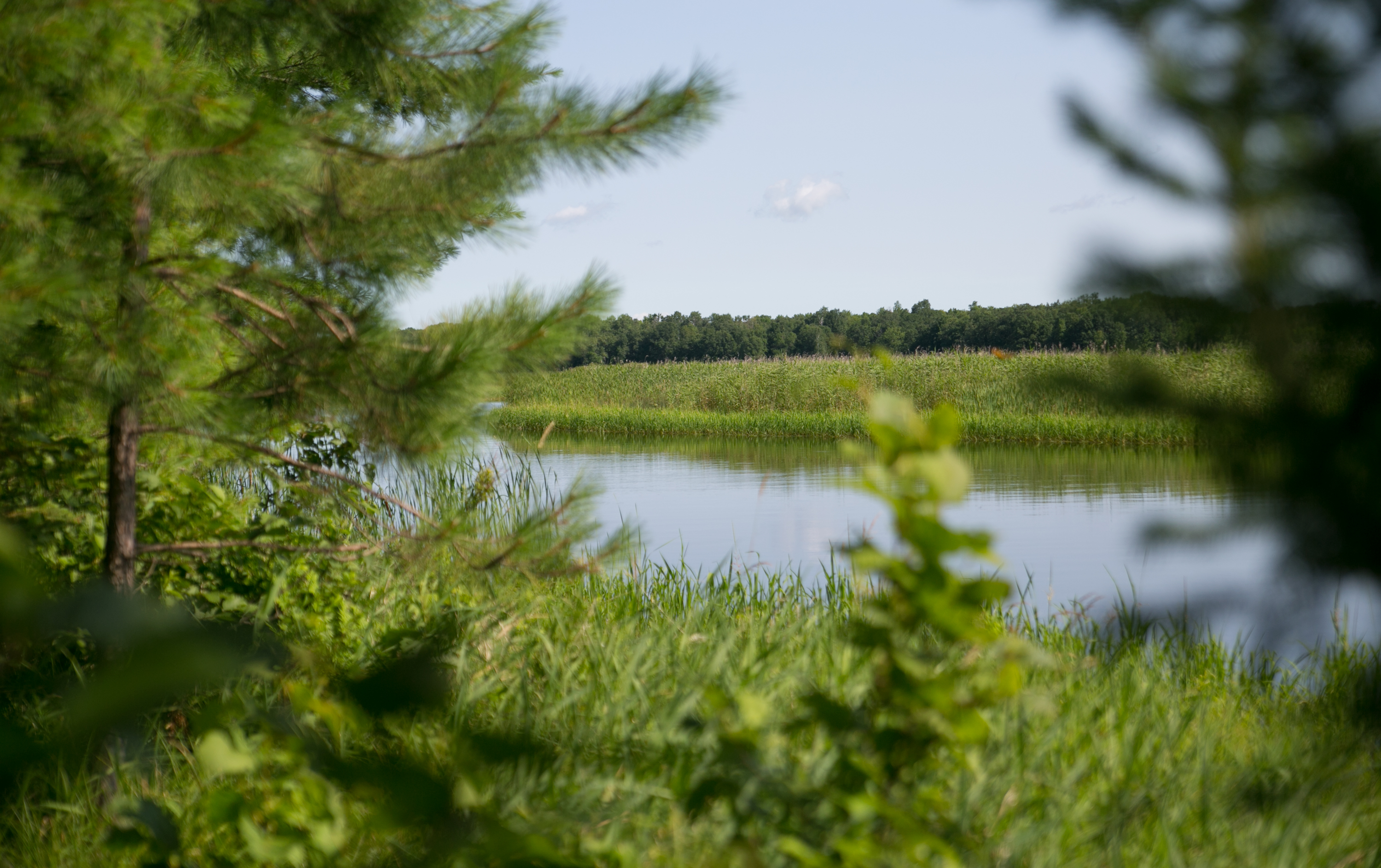
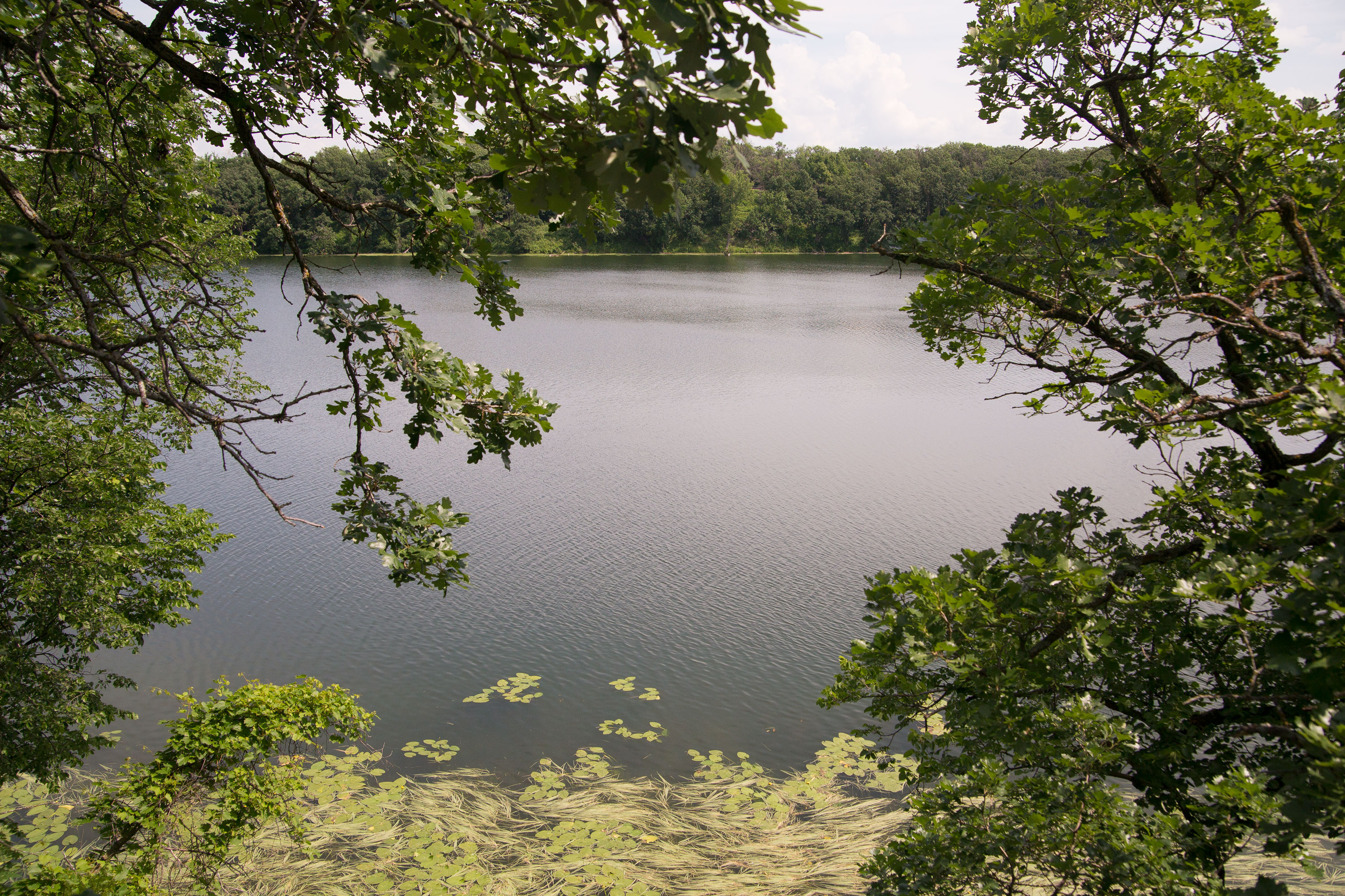
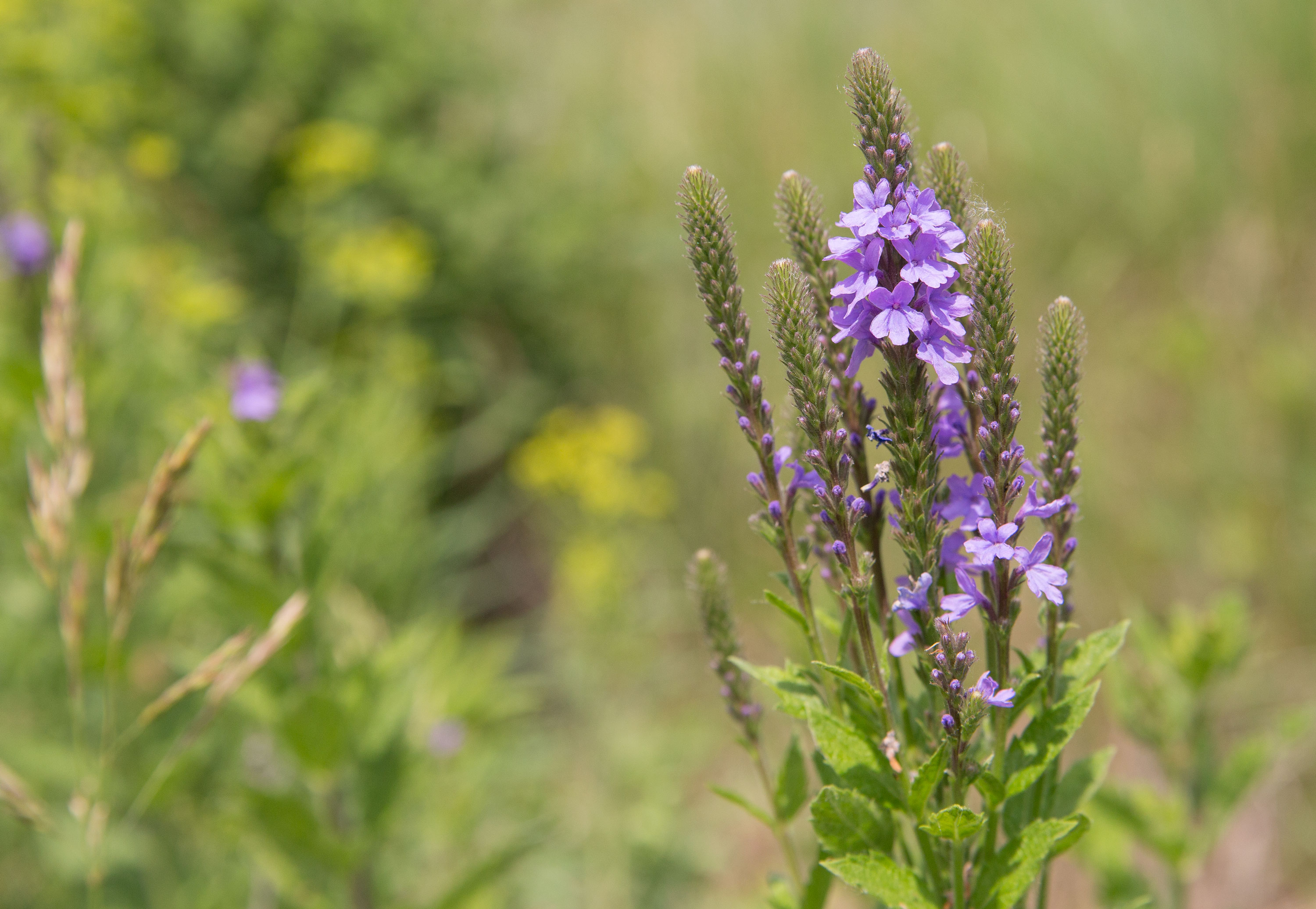
mccarthy beach was in a weird spot. i was going to pick it up a month ago on my week-long jaunt way up north, but it was just too much out of the way. so we had to pick it up now, and it was still weirdly out of the way. but what a nice park it was! the ranger pointed us to a short trail that ended up going to a small, peaceful lake.

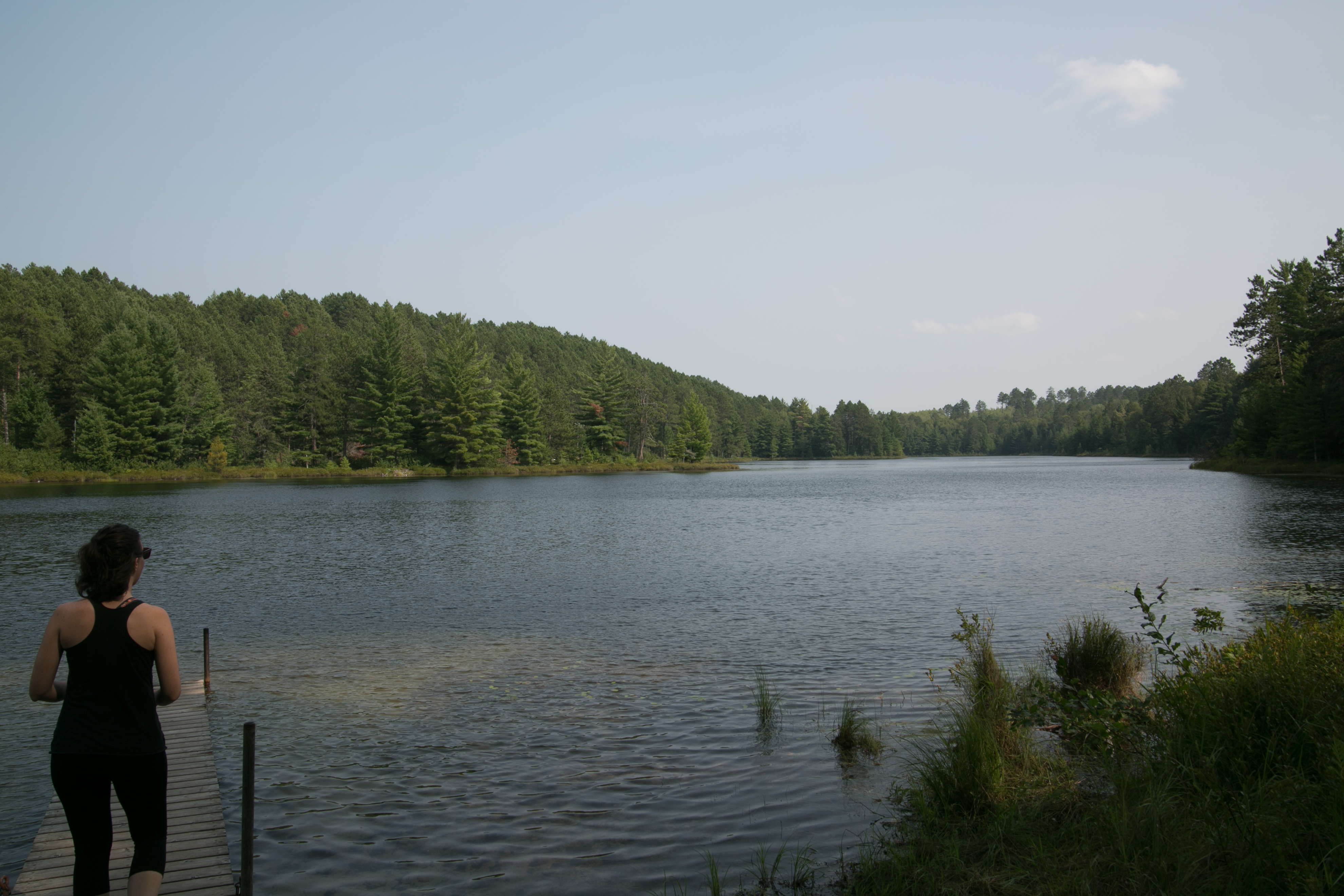
it was in the middle of prime “up north” lake country, and it was a nice park that would be a great place to stop if nearby.

THEN. then.

google maps (lori haha) led us astray. google told us that we could continue on the minimum maintenance road and it would lead us back to our road, instead of going back the way we came (maybe 1/8 mile). well, after a mile of harrowingly driving through rocks, divots, potholes, mud, over small steep hills i feared i would get stuck on, we finally came out the other side. (this was about 3 hours after i told lori about my anxiety dreams involving driving up steep hills that i can’t get up. while we were driving over the minefield of this road, i exclaimed “this is my worst nightmare come true!” then maybe 45 miles down the road she started laughing and said “i just got the nightmare thing!”) well, we made it at least.
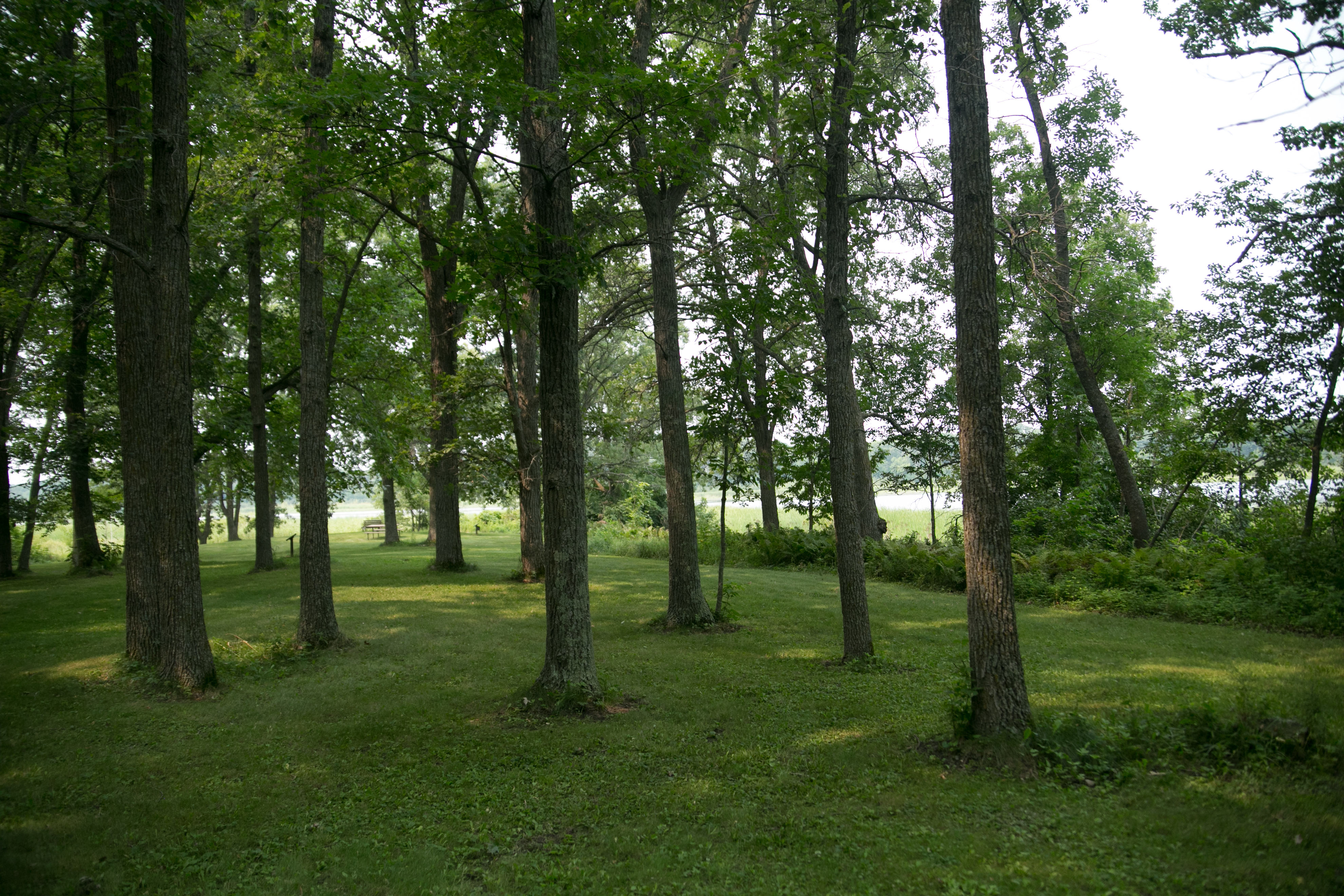
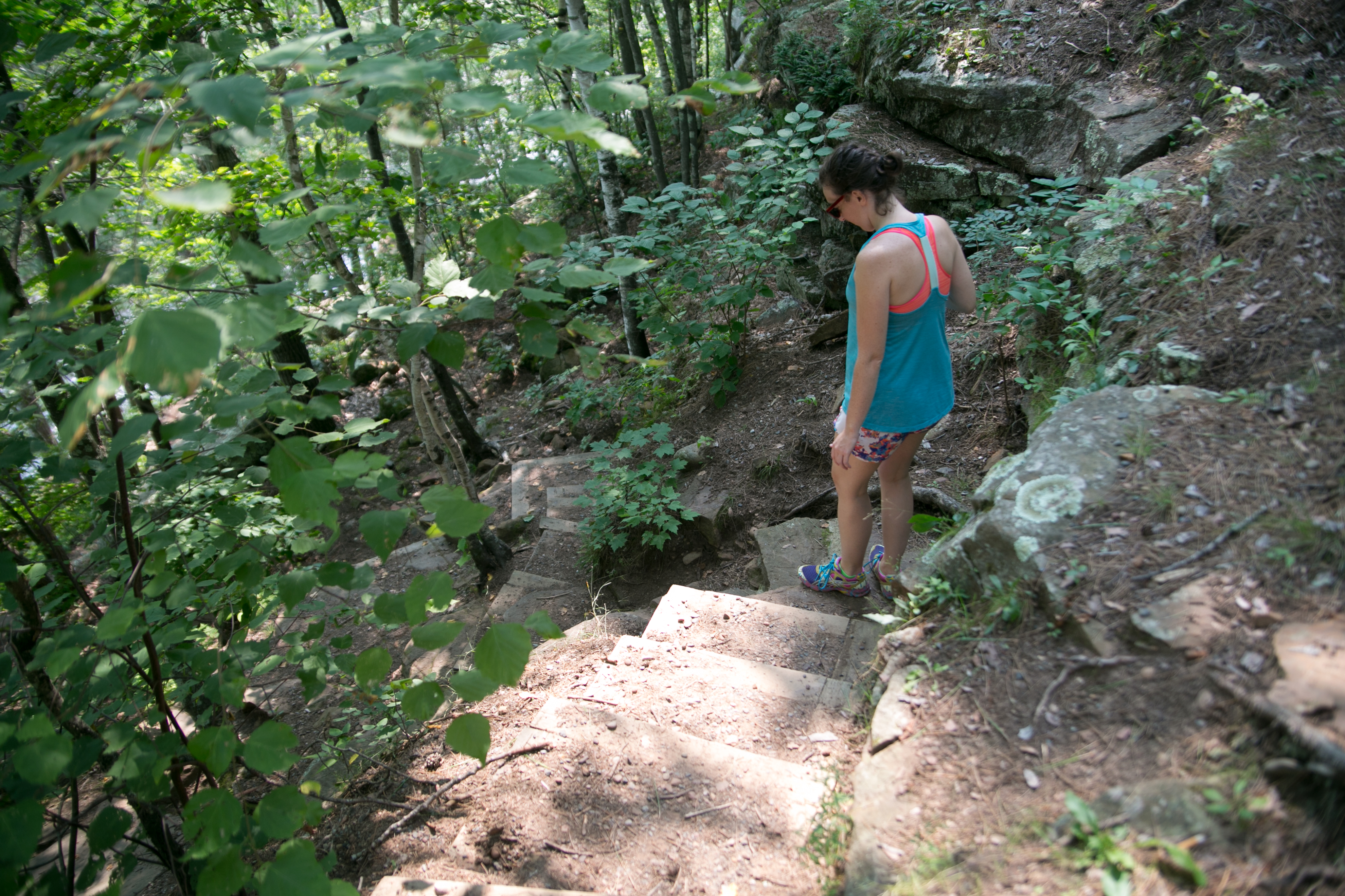
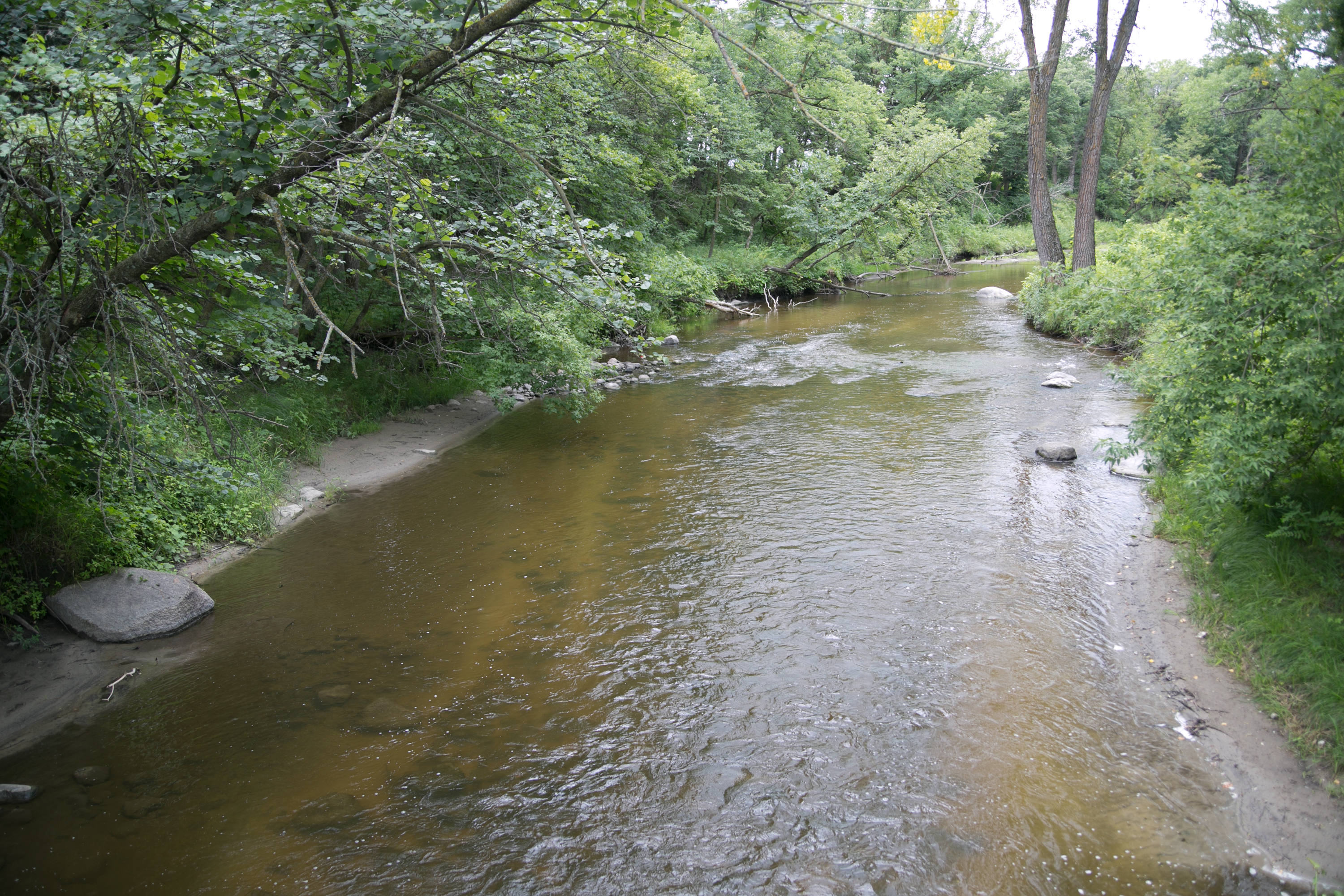
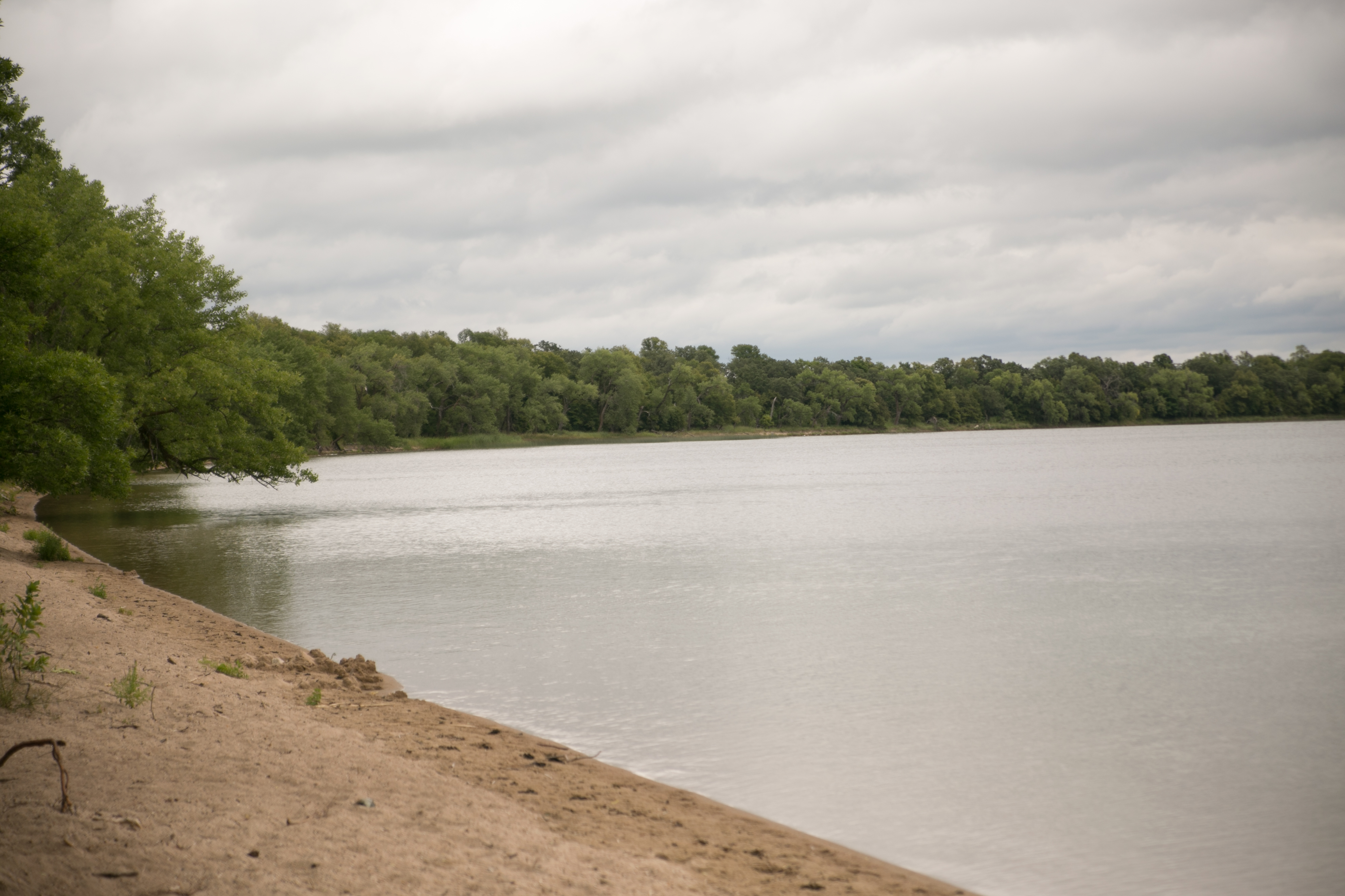
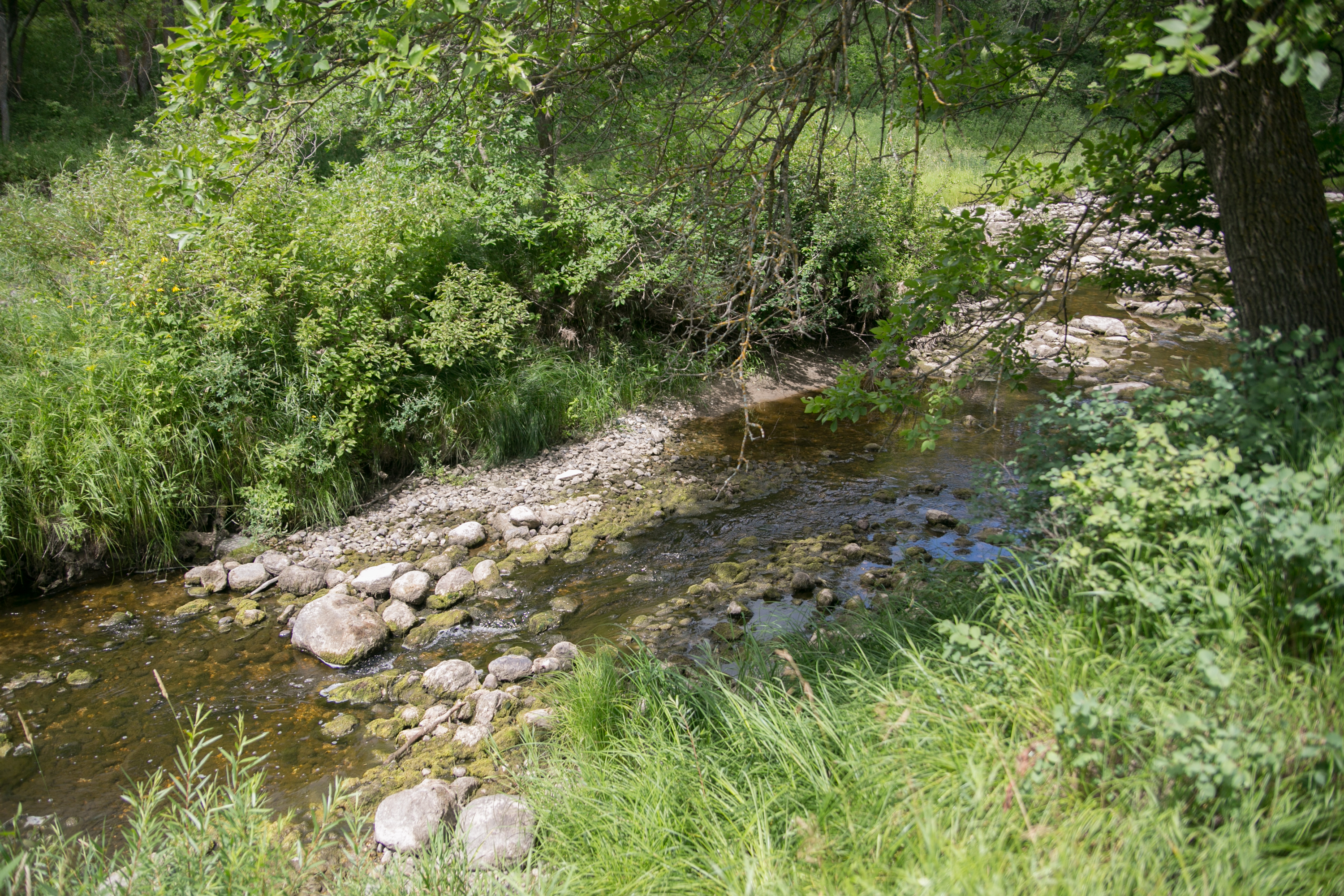
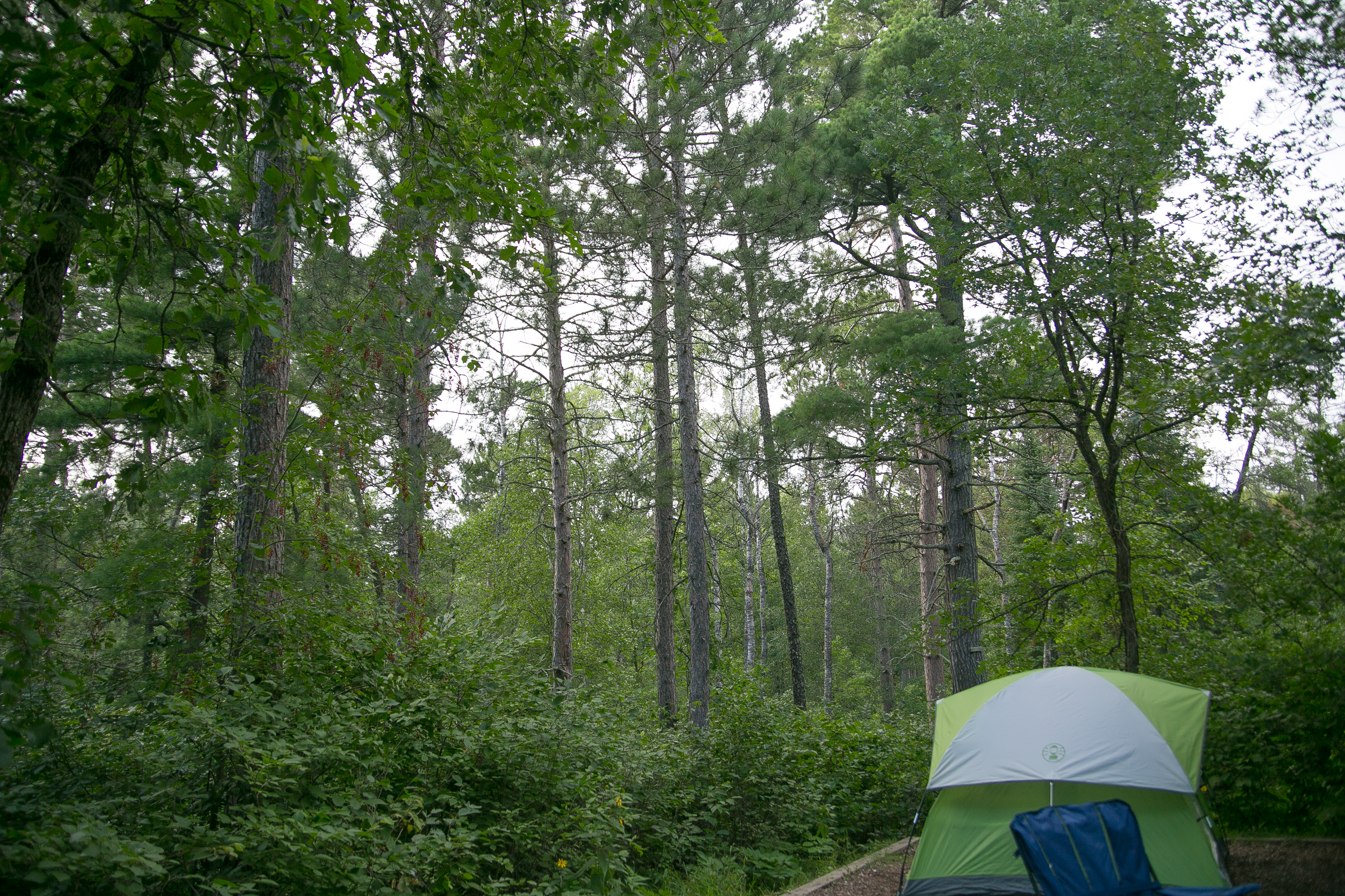
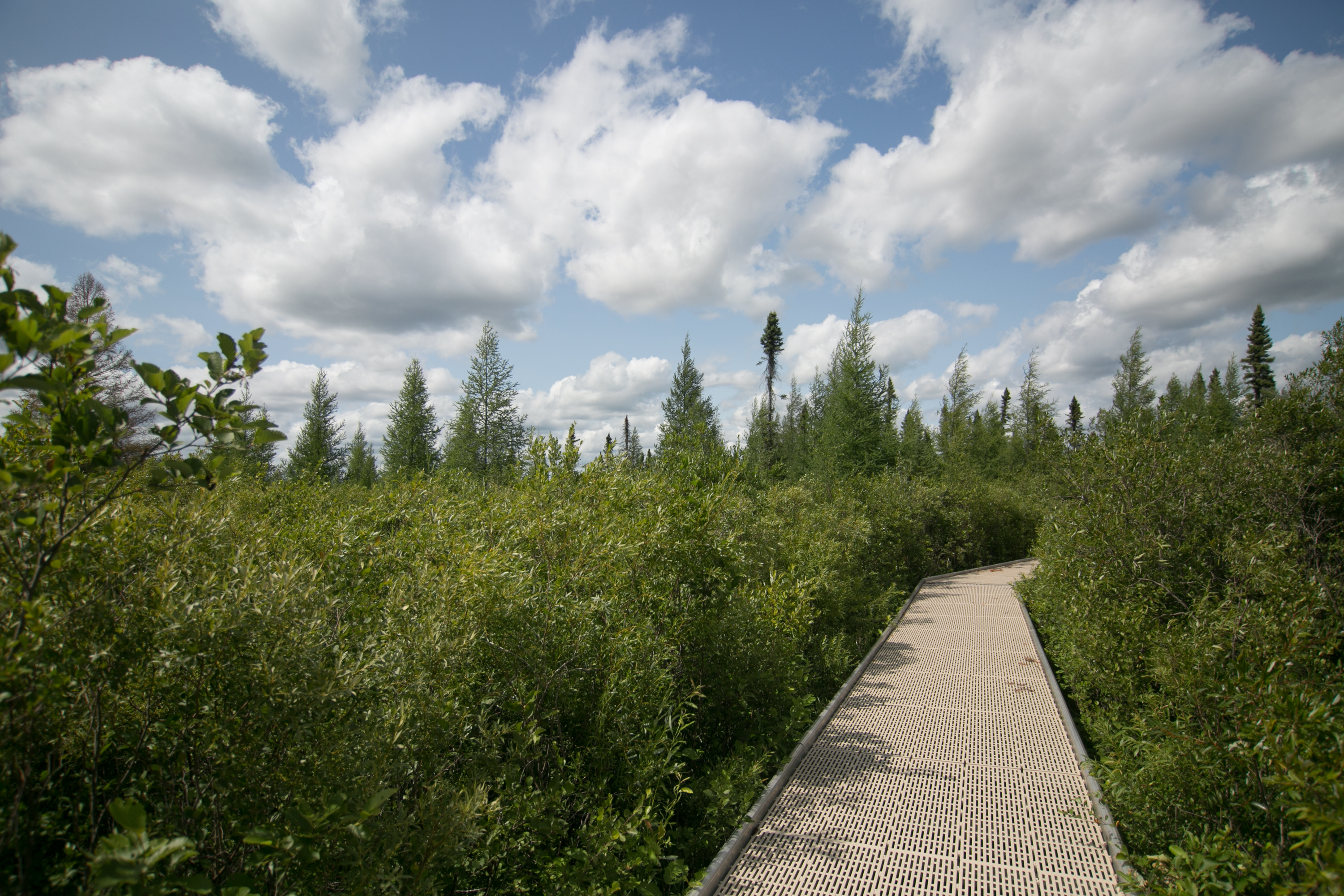
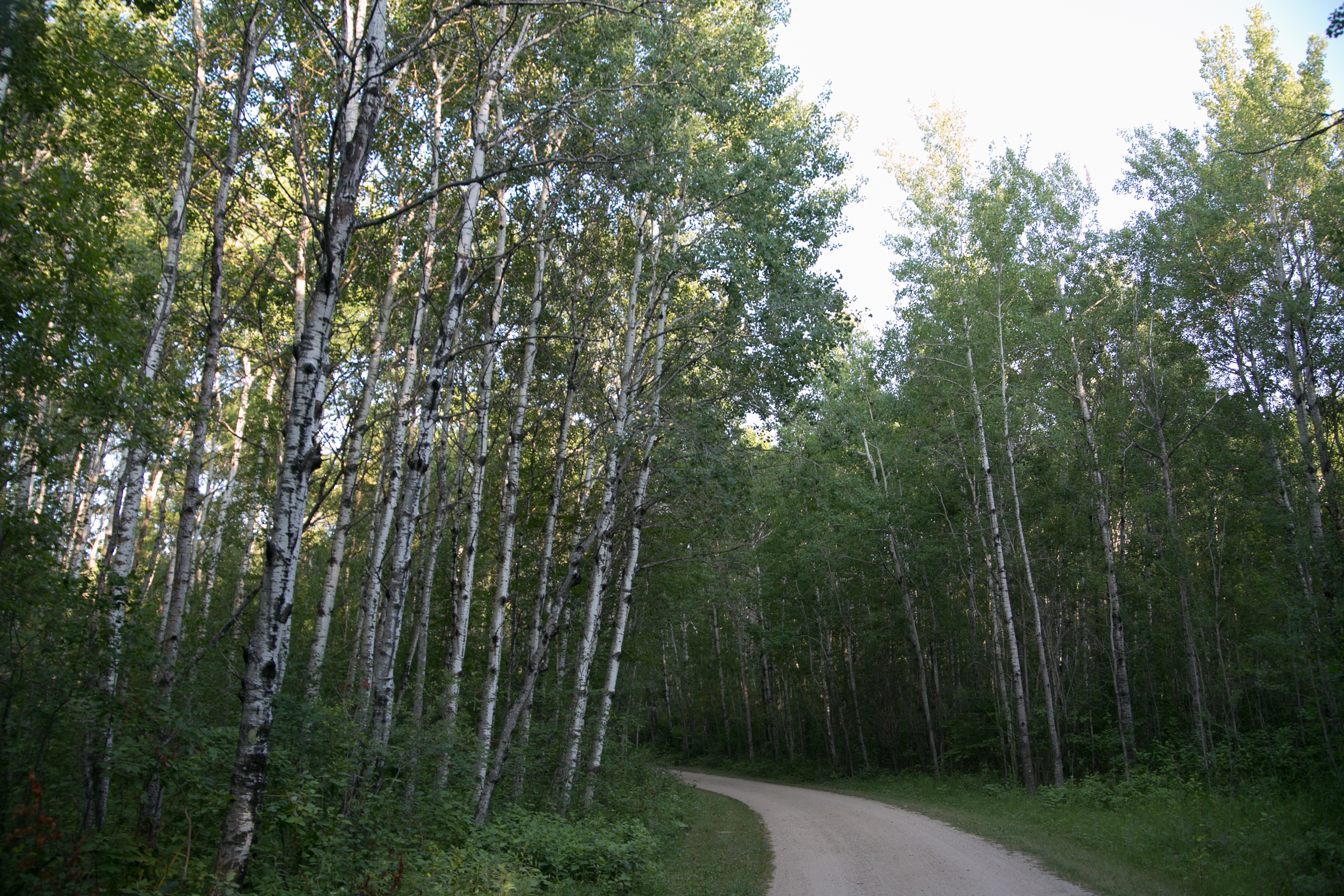
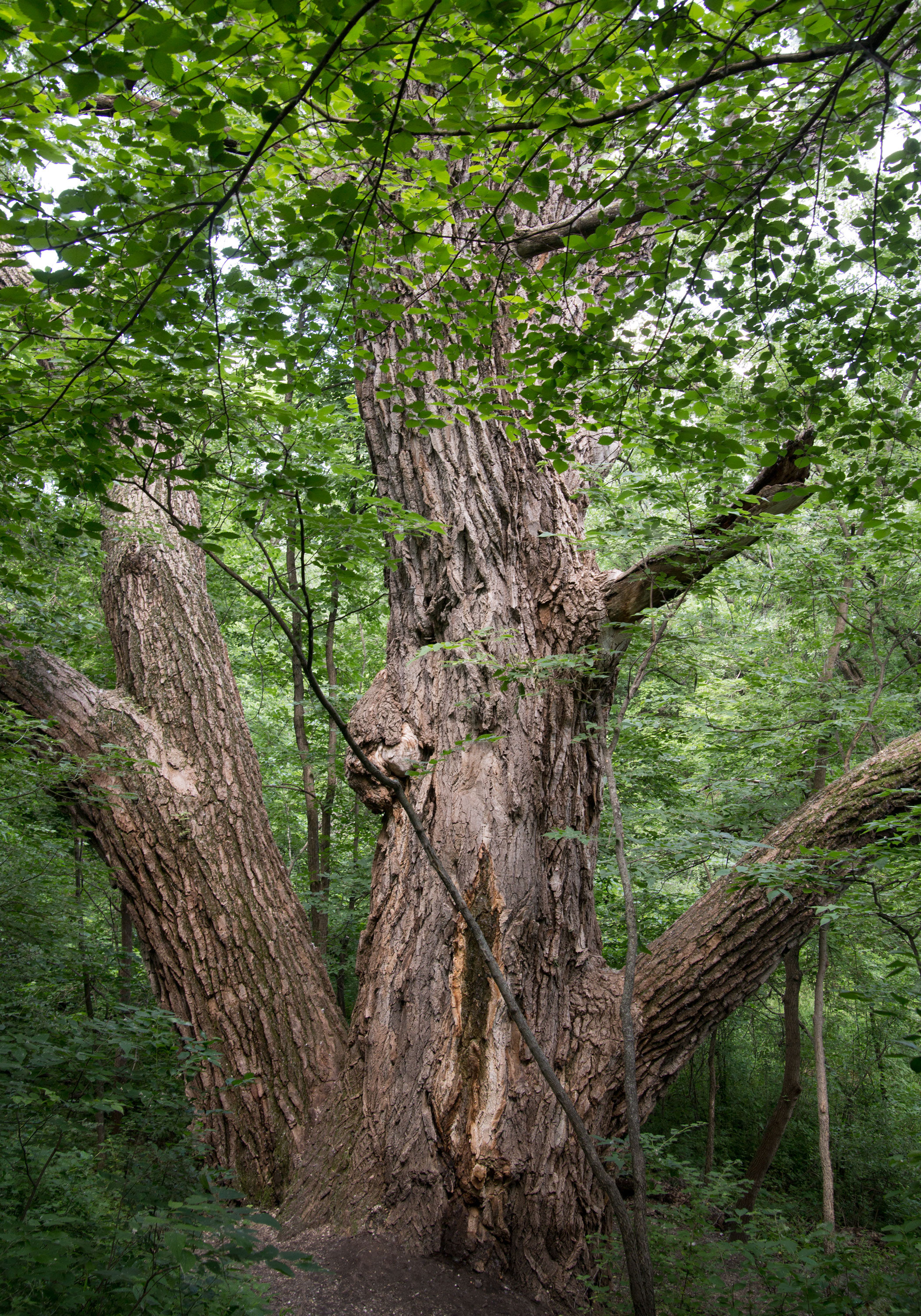
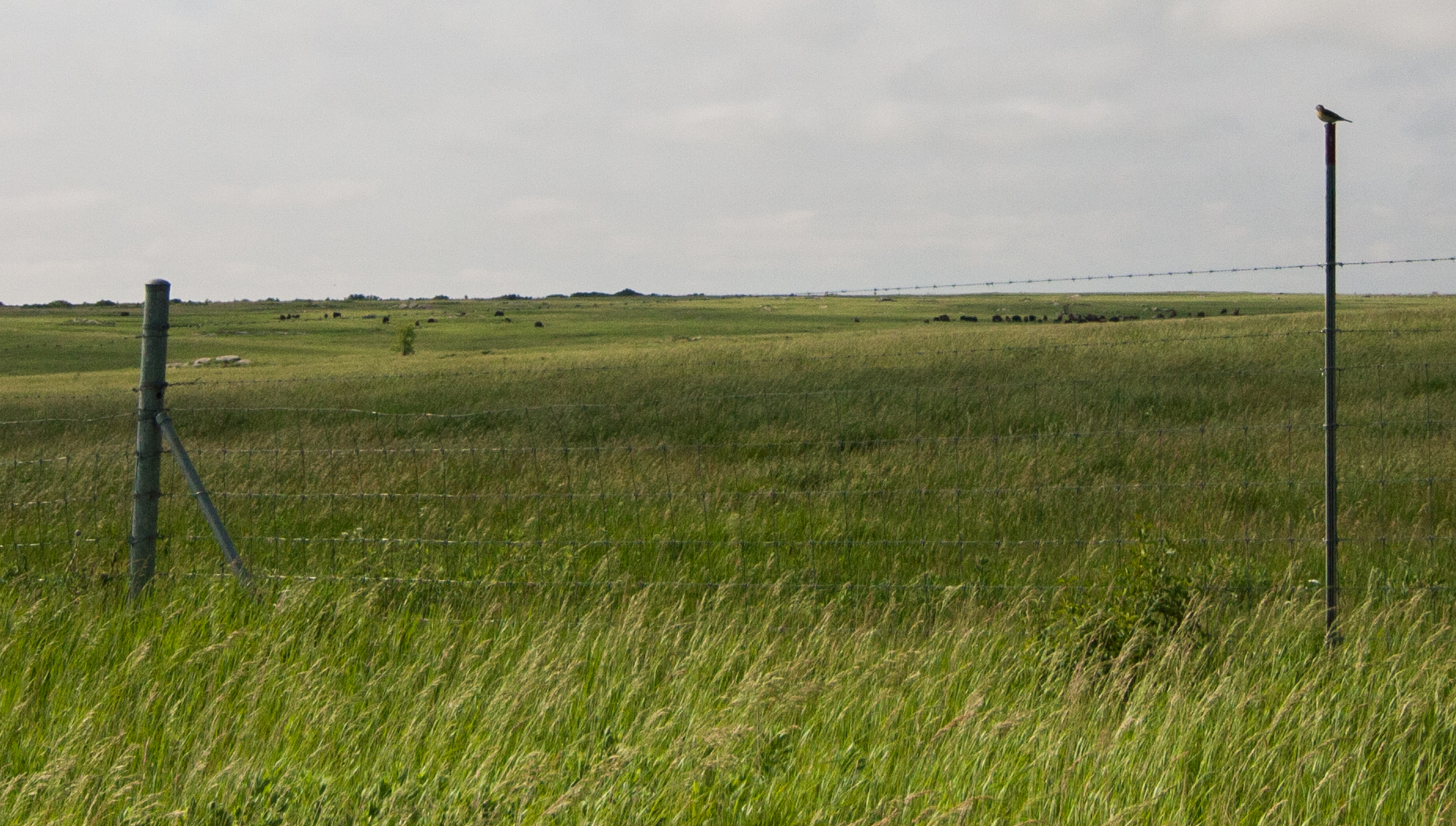
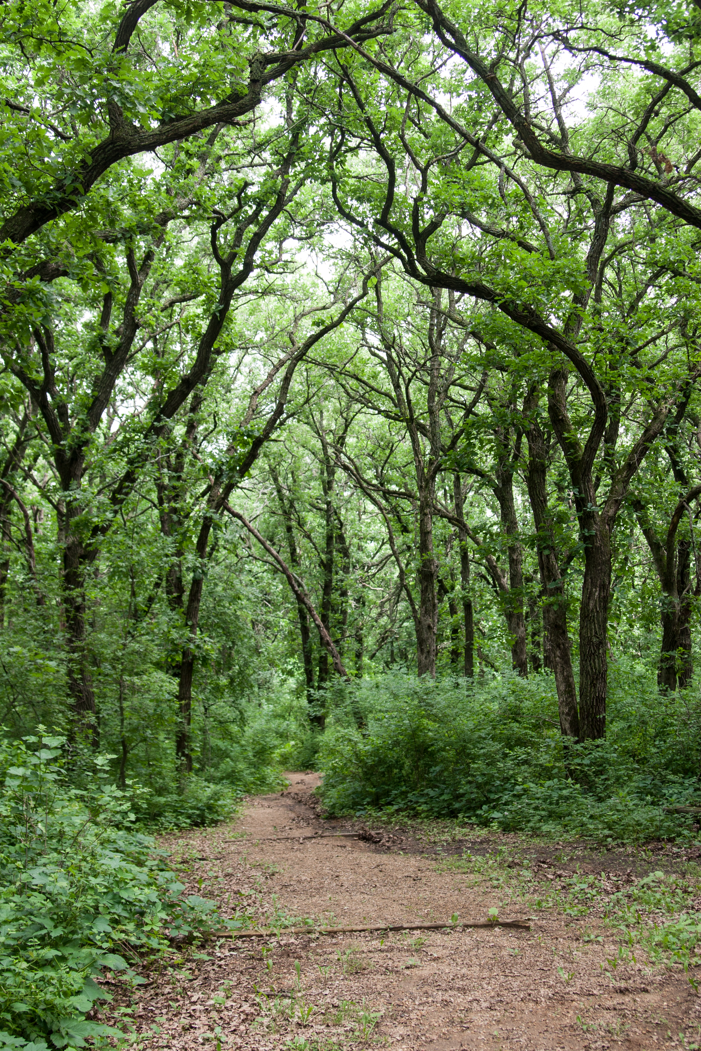
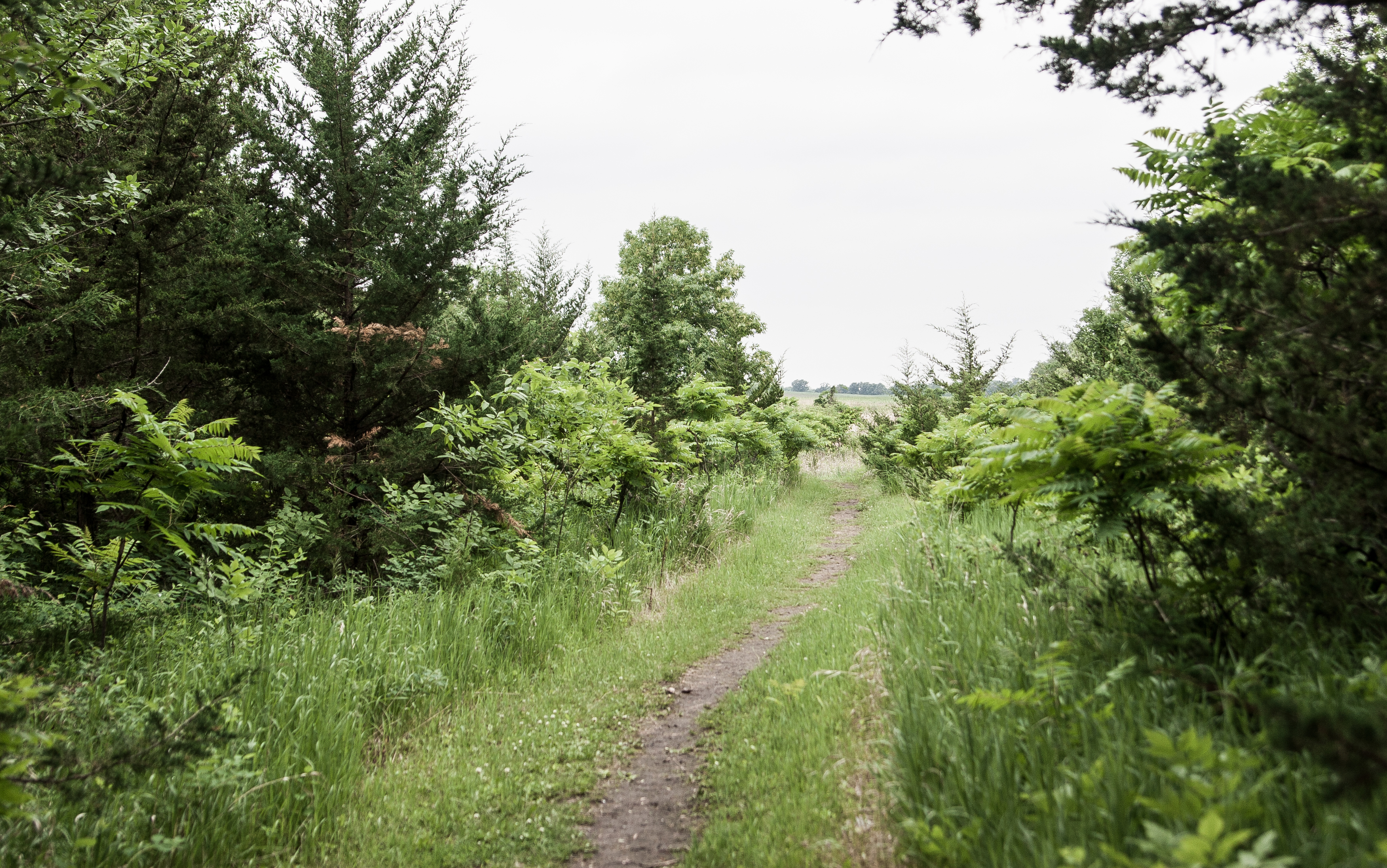
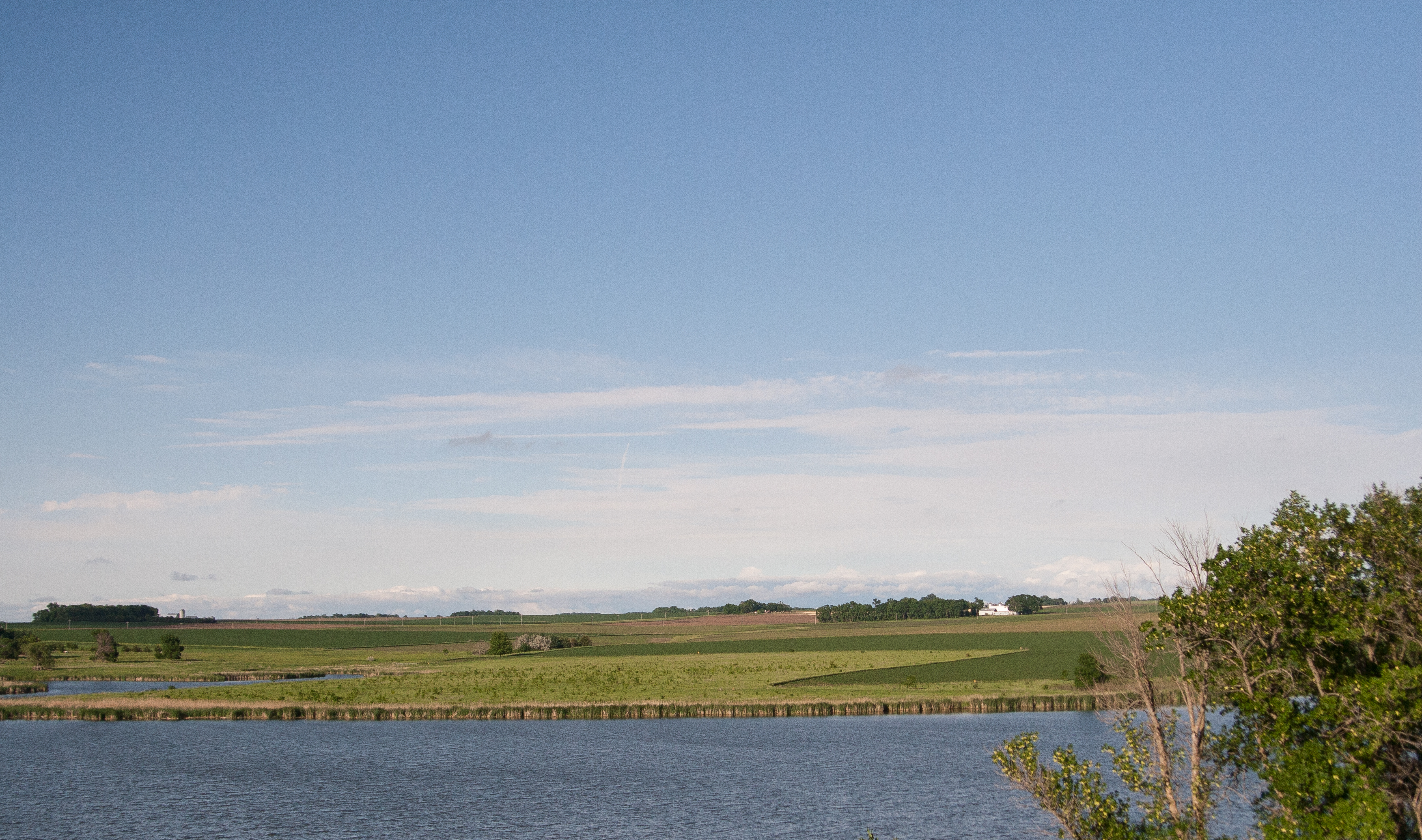
savanna portage

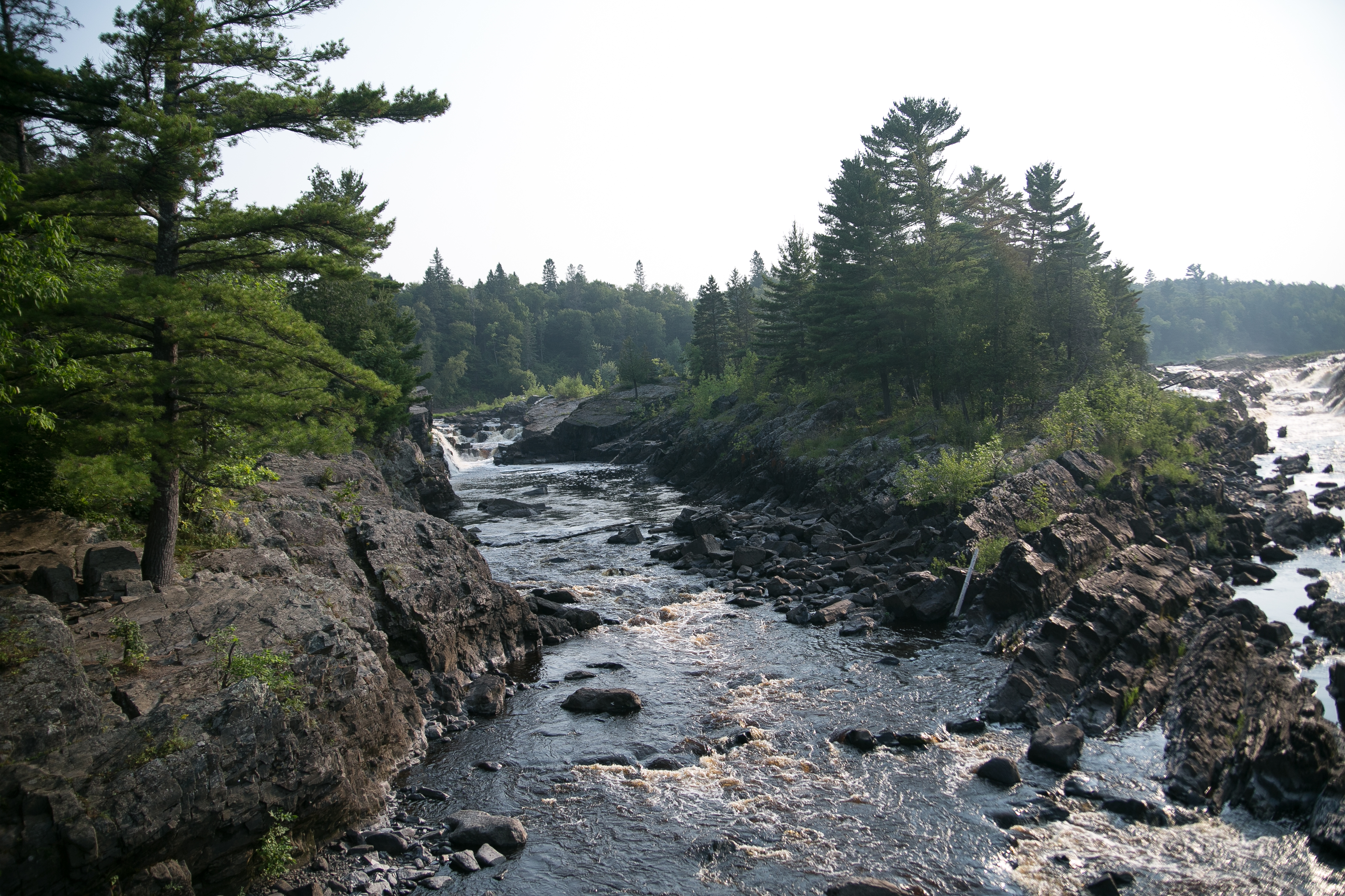
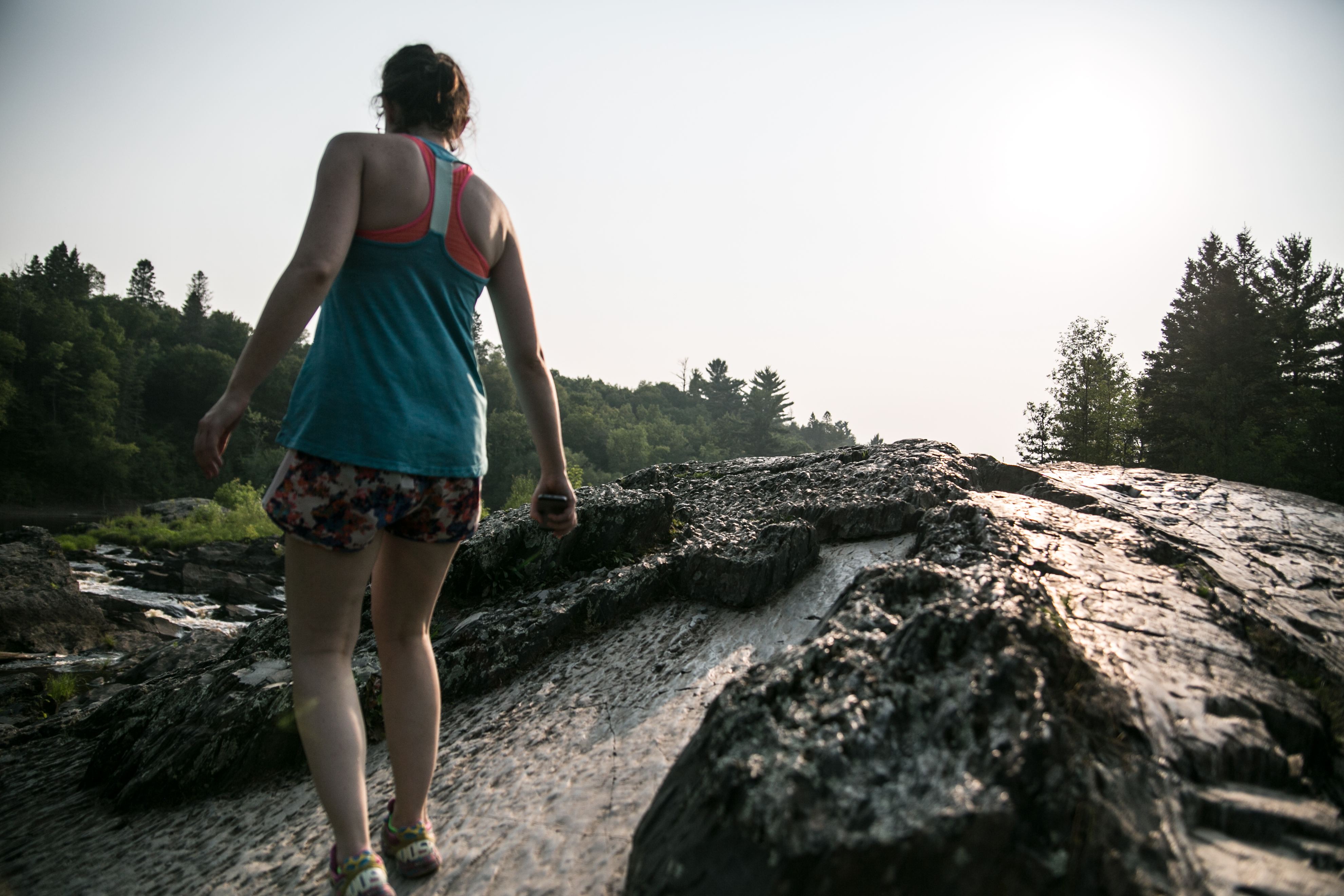
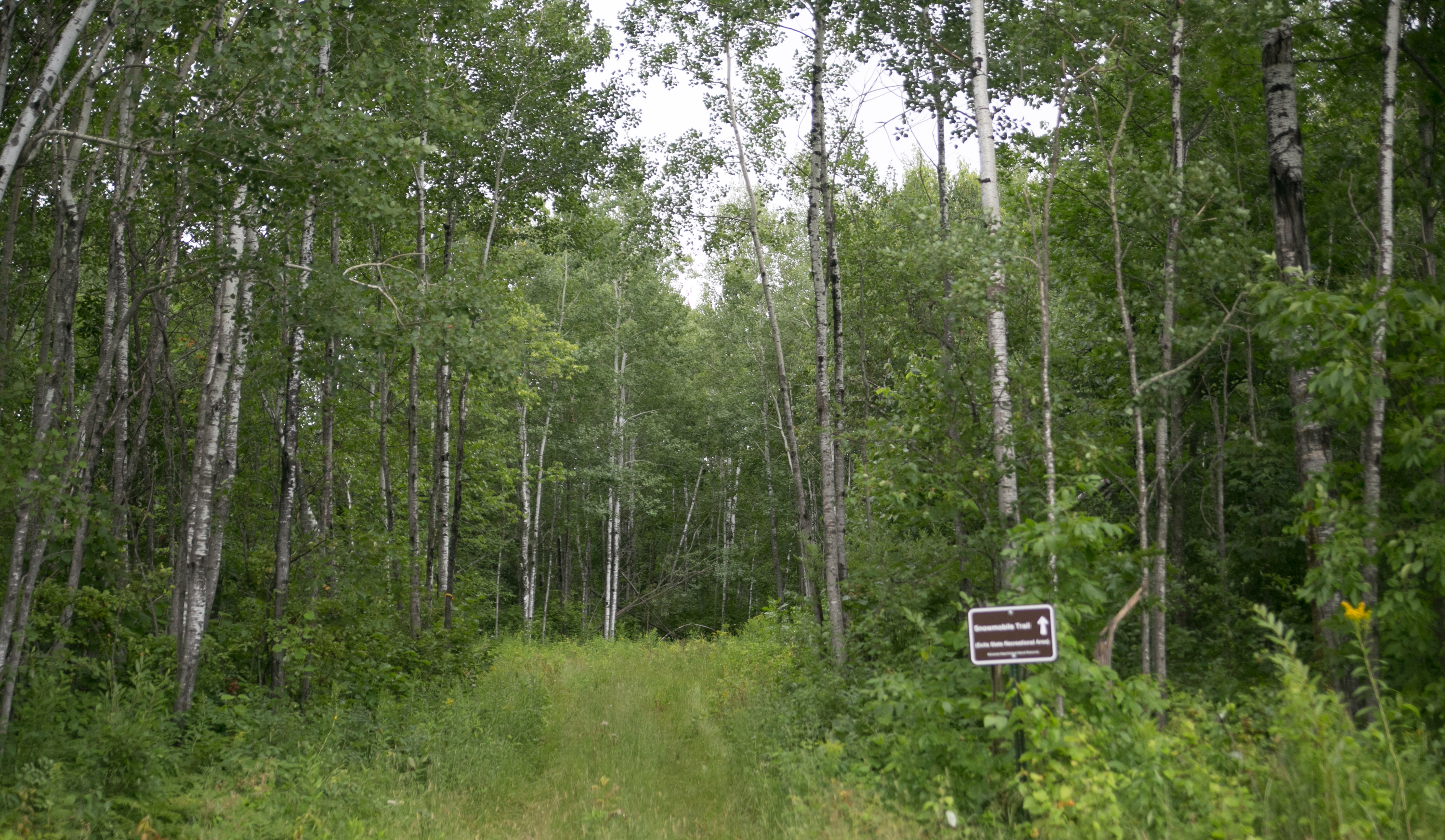
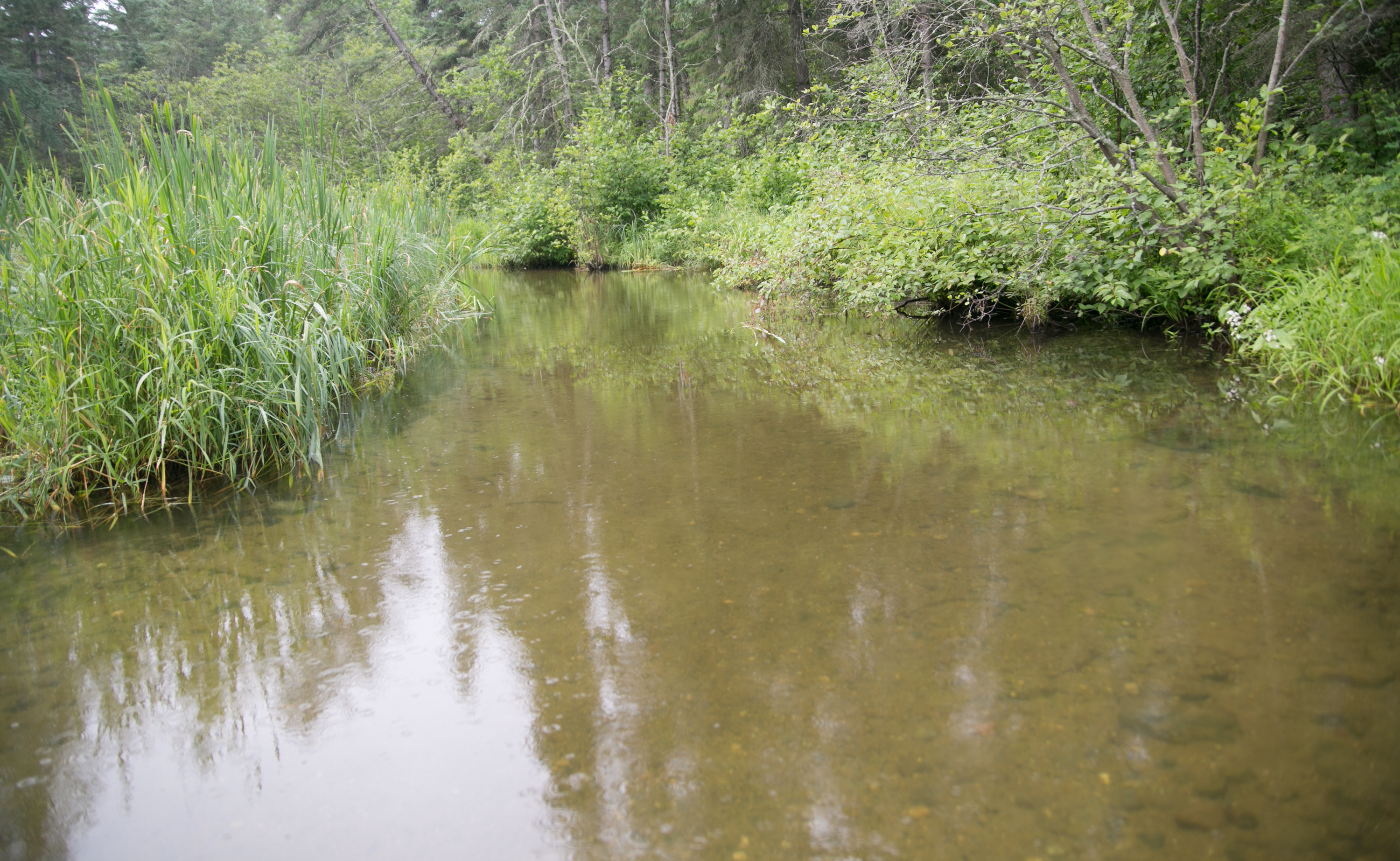
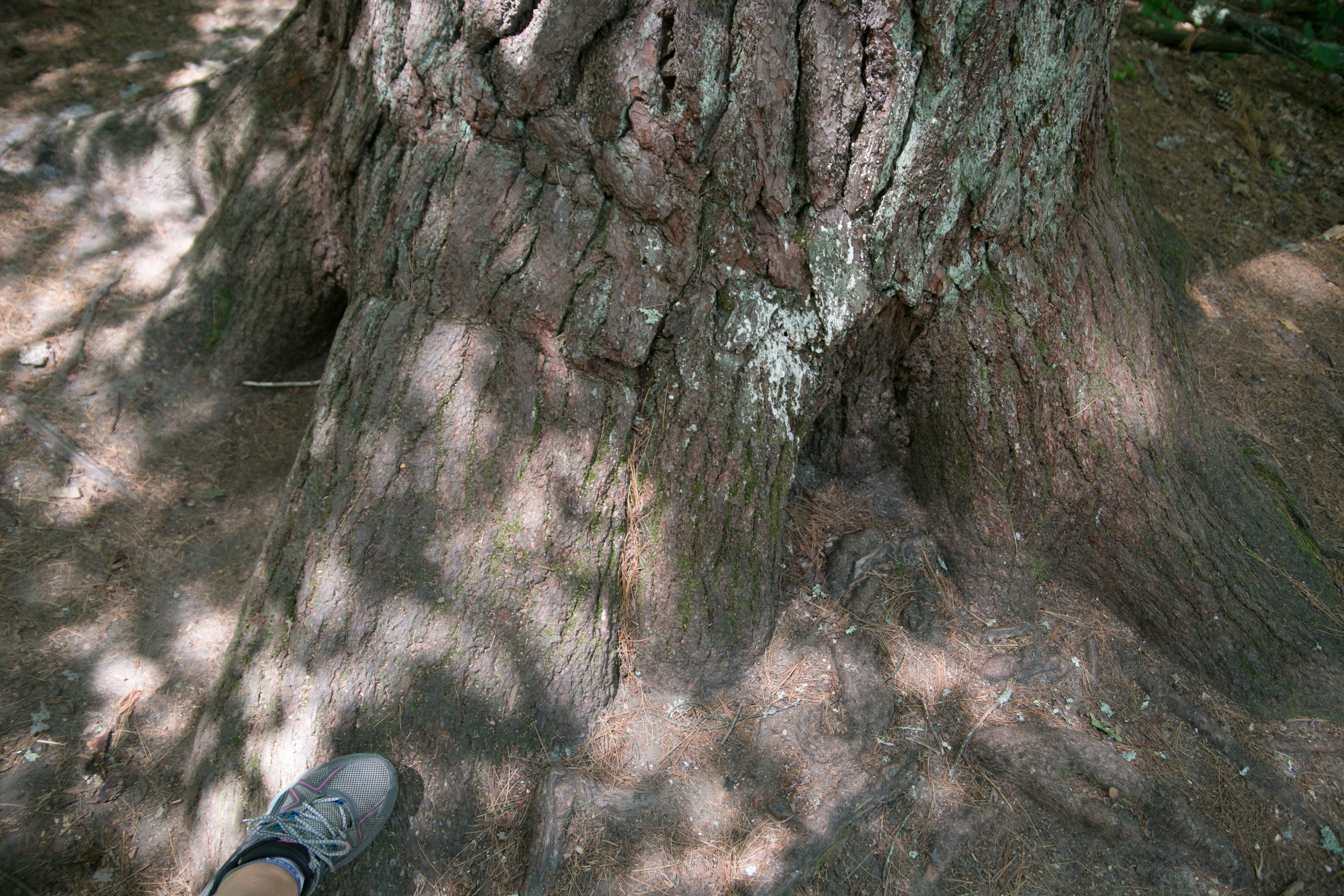
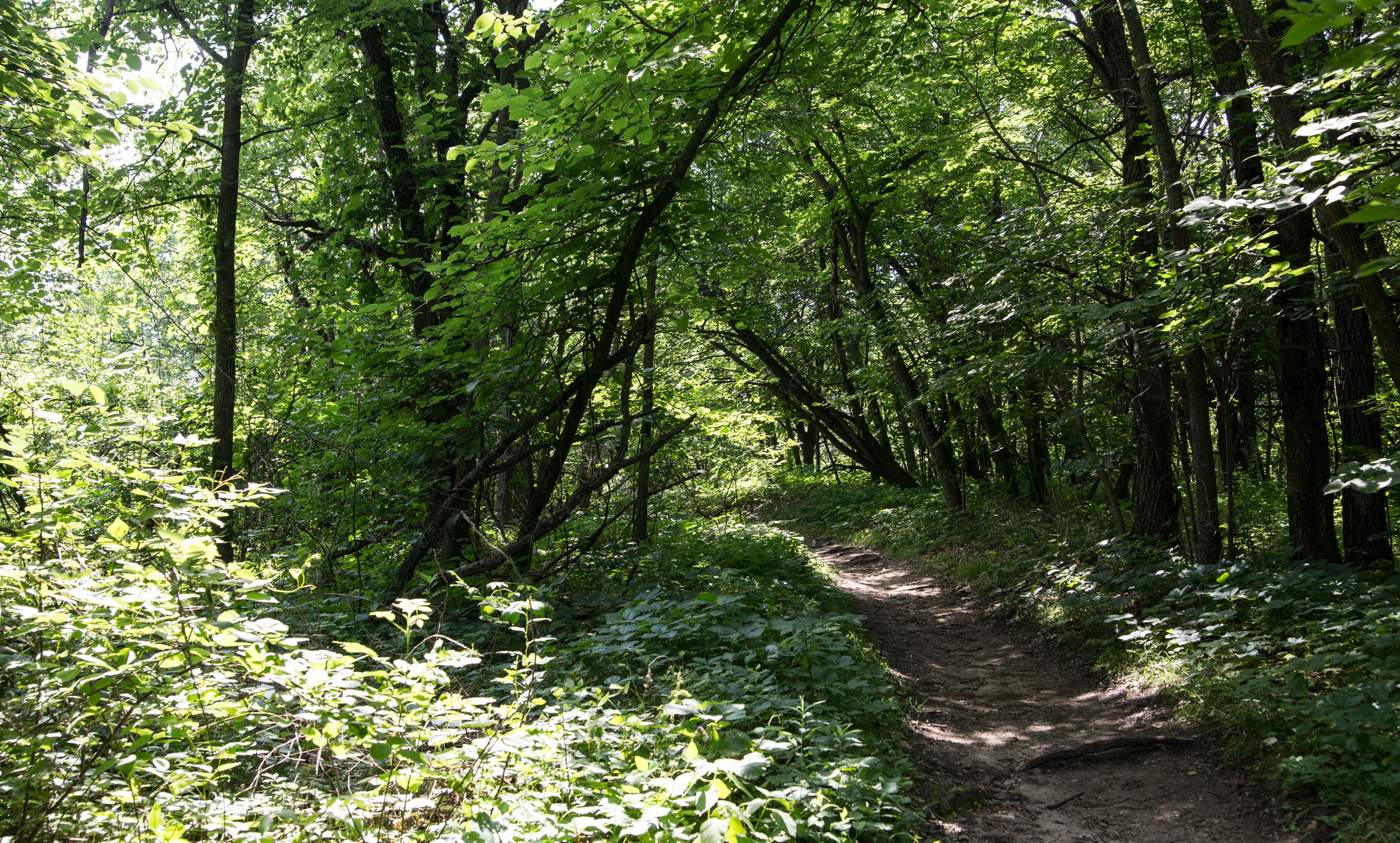
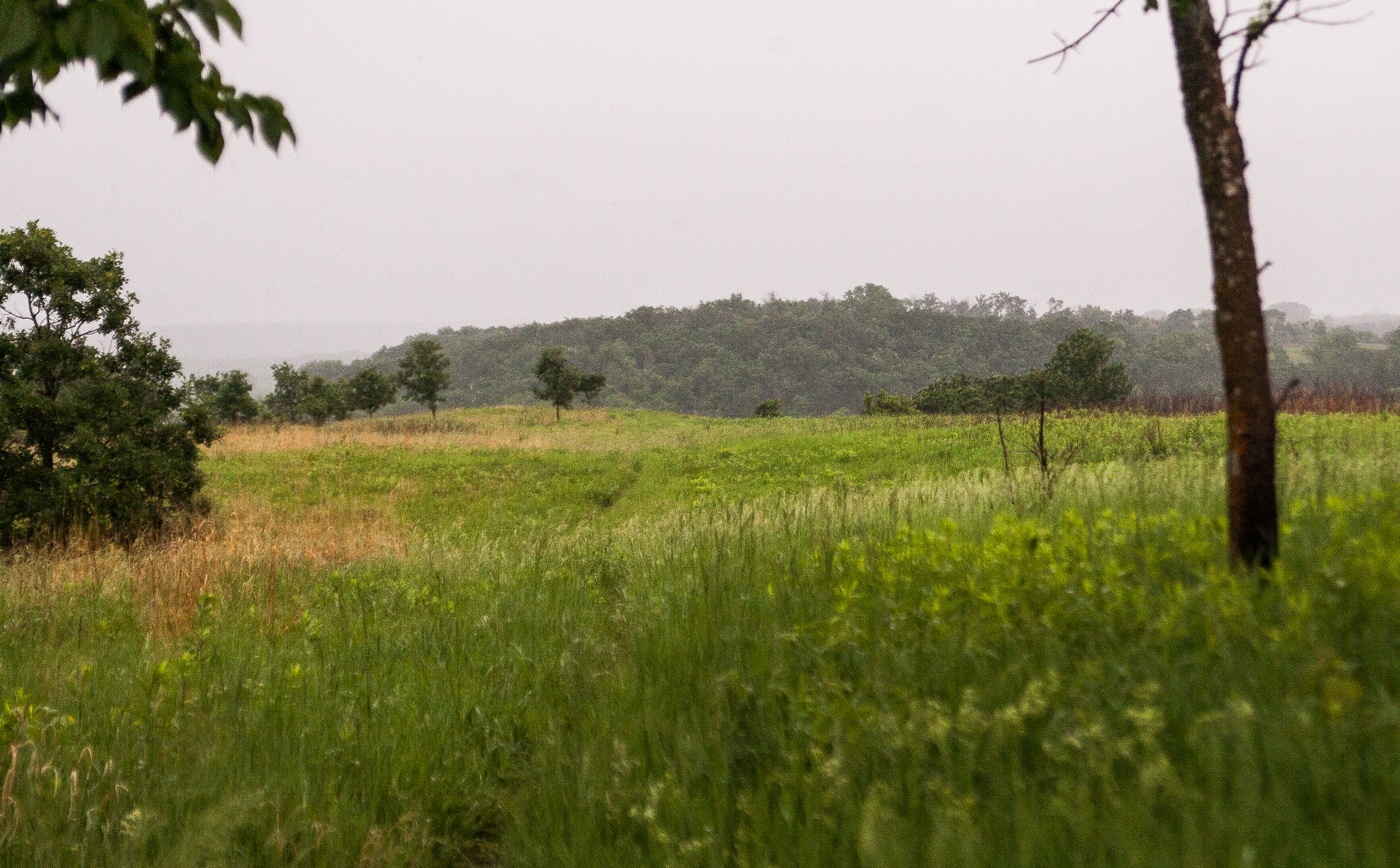
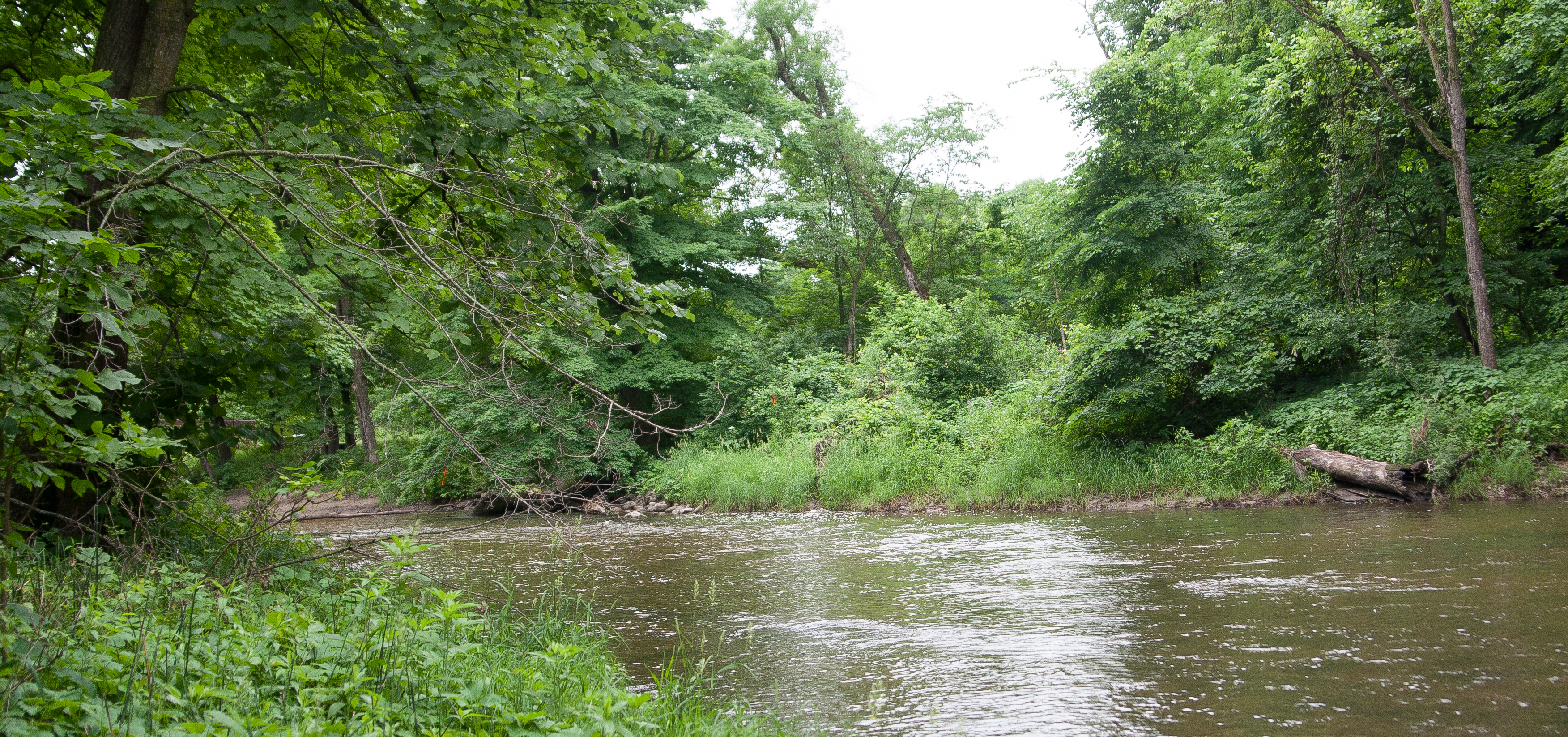
i was driving along when the dramamine finally hit me, so lori drove to savanna portage while i took a road nap, where we checked out part of the portages that the frenchmen used to transport beaver furs. we also predicted that we stood on the spot where the three watersheds in minnesota meet!

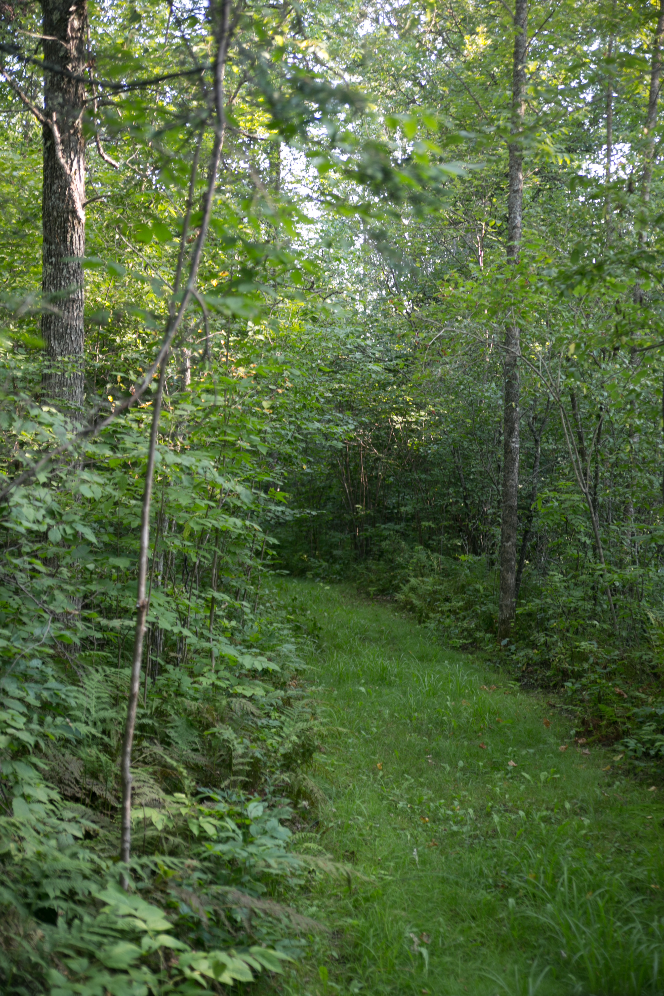
(portage trails. perhaps this is where a frenchman stood!!)

and that was it for planned parks. we headed down 210 to hook up to 371 in brainerd and were driving through ironton when i saw the sign for cuyuna, which i HADN’T visited yet. i was like, how far off the beaten path is that? after a 1-block navigational consultation with google maps, it was 3 MINUTES away. i asked lori if i could go check it out. it would be silly not to.
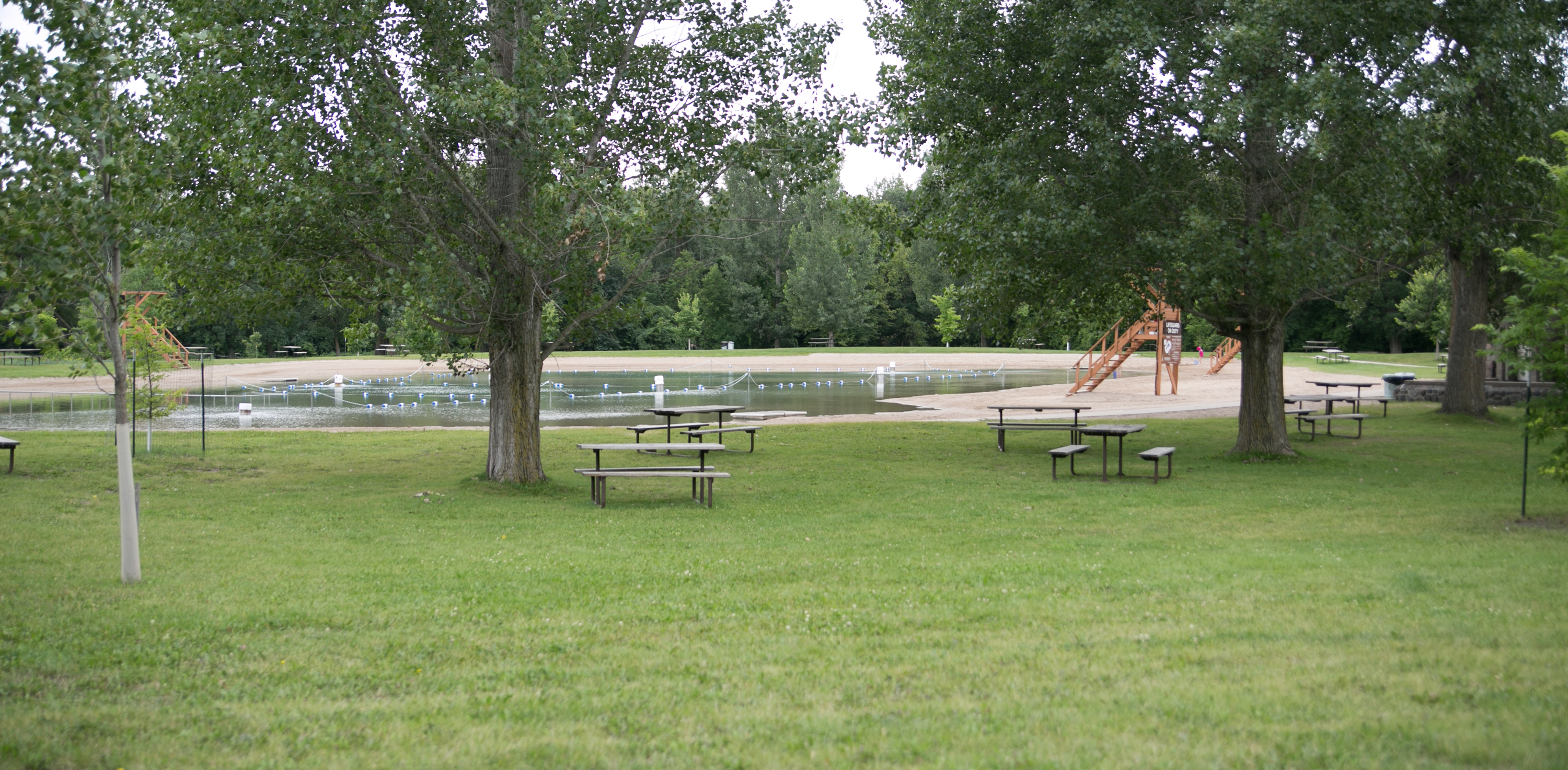
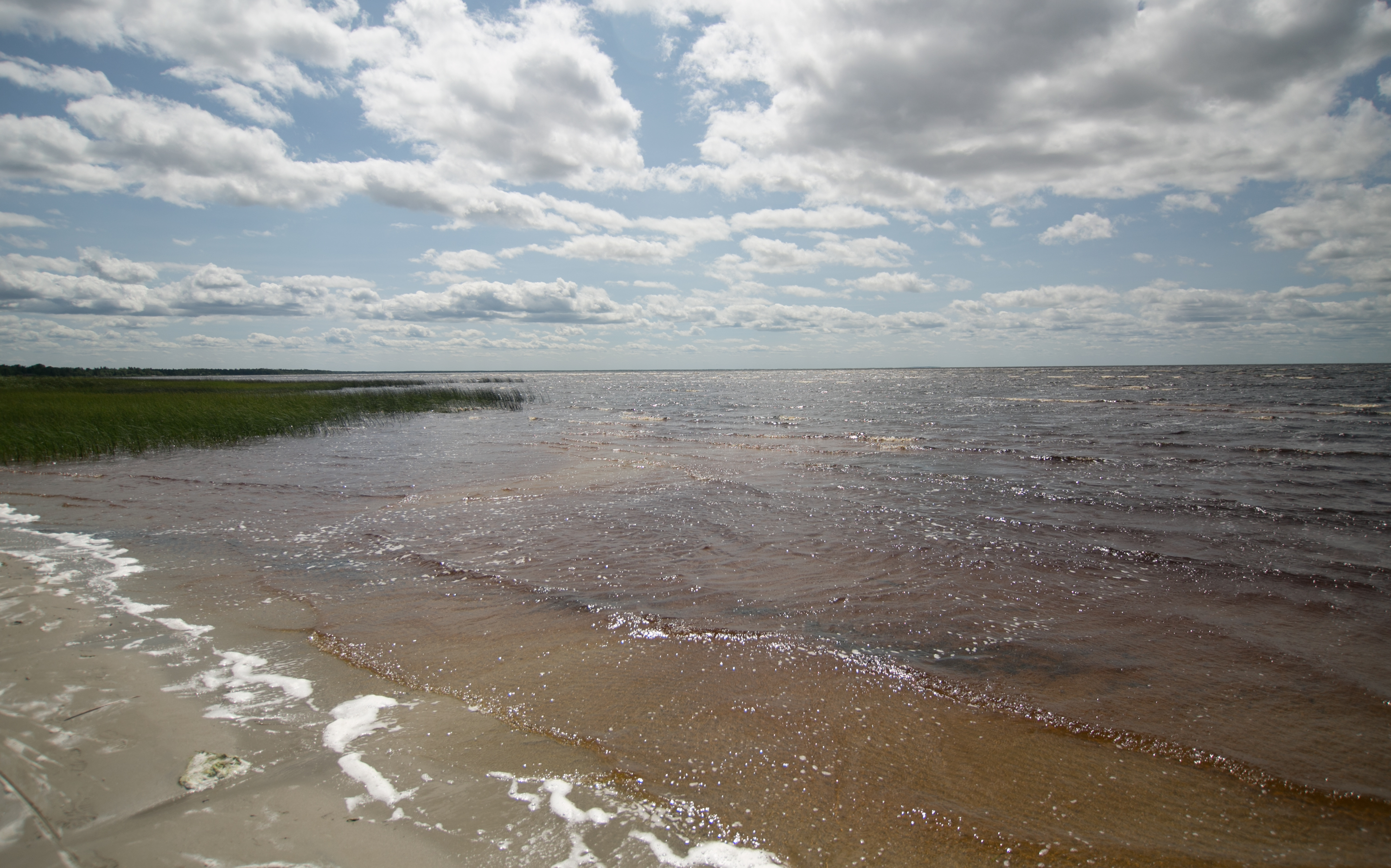
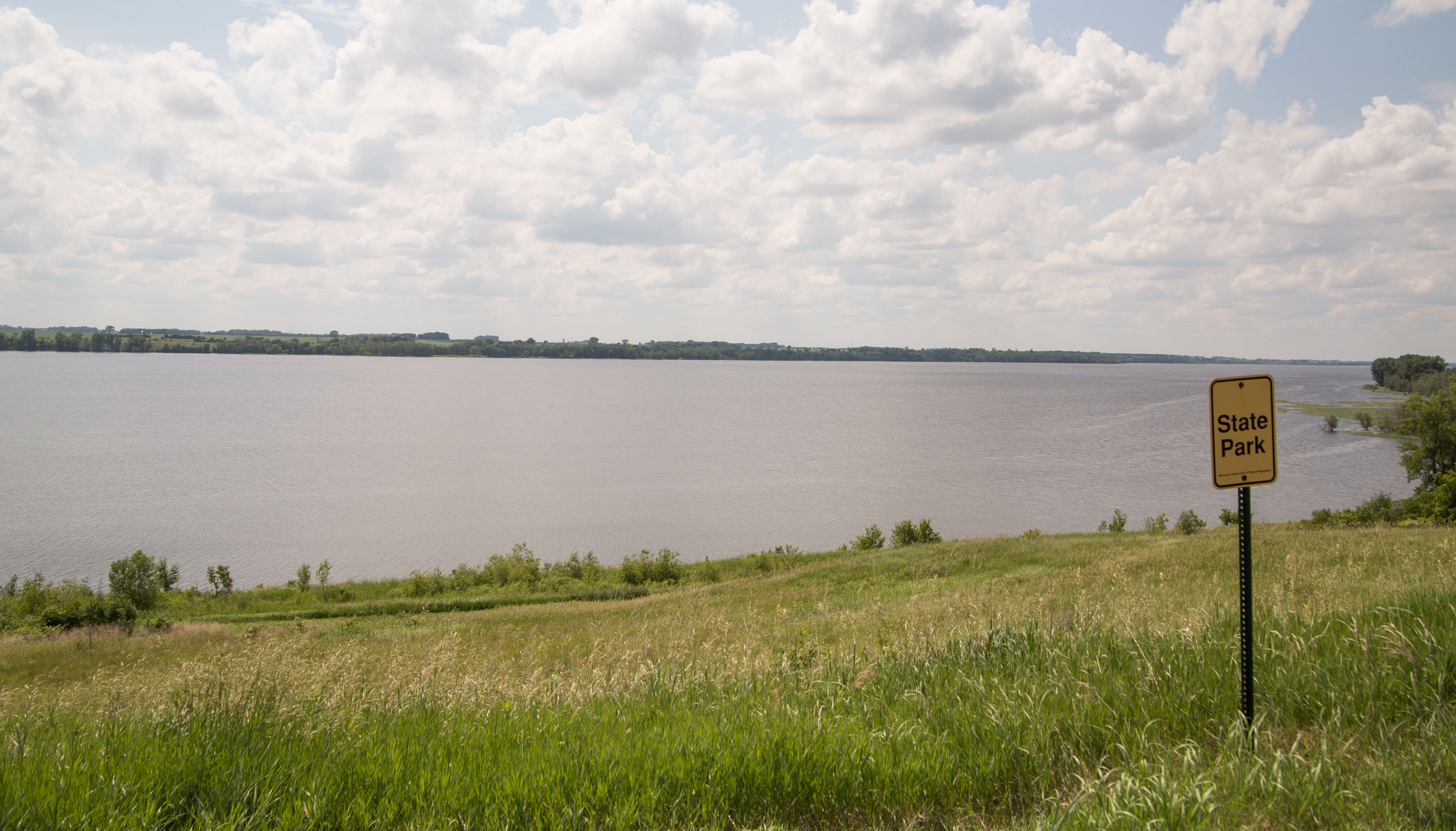
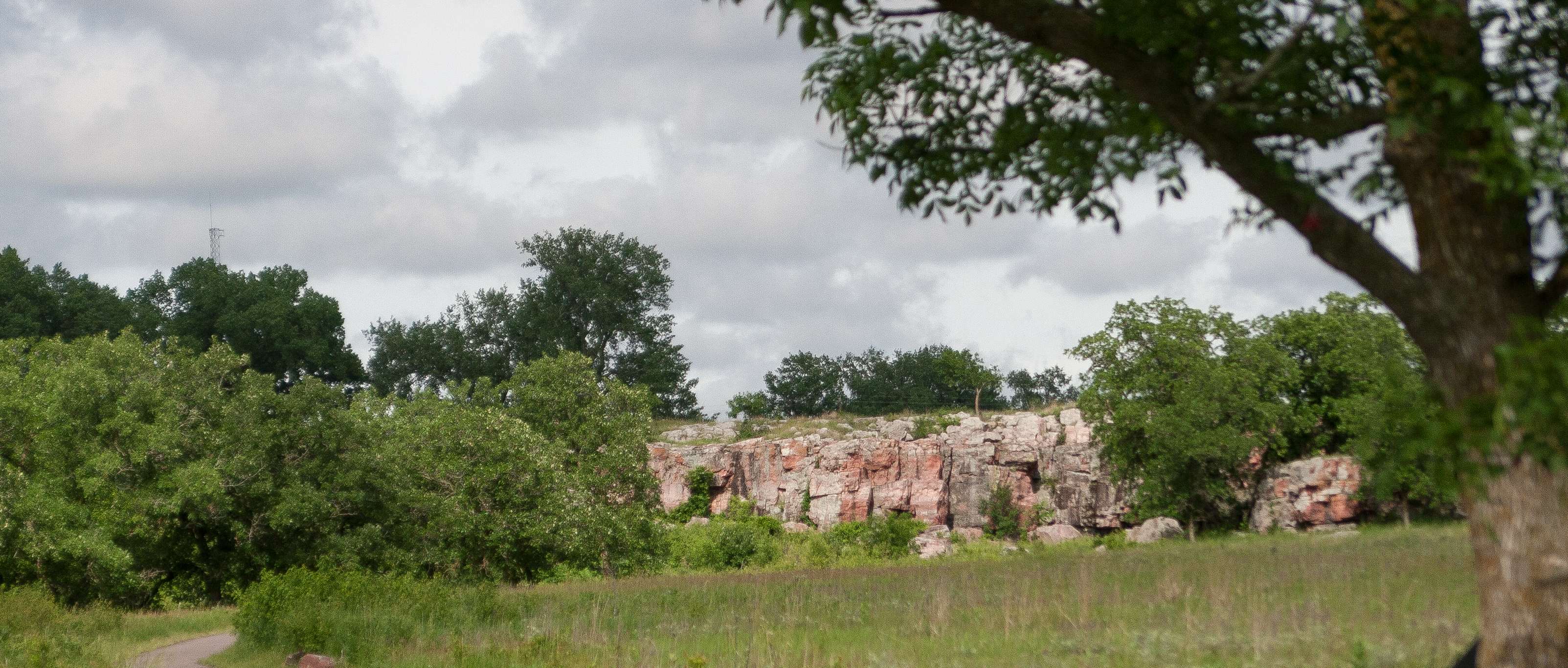
cuyuna country

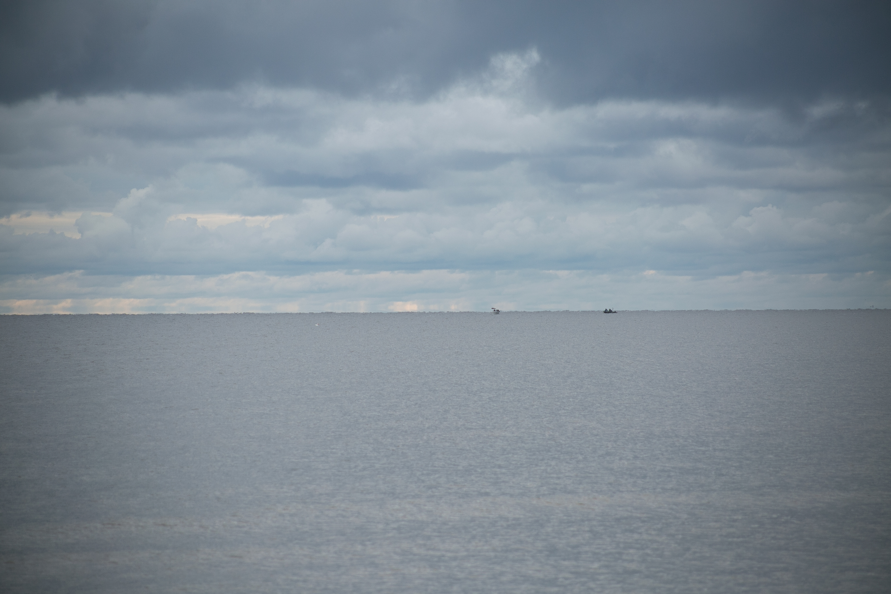
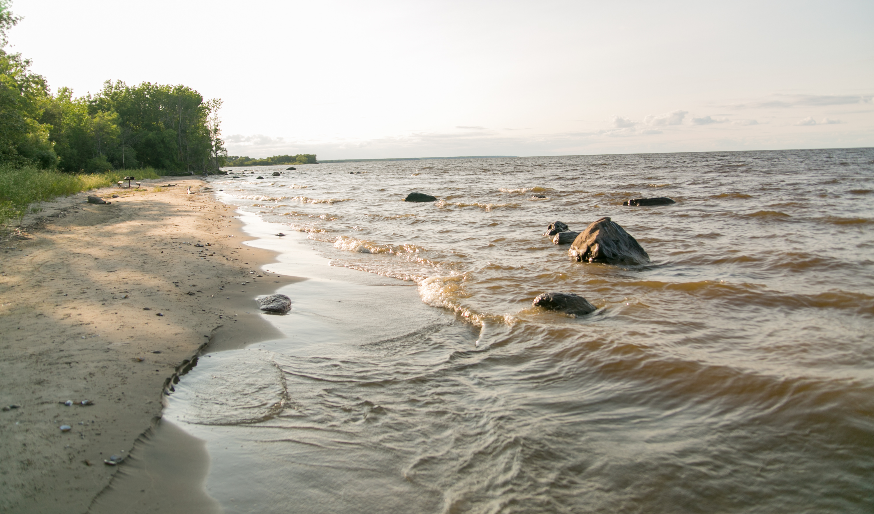
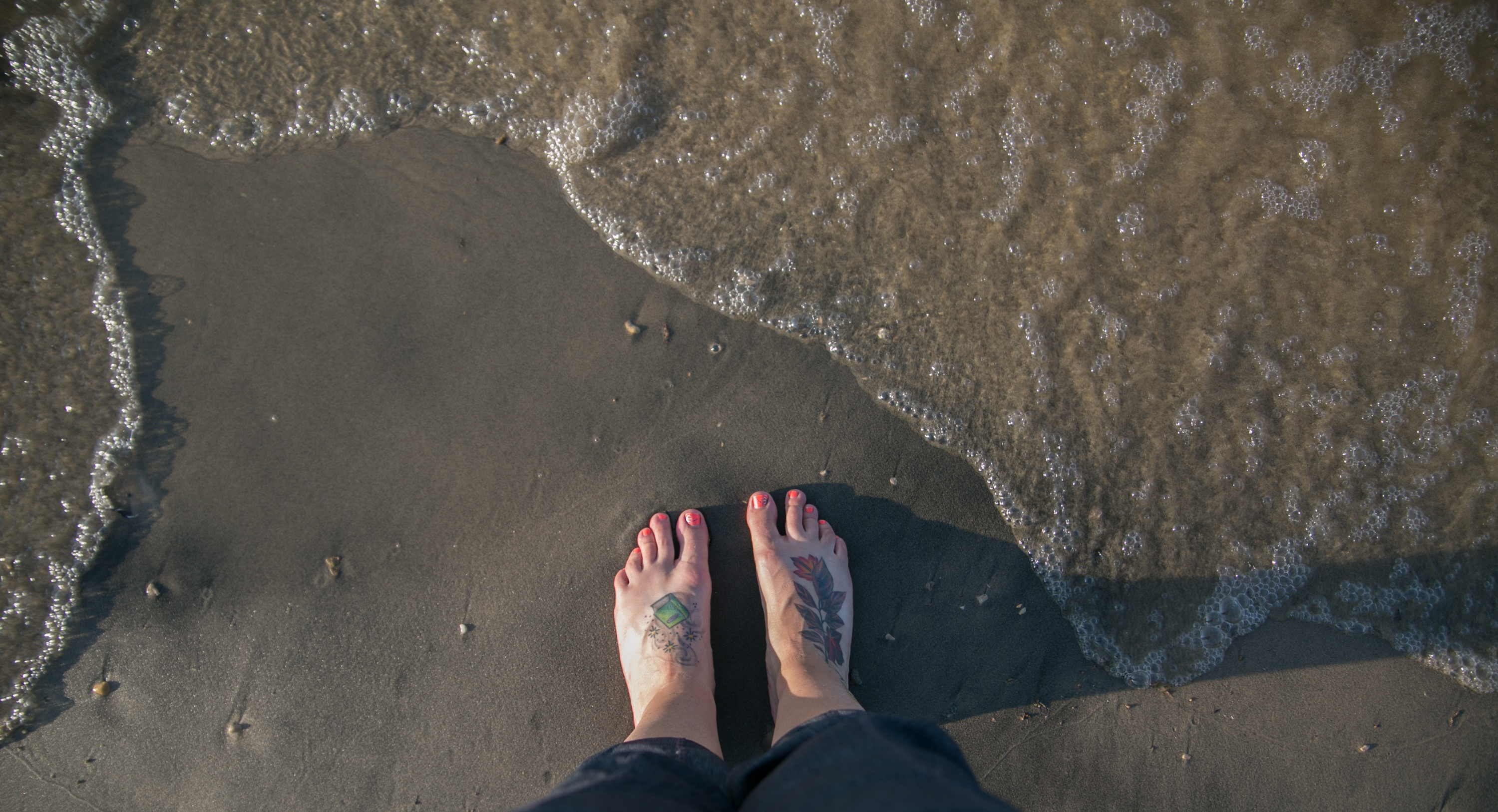
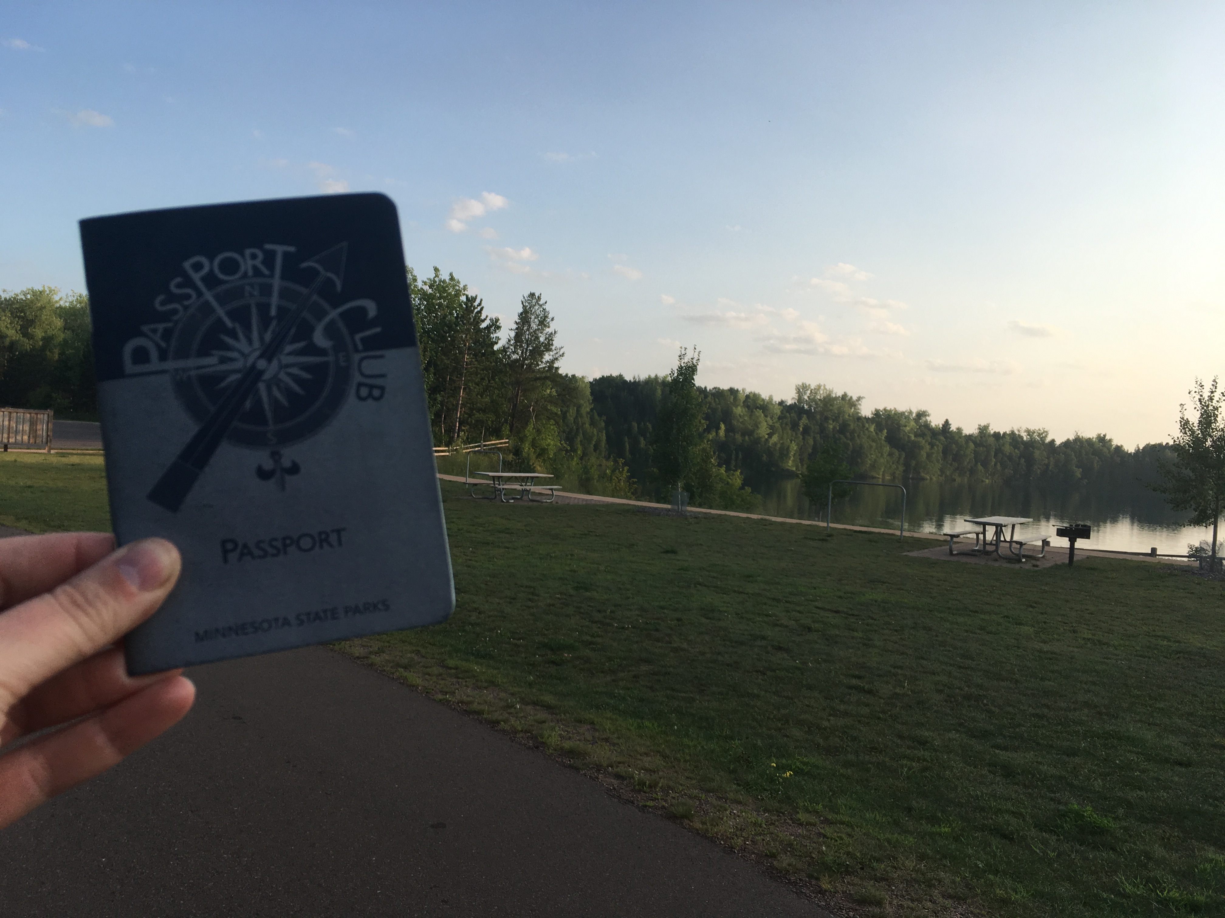
so we headed to cuyuna, which is pretty much dedicated to mountain bikers. i wouldn’t mind loading up my bike sometime and checking out some of the tamer paths. there were no maps, unfortunately, and after looking and looking, NO STAMP. what on earth. no self service, no nothing. i took a pic with my passport in front of the lake just to show i was there and i was going to tweet the dnr to see what the deal was.

then lori saved the day! (and redeemed herself for taking me down the nightmare road.) she checked out the park map online and the ranger station was actually 5 blocks away in town.


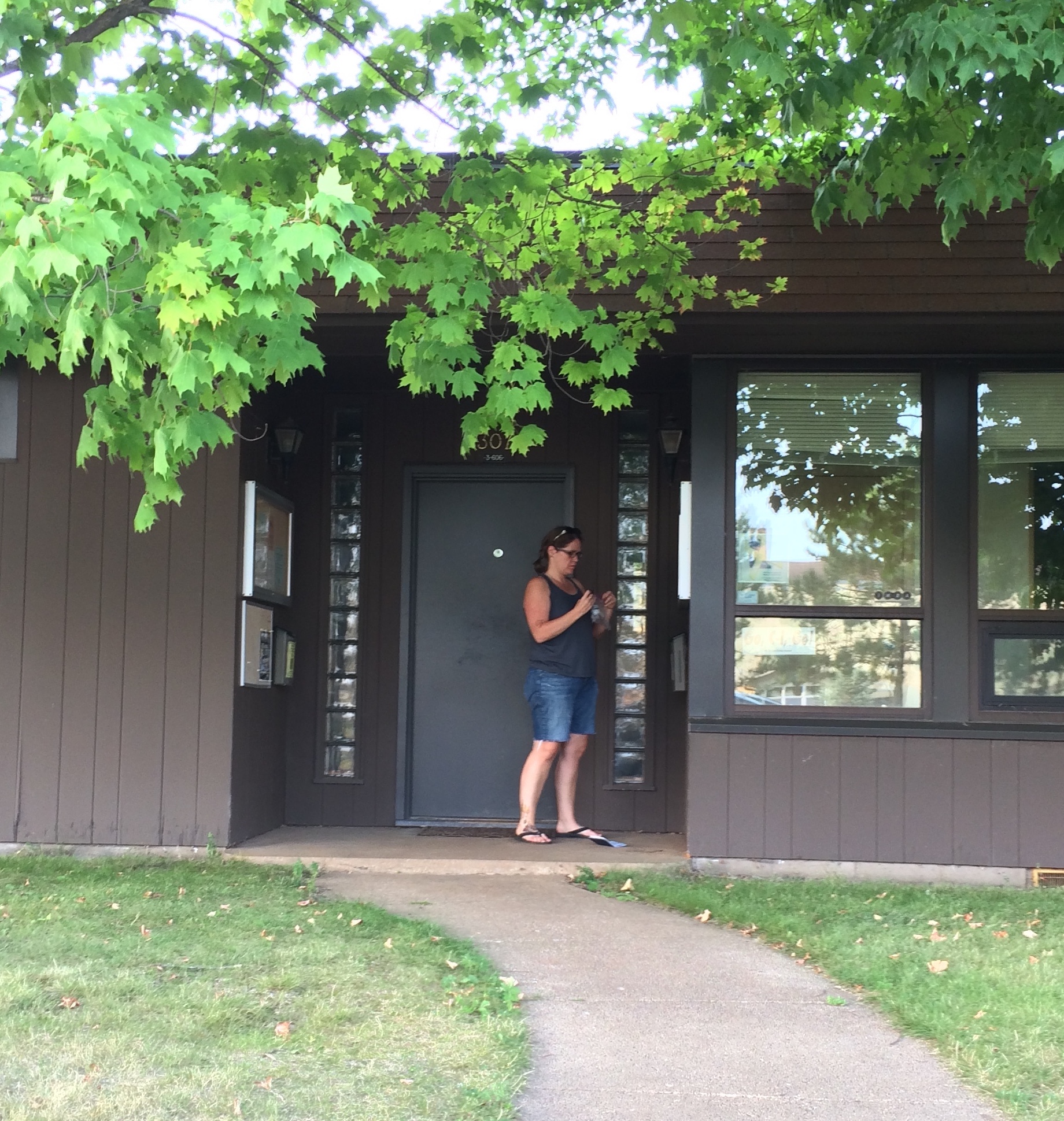
(typical scene of me trying to figure out the stamp.)

*******

then we booked it! over to brainerd then 371 to 10 and the backroads to avon. i think we actually rolled in around 8:30. lori headed out as soon as she could, and i lamented not taking the next day off work. (especially the next morning when my alarm went off.)

********

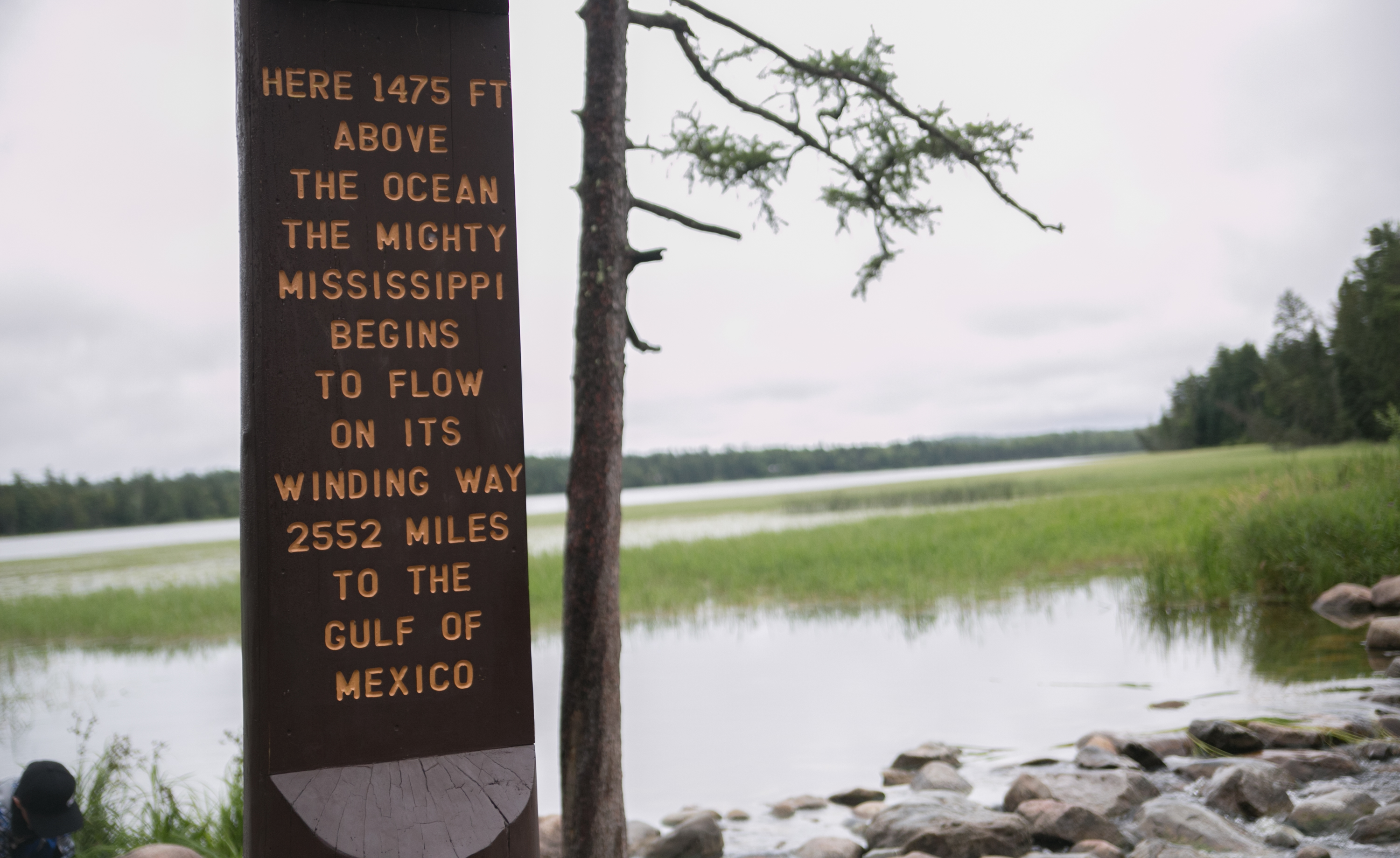
we visited EIGHTEEN parks this trip. so far i’ve visited 64 parks total. only eight more until my passport is full: beaver creek valley, forestville/mystery cave, lake louise, myre big island, rice lake, sakatah lake, minnesota valley, and st. croix. i’ll pick up a few of those next weekend after liz’s party, and when i visit jenee in september i’ll stop at st. croix.

GETTING CLOSE!

also, i want to point out that the purpose of getting the passport and visiting the parks wasn’t necessarily to spend a lot of time at them. that’s why i’m picking up so many at a time. the point is to figure out which ones i want to go back to and actually spend time at. or which ones i’d stop at again if i’m in a particular area but wouldn’t make a destination of it.

i’ve already talked to my mom about visiting itasca next year and spending time there. i’d also like to stay at jay cooke again and visit grand marais. this has been a fantastic way to see the state.

mn state parks: the north shore!

mn state parks: the north shore!

now we’re getting into the meat of this! here’s the nice thing about hitting state parks on the north shore: they are all on the same road (for the most par) and one right after another. none of this zigzagging through the flats of nothing to get to a park. that sounds like i resent the remoteness of some of the parks, but i get why they’re all over the place. but still. NW mn is pretty sparse.

after an EXCELLENT breakfast of breakfast burrito/tacos and washing the dishes with my face soap, we packed up the tent, which now has a broken bag and we just shoved into the trunk willy nilly, and headed out on 210 toward duluth and the lake.

210. let me just tell you that 210 is the way to go. that’s a nifty little drive. we got to duluth and could barely see the lake because it was so smoggy. it was a little eerie – the lake just sort of blended into the sky, both of which were just smog ridden.

once we got past duluth, two harbors was only 20 minutes away, and we chose the scenic route instead of the expressway.

made a pitstop at betty’s pies for some deliciousness, daring to make a left turn on the busy highway (both in and out!)

(lori got maple walnut and i got blackberry peach.)

gooseberry

first stop was gooseberry, which was, predictably, packed. i understand that it’s right there on the highway and some pretty impressive falls, but i say that jay cooke was more interesting. but, that’s just me.

we checked out the gift shop for some tums (no go) and then took a stroll down to the falls, then hiking across the river and up the other side before heading across the bridge.

i love the clear water and rocky bottoms of the rivers and lakes up here.

we left gooseberry, giving ourselves a pat on the back for getting there relatively early; the parking lot filled up and cars were lining the road.

split rock lighthouse

so many of the photos of the lighthouse i’d seen were from the beach below. lori and i decided to pony up the $10 to take a tour of the lighthouse!

i made lori take a pic with one of the historical society dudes dressed in olde timey lighthouse garb. we went to the top of the lighthouse (30 steps), took a look around, came back down. we lamented the fact that there were people who were standing in the great photo-taking spots.

turns out she is as people-averse as i am! get outta my way peeps!

there was a caretaker’s home and a pretty good museum at split rock. we learned about SHIPWRECKS!! on lake superior and how the lighthouse came to be. then we thought about heading down to the beach to check out the lighthouse from the shore, but i stopped and said “WAIT. we probably have lots of chances to check out the lake from a shore. perhaps we should kick into quick mode a bit, since we spent a lot of time at gooseberry and now here.” we still had quite a few parks to get to.

(still smoggy.)

lori thought that sounded like a decent idea, so we said farewell to the lighthouse and headed to tettegouche.

tettegouche

i’m sorry to say that we did not spend a lot of time here. tettegouche was PACKED (not what we wanted to see). lori dropped me off at the door so i could run in and get my stamp and a map.

i was walking out of the ranger station when i noticed crosby-manitou shirts, which made me panic – what if i got there and there was no stamp? so i asked the ranger that question. AND WE GOT A MISSION FROM THE DNR.

the ranger said he’d heard the stamp was missing, so were we going there right then? i said yes, after this we were headed up there. HE ENTRUSTED ME WITH THE STAMP and we headed to crosby-manitou on official MN DNR business!

(how exciting.)

crosby-manitou

this one is slightly off the beaten path, but for a park that’s in the middle of a bunch of gravel roads, it sure was busy. the SHT runs through it, so there were a lot of day hikers parked there, i bet. lori and i took a short hike down a trail, and she hopped off into the woods to take a pee in the park (that’s her long-term goal – pee in all the state parks).

a group of hikers was coming in just as i exited the rustic toilet (hole in the ground – i ain’t afraid of ’em), so i asked how it was going. it was a hot, humid day, and they were averaging 6 miles a day. there were a lot of them though, and hiking as a group has got to be a little time consuming.

(looks like the SHT signage could use an update.)

i wouldn’t mind hiking the SHT but man it seems like a lot of work. anyway, at crosby, we dropped off the stamp. the ranger was right – there was no stamp there. i am so glad i asked, otherwise i would’ve had to either backtrack or hope the next park had a stamp. MISSION ACCOMPLISHED.

temperance river

temperance snuck up on us but was no secret – there was a pull-off on the side of the road for those with no park stickers to check out the gorge.

(ugh. i need to calibrate my lens on this new camera. this focus is ridiculous.)

since we had a sticker, we parked in the lot available and took the short hike to the gorge to check it out. it’s pretty impressive what water can do to a landscape. as always, mother nature wins.

at this point, it was almost mid afternoon and it’d been a while since we’d packed away the pies. in typical fashion so far this outing, we decided on food at the last minute and swerved into coho cafe in tofte. neither of us were particularly hungry until the food came, which we wolfed down. we both had a coffee to keep us up later (well, to keep lori up past 9).

a note here to talk about food on my camping trips. i always have grand plans to cook on a campsite when i head out, but when it comes down to it, i end up stopping to pick up a sandwich or fries or something. so that’s why we’re eating at places like crazy mary’s!

cascade river

cascade river was actually pretty cool. there are multiple cascades as the river descends to the lake. we took a hike up to check out the cascades.

super cool! the water is tinted brown from all the ore that’s in it. this park has five waterfalls and i get three in the pic! i have to work on my settings to make the water look more “flowy”.

at this point, it was time to book it because we had to get up to the border and then back. we drove through grand marais, which looked like the perfect oceanside hamlet with its marina and the still-foggy/smoggy lake smoothing out the waves. i want to come back the grand marais sometime to spend some time there.

as we got farther north, the land got a little more rugged (volcanic action), with more peaks and high points in the state.

then it was time for a national interlude….

grand portage national monument

to complement my pipestone stop, we stopped at grand portage to check it out. unfortunately, we got there JUST as the building closed, but we were still able to walk the grounds and learn about the grand portage. grand portage bay is beautiful! and a perfect spot for the canoeing frenchmen to make their landing.

what a gorgeous area! it was pretty quiet this far north, and we were on the reservation, so there were minimal urban areas.

i’d like to come back when the information center is open.

…and we still had some more of minnesota to check out! we drove as far as we could before the canadians needed to turn us away (lori said she didn’t know she needed to bring her passport; i don’t even have passport).

grand portage state park

this state park is combined with the welcome to minnesota and the US rest area. there is no camping, but there is a historical marker for the state!

(hello canada!) (again!)

we needed to backtrack, so we waved farewell to our northern neighbors and the gorgeous scenery and headed to judge cr magney park where our site was.

judge c.r. magney

this park houses the disappearing river! lori thought i was making it up, but at devils’ kettle falls, half of a waterfall disappears into a giant pothole. unfortunately, it’s a 2-hour hike to see it (and rugged, so says the info on the map), and it was already close to sunset when we got our tent up. so instead we had a fire, took showers (omg, it was warm, too, unlike brrrrmidji lake park), and then lori took a hammock nap to prepare for star pics. unfortunately, i didn’t take any pics of magney. but that evening, we headed out to look at the stars

the stars

when i made reservations for the north shore, part of my intent was to make sure i could get some decent astrophotography in. because light pollution is so bad down here, it’s hard to get decent star pics. and really, to see the stars in general. so the days i picked had a new moon that wouldn’t rise until early morning. i also made sure the park we were at wasn’t close to any of the little towns, and from there, i just prayed for clear skies. (i even had a backup date in case of bad weather).

THANKFULLY, the stars (ahem) aligned. the breeze even picked up in the afternoon and cleared out some of the smog. (some was still sitting low on the lake.) i think if there had been no smog, we’d’ve seen stars all the way to the lake, which would’ve been cool.

it was still pretty awesome. we left camp about 10:15 and headed to a little beach about a mile down the road (i had even scoped that out beforehand). we got out of the car and instantly could see the milky way. it was so spectacular.

holy moly, i am in love with these. i’d never seen mars so red in the sky! on top of the clear skies, no light pollution, and no moon, there was the perseid meteor showers going on!

i don’t know if it could’ve gotten much better. well, i guess i could’ve moved my gear down the beach and lined up the milky way with the trees on the beach, but i was so enthralled i didn’t even care.

a book recommendation to you: paul bogard’s the end of night which talks about how light pollution is not great for people and how it’s ruining scenes like this.

and the longer we stayed out in the dark, the more stars we could see. i think i read in the bogard book that it takes a full three hours for our eyes to completely adjust to the dark, at which point we would be able to see a ton more in the sky. lori, who said she’d come to look at stars but wasn’t as enthused as i was, set up shop in her sleeping bag on the beach. when we left, she said she could’ve stayed out all night.


*********

we headed back to camp to catch some ZZZs before heading out on the long day the next day. the last day included a mine tour and driving from the NE tip of the state back to st. cloud. whew!

mn state parks: up to the north shore!

mn state parks: up to the north shore!

i was tired of camping alone. so i ran through the people i knew who might be interested in camping with me and who were relatively obligation free. nate of course works overnights and it just didn’t work out. i asked my sister jane, but she couldn’t ask for a day off. so…hm… oh, my cousin lori! so lori came with me on my final camping park trip of the state park tour.

after a minor heart-stopping fiasco three days before when i realized my reservations were for sat and sun, not fri and sat, we set off saturday morning to pick up five parks, including jay cooke where we would stay.

off like a prom dress!

mille lacs kathio

our first stop was just on the southwest side of mille lacs lake (the second-largest enclosed lake in the state).

the big thing is the fire tower in the park, which you can climb to see the lake from. i went up one flight and decided that was enough of that. with my heights issues, i figured that was enough of that. lori went to the top though; unfortunately, it was really smoggy on saturday due to the canadian wildfires. so when she got to the top. she couldn’t really see a lot of the lake.

then we headed to the interpretive center (where we saw a loon displayed with its weird feet location) and then checked out the location where the dakota used to have their homes. they would have summer homes and winter homes – just a few hundred feet apart!

then the dakota were pushed out by the ojibwe. (another sad state of affairs for the dakota. good grief.)

we spent a lot of time at mille lacs, hiking through the park and checking out the stuff it had. it certainly has a lot of interesting historical and archaeological sites.

father hennepin

meh. lori and i both decided this was not the park for us. it’s just a glorified swimming beach more than anything. it was SO BUSY. we had to park along the side of the entrance because the lot was full. you can see the smogginess of the day in the pic.

we headed out, and it was time for lunch. unfortunately, there’s not a lot between father hennepin and banning! we kept looking out for something that would work, and finally found crazy mary’s restaurant in finlayson. we were worried that it would take forever and be really cold inside, but it was warm (yay!) and we were in and out in about 30-40 mins. pretty impressive! then not even 10 miles down the road was banning.

banning

the first gem of the day! banning state park is a great park, getting the first “up north” vibe. there’s a river heading through it with a bunch of rapids that kayakers were attempting to navigate.

we hiked along a trail and then managed to get down to a lower part of the trail closer to the river. well, lori did just fine. i managed. gotta start managing better so ragnar isn’t so annoying.

(this was an easy trail down to the river. i can handle steps. it moved into rocky precipices pretty quick though.)

we both decided we would come back to banning to camp. maybe to rapids kayak, but that’s unlikely! there were also fat bikers on the trails, which is the first time i’ve encountered bikers in the parks.

then we had to take the interstate (wah). lori had a grand idea of taking the backroads through wisconsin, but it would’ve added half an hour to the drive. so up I-35 we went.

moose lake

if you are interested in agates, this is the place for you! neither lori nor i are especially interested in rocks, so we did a quick tour of the interpretive rock center and headed out. BUT if you are interested in the geological history and makeup of the state along with some extensive agate collections, this is a great place to visit.

back on the interstate, we were heading closer and closer to the north shore.

jay cooke

i have to say something and i might make people mad: jay cooke is better than gooseberry.

what a nice park! they have programs that you can attend in the evening (ours was howls and owls), plenty of trails, and a swinging bridge over the falls that they keep having to raise due to flooding (mother nature ALWAYS WINS!). we checked out the rapids and great rocky outcrops on the st. louis river. dipped our toes in a calm spot and wanted to dunk our heads (it was so hot and humid out!).

on the other side of this photo was a small pooled area of the river where people were swimming, and countless trails wound through the park. we saw some rugged superior hiking trails (next goal). Plenty of CCC buildings and structures. The bridge was a CCC structure that they’ve adjusted to accommodate the increase in bridge height.

i got close to the edge! kind of impressed with myself.

our campsite was in a great spot. i chose one on the end and there was plenty of space for the GIANT TENT i brought. i was so excited to get dressed standing up.

after we went for our hike and set up camp, we headed into carlton (funded by mr. oldenburg it seems) and stopped at street car kitchen and pub for supper. i ended up having a mexican honey beer with 8% alcohol content and lori drove back 😮

i hung out in the hammock for a bit and lori hit the hay at 9 p.m. unfortunately for her, the people next door were kind of noisy, so when i rolled in around 10-10:30, she was still awake. ah, noisy tent neighbors.

overall, jay cooke is probably my second favorite park (so far). we are already figuring out when we can come back to camp at jay cooke!

*******

so ended day one of the north shore excursion. next morning would be early with a long haul up the coast!

mn state parks: northwest central-ish

mn state parks: northwest central-ish

the last day of the state park swing, i was supposed to head over to my friend melissa’s place in ND, but she had three funerals in two days, so we need to reschedule a visit. so i needed to make a decision if i wanted to just hit up la salle and itasca and head home or jut over to the southwest and catch four additional parks on the way home.

what do you know; i went for the four.

i broke camp before the drizzle started, which was a plus, and i was on the road before 9 a.m. i drove through bemidji to grab mcdonald’s breakfast (the only thing worth getting at mcdonald’s) and i headed to la salle, which was only 20 miles from bemidji. it’s a sad day when 20 miles to a park is a really short distance!

la salle

la salle was mostly an overflow camping for itasca visitors, i realized. the campground was the most interesting park of the recreation area. there were snowmobile trails, which are probably used quite extensively in the wintertime.

then it was a short drive to itasca. along the way i saw glimpses of the baby mississippi.

so tiny you can’t even see it in the tall grass!

and then. AND THEN.

itasca

so the last time i was at itasca was probably close to 30 years ago. my family was on the way to roseau to visit my grandparents, so it was before 1991. we stopped on the way up and liz fell into the headwaters – i think it was around eastertime, too. so brr.

i don’t remember much about visiting the park – just the headwaters and walking across the rocks.

but let me tell you. itasca is the CROWN JEWEL of the mn parks. the only park that i can imagine will outdo it is gooseberry, and it will have to be top notch to achieve that.

it was close to 9:45 when i rolled into the park, and it was drizzly and a thursday. it was packed. i entered at the north entrance and drove south about 5 miles to the main entrance interpretive center, which is gorgeous. it’s ski chalet like, with information on itasca, the mississippi, state ecology, wildlife, and a ton more. there is a modest gift shop, a fireplace with squishy chairs around it, and a place with area informational brochures. i was impressed already.

i stopped at a couple points of interest on the way to the headwaters, including peace pipe vista and preacher’s grove. several walking/biking paths weaved across the road and into the woods. itasca is also home to several old-growth pines, preserving a few, INCLUDING the state’s largest white pine (more to come later on that).

the headwaters was packed, which isn’t surprising. there was a second (outdoor) interpretive center there, which included large relief map of the river’s journey down to the gulf. there was a much larger gift shop and a cafe. after browsing the shop and finding nothing i couldn’t live without, i headed out to see where the river began (so sayeth mr schoolcraft and his much wiser ojibwe guide).

(well, there we go.)

since the park is named after the lake and the river was packed with a bunch of people and their kids that might give me the old side eye with my giant camera, i decided to take a nice pic of the lake instead.

there’s the actual start of the river right there on those rocks. good old mississippi.

since i had four more parks to hit, i almost left the park, but decided at the last minute to take the wilderness drive, which loops 10 miles through the woodsy park. really, i was hoping to see a moose. or a bear. or both. but mostly a moose.

no such luck on the wildlife, but i did get to see the state’s largest white pine!

i seem to have a thing for large trees. i saw the state’s largest cottonwood down by lac qui parle. now the state’s largest white pine. gotta say, it was pretty impressive. not general sherman impressive, but it’s doubtful anything is like those giant sequoias.

i continued on through the park then checked out douglas lodge, which was deemed the best-built log structure by the CCC in the country! and this was another place that was completely impressive. multiple places for lodging, and there were restaurants. there are also several cabins and guesthouses available throughout the park. looking at the website now, i really should have gone into douglas lodge to check it out. it’s reminiscent of what a person would find at custer state park in SD.

i actually called charlie while i was at the first interpretive center and told him to forget whitewater; we needed to camp at itasca. we may be coming back this year yet, though i’m thinking it’s doubtful that we’d find an open weekend to camp.

after my mind being blown by itasca, i had to head out. i’d spent two hours at the park and i had a lot more to do that day.

buffalo river

as i drove away from itasca, i experienced the oddest thing. the day before i had experienced driving through the different biomes, but they were a little bit gradual. this day it was abrupt. i drove through these pine forests, winding along county road 37. then i was suddenly out of the woods and for about 2-3 miles, it was corn and bean fields. then i entered a hardwood forest. just like that – boom. i had hit the edge of one biome and entered the other completely in less than 5 minutes. it was bizarre.

i was able to hop on another four-lane, driving through detroit lakes and hooking up to hwy 10 to get to buffalo river near moorhead. this was another park dedicated to restoring some prairie, and also maintaining a CCC construction.

(and of course, the river.)

the CCC built a natural pool in the park. it was kind of odd, but it made sense when it was constructed. recently it was renovated to make it a little more sanitary, but it still pumps water from the river.

the day was chilly when i got there, but there were still a few people swimming.

(definitely no moose here.)

maplewood

i headed back the way i came on hwy 10 and then headed south to check out maplewood, which is just east of pelican rapids. maplewood is a nice park! there’s a lake and lots of gentle hills.

considering we were in the middle of the glacial lakes area, this was a pretty common sight.

glendalough

glendalough was not that much farther from maplewood, but because there were so many little lakes that the roads wound around, it took longer than i anticipated. my first impression of glendalough was that it seemed like a place that people from the metro would go for a summer weekend out. considering we were close to detroit lakes, i didn’t think i was so far off. there was a relatively nice self-serve outdoor interpretive center. many people were out on the hiking and bike paths, and there was a small building where people could rent bikes and canoes, paddleboards, and kayaks. i got to the “trail lodge” (a large building with restrooms and a large room where you can sit) and i read the history of the buildings.

turns out i was RIGHT. the land and buildings were owned by the owner of the startribune, and in the early 90s the family donated the land and buildings to the park system.

(there was a loon out on the lake, but he was too far away to get a pic.)

lake carlos

lake carlos was my last stop of the day, close to alexandria. the lake is a fishing lake and there are several trails and camping.

i took a short hike and stumbled onto a group camp and so turned around and focused on some wildflowers, where i ran into a bumblebee.

so ended my park visits for the day. i got lost trying to find alexandria, and once i did, i forgot how stinking long that town is and almost thought i had to turn around to find the interstate. but it appeared, along with a culver’s where i got supper before jumping on I-94 for home. this was the first interstate i’d been on the entire trip.

for one brief moment i thought i was going the wrong way on the interstate and i almost had a mild attack before see the EAST on a sign. whew.

then i entered good ol’ central MN, and there’s no place like home.

*****

what was really interesting about this loop of parks was the different topography and ecology in the state. i was pretty knee-deep in all the MN biomes, seeing the changes that happened between – some gradual, some abrupt. it was also a lot of miles this time around, probably the most of all the other loops i will make. google maps tells me my loop was 1,010 miles. that’s a lot of time in the car, but it’s also a lot of the state i saw. some people barely leave their county*, and others think the best thing on earth is to have a passport to leave their state**. there’s so much to see in this state alone. if i can cross three biomes in a half an hour, learn about the history of the state, and find a place where the trees whisper at night and it’s so quiet i can hear waves crashing on a lakeshore a half mile away, all in this arbitrarily bordered state i call home? i’d say that a lot of minnesotans have a lot to explore.

*yes, there are farmers in southeastern MN who have never ventured more than 40 miles from home. ever.

**those people tend to also think that the only parks worth going to are on the north shore. get out! expand your state knowledge!

mn state parks: north west

mn state parks: north west

after my fantastic night of sleep at zippel bay, i woke up and made some coffee, had breakfast, and then broke camp. it was still eerily quiet, and the sky was dead flat grey. i was the first person out of the campground (drove past the two other patrons), then stopped at the swimming beach to take another look at that wide expanse of water.

If you click on this pic and zoom in, maybe you can see the white line of waves on the water horizon. also, the fisherpeople!

i took off along the north end of our great state and headed west. this day was going to be a long driving day. i stopped in warroad to fill up my gas tank and ended up getting a cup of coffee and a donut; so much for roughing it on the food end. then on my way out of town i drove past the anderson window plant and had the weirdest sense of deja vu from when i was 3 or 4 and at my grandparents’ house in roseau. my aunts rae and meg had taken me to a fair or something, which i would have guessed would have been in roseau (and maybe the polaris plant), but the arrangement of the anderson building and the field next to it sure did suggest it was there.

hayes lake

my first park was hayes lake, just south of roseau. despite being a dammed up river, it is a pleasant little park with tall pines, and the lake the dam created is home to many water fowl (open water is scarce in the northwest).

this is the quintessential “up north” looking lake to me. pines, some birch/aspen, meandering lakeshore.

on my way it out it occurred to me that i never get shots of the park entrances. here’s hayes lake’s! this is a pretty common looking ranger station. it’s also the common theme that there weren’t many people at most of the parks i went to. but for an introverted weirdo traveling during the week, that’s ok.

lake bronson

i took off through the desolate flat land of northwest MN to lake bronson. not only have we entered the lake bottom of lake agassiz, the prairie has swept in and trees are sparse. occasionally i saw a stand of pines lining a field. along the way, i saw many many sunflower fields, heads turning toward the sun. i also saw many fields, not just sunflower fields, with stacks of honeybee hives at the edge of them. that’s something i haven’t seen a lot of in the rest of the state. i’m not sure if this is because there are enough pollinators in the southern part of the state or if the northerners just like their honey.

lake bronson is another dammed up river that was created in the hopes that it would be another itasca state park but in the upper part of the state. there was a great interpretive center (i do love me an interpretive center) and a water tower left from the CCC days. many of our state parks were created as part of the civilian conservation corps, and there are many buildings and constructions that still stand as a result.

lake bronson isn’t the northern most park, nor is it the most western, but it is the most northwestern park. it really lends to the idea that all minnesota citizens have access to a state park nearby.

old mill

old mill state park is in the boonies – not near any discernibly large town (or village even), in the midst of flat farmland and winds whipping across the prairie. it’s an historical site more than anything. the larson mill was the only mill in the area and people would come from all over to get their grains milled. it was like a big family reunion every time they went to the mill.

at first the mill was water run, then steam powered. eventually it went out of business after farmers left their self-sustaining ways behind them and started buying all their goods at a grocery store rather than growing them themselves.

(i seriously don’t know how that mill was water powered. maybe the river was low when i was there.)

you could still see the wagon wheel ruts from the horse-drawn wagons that used to pull up to the mill. kind of like how you can still see oregon trail ruts (but not quite so intense).

red river

red river recreation area in east grand forks is a relatively new park, created after the 1997 flood. it used to be residential area, but since the flood pretty much wiped everything else, they didn’t want to rebuild and decided to make a recreation area instead. after i learned that, i could see how it used to be a neighborhood – the streets are still there and curbs, large trees you’d find in a yard, and instead of houses, people back in their fifth wheelers (that is not camping to me).

one thing i found interesting was a bridge that used to cross the river; they took it out and removed the footings because they were so large they were disrupting the natural flow of water*. they did leave on giant footing, which i thought for sure is more of a disruption than anything else that could be in the river.

i didn’t spend too much time in east grand forks. the last time i was there was for a job interview at UND, which i’m glad i didn’t get so i wouldn’t be living in EGF.

i was able to hop on a major highway, which was a 4-lane, and i booked it across the prairie. i was driving through crookston when OMG CIVILIZATION – i saw a sign for caribou. i actually turned across three lanes of traffic (thankfully traffic-free) and turned in to get my ice crafted press. mmmm deliciousness.  (what can i say – i’m a creature of habit).

at this point my phone was useless and i no longer had my printed out google maps, so i was pulling a norm wallace and reading the paper map of the state and had my gazetteer in the seat beside me. which would prove useful in bemidji, which was coming up next.

eventually the flat land got a little more hilly, and by the time i hit fosston, i had moved from one biome to another, then not that far away in bagley, i was headed to the third one. that’s pretty cool that you can cross three biomes in about 20 minutes.

lake bemidji

i was back in pine country. lake bemidji seemed positively urban and southern compared to my previous day’s pursuits.

i ended up getting lost, driving across town, then driving back to the other side of the lake before finding the park. this one was a busy park, and the rangers at the station were ready to help out, with the building open til 9 p.m.! that was insane compared to what i had been experiencing.

i found my campsite and set up camp, then checked out the lake briefly, it was still windy and slightly cloudy, so i didn’t swim or anything.

(i’d camp here again.)

then i checked out my cooler, which wasn’t so cool anymore. sigh. so i went back into bemidji, checked out the now-closed-up downtown, then got a sandwich. and since i’d left my travel soaps at the cabin at leech, i spent an inordinate amount of money at CVC for travel shampoo and soap (seriously, why is CVC so expensive??).

i got back to my site, ate my sandwich, then got ready for my TRAIL RUN. my phone screen was still a mess (well, still is now), but i managed to take a pic.

literally my only selfie of the trip. i didn’t go on a hike with my big camera, so this will have to suffice for a park pic.

the trail was ok – just a little over 2 miles and a lot of it was just grass, but there were some excellent dirt parts that went through some pretty awesome tall pines. the st john’s trails are more technical, but i definitely liked the giant pines.

then i took a shower at the campground and OMG i think i’m still cold. all cold water, so i was in and out of there as quickly as possible. in fact, i didn’t even get under the water; i sort of stood in the corner and threw water at myself.

once clean, i went back to camp, read my book, and enjoyed the sound of the wind in the pines.

*i just ordered john mcphee’s “the control of nature” which i am excited to read. it’s all about how dams and other ways that people try to control nature when we should just let nature take its course. salmon can’t swim upstream anymore; they need to be taken upstream by people. rivers that naturally meander across the landscape aren’t allowed to do that anymore. and while without damming rivers we wouldn’t have parks like hayes lake or split rock creek, time has show that nature really does have the final say.

mnstate parks: north central

mnstate parks: north central

since i was up at leech lake for a family reunion, i decided that was an ideal time to just take off up to the northern third of the state to get my north central and north west parks visited. i woke up tuesday morning, and within an hour i’d packed, said my goodbyes, and was on the road.

schoolcraft

the first stop was schoolcraft, named after the guy who “discovered” the source of the mississippi (he was led there by an ojibwe guide).

this was the first glimpse of the mississippi in this very river-heavy set of parks to visit. unfortunately for my cousin lori, there were no schools at the park. there were some angler though, jetting their boat down the river.

knowing how the mighty mississipp looks in central mn, this river seems much more serene (and cleaner).

after a short hike and stumbling on some vibrant mushrooms, i headed east. i had a lot of parks to pick up, along with a detour where i wanted to spend some time, so i didn’t dawdle.

hill annex

the next stop was hill annex mine, which is in calumet, a very sad looking range town. speaking of the range, those rangers sure do love amy klobuchar! so many giant signs for her upcoming election.

hill annex seems SUPER interesting, and if i’d been there on the weekend, i might’ve taken a tour of the old mine. alas, there was no one there, either on a park capacity or visitor capacity, while i stood on the overlook and took a few pics.

this would be a recurring theme the next few days. so many of the parks are self service and have so few visitors. whether this is due to lack of knowledge of the parks or just lack of funding, and do the two cause each other to continuously decline into this spiral toward non-existence? there are so many parks i was unaware of before i started this trek. how many local people know about the parks and what they offer?

scenic

onward from hill annex to scenic park. now it’s certainly scenic, but there wasn’t a TON to offer from this park. granted, if it were plopped as is 10 miles from my house, i would be there every day.

as i steadily drove north, i became more and more ensconced in pines. it was glorious. now i do like the biome* i live in, but man the pines just whisper just right.

THEN, it was time for an INTERLUDE.

lost 40

i have wanted to go to the lost forty for a long time. when the first loggers went to survey the northwoods, it was so cold that they mis-surveyed and “lost” 40 acres. those 40 acres have hundreds of years old non-logged pines.

(foot for scale) (so these trees aren’t as big as general sherman, but considering the conditions they survive, i’d say they’re doing ok!)

it was on the way to the lost 40 that the screen on my phone crapped out and i was having a minor breakdown on top of wondering if my maps still worked.

but i made it.

i drove onto a gravel road, then onto another gravel road that was a logging road. i began to wonder if i was in the right place. i trundled down the gravel ruts for about a mile and was ready to turn around when i saw a small turn in with 3-4 cars parked.

the lost 40 is about a mile-long hiking loop that wanders through the old-growth pines and then some new growth so you can see the difference. the path was nicely kept, packed down with wood chips, and lined with informational placards as you walked along the path. it was a lovely walk in the woods.

reluctantly i had to leave my green cathedral. if i’d had all day, i’d’ve whipped out my camp chair and perched under a tree with a book.

big bog

then it was time for a long haul up through the start of the sparsely populated part of the state. instead of finding roads that took me on a somewhat direct route, i had to find roads that would just get me there, no matter how circuitous. the trees started diminish a bit, turning scrubby and short, and the land turned a bit flat after the rolling hills of the range. we were entering bogland.

i don’t think i’d been to the red lakes before this trip. big bog recreation area was at the top of the upper red lake, and the wind was racing across the open water. the almost marsh-like edges of the lake gave it a more wild feel, unlike the smaller, more controlled lakes i’m used to.

i have to hand it to big bog – the amenities are pretty nice. there’s a fire tower and several trails, then you drive 7 miles north and take the bog walk.

here you can see the sort of scrubby landscape that dominated on the drive through the peat bogs. i didn’t go too far out on the bog walk, but i did confirm that we were walking over some very bog-like stuff.

franz jevne

after the bog walk, i hoofed it up north. at this point, you’re wondering how much more north can there be? my thoughts, too. also annoying was the lack of roads that could’ve taken me directly to franz jevne park. nope; i had to go nearly all the way to zippel bay, then 24 miles out and 24 miles back to pick up franz. nate discouraged me from the beginning to not go to franz jevne, but i did, waving to canada the entire drive along the rainy river.

franz jevne is mostly just a water access along with some campsites. it’s probably the second-sparsest self service park i’ve seen so far (better than john a. latsch and a couple recreation areas).

on the plus side, on my way back to zippel, i was cruising through some radio stations and ran across something that sounded like spanish mariachi rap. the DJ came on, and it was a FRENCH station. that was some delicious french mariachi rap music!!

zippel bay

this far north we’ve gotten free of the peat bogs, but the pines aren’t back. there are no oaks or maples – just some aspen, birch, and other “light” trees as i’ve come to think of them (oak and maple are “heavy”).

and zippel bay was something else.

lake of the woods is massive. i felt like was standing at the edge of an ocean. the wind was coming in off the lake something fierce, whipping everything around.

this lake was so big, that i’m pretty sure there were waves out past the bay where they were breaking into the bay and into calmer water. i mean, isn’t that ocean behavior? i can’t be certain as they were pretty far out, but i’m pretty sure they were there.

zippel was also a little eery for me because i was one of three campers in the park. it was so quiet and still. i lay in my cot that night and could hear the waves hitting the shore half a mile away. while i was trying to get to sleep, i heard these muffled booms, like fireworks from afar. after a few random booms, i realized that it was giant waves hitting rocks or some other structure out in the lake. they stopped pretty quickly.

at zippel i felt very alone and small. but i got the best night’s sleep of my trip.

*did you know that minnesota is rare in its three biomes in that it’s very unlike a non-mountainous state to have that many? it’s the same way with its three watersheds in the state. because of MN’s location on the continent (almost dead center), it’s got these ecological oddities.

mn state parks: west central loop!

mn state parks: west central loop!

i had a COMPANION on today’s state park visit. nate has three days off and agreed to come with me on my west central park loop. yay!

we headed out around 10:30 and hopped on 94 to head up to glacial lakes park, which is at the more northern end of the glacial ridge. this is a ridge running in west central mn where the glaciers left a crapton of deposits and therefore lakes.

glacial lakes is a nice park! it’s near starbuck, which is near glenwood. there’s a giant lake nearby as well as a couple smaller lakes in the park. we didn’t spend a lot of time in the park, but we did check out a scenic overlook into the lake and then i took a (very)short hike into the woods.

then it was a long haul to the very western edge of the state to big stone lake state park, which is right on the SD/MN border just below the little bumpout in the state.

i was a little excited for this visit because i can check off another county that i’ve visited. now i only have two counties left in MN before i can say i’ve visited them all.

before visiting the park, nate and i drove into ortonville to find something to eat. we ended up going to this dive bar and not surprisingly had one of the best meals i’ve had in a while. gotta love small-town bars!

big stone lake is a dammed river that creates a rather large lake on the border, and the state park is just a little piece of land with some campsites, a public water access, and a small swimming beach. the land in that area is interesting: there are stones all over, so you can’t farm the land, but it’s prairie, so it’s pretty flat and uninteresting. there are a lot of cattle grazing, and scrubby trees trying to make it on the edge of the prairie.

then another long haul to lac qui parle state park , another wide place in a river.

and this is where i got the find of the day! the largest cottonwood in the state is in this state park! it’s got a 394″ circumference at 4′ (!) and is 106′ tall! i wish i could find out if they have an estimate on how old it is. i had visions of walking to general sherman when i rounded the bend to see the tree!

holy tree!

by this time nate was maxed out. sure, google maps said the loop would take 5.5 hrs, but this didn’t count time in the parks or eating lunch. so it was close to 3:30 at this point. we hightailed it across the prairie. the nice thing about the wide open spaces is there are very few cops and the speed limit is 60mph.

the second to last stop was monson lake, which was another public access and a few campsites, as well as the still-depressing reminder about the sioux uprising.

the final stop on the look was sibley state park! this is certainly a familiar park; i think i spent every day the summer of 1998 on the lake andrew beach, frying to a crisp. i stopped in the park office, which i don’t think i’ve ever been in, and then took in the familiar lake parking lot. since nate was about ready to hitchhike back home, i didn’t spend much time reminiscing, took a pic of the lake, and we headed home by way of new london.

we got home close to 6 p.m. the amount of time i’m taking in the parks is making me nervous for my drive home from the north shore. that may end up being a 15 hour day :/

motivation monday (but on a saturday!)

motivation monday (but on a saturday!)

you know it’s been a sad state of affairs lately when you spend an entire saturday cleaning and fixing stuff around the house and afterward you’re amazed at how good it looks. i started with the living room and couldn’t get over how nice it was so i just kept right on cleaning. and i painted the wall that’s needed painting for about 8 months (still need to do something about the floor, but that’s another day’s project).

here’s an update this blog will be happy to hear about: this weekend i survived the craigslist killer and bought a new camera. a canon 5d mark III, which is a HUUUUUUUUUUUUUUUUUUUge upgrade from my sad 30D. oh, 30D, you did me so good for 11 years. but this will be a fantastic step up for things like STAR photography and low-light photos and overall photo loveliness. i parted with a large sum of money for this, so it’d better be SUPER awesome at stuff.

first couple photos taken with new cam? the peonies in my garden.

i’m ready, 5d. let’s get my photivation back on track.

mn state parks: blue mounds, kilen woods, minneopa, flandrau, fort ridgely, greenleaf

mn state parks: blue mounds, kilen woods, minneopa, flandrau, fort ridgely, greenleaf

after camping by myself, having a weird old time, i had a toss and turn night. i couldn’t get comfortable and it was sticky humid. finally i got to sleep and woke up at 8:30, which is SO LATE in camp world. i broke camp in record time because i had a long day ahead of me. it was still sticky humid and getting everything stuffed in their bags was kind of gross.

i headed farther south. and south dakota was calling me – come west, young woman. (or middle-aged woman.) i briefly toyed with the idea, but stuck to my schedule. one of these days i will be spontaneous.

*****

after chomping down a cookie and a can of diet pepsi, i stopped at blue mounds state park, which was a close to a south dakota stop as i was going to get this trip. what a great park! there is a bison herd and rolling prairie and native grasses and, i mean, can you beat this for wanting to head off into the sunset?

i admit, i am a lakes and trees girl. but there’s something about driving across south dakota, the hills, the waving grasses, the sky reaching forever into the west. it’s a different sort of home feeling – maybe a feeling of wanderlust rather than home. it makes me want to travel, even if it is across the prairie.

got some bison in the distance. one buffalo needs 5.5 acres of land to live off of, and the park has dedicated people for the herd.

and once again nature wins:

*****

then it was a short drive on I-90. i stopped in worthington to find a coffee, which i was pretty grateful for. then to kilen woods state park, another park encompassing a river valley on the prairie.

i hiked the short trail to the des moines river, which starts in shetek park – i had visited that park the day before. the sun was still trying to peek through, but at this point, it was starting to cloud over again. i didn’t spend a lot of time at this park, as i had a few more to pick up on my way home.

*****

minneopa state park is right outside mankato, so this was a very busy park. it seems like there is a lot going on at this park. i accidentally took the bison loop, which would have been ok if everyone else and their neighbor hadn’t decided to take it as well and i wasn’t in a hurry. i did get a pic of some buffalo, so i guess there’s that! two buffalo herds in one day. not too bad.

then across the road and down about a half mile, there’s a giant waterfall. the minneopa creek was high that day and just cascading over the falls.

there was mist curling up from the falls, making it seem like i was in some sort of horror movie. but there were way too many people there for that. remember how i like my parks more rural? well, i do. although the WPA buildings at this one were pretty nice!

******

and speaking of not rural, let’s talk about flandrau state park, which is right smack dab in the middle of new ulm. here a was rolling through a neighborhood when suddenly, a park. i was so surprised i didn’t even get any pics. in fact, i don’t remember much about this park at all. if i remember correctly, it’s small with a few campsites and trails.

well, i was short on time.

*****

a brief interlude for the historical society!

i headed up the river road that we took so many times on the way from new london to austin and vice versa. every time we drove the road, we passed the harkin store, and every time we drove right on past. well, it was time to stop. i was surprised it was open on a sunday since it was sunday, but i paid my $6 to the historical society and got a history lesson on the long-gone riverside town that once prospered in the area. (reminded me of crow wing up by brainerd). the harkin store is the only building that remains. it’s pretty interesting and worth the $6. a lot of the items in the store are original to the store, and the person giving the tour knew her stuff.

*****

fort ridgely was a short drive from harkin. once again i was reminded of what a cruddy way the dakota were treated. this one is a memorial to those who fought in the dakota war in 1862. the fort’s remains are from 1853, which was built as an outpost and training ground. it made a sort of buffer between the whites settling in the river valley and the dakota. i know there is a memorial and park in mankato, and the state parks do a good job of educating people about how an entire people was kicked out of their home and sacred land, but where’s the park memorializing the american indians? i have yet to run into one. perhaps it’s still on my list.

******

then i made the mistake of the day. i should have checked the website for greenleaf. turns out it’s just a public water access, and the stamp was at the dnr office in hutchinson. i drove around looking for a dumb self-service station, then finally looked at their website. sigh! so i backtracked to hutchinson to get the stamp.

*****

and booked it. it had been a long day. i was hungry, and a stop in litchfield yielded a slice of casey’s pizza (seriously if you haven’t had their pizza, check it out. and the donuts). i dismiss litchfield a lot, but every time i drive through i’m impressed. it’s got a sizable lake, a decent swimming beach, an actual town square and park. good job, litch.

the route i took home took me through eden valley, which i had never visited. and it lives up to its name. what a perfect little lake community. central minnesota at its finest!

finally i was in the homestretch, driving north of richmond to avon, which is a very scenic drive with the right amount of rolling hills, fields, trees, and an occasional small lake. and the sun decided to make an appearance, streaming down through clouds onto those lovely avon hills, and a person just has to say there’s no place like home.

mnstate parks: upper sioux, camden, lake shetek, split rock creek

mnstate parks: upper sioux, camden, lake shetek, split rock creek

saturday morning i woke up a little later than normal, rolling over as nate came to bed and wondering if i really had to get up and head out for a day of state parks. i was gone the prior weekend as well. that along with work was almost enough for me to shut my eyes and forget the $26 i spent on a campsite.

then i remembered the reason i made this goal was to get out of my comfort zone of staying at home all the time.

i do love staying at home and putzing around.

so i took off.

not even 5 miles south of avon, the rain started. sigh.

i took a brief interlude into new london where i took a driveby pic of the old wallace homestead and sent it to my peeps. then we all lamented the fact that the new HS auditorium hadn’t been around while we were there. then i tried to turn around and my trip almost got cut short when i nearly got stuck in mud. *eyeroll*

i had planned to stop in willmar to check out the farmers’ market, but it was non-existent. i think it was the rain.

then i buckled down and drove through the pelting rain. visiting state parks in inclement weather isn’t fun.

*****

the first stop was upper sioux agency. if there’s one thing that visiting state parks has taught me so far it’s that american indians have gotten the crap end of the toothbrush (not that i didn’t know that before, but good grief it’s just so overwhelming infuriating and sad to read about it at every stop).

i drove through granite falls to get through the park, taking a meandering river road with wisps of fog rolling along the edges of the trees. then suddenly i dipped up from the valley and onto the rez, alongside the requisite casino. a short way down the road was upper sioux.

like i said, it was rain city, so i didn’t spend a lot of time here. but there were some information items about the dakota uprising and how this confluence of the yellow medicine and minnesota rivers was originally a native homeland. seems like a lot of these parks preserve confluences that were once sacred to american indians.

*******

i continued southwest to camden state park, which has a spring-fed swimming pond and great fly fishing. i took a break to eat some lunch and took a short hike to the river.

driving along the prairie grass and farmlands that suddenly give way to river valleys where these parks are is kind of disconcerting. all at once you are disoriented, wondering what happened to the wide open skies that are now crowded by trees (i prefer the trees).

******

it becomes pretty apparent pretty quickly that lakes in southwest minnesota are highly regarded. lake shetek seemed like an urbanized park. the lake itself was ringed with homes, the park itself carving out a small section of the shoreline. and it was a busy park. minnesotans really like their lakes, even if they need to drive 20 miles to get to one.

there is an island, loon island, that is connected to the mainland by a causeway built by the WPA.

at this point you may be wondering why the island is called loon island, as no self-respecting loon would deem this lake cool enough to nest on. i sure was, as i was walking the odd causeway to the island.

turns out it was a case of misidentification. the island was inhabited by double-crested cormorants, which i guess sort of look like loons. they, too, dive. so why didn’t they rename the island? well, the cormorants are gone now too. in the early 1910s, residents thought the birds were depleting the fish population, so there was a cormorant hunt. and it was so successful that the birds have never returned.

*huffs* *shakes head*

humanity is proving itself more and more stupid.

*******

now for something different! i stopped at a NATIONAL MONUMENT. yes, i checked out pipestone.

i felt like this was entering true prairie territory. i didn’t spend a lot of time here, just enough to do a short hike through the restored prairielands and to check out the red rocks.

at this point, the sun finally made an appearance and the rain stopped. it was humid and sticky, though not yet hot.

i was itching to get to my campsite.

*******

after checking out the local scene in jasper (not much), i headed to split rock creek state park, where i was camping for the night.

the “lake” was created after the WPA dammed up the river, making it the only lake in the county.

let’s talk about dams for a moment. i want to learn more. i like the idea of lakes created, but i also like the idea of letting nature take its course. i like the idea of hydro-electric, but i also like it when salmon can swim upstream. a book that’s been long on my to-read list is john mcphee’s “in control of nature” which delves a little more on the subject. one of the info-stops along the hike to the dam mentioned how flooding has damaged the dam more than once.

maybe it’s nature saying get a clue.

that aside, i checked in and drove to my campsite, which was a little small and made me happy i had only a 4-person tent. set everything up and ate supper before heading out on a hike along the lake and to the dam.

then i read a book in my hammock and felt generally weird about camping alone.

not gonna lie: it’s not about safety; it’s about company. i spend a lot of time alone in my life. nate works overnights, so i occupy myself a lot of the time. but short of a couple work-related things, i don’t travel alone much. or at all. i’m traveling with someone or to someone. and even though i’m a giant introvert and pretty quiet, having someone else with me at the campsite would’ve been nice.

but i survived.

once it got dark, i was going to try out some star photography. around 9:30, i saw the stars start to peek out, so i decided to wait until 10:30 or so. then it clouded over around 10. well that was the end of that.

but i DID get some fireflies!