Browsed by
Tag: mnstateparks

mnstate parks: upper sioux, camden, lake shetek, split rock creek

mnstate parks: upper sioux, camden, lake shetek, split rock creek

saturday morning i woke up a little later than normal, rolling over as nate came to bed and wondering if i really had to get up and head out for a day of state parks. i was gone the prior weekend as well. that along with work was almost enough for me to shut my eyes and forget the $26 i spent on a campsite.

then i remembered the reason i made this goal was to get out of my comfort zone of staying at home all the time.

i do love staying at home and putzing around.

so i took off.

not even 5 miles south of avon, the rain started. sigh.

i took a brief interlude into new london where i took a driveby pic of the old wallace homestead and sent it to my peeps. then we all lamented the fact that the new HS auditorium hadn’t been around while we were there. then i tried to turn around and my trip almost got cut short when i nearly got stuck in mud. *eyeroll*

i had planned to stop in willmar to check out the farmers’ market, but it was non-existent. i think it was the rain.

then i buckled down and drove through the pelting rain. visiting state parks in inclement weather isn’t fun.

*****

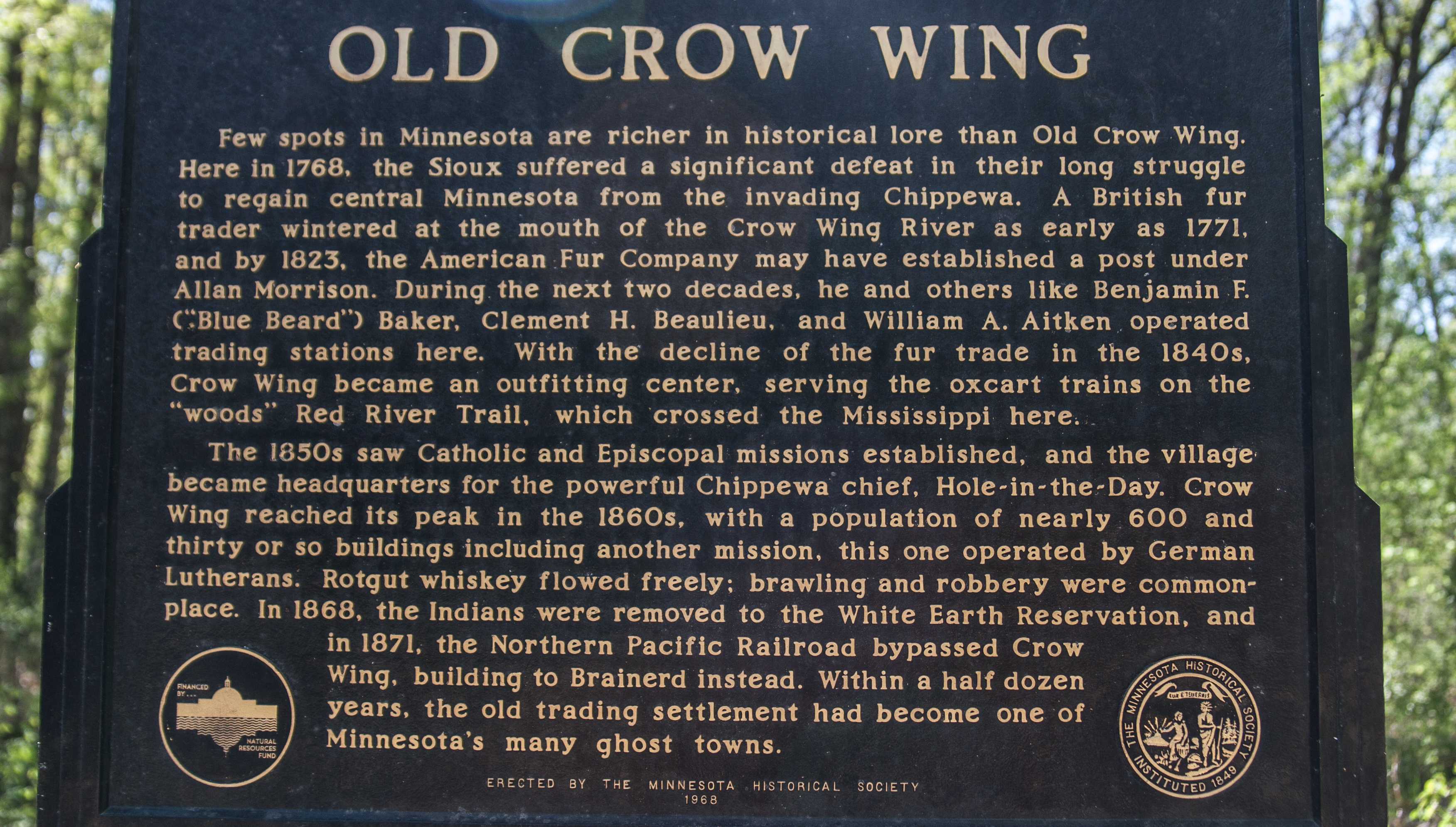
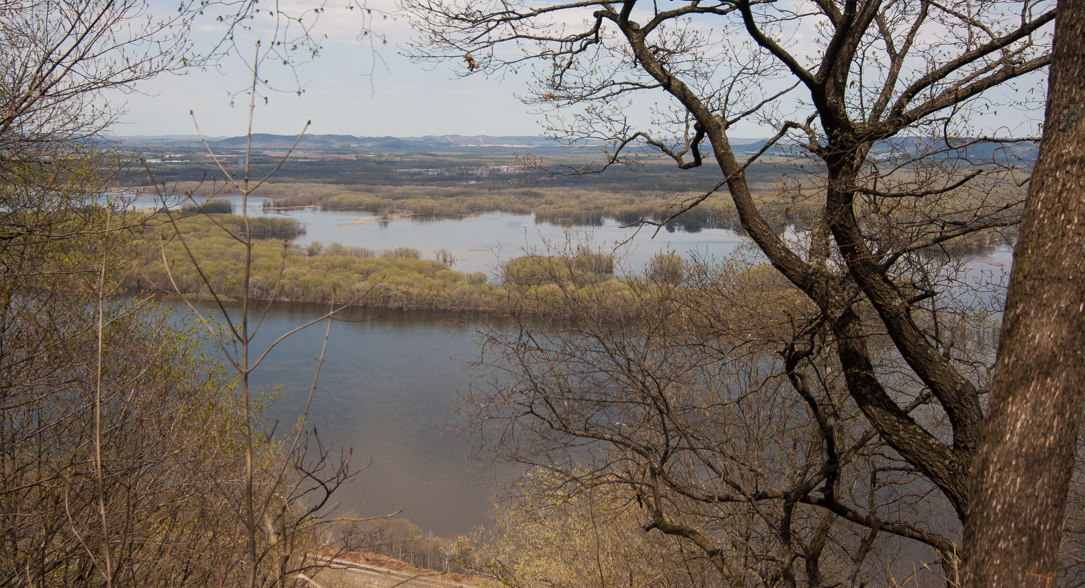
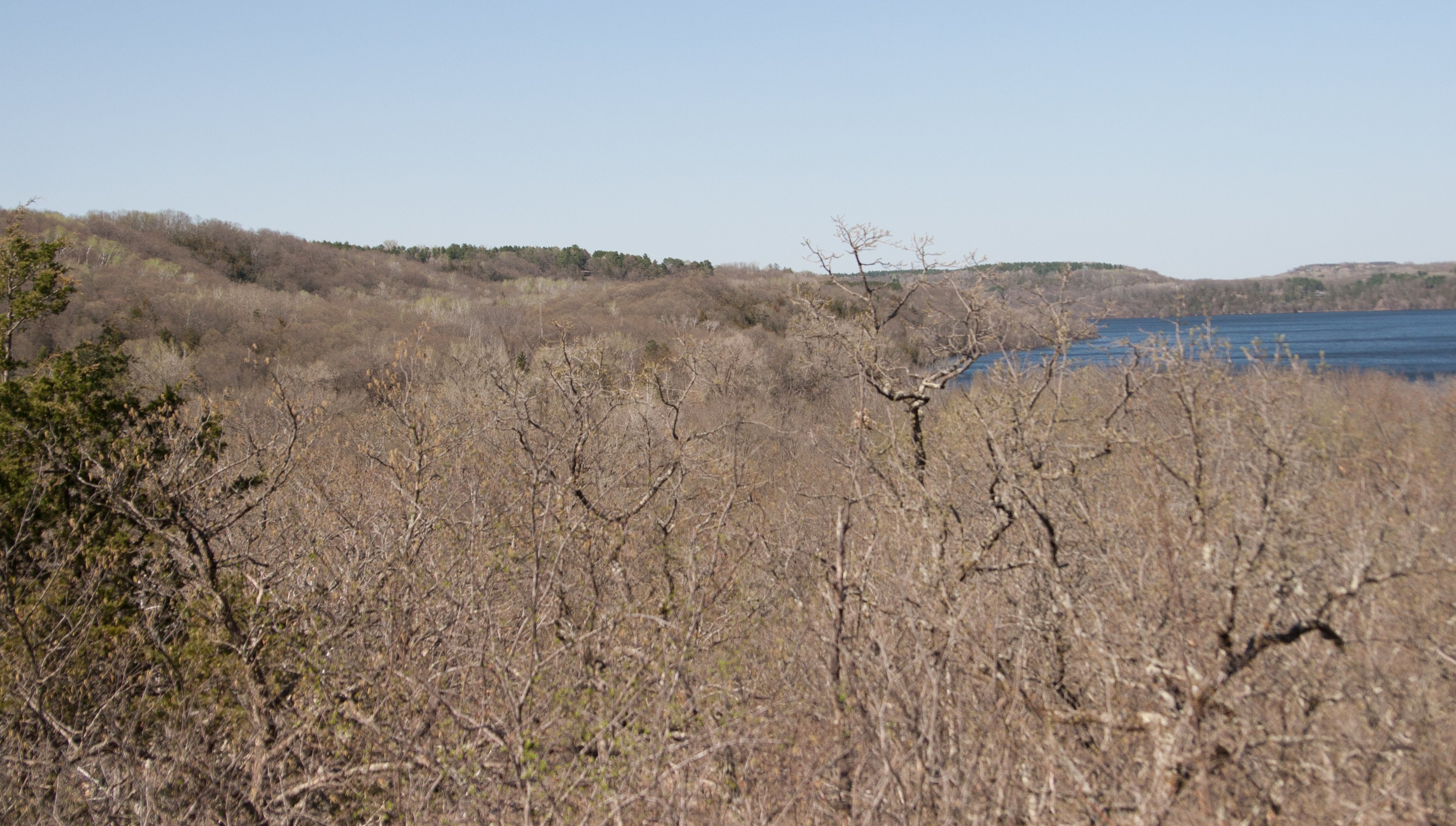
the first stop was upper sioux agency. if there’s one thing that visiting state parks has taught me so far it’s that american indians have gotten the crap end of the toothbrush (not that i didn’t know that before, but good grief it’s just so overwhelming infuriating and sad to read about it at every stop).

i drove through granite falls to get through the park, taking a meandering river road with wisps of fog rolling along the edges of the trees. then suddenly i dipped up from the valley and onto the rez, alongside the requisite casino. a short way down the road was upper sioux.

like i said, it was rain city, so i didn’t spend a lot of time here. but there were some information items about the dakota uprising and how this confluence of the yellow medicine and minnesota rivers was originally a native homeland. seems like a lot of these parks preserve confluences that were once sacred to american indians.

*******

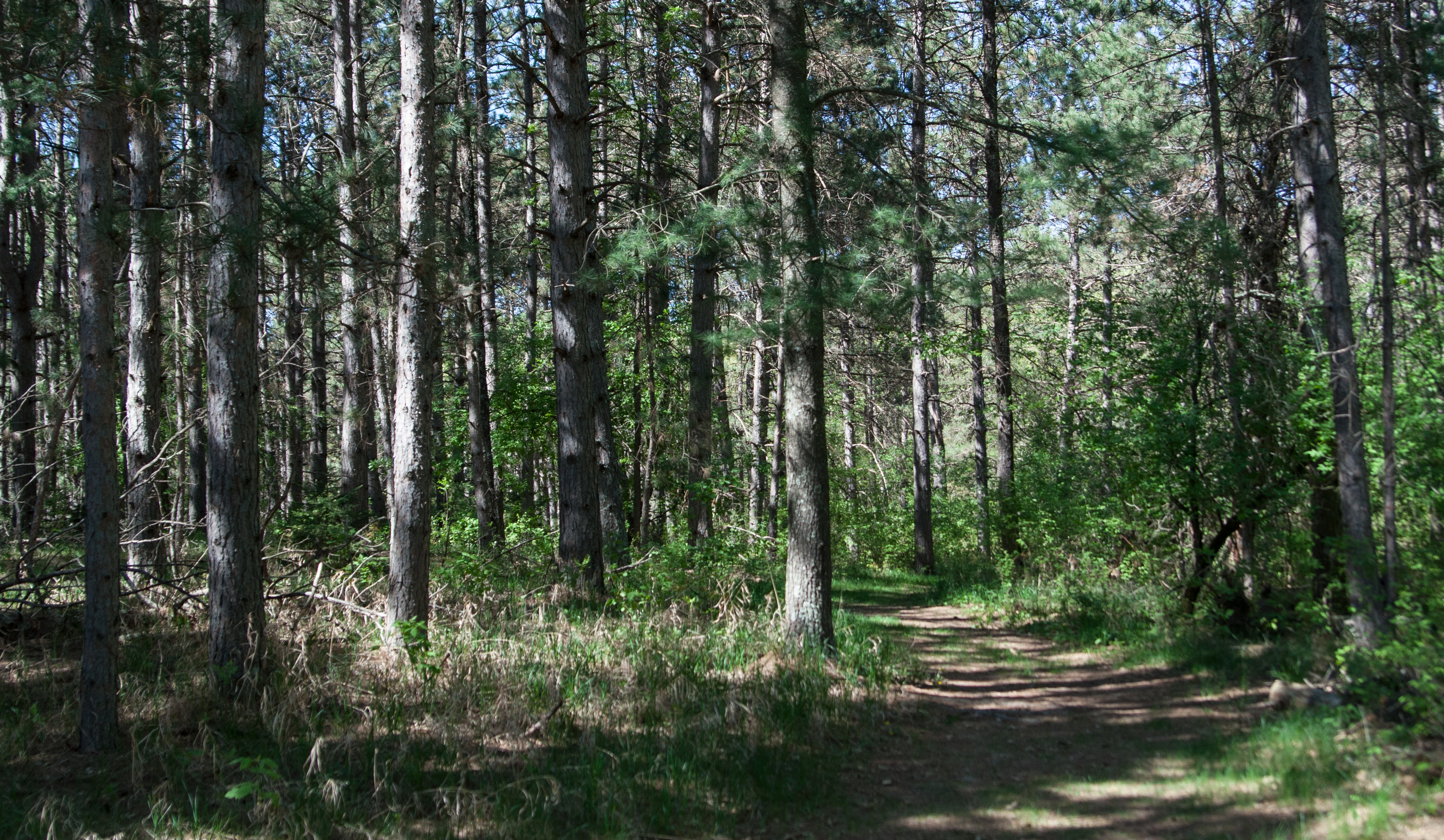
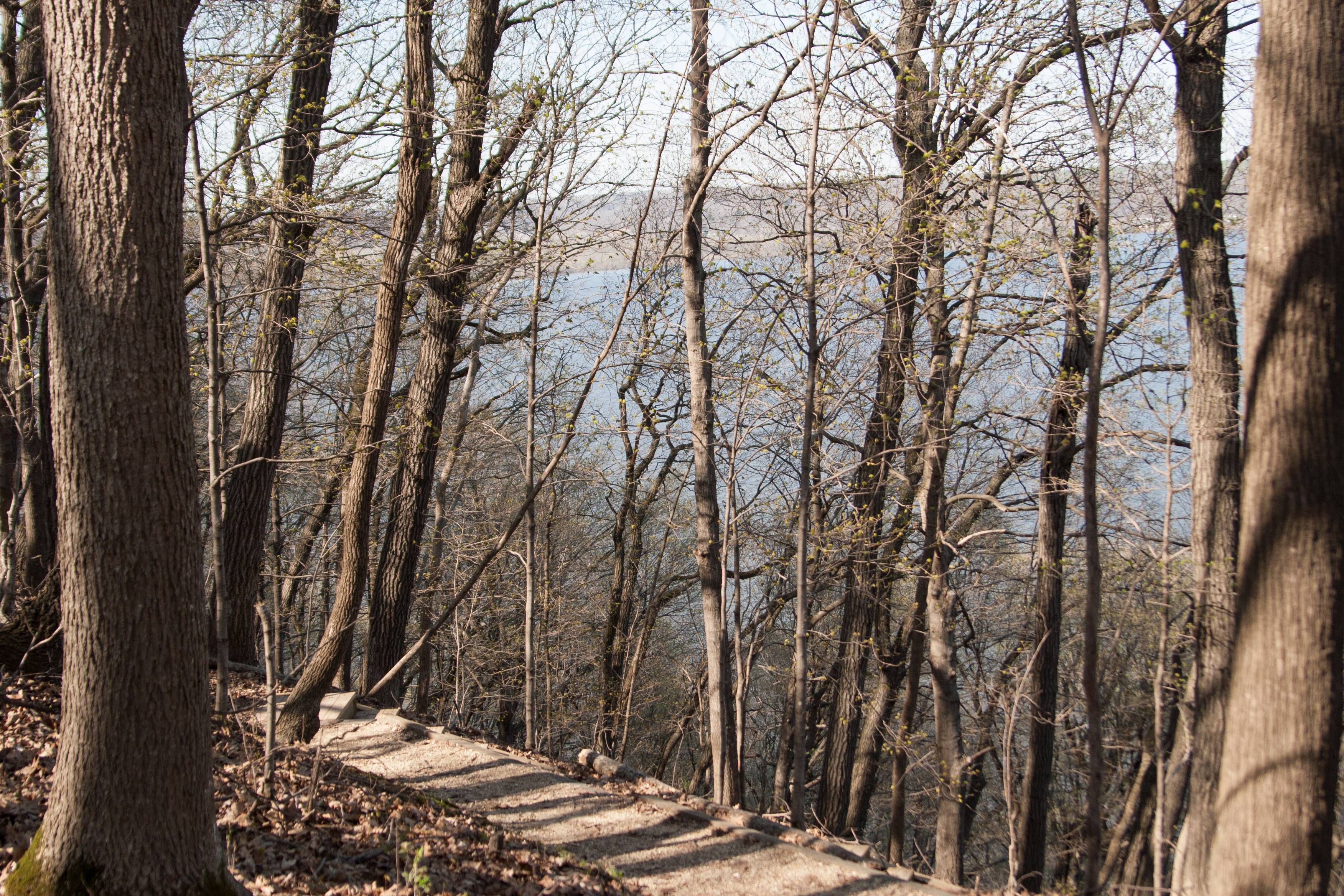
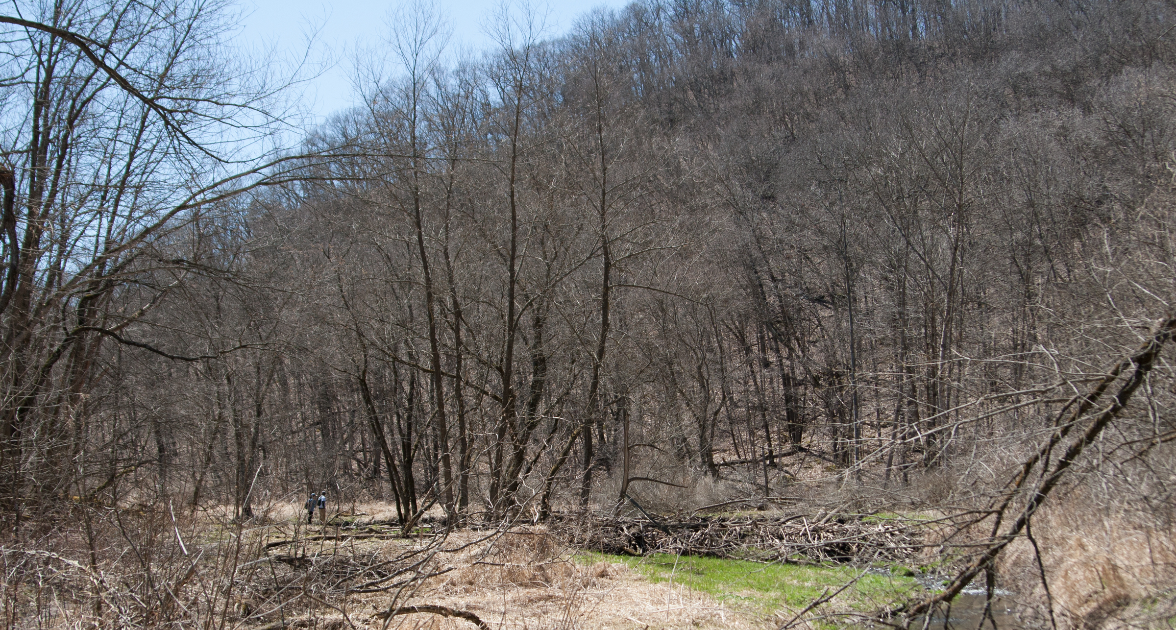
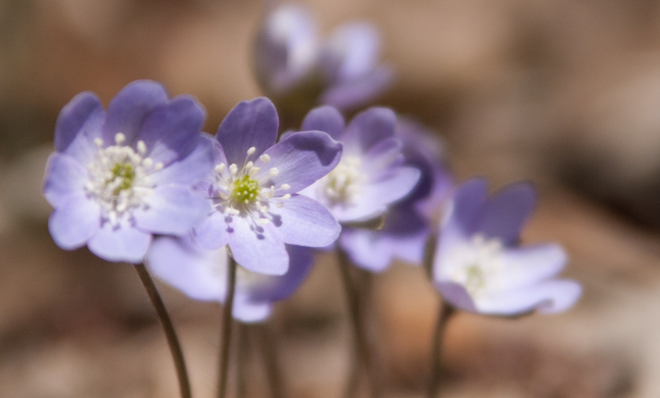
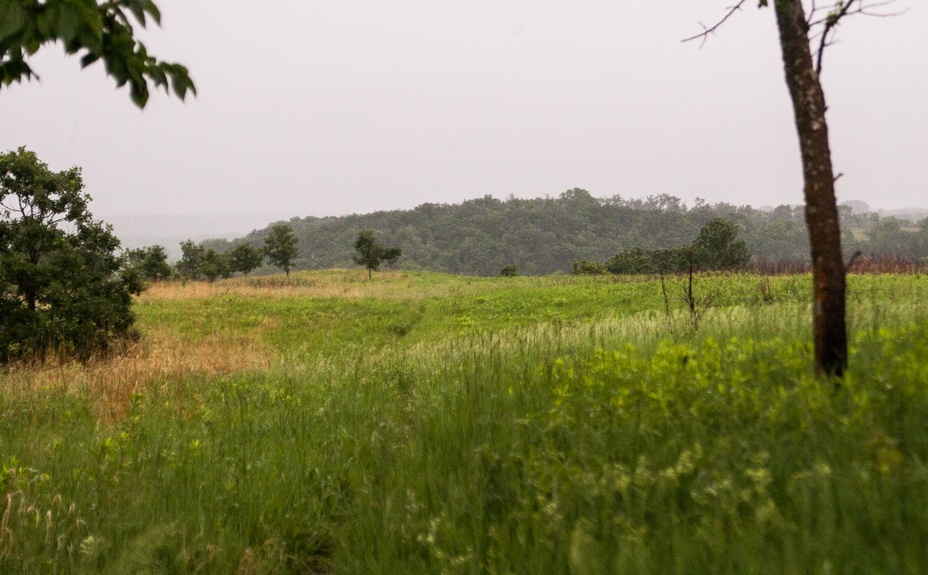
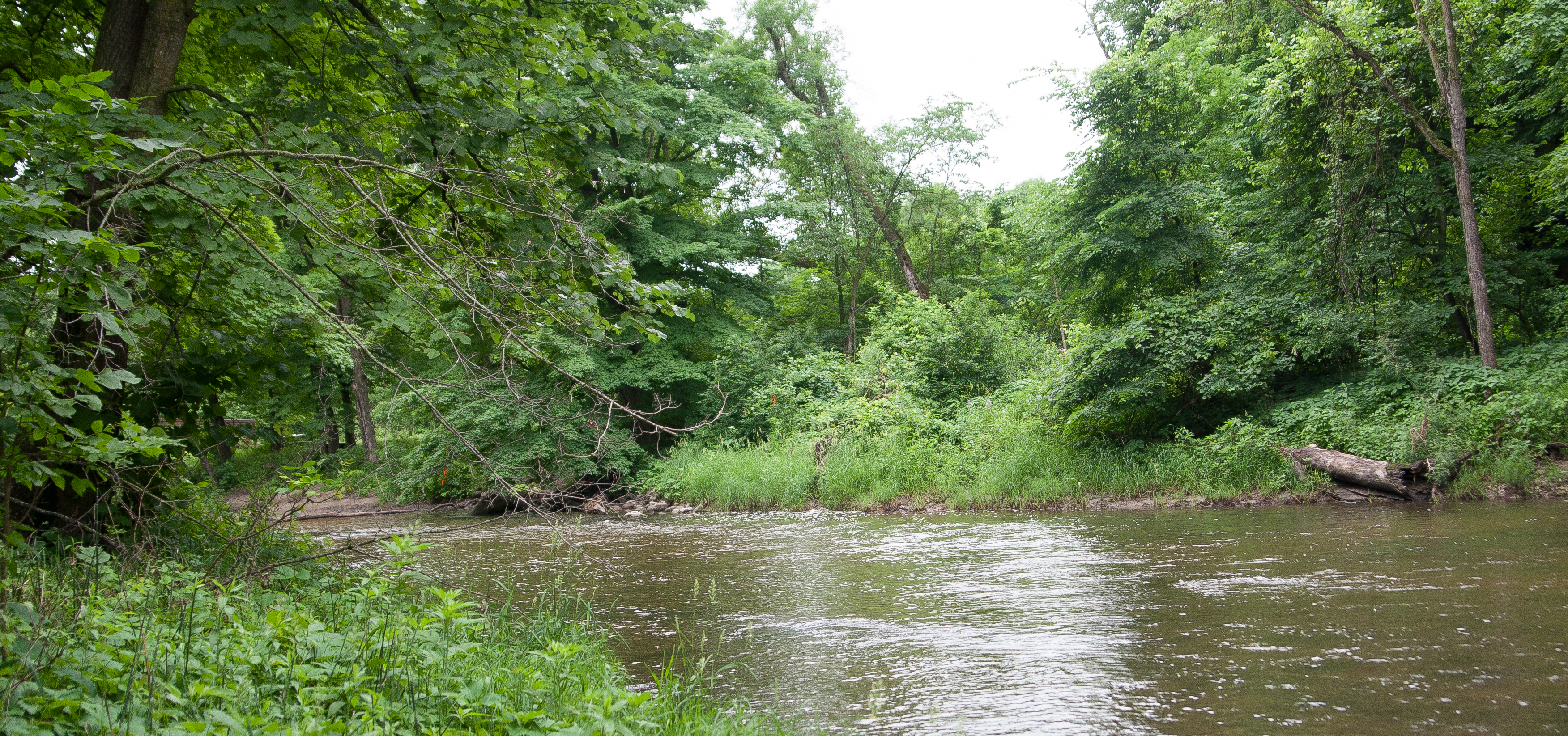
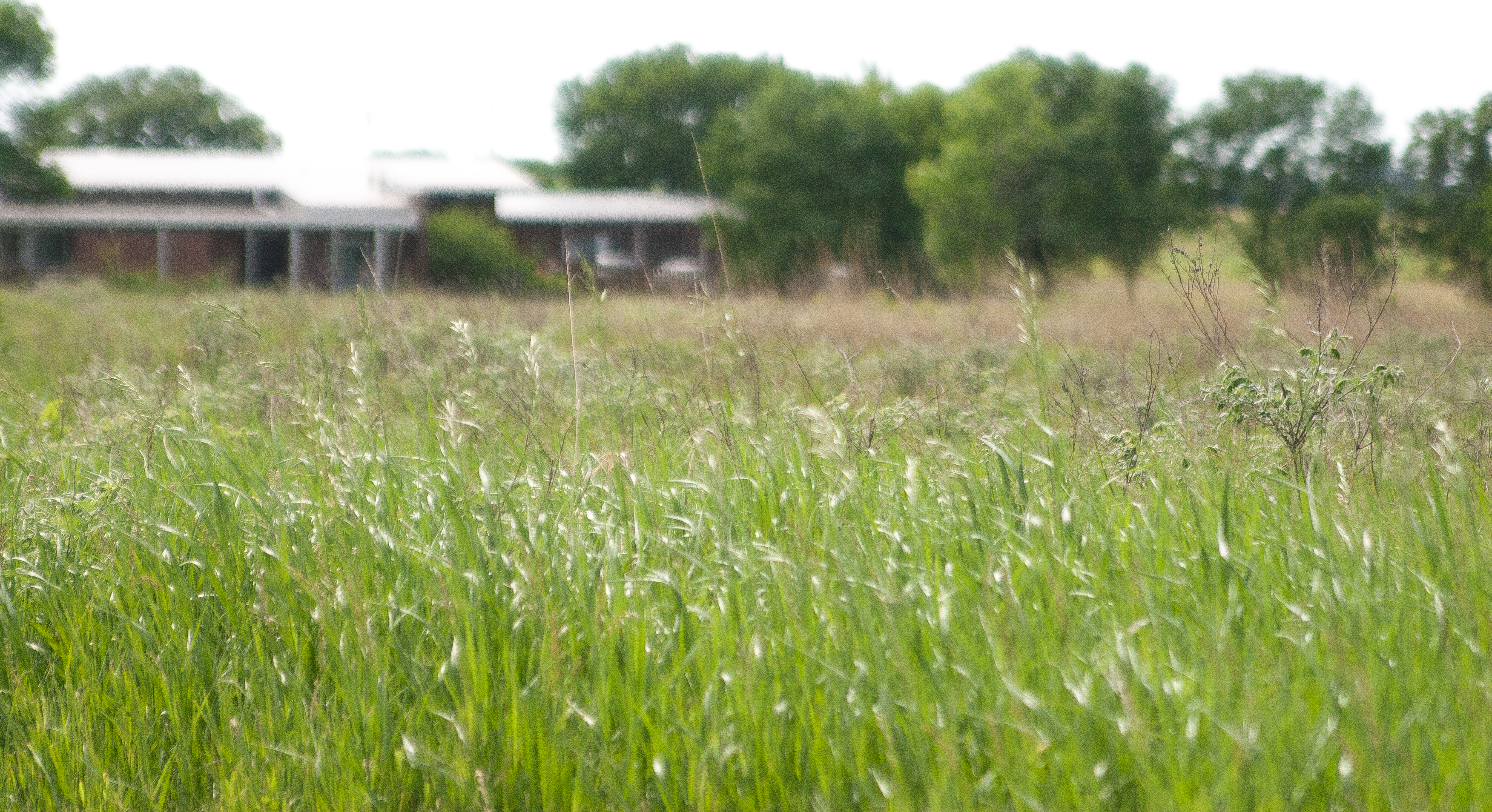
i continued southwest to camden state park, which has a spring-fed swimming pond and great fly fishing. i took a break to eat some lunch and took a short hike to the river.

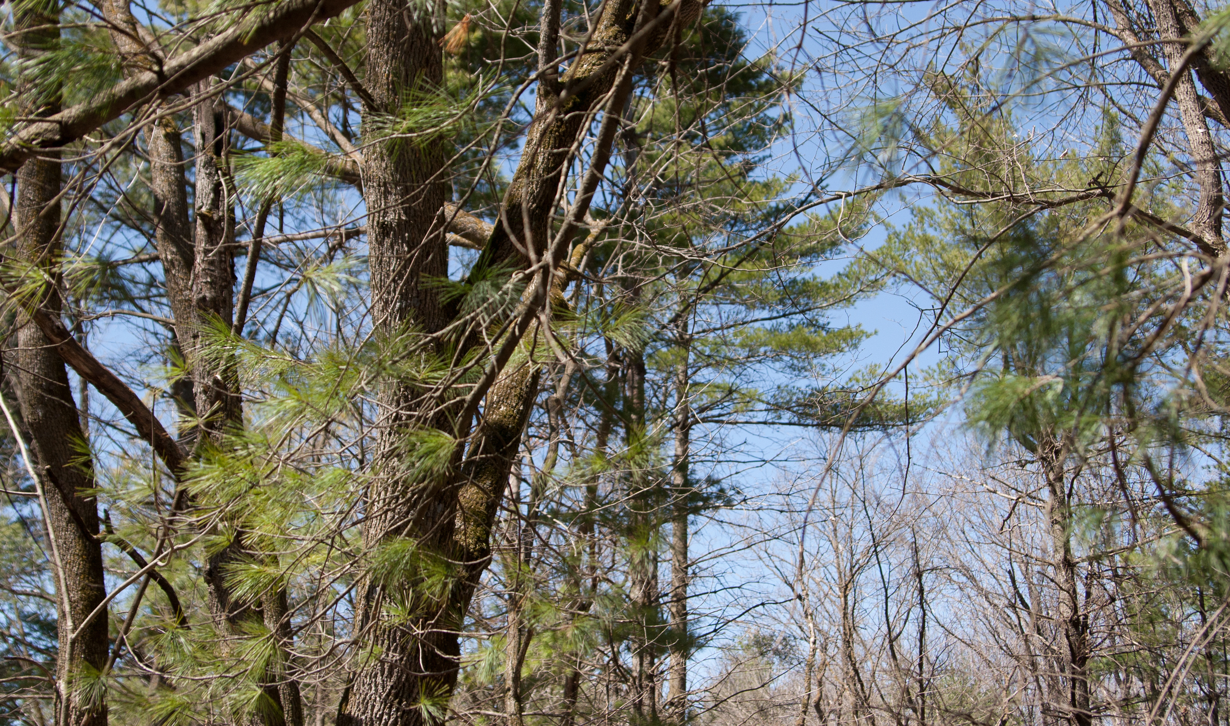
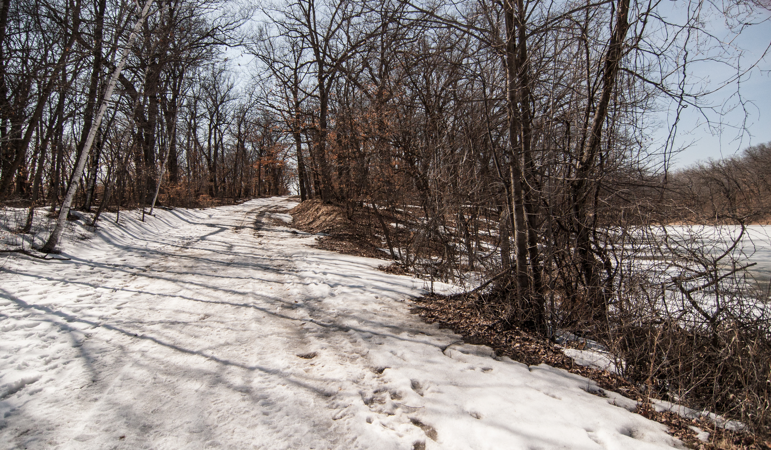
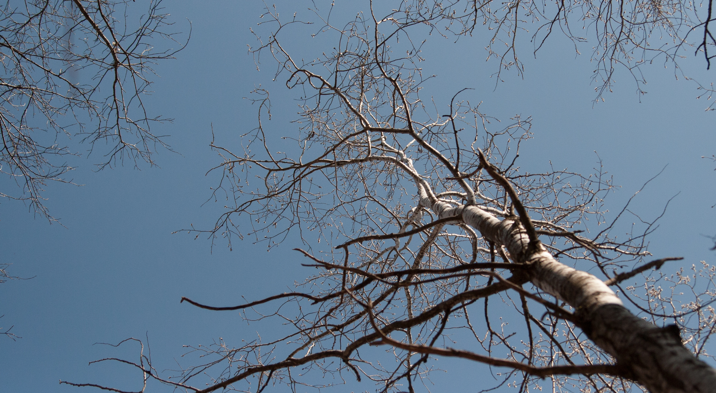
driving along the prairie grass and farmlands that suddenly give way to river valleys where these parks are is kind of disconcerting. all at once you are disoriented, wondering what happened to the wide open skies that are now crowded by trees (i prefer the trees).

******

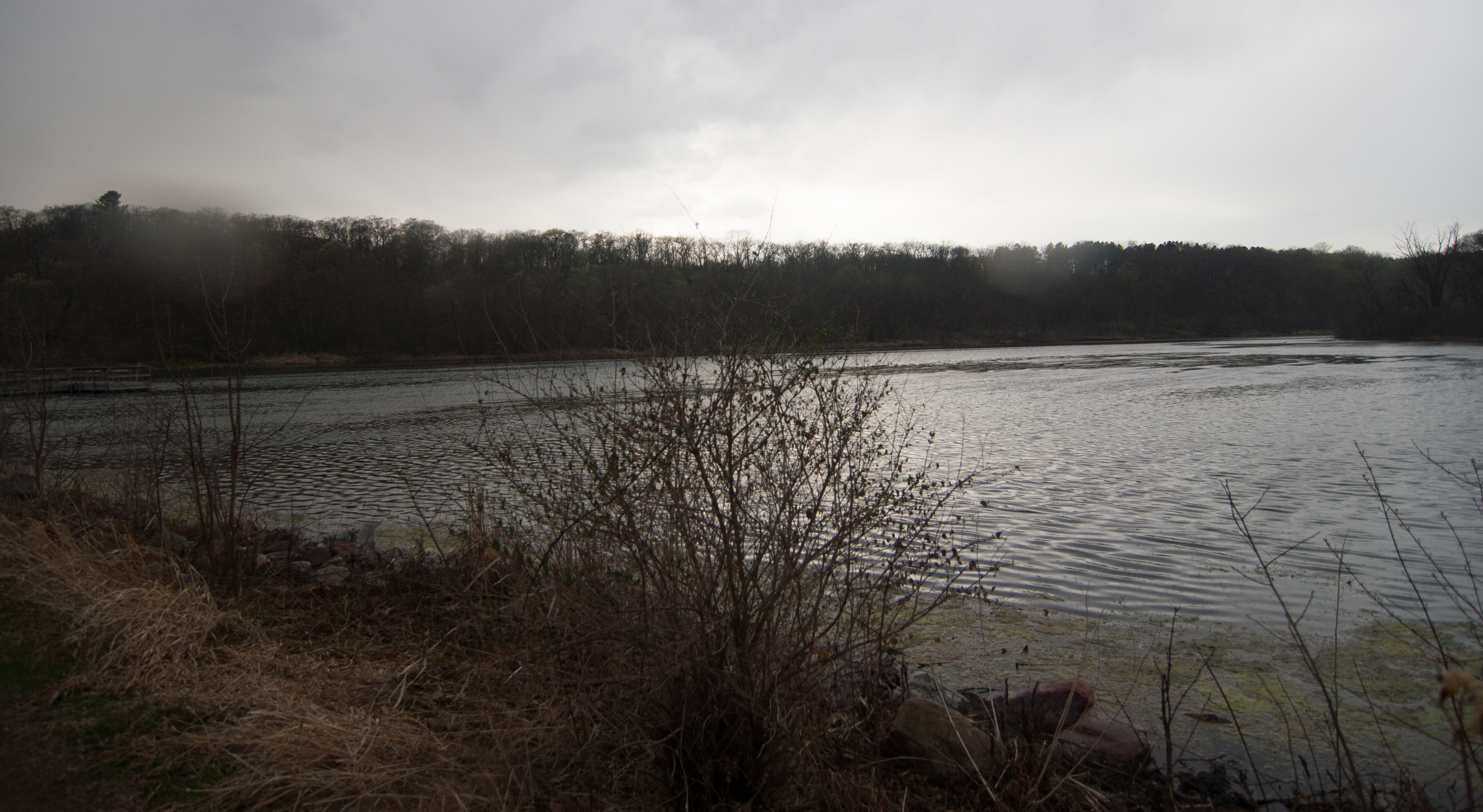
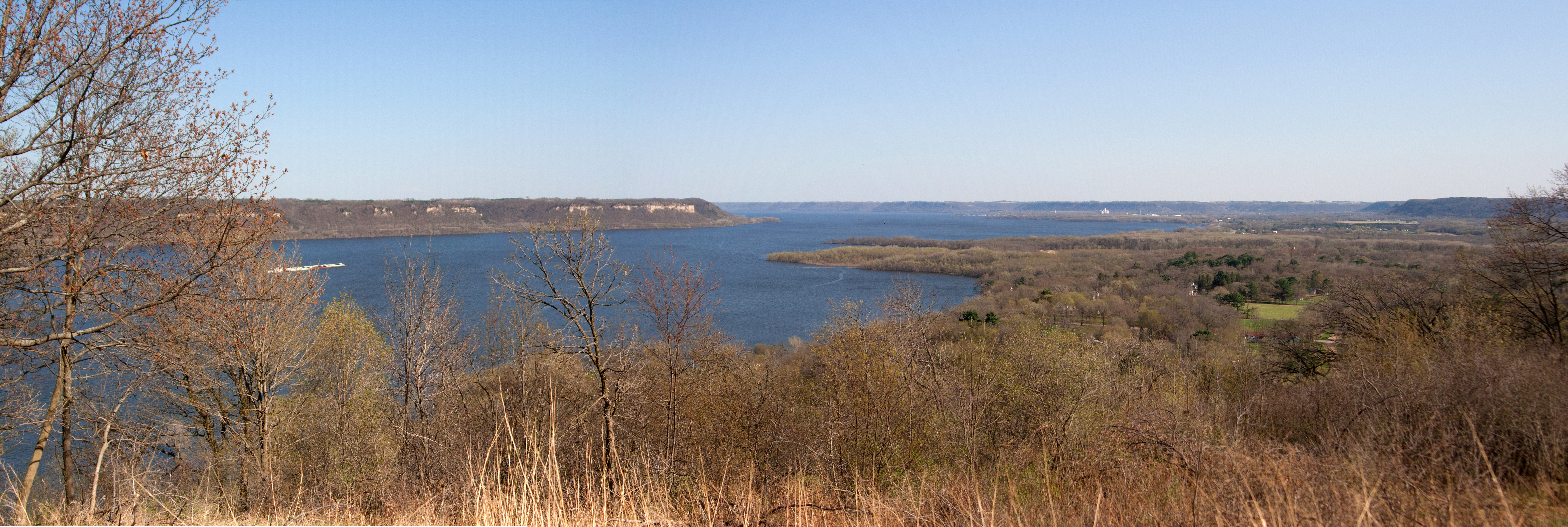
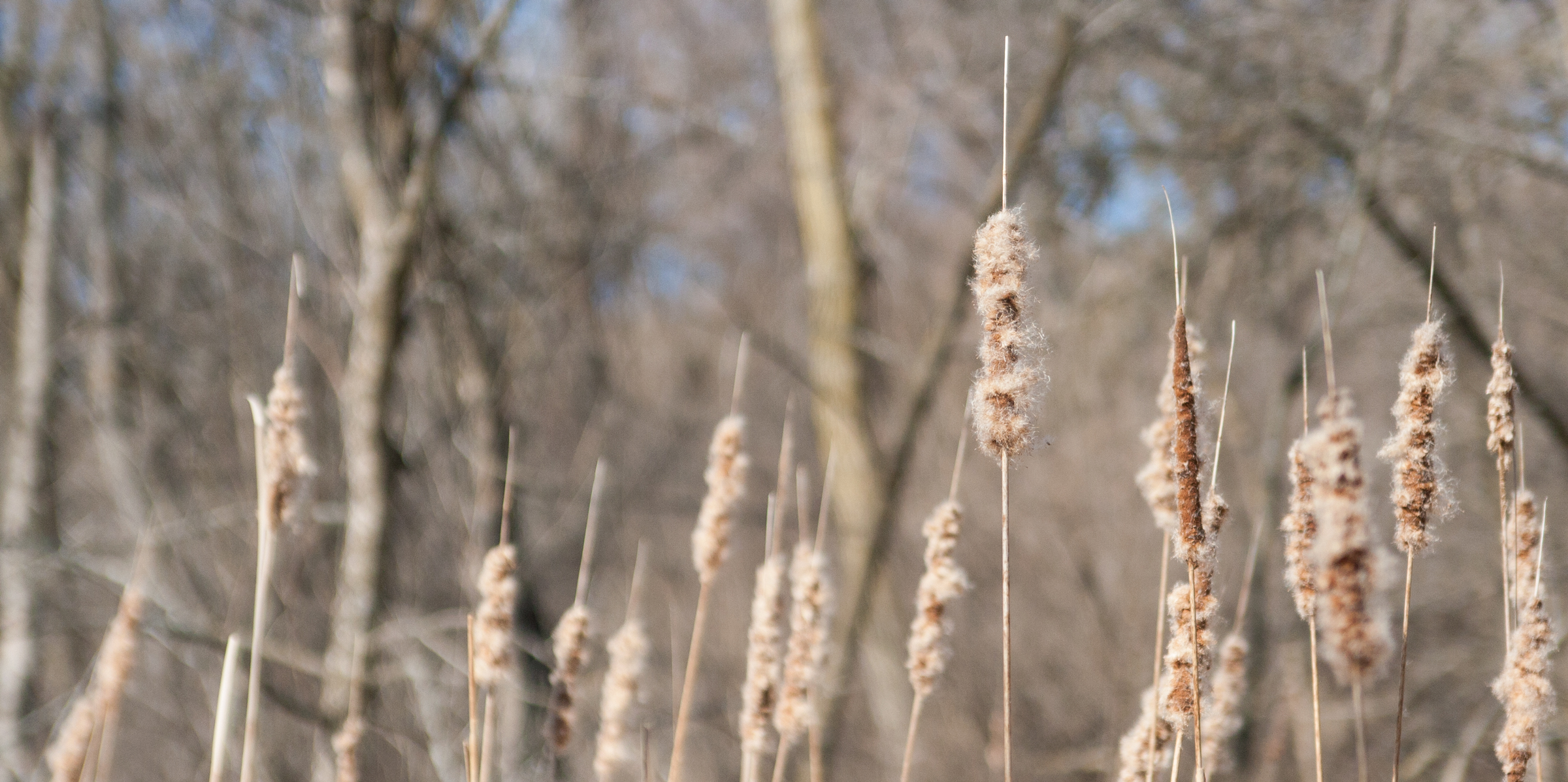
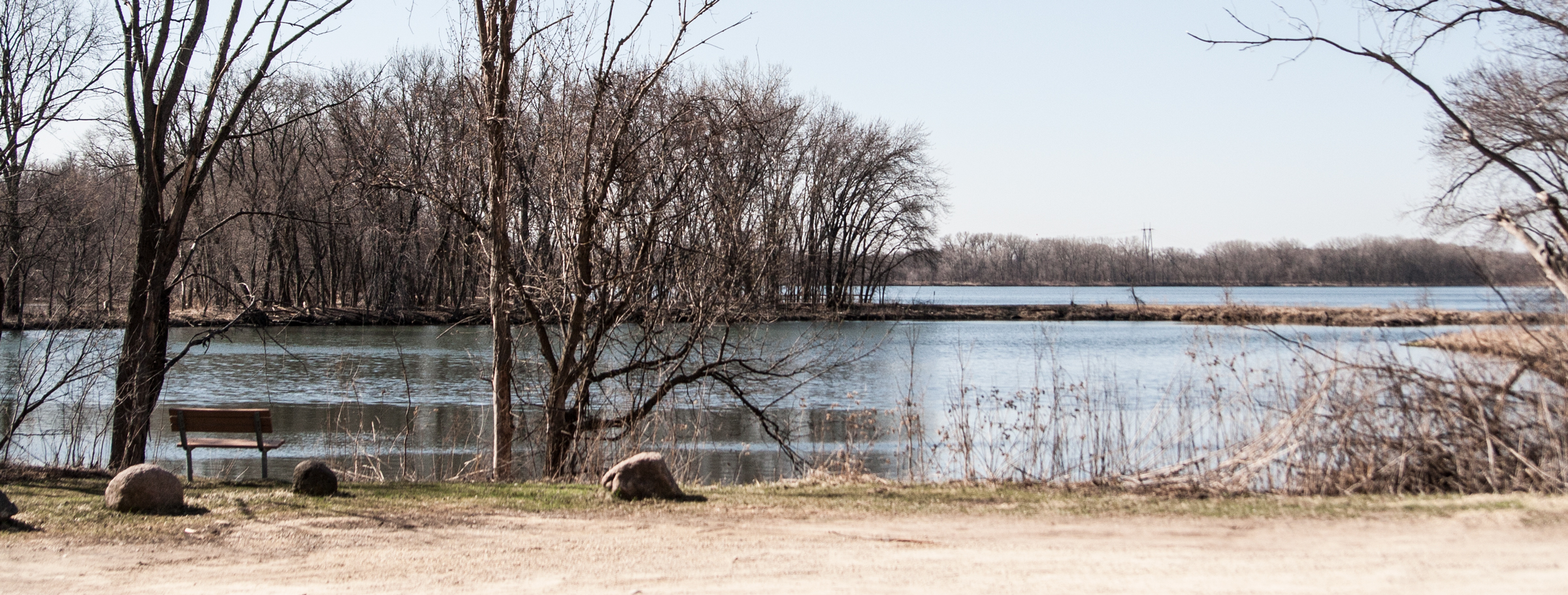
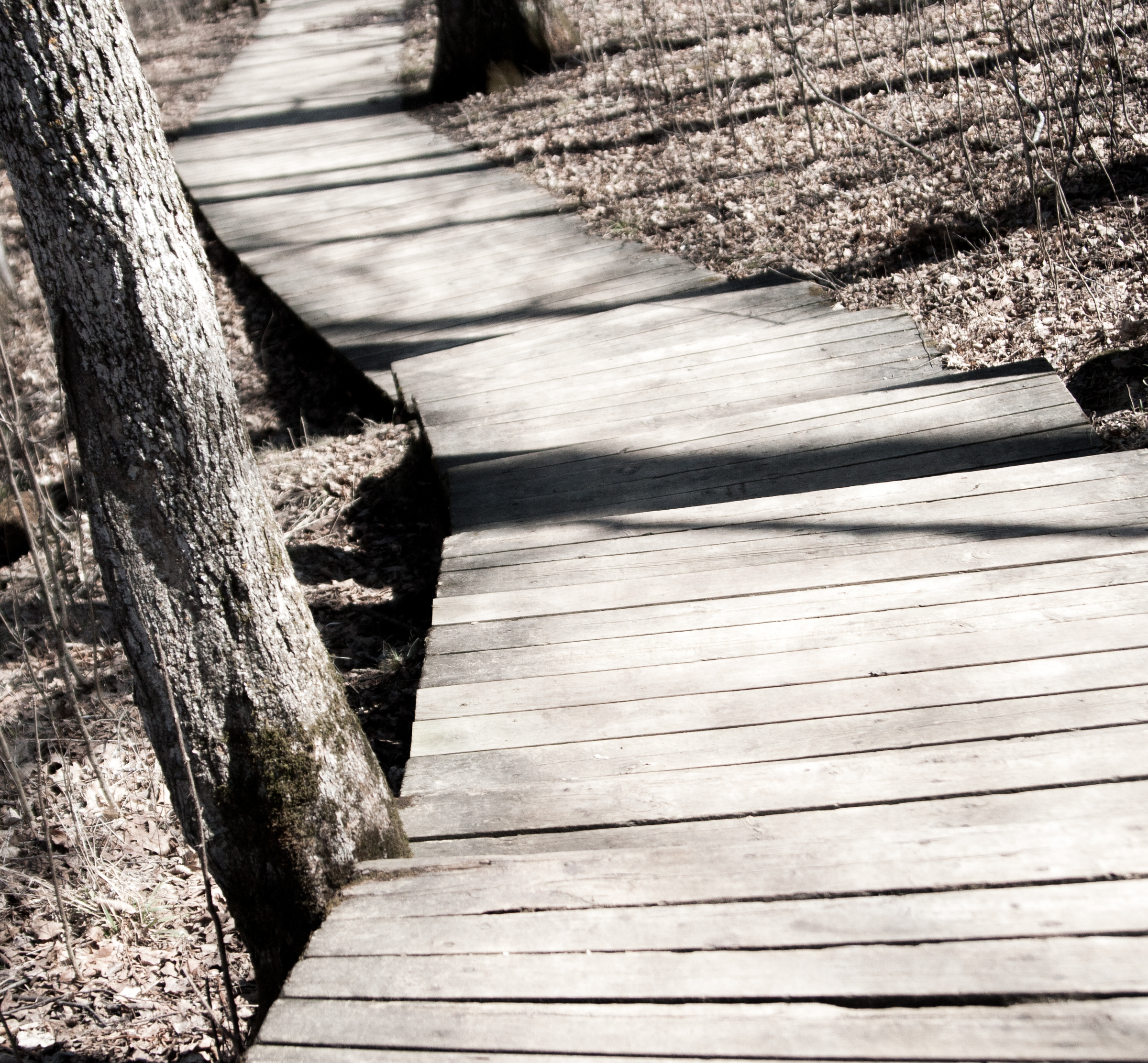
it becomes pretty apparent pretty quickly that lakes in southwest minnesota are highly regarded. lake shetek seemed like an urbanized park. the lake itself was ringed with homes, the park itself carving out a small section of the shoreline. and it was a busy park. minnesotans really like their lakes, even if they need to drive 20 miles to get to one.

there is an island, loon island, that is connected to the mainland by a causeway built by the WPA.

at this point you may be wondering why the island is called loon island, as no self-respecting loon would deem this lake cool enough to nest on. i sure was, as i was walking the odd causeway to the island.

turns out it was a case of misidentification. the island was inhabited by double-crested cormorants, which i guess sort of look like loons. they, too, dive. so why didn’t they rename the island? well, the cormorants are gone now too. in the early 1910s, residents thought the birds were depleting the fish population, so there was a cormorant hunt. and it was so successful that the birds have never returned.

*huffs* *shakes head*

humanity is proving itself more and more stupid.

*******

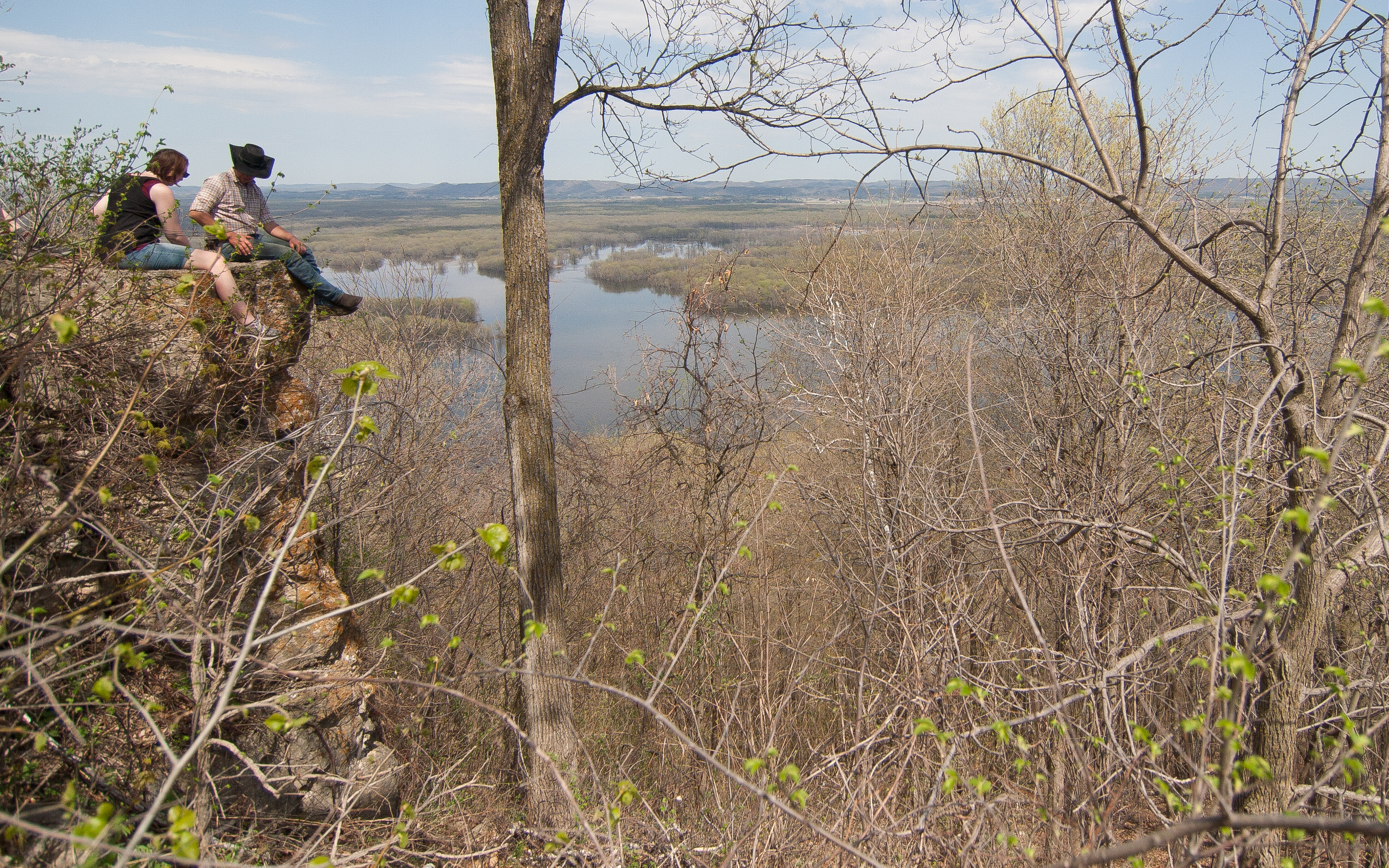
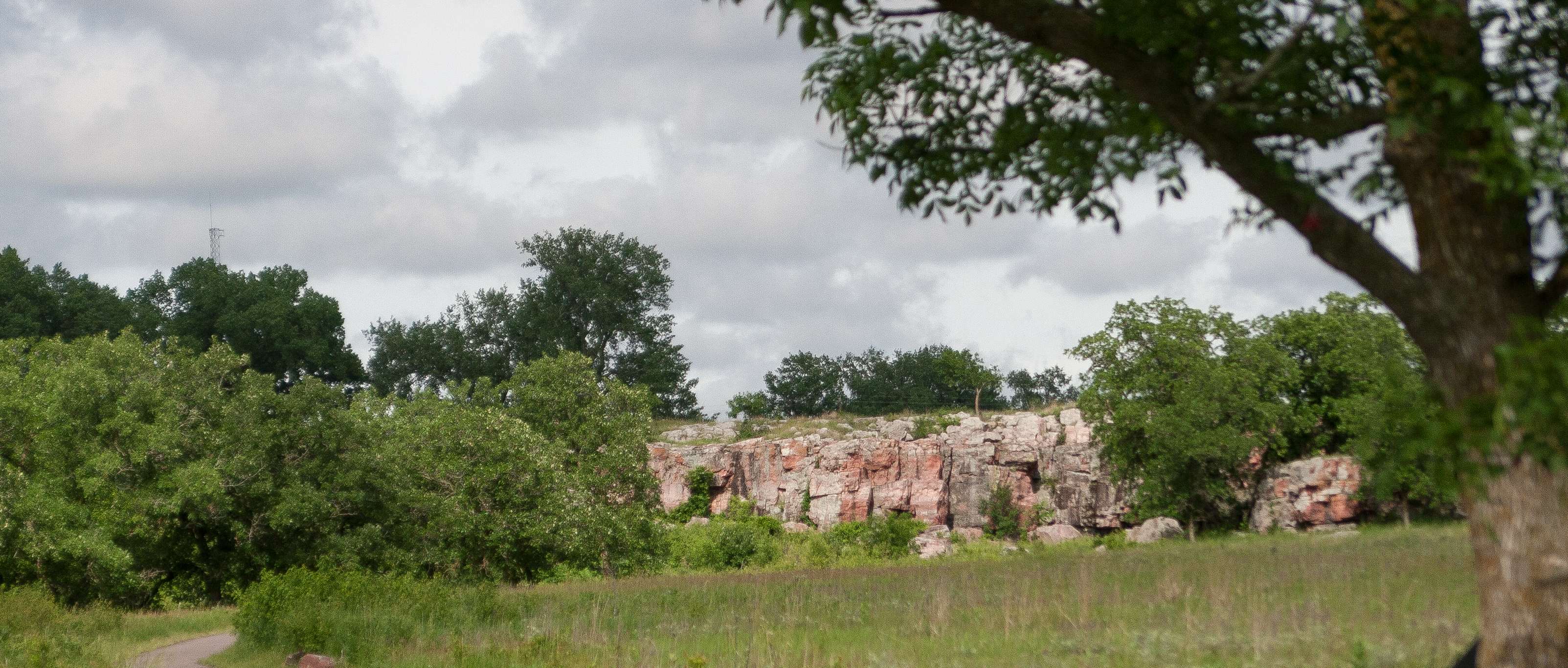
now for something different! i stopped at a NATIONAL MONUMENT. yes, i checked out pipestone.

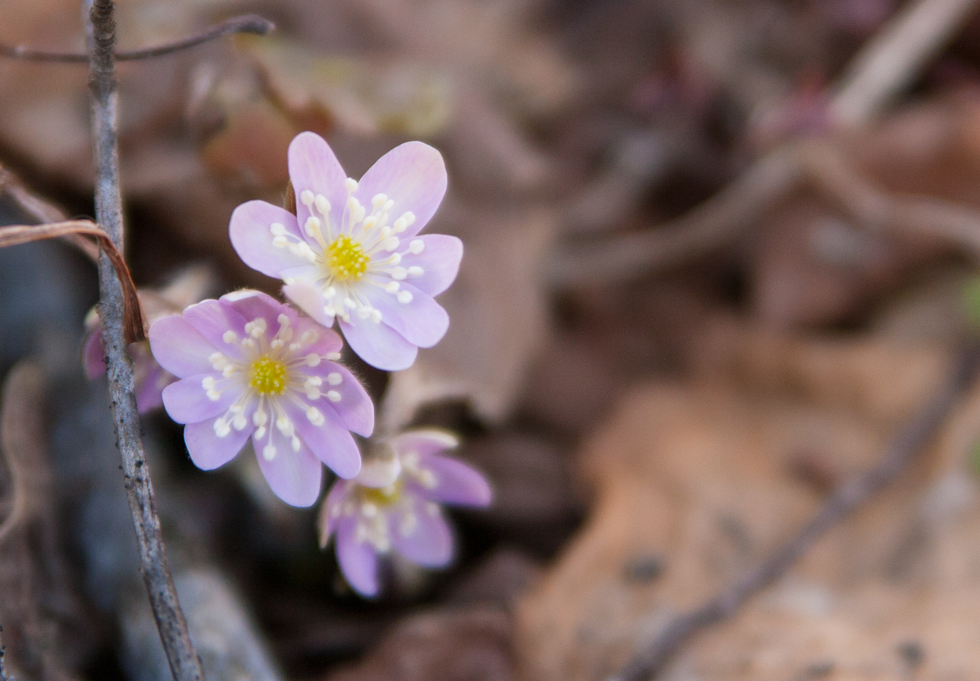
i felt like this was entering true prairie territory. i didn’t spend a lot of time here, just enough to do a short hike through the restored prairielands and to check out the red rocks.

at this point, the sun finally made an appearance and the rain stopped. it was humid and sticky, though not yet hot.

i was itching to get to my campsite.

*******

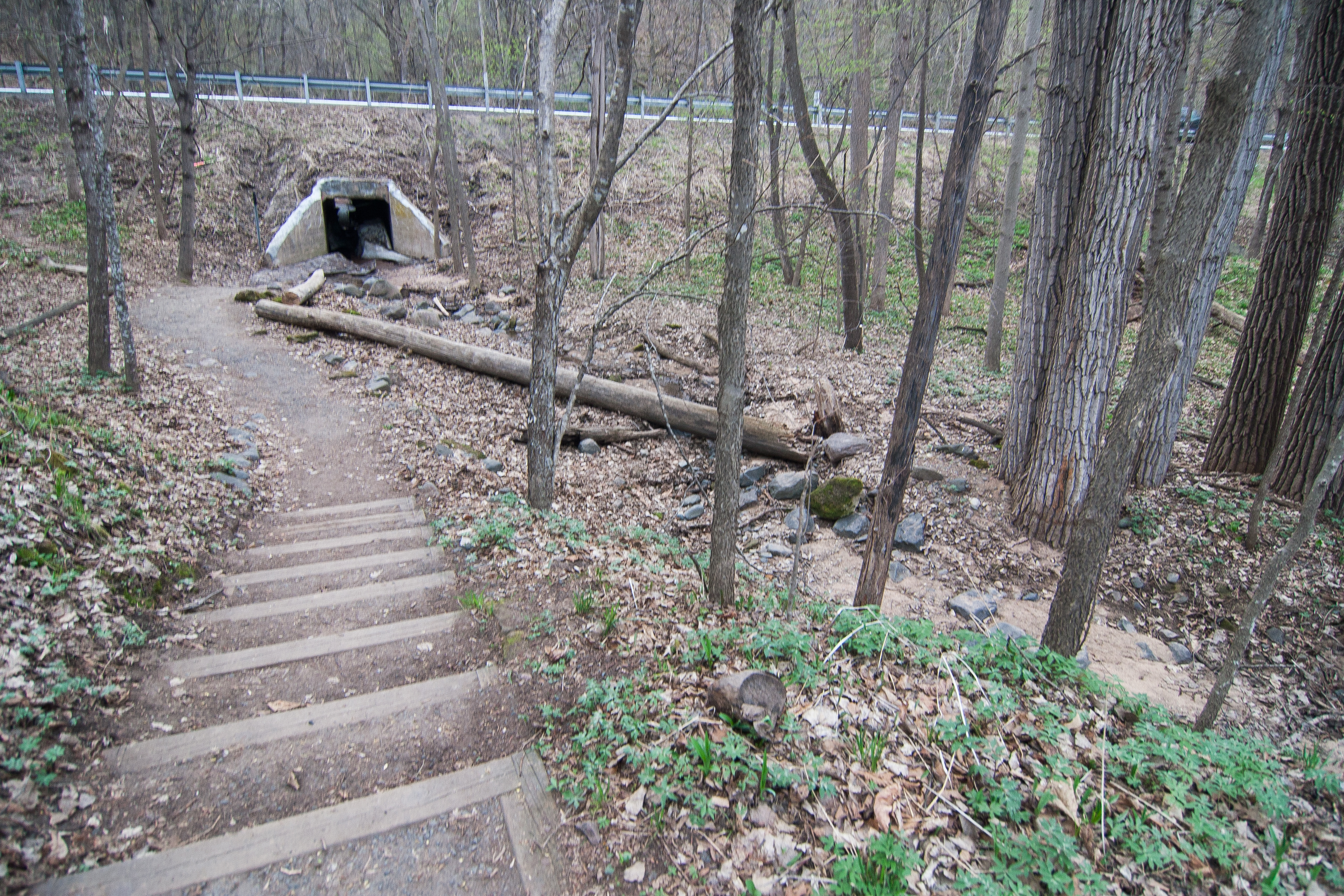
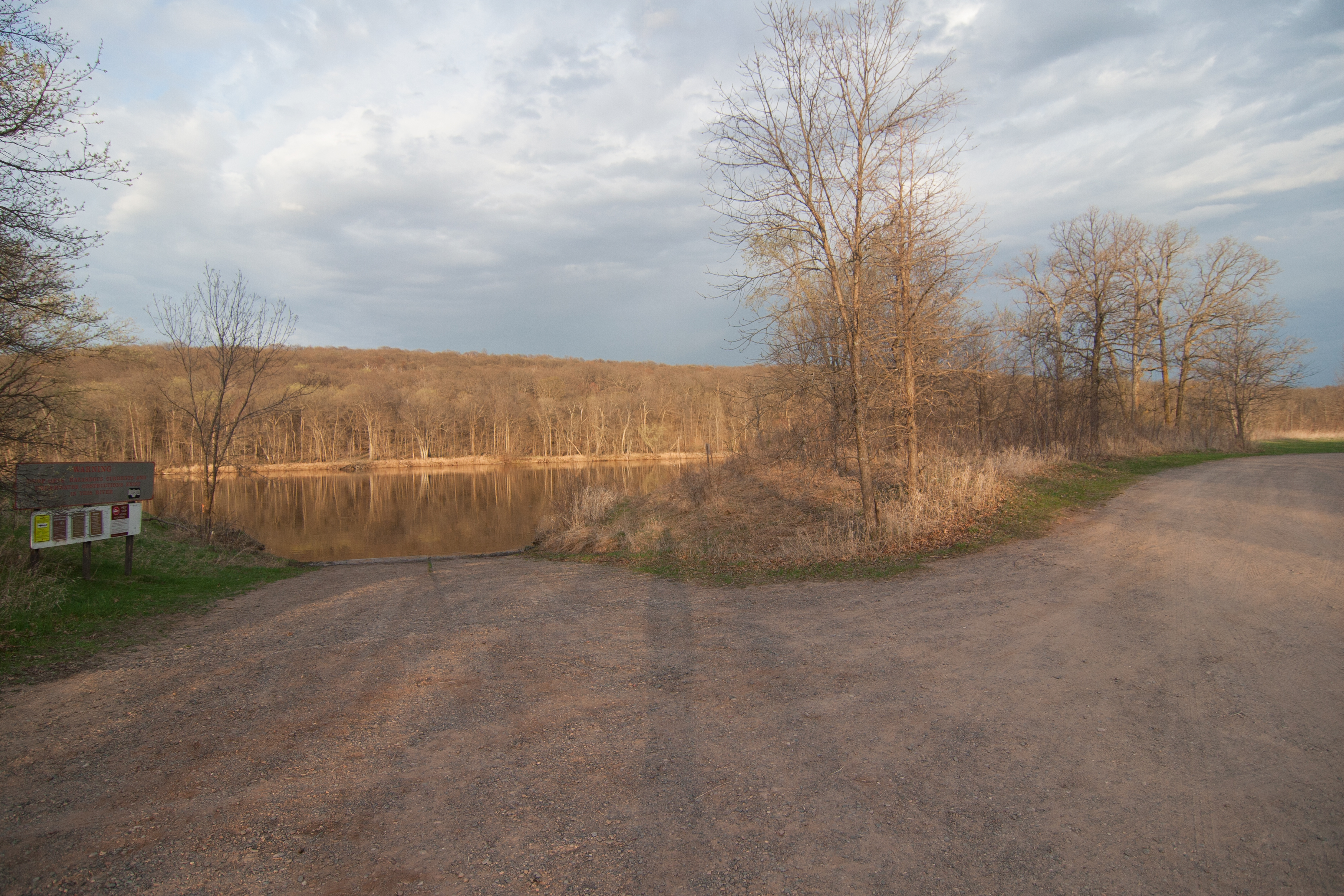
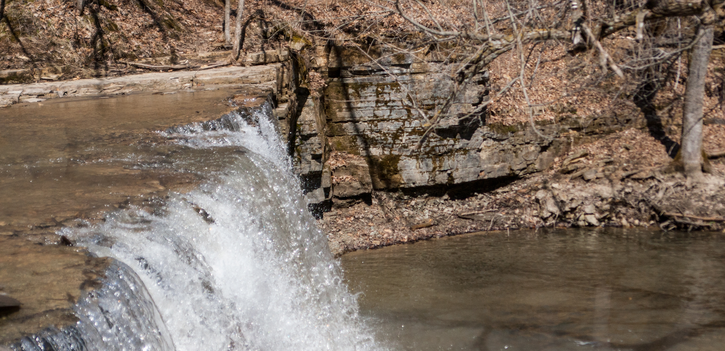
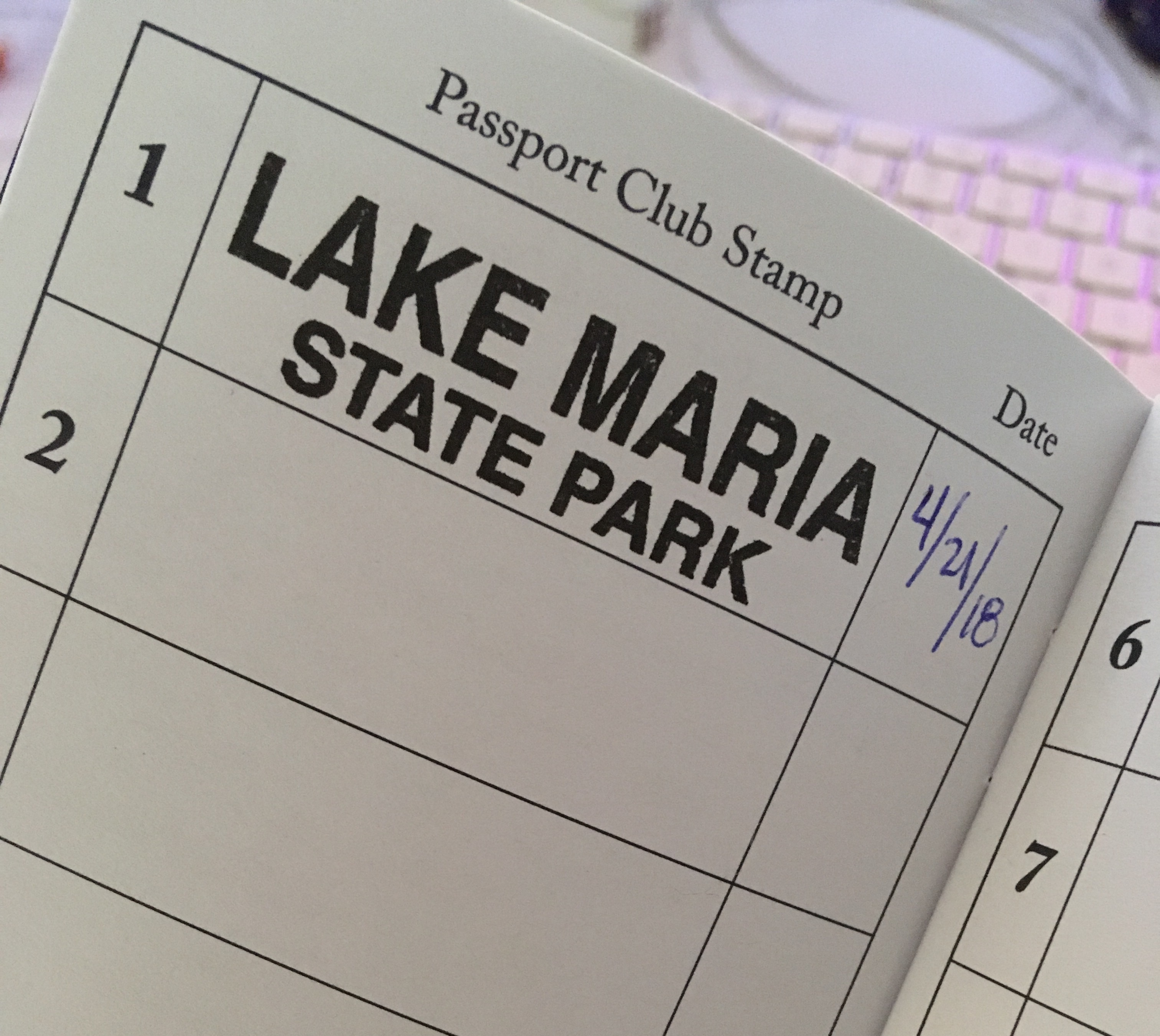
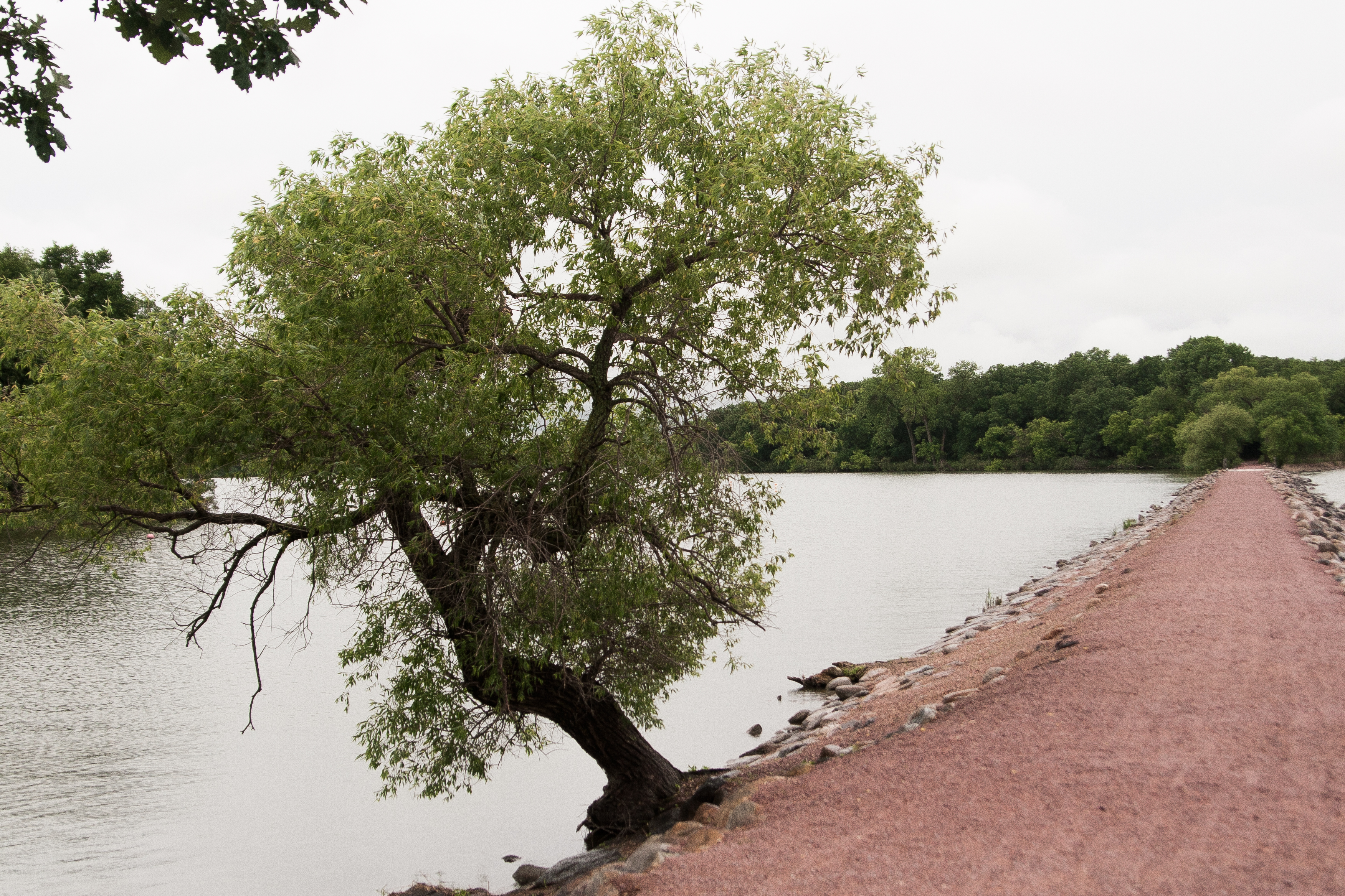
after checking out the local scene in jasper (not much), i headed to split rock creek state park, where i was camping for the night.

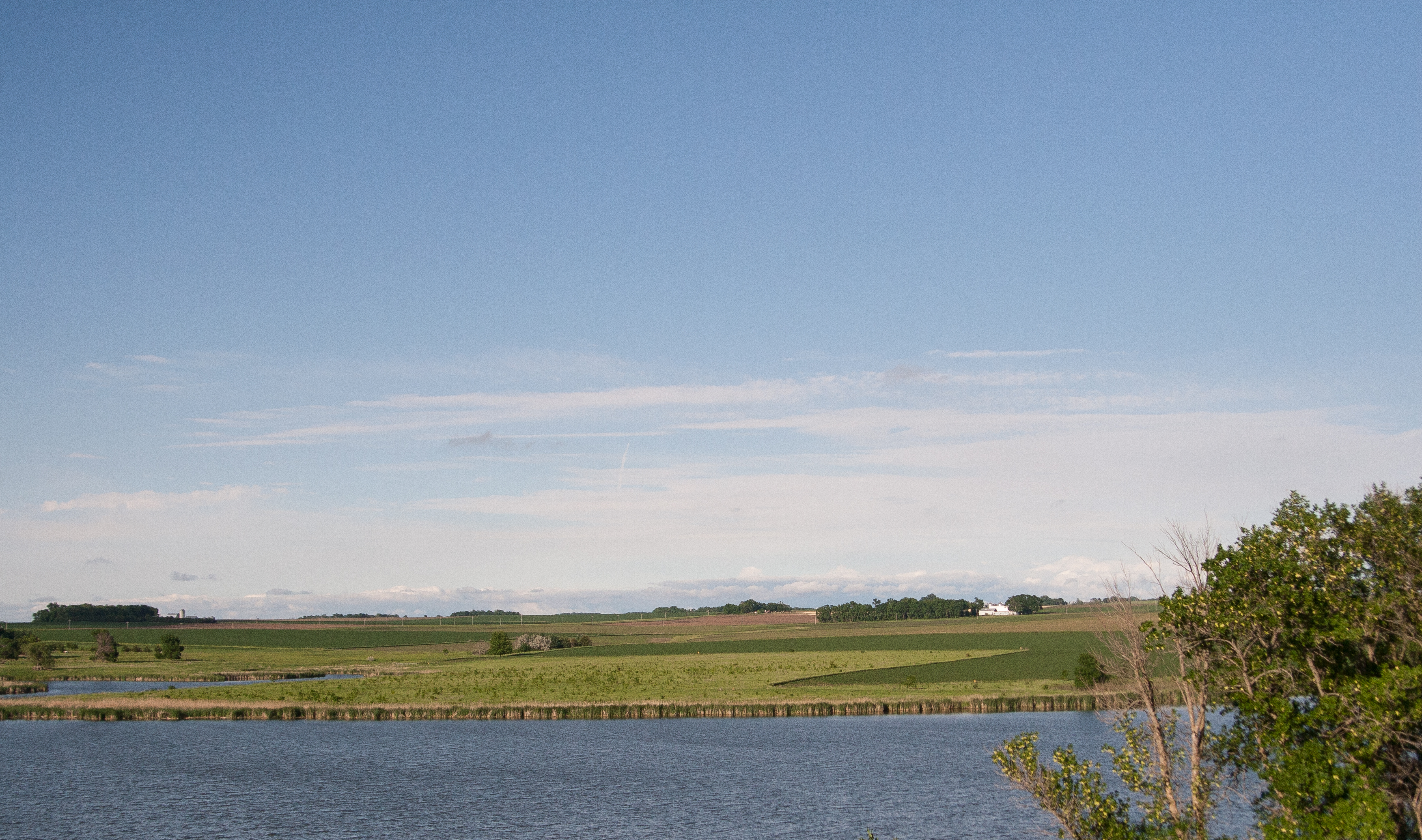
the “lake” was created after the WPA dammed up the river, making it the only lake in the county.

let’s talk about dams for a moment. i want to learn more. i like the idea of lakes created, but i also like the idea of letting nature take its course. i like the idea of hydro-electric, but i also like it when salmon can swim upstream. a book that’s been long on my to-read list is john mcphee’s “in control of nature” which delves a little more on the subject. one of the info-stops along the hike to the dam mentioned how flooding has damaged the dam more than once.

maybe it’s nature saying get a clue.

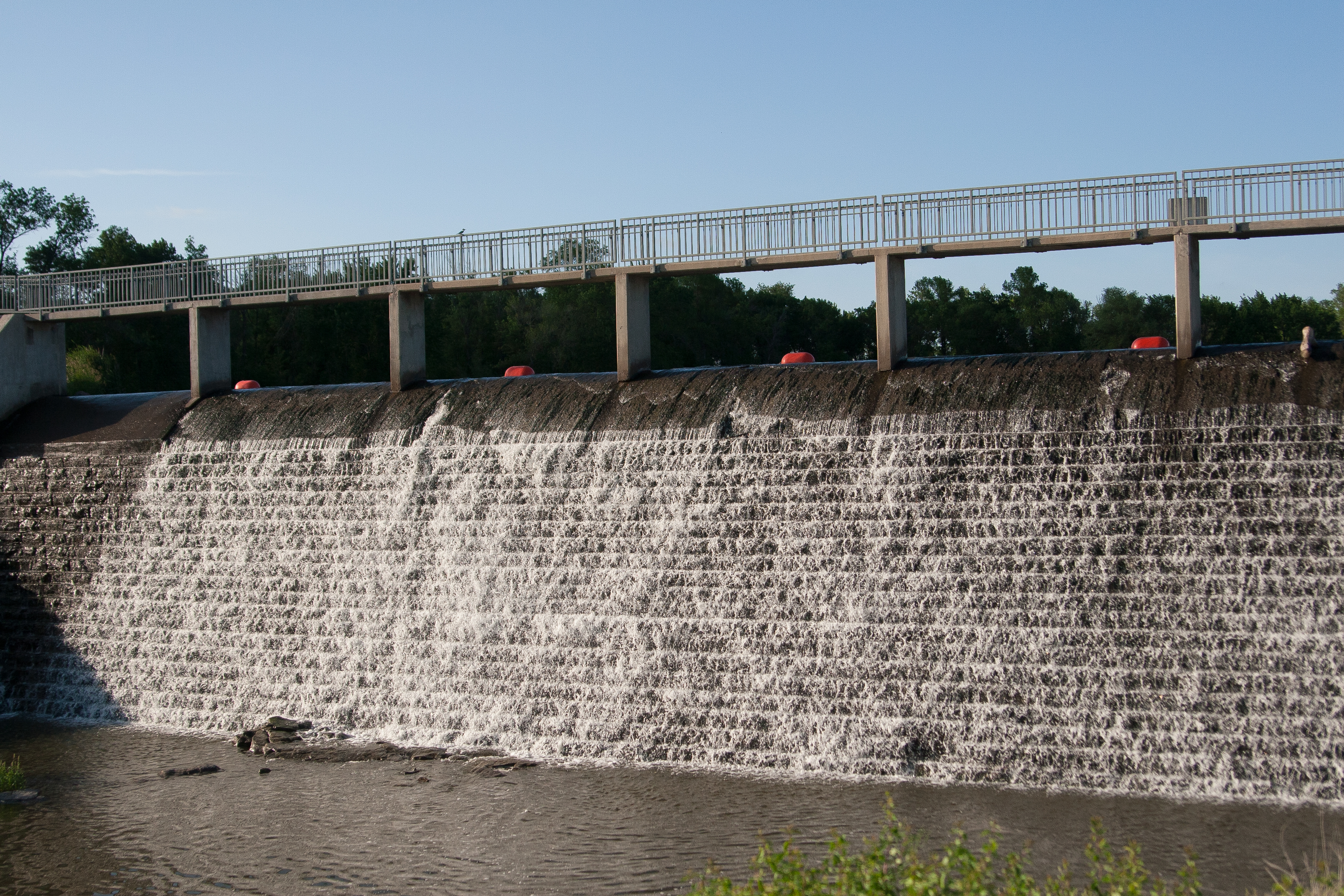
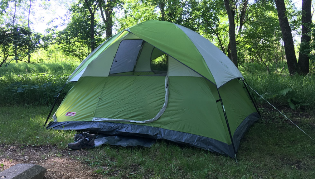
that aside, i checked in and drove to my campsite, which was a little small and made me happy i had only a 4-person tent. set everything up and ate supper before heading out on a hike along the lake and to the dam.

then i read a book in my hammock and felt generally weird about camping alone.

not gonna lie: it’s not about safety; it’s about company. i spend a lot of time alone in my life. nate works overnights, so i occupy myself a lot of the time. but short of a couple work-related things, i don’t travel alone much. or at all. i’m traveling with someone or to someone. and even though i’m a giant introvert and pretty quiet, having someone else with me at the campsite would’ve been nice.

but i survived.

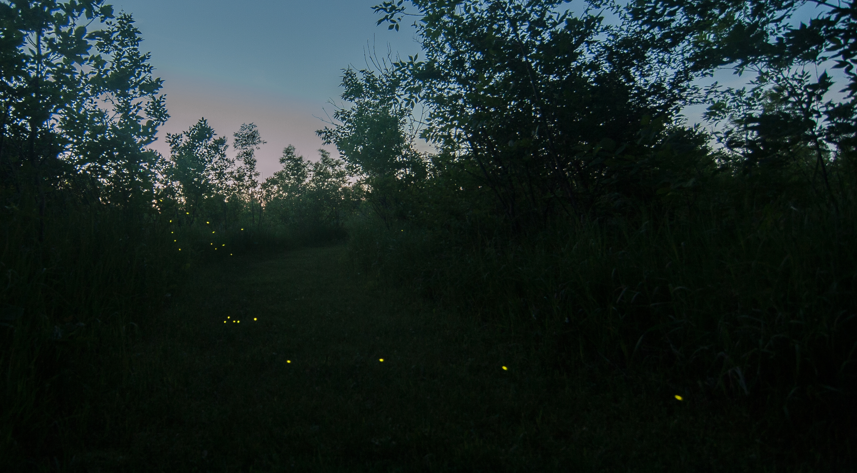
once it got dark, i was going to try out some star photography. around 9:30, i saw the stars start to peek out, so i decided to wait until 10:30 or so. then it clouded over around 10. well that was the end of that.

but i DID get some fireflies!

mn state parks: lindbergh and crow wing

mn state parks: lindbergh and crow wing

this weekend i had to go to costco because i hadn’t been grocery shopping in a month. and since the closest costco to me in baxter, i decided to make a short afternoon of it, stopping in little falls to visit lindbergh state park and then right off 371 to stop at crow wing.

my first stop was lindbergh state park, which just seems kind of sad to me. it’s more of a recent historical marker, containing the lindbergh house and outbuildings. unfortunately, the tours weren’t open for the season yet, so i was relegated to taking a photo of the house from afar rather than getting inside.

this state park is right along the mississippi river on the outskirts of little falls, so it seems a little more weirdly urban, and you can see the disrepair that the state park system has fallen into. there are also WPA projects in the park, which are always a treat.

and then i saw this log across the picnic area. this is an old-growth white pine from many years ago that have basically been logged to extinction in this state EXCEPT for the lost 40, which i am going to this summer! after seeing the size of this tree, i’m super excited to make the stop at the lost 40.

********

crow wing is something else. if you know where the brainerd/baxter rest stop is with paul bunyan hanging out, this state park is right to the west of that stop.

this is also a state park that’s more of an historical marker, commemorating the lost town of crow wing, which was right at the confluence of the crow wing and missisippi rivers. there’s a short walk you can take a long the rivers that explains the town, with a restored house from the era. it points out the pertinent historical spots, and the park is at a spot where three biomes meet: pine, hardwood, and prairie. it reminded me of what would happen if the black hills were plopped down in the middle of the nodak prairie.

i was walking toward the lost town and got to spend some time in these pine trees, with needles scattered across the ground and scent of pine wafting over me once in a while. it made me want to skip costco and head straight to the black hills. it also made me really excited to check out the campground, but the campspots are in the hardwood section of the park, so i decided i probably wouldn’t spend my free campsite here (unfortunate because it’s so close).

i would go back to crow wing just to spend more time checking out the historical site.

next up: next weekend i’m going to attempt a west central loop, heading out to lac qui parle, glacial lakes, big stone, monson, and hitting up sibley state park.

mn state parks: great river bluffs, latsch, william o brien, interstate, and wild river (whew)

mn state parks: great river bluffs, latsch, william o brien, interstate, and wild river (whew)

what a difference a day makes. my drive home from la crosse was exponentially greener than my drive down. i was hoping for great greenness when i got home (that was a no go. we needed rain.)

the first state park stop was great river bluffs, which is right where i-90 and hwy 61 meet just north of la crosse. this was a nice park, with camping and river views and pine trees and aspen, oh my!

but it also had a lot of college kids. throwing balls at each other and also at my car. cool. 

the views off the bluff were excellent, though. and summer break has to start sometime.

i love that this part of the mississippi is so spread out that there are islands with trees in the middle of the river. it’s hard to notice the width of the river from the road.

speaking of the road, i drove down during the 100-mile garage sale, which was a real pain. cars driving 35 looking at sales suddenly creep up on you when you’re driving 60. i was impressed with my resistance to stopping for minidonuts.

*****

then i stopped at john latsch state park, which is not far away, just north of winona. and it was so inconsequential that i forgot to take a picture. there was one gravel parking lot that would hold 6 cars and a set of rickety stairs going up a bluff. no other trails. i didn’t feel like hiking up a questionable staircase, so i got my stamp and left.

*****

sometimes it’s nice to avoid the cities when i’m driving back from SE minnesota, so i swing east and go home through stillwater, then head west pretty soon after that. this time, i headed even more north, driving through the st. croix river valley, which is a DELIGHTFUL little drive. it’s right where the deciduous and coniferous biomes meet in the state, and there are the lovely bluffs leading to the river. imagine everything good about non-prairie minnesota, and that would be it. and luck would have it, there are a couple state parks right there.

that said, william o’brien state park is definitely on my list of parks to return to. what a beautiful park. even though i got there in a downpour, it was still a park i knew that i wanted to try to reserve a campsite in.

my sad picture of a river inlet in the rain really does it no justice at all.

*****

just north of o’brien is interstate, which is right on the river. it reminded me slightly of a roadside campground in the middle of the black hills. it was really intriguing – there was the busy hwy 95 running right past it, but people were happily fishing from the beach and campsites were sold out for the night.

there was a path to this really interesting culvert that ran under 95, and it still had thick winter ice in it.

the minnesota side of the park is pretty tiny, but the wisonsin side (hence interstate) is really large. i’d like to explore this park more and possibly the wisconsin side, too.

as a ps: taylor’s falls, the little town right by interstate, is a cute little place i’d return to as well.

******

then i decided that it still wasn’t dark out, so why not keep on going. wild river was just up the road, and i could hitch onto 95 from there to head west toward home. so i did.

wild river is not quite as picturesque as the other two nearby parks, and it seems like it’s geared toward fishing more than anything.

by this time, the rain had passed and clouds cleared. sunset was imminent. but the river looked calm, and i could see that the green hadn’t quite gotten up here like it had down in the south part of the state.

(that was ok. it just needed another couple days; three days later and the trees have popped here.)

i got out of wild river just about 8 p.m. and headed home. i like the drive west on 95 – i take it often from i-35 to st cloud – it’s a nice journey through some farmlands but even more forestlands, conifers and aspens with their northbound pull. i got to my driveway at 9:30, 8.5 hours after leaving liz’s.

*****

next up: i think over memorial day weekend i’m going to head to my old stomping grounds and check out the west central parks. we’ll see what sibley has to offer besides a dip in lake andrew!

mn state parks: afton and frontenac

mn state parks: afton and frontenac

last friday i took off from st. cloud around 1:30 to head down to la crosse, where liz and i were to run a half marathon relay saturday morning. since i was headed down a pretty great expanse of the state, why not hit up a couple state parks on the way? i always take the river road down to la crosse anyway, so stopping at a couple wouldn’t be that much of a problem.

the first park i stopped at was afton state park, which is east of the cities, north of hastings. i booked it down i-94 through the cities, flying past the line-up of cars headed north to their cabins. the weekend weather promised to be gloriously warm, just what we needed after 7 months (years?) of winter.

i was driving through cottage grove when my eyes were assaulted with a foreign color: green grass. it was unbelievable.

and soon after i entered afton, which is an oak savannah. oak are notoriously late spring bloomers, so the green had not yet extended to the trees of afton, where the st. croix meanders through on its way to meet the mississippi.

it’s still incongruous to have something so elementally earthy, like a state park that works hard to re-introduce grasses and trees native to the area, in the same space as something so foreignly human-made.

as far as afton, it’s not on my list of parks i would necessarily visit again. it seems like it caters to the metro folk, with its paved  paths and updated visitors center. i prefer my parks a little more rustic. i’m a rural gal at heart.

despite the barren oaks, there was some life visible, small buds holding their own against the gale force wind that day.

*****

as i drove south, it got increasingly green. though not full-on spring green (still plenty of hold-outs), it was greener than it was in central mn, and i thought maybe, just maybe, spring would actually show up.

my next stop was frontenac state park, which overlooks lake pepin. what a fantastic park. there is a set of precarious-looking stairs switchbacking down the bluff to a picnic area and beach, with more than one overlook.

and then there is lake pepin itself. it’s technically just part of the mississippi, but when the chippewa river enters the mississippi, the force is so powerful that the delta backs up and creates lake pepin.

i spent too much time at this park*, having a deja vu moment and enjoying the view. i headed out, driving through old frontenac, which is on the national historical registry. i knew i was in for a treat when there was a horse paddock in town (with horses!). the old homes facing the river were charming, built in the mid-1800s. because the train tracks routed around the town early on, it’s been saved from modernization for the most part, but for some reason it’s still alive. maybe it’s because it is so charming looking.

after that, i got going and headed down the river road through lake city, wabasha, winona, to la crosse, getting into town around 7 p.m. not bad for a 6-hour drive.

*i’ve noticed that my initial idea of sparing half an hour for each park visit is NOT reasonable, especially if there’s an interpretive center. i think i’ve spent that amount of time at only one park, and that’s because it was a bust.

mn state parks – whitewater and carley

mn state parks – whitewater and carley

one thing i really miss about living in st. charles (besides ichi tokyo) is whitewater state park a mere 10-minute drive from where i used to live. i really like whitewater state park, and i might use one of my free camping certificates to spend a couple nights at whitewater.

whitewater state park

st. charles is 20 minutes east of rochester and 20 minutes west of winona. and 10 miles north of st. charles lies whitewater state park nestled in bluffs that have been carved out by the whitewater river, which also happens to be a wonderful trout fishing river.

i’ve hiked to the top of a bluff with charlie, laughed at the size of the “lake,” spent time in a hammock in the expansive picnic area on the southern part of the park, taken a run along the mile trail along the river, and i still haven’t seen 1/4 of the park. when i stopped at whitewater this time, i parked in the south part of the park and took a hike along the trail i’ve hiked a few times. a lot of people were out, taking in the warm-ish weather, and i ran into more than one fisherman trying his luck at bagging a trout.

spring is at least a week ahead down in southeastern minnesota. the trees have budded out a bit more and there is no sign of leftover snow in shaded areas. the lakes have no ice on them. and the beavers are out! you can see in the photo above the bud pic there is a giant beaver dam across the river. along the path, there was a notice about how the trail is in bad shape thanks to mr. and mrs. beaver. no lie. they apparently took down two footbridges in the making of their dam. i had to go all oregon trail and ford two streams.

a closer look at the dam. it was pretty giant. i crossed a bridge that the beavers managed to not take down, and an area that used to be a nice, wide expanse of grass with the trail running through it is now marshland. i turned around and headed back, fording the two streams again.

on the way back, i noticed a bunch of hepatica and had a mini spring happy moment.

even though i knew i’d probably be back to whitewater, i spent more time there than i planned. i would recommend that park to anyone.

carley state park

i am not huge fan of carley state park. i’d been there once before to check it out and hike around, and i wasn’t a fan of it then. it’s near plainview, and it was founded in the mid 1900s through a donation from a senator who wanted the white pines in the area preserved. i’m not sure what about it rubs me the wrong way; maybe i need to spend more time in the park.

unfortunately i didn’t spend a lot of time in carley state park, but i did take a short walk out on the trail before getting back on the road.

up next

next weekend i’m heading down to la crosse to do a half marathon relay with liz. on my way back, i’ll try to hit up a bunch of the parks that are along the mississippi river road: great river bluffs, john latcsh, frontenac, afton, maybe william o brien, interstate, and wild river.

that’s an ambitious list, especially after what happened on friday when i couldn’t even get to three. this may take longer than i think it will 🙂

mn state parks – fort snelling and nerstrand

mn state parks – fort snelling and nerstrand

i took friday off to head down to rochester for my mom’s work fundraiser, and i left early in the morning so i could hit up a couple state parks, meet jenee for lunch and fun, and then get to the evening fancy event. i left about 8 and made it down to fort snelling state park, which is on the south side of the cities next to the airport, around 9:15.

fort snelling

the fort snelling state park encloses the confluence of the mississippi and minnesota rivers, and this time of year, all but one of the trails are closed because of the rivers overflowing their banks, plumb with spring runoff from the northern parts of the state. that the two rivers meet in the most populous part of the state is no surprise, but it is a surprise that someone had the foresight to protect the surrounding land in a state park, given the sprawl that cities and towns tend to do.

after spending some time in the interpretive center, i took a short walk down the open trail, which meandered underneath the mendota bridge. imagining all the cars zipping overhead oblivious to the state park lands underneath made me feel really small for a moment. it’s surprising to be in a natural area, laden with trees and birdsong, only to have the constant hum of highway noise and airplane traffic drone in the background. (one reason i like living where i do: the most-of-the-time absence of human-made noise.)

it’s drab visiting state parks in the spring, when the snow has melted and the greenery has yet to burst. the weather was a near-perfect low 60s, but since it’d been so cold in the state for so long, it felt like the trees were holding back. hope springs eternal.

on a more depressing note, in the interpretive center, there was a lot of information on how this spot was a perfect spot for the dakota american indians, and then they were rounded up into concentration camps in the mid-1800s before being pushed to southeastern south dakota. the text accompanying this information said that SE SD was drought-stricken and many dakota died. can you imagine living in this bountiful area where two great rivers meet and then being shipped off to south dakota?

spending time in fort snelling was nice. lake snelling had its ice out and i saw my first loon of the season. i would go back to fort snelling.

nerstrand big woods

i zipped down to nerstrand big woods before heading over to rochester for the rest of the day. my plan was to also stop by rice lake, but that would have added another hour to my trip, and i had a timeline.

the nerstrand big woods is a large park, and it provides a wide expanse of uninterrupted woods for animals and birds like the scarlet tanager, which needs a lot of woodland for protection. each year, fewer and fewer tanagers come to minnesota due to the dwindling amount of consistent woodland. (i have a feeling the more interpretive centers i visit, the more depressed i will get.) i hiked down a short trail – half a mile or so – to the hidden falls, which was a boisterous waterfall due to the high water this time of year.

the woods are hardwoods, and the trail was nicely groomed. i was about halfway down the trail when i realized how silent it was compared to fort snelling, as nerstrand is really off the beaten path – right between I-35 and highway 52. it was nice to be able to hear the wildlife without the hum of traffic.

i was hiking pretty quickly on my way back, trying to get back to my car so i could stick to my timetable, but something caught my eye in the underbrush on my way back up the planked stairs.

hepatica! surely spring will show up here in the central part of the state as well.

state parks: first visit

state parks: first visit

i wanted to get my state park passport before heading down to rochester on friday, so i headed down to lake maria state park today after my half marathon. it also helped stretching out the legs after the run.

i picked up the passport then wanted to go to the lake, but the road was gated due to weather. so i parked and walked a little bit. as long as i set foot in a park (no staying in the car), i’m counting it as a visit.

i grabbed my camera and headed out. it was muddy and snowy on the gravel road, but i went maybe a quarter mile then turned around.

side note: i may drive down there at some point to see if i can do a trail run. it might be frowned upon, but i should at least try it.

photos aren’t great. it was mid-day, which is awful for good looking photos, and it was pretty monotonous.

this was the only green i encountered. it occurred to me that these visits will also be a nice study in seasonal change in the state.

state park itineraries

state park itineraries


First state park lists, by way of visiting melissa:
Lake Carlos
Glendalough
Maplewood
Buffalo River
(visit Melissa)
Big Stone Lake
Lac Quii Parle
Glacial Lakes
Monson Lake
Sibley
home
 

second list, on the way to visit liz:
Wild River
Interstate
William OBrien
Afton
Frontenac
John A Latsch
(carley
whitewater) (not in map!)
Great River Bluffs
home from liz:

beaver creek
mystery cave
lake louise
myre-big island
rice lake
skatah lake
nerstrand big woods
fort snelling
 

upper sioux agency
camden
lake shetek
split rock creek
blue mounds
kilen woods
minneaopa
flandrau
forth ridgely
 
up the north shore:
mille lacs kathio
father hennepin
st. croix
banning
moose lake
jay cooke
gooseberry
split rock
tettegouche
 

george crosyb
temperance river
cascade river
judge magney
grand portage
bear head
lake vermilion
mccarthy beach
hill annex mine
 
then to finish up that north shore trip:
hill annex
savanna portage
cuyuna country
crow wing
lindbergh
 
here’s the long haul trip:
schoolcraft
scenic
franz jevne
zippel bay
hayes lake
lake bronson
old mill
lake bemidji
itasca
then on any day whenever, i’ll drive 30 mins south of here to hit up lake maria.
that’s 66 state parks. i didn’t include the state recreation areas, but i have a tweet in to them to see if those need to be included to be a passport completer (i have a feeling you do need to visit them). i did include one recreation area because i want to see if it’s good training ground for ragnar: cayuna country up by brainerd. 
i’ll need to camp during a couple of these! probably all of them except for the ones where i’m visiting people at the same time. depending on the time of year, i might have to plan ahead on some of these. the north shore state parks probably fill up quickly during the summer months. 
but seriously, this is 5 trips, 2 of which revolve around visiting people, so only three trips to hit all the state parks? i can deal with that! and if the first one is too much, then i’ll split them up. but even if i take off a friday or monday and spend two nights camping, that works for me. i think i’ll have to find a less complicated tent to sleep in.
plans for all these? i don’t have to spend a lot of time at them, but i do want to get a photo of the entrance sign and need to get a stamp at the office. i’ll probably spend a little time at some of them and not a ton of time at others. all depends on the park!