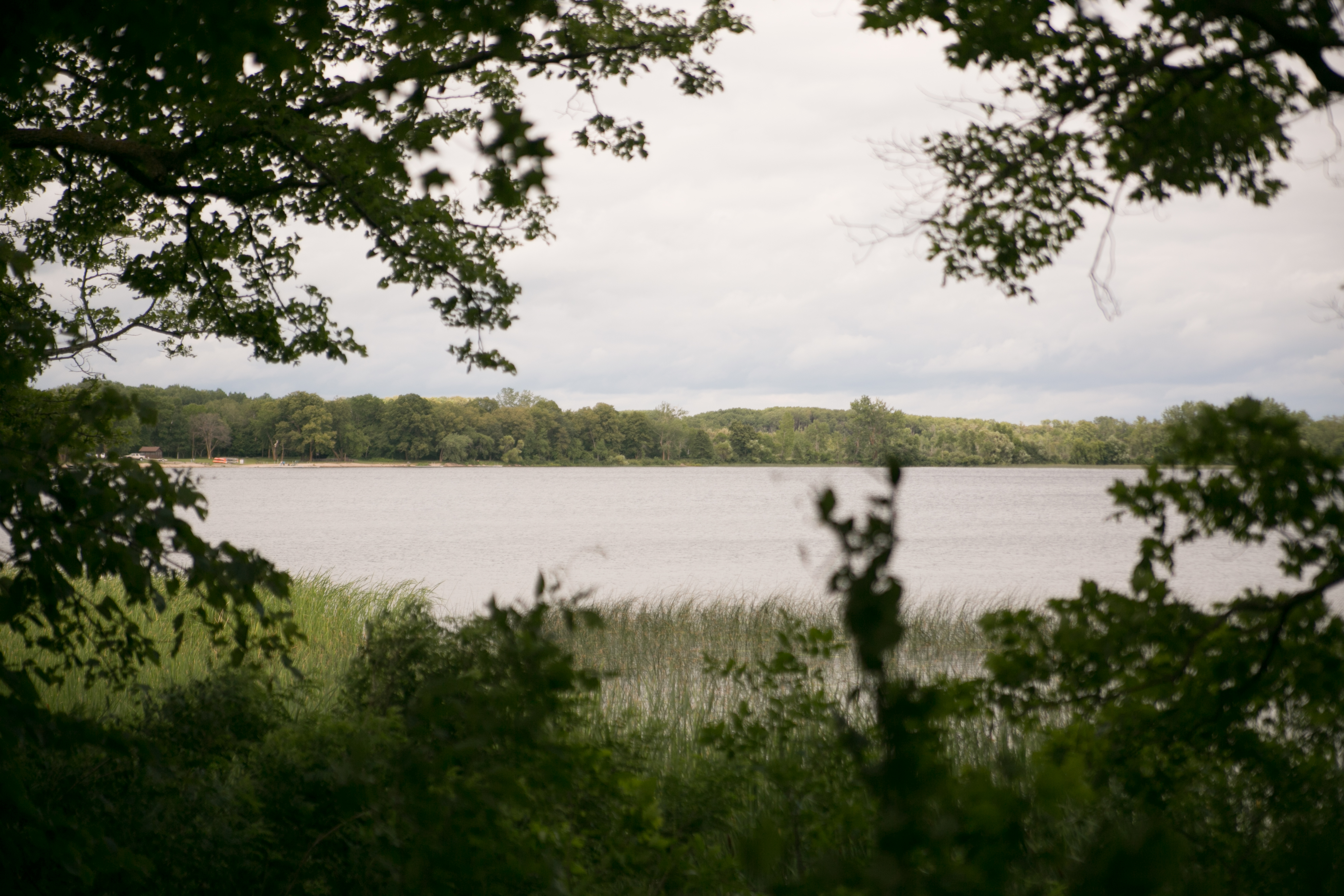
mn state parks: northwest central-ish
the last day of the state park swing, i was supposed to head over to my friend melissa’s place in ND, but she had three funerals in two days, so we need to reschedule a visit. so i needed to make a decision if i wanted to just hit up la salle and itasca and head home or jut over to the southwest and catch four additional parks on the way home.
what do you know; i went for the four.
i broke camp before the drizzle started, which was a plus, and i was on the road before 9 a.m. i drove through bemidji to grab mcdonald’s breakfast (the only thing worth getting at mcdonald’s) and i headed to la salle, which was only 20 miles from bemidji. it’s a sad day when 20 miles to a park is a really short distance!
la salle
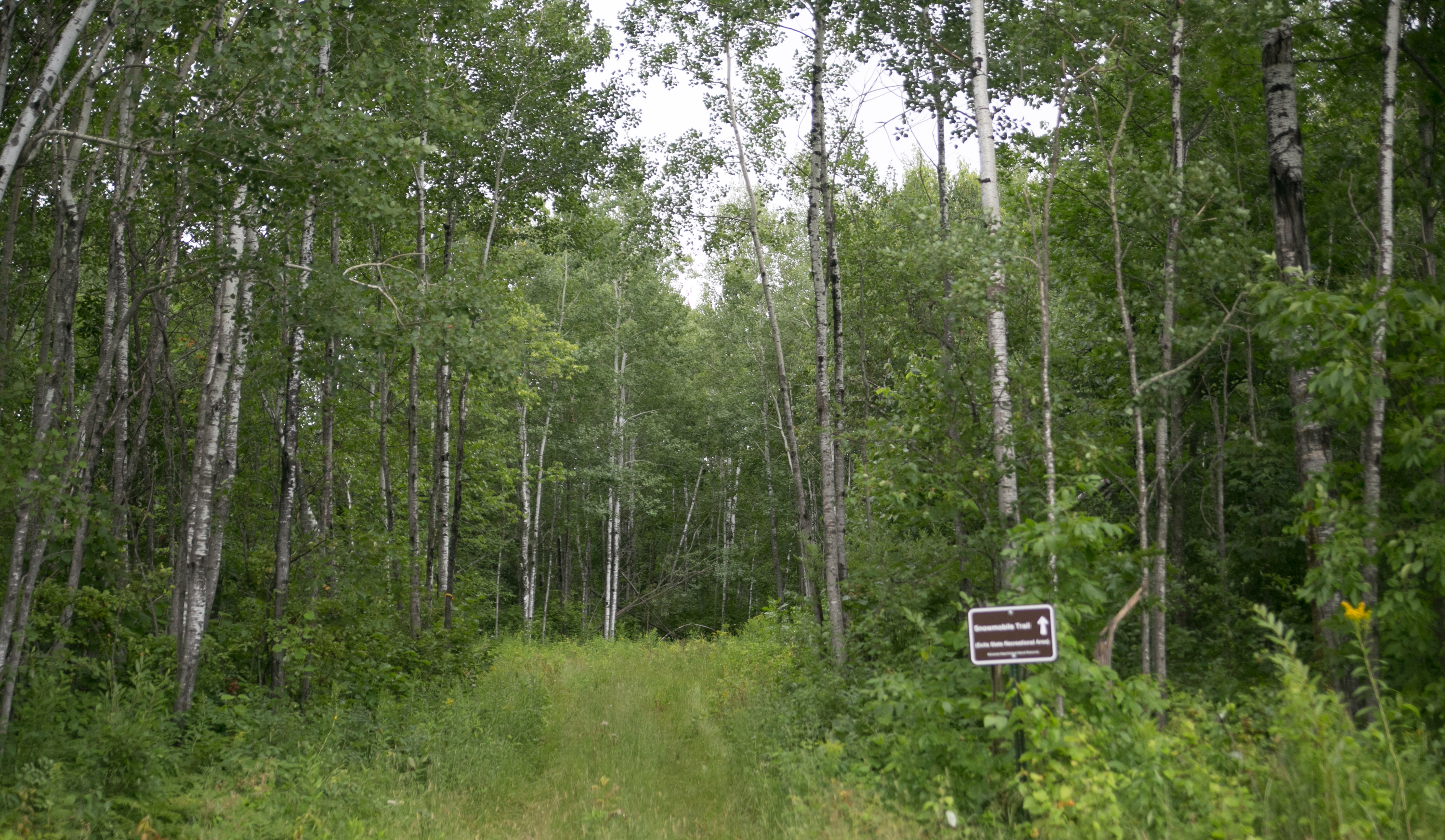
la salle was mostly an overflow camping for itasca visitors, i realized. the campground was the most interesting park of the recreation area. there were snowmobile trails, which are probably used quite extensively in the wintertime.
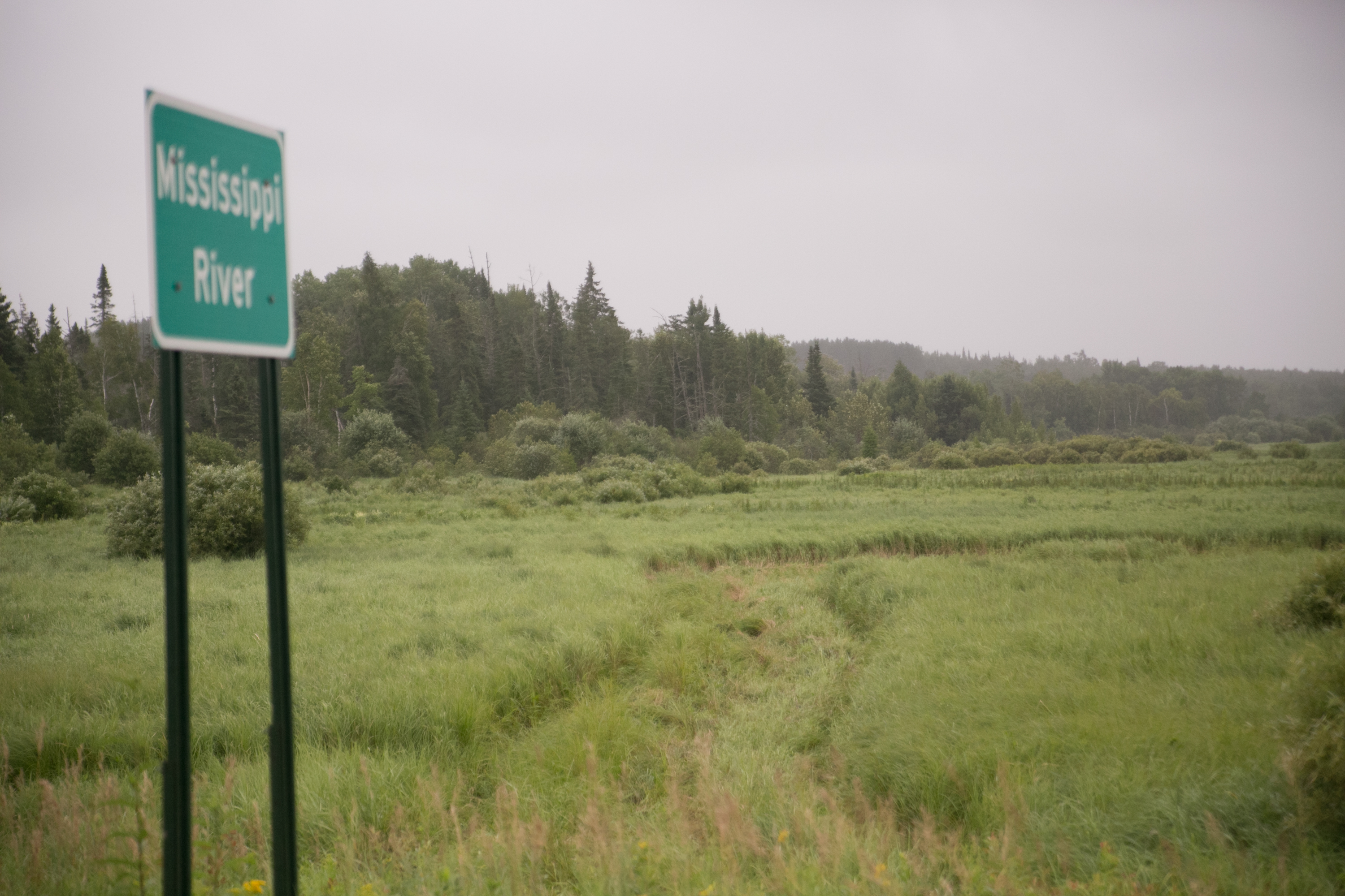
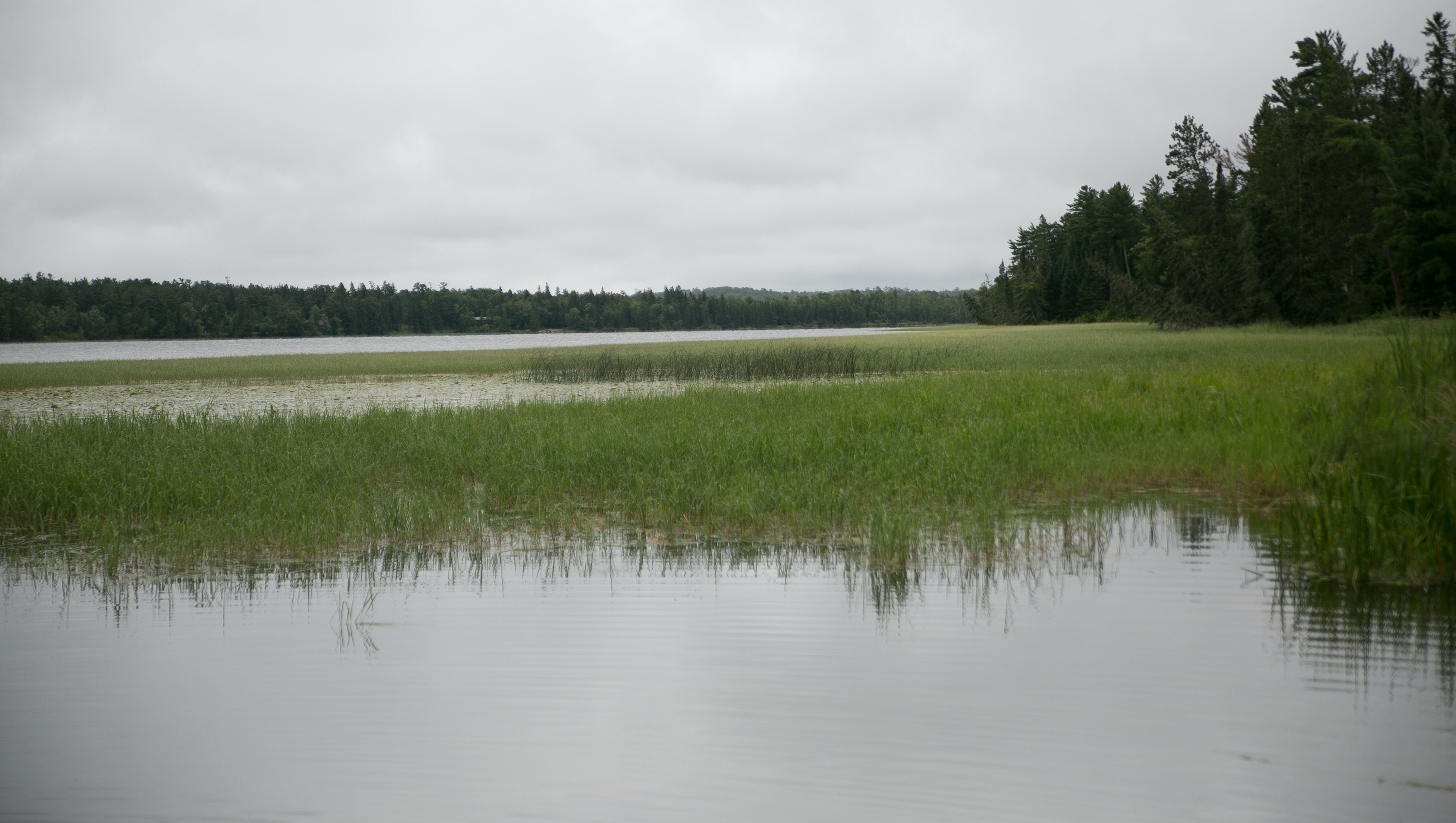
then it was a short drive to itasca. along the way i saw glimpses of the baby mississippi.
so tiny you can’t even see it in the tall grass!
and then. AND THEN.
itasca
so the last time i was at itasca was probably close to 30 years ago. my family was on the way to roseau to visit my grandparents, so it was before 1991. we stopped on the way up and liz fell into the headwaters – i think it was around eastertime, too. so brr.
i don’t remember much about visiting the park – just the headwaters and walking across the rocks.
but let me tell you. itasca is the CROWN JEWEL of the mn parks. the only park that i can imagine will outdo it is gooseberry, and it will have to be top notch to achieve that.
it was close to 9:45 when i rolled into the park, and it was drizzly and a thursday. it was packed. i entered at the north entrance and drove south about 5 miles to the main entrance interpretive center, which is gorgeous. it’s ski chalet like, with information on itasca, the mississippi, state ecology, wildlife, and a ton more. there is a modest gift shop, a fireplace with squishy chairs around it, and a place with area informational brochures. i was impressed already.
i stopped at a couple points of interest on the way to the headwaters, including peace pipe vista and preacher’s grove. several walking/biking paths weaved across the road and into the woods. itasca is also home to several old-growth pines, preserving a few, INCLUDING the state’s largest white pine (more to come later on that).
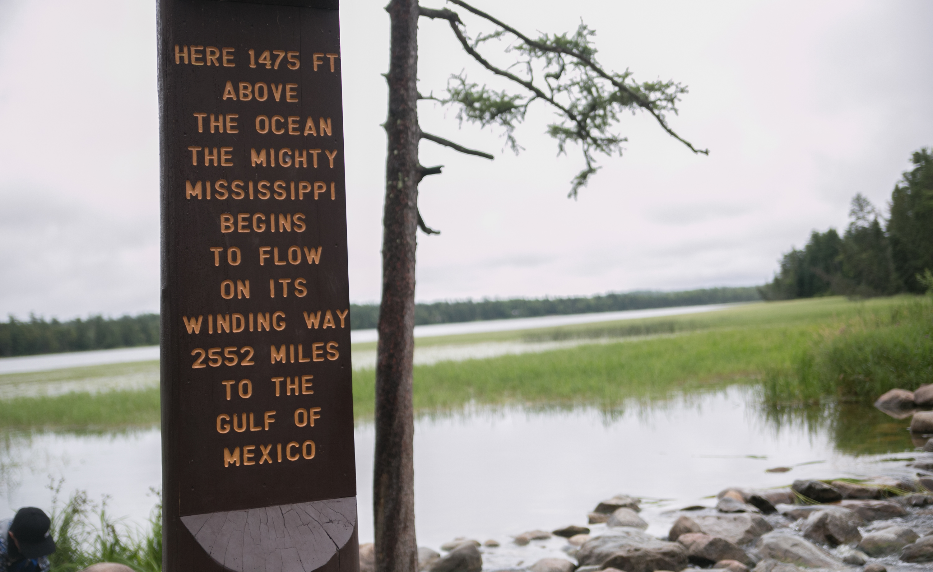
the headwaters was packed, which isn’t surprising. there was a second (outdoor) interpretive center there, which included large relief map of the river’s journey down to the gulf. there was a much larger gift shop and a cafe. after browsing the shop and finding nothing i couldn’t live without, i headed out to see where the river began (so sayeth mr schoolcraft and his much wiser ojibwe guide).
(well, there we go.)
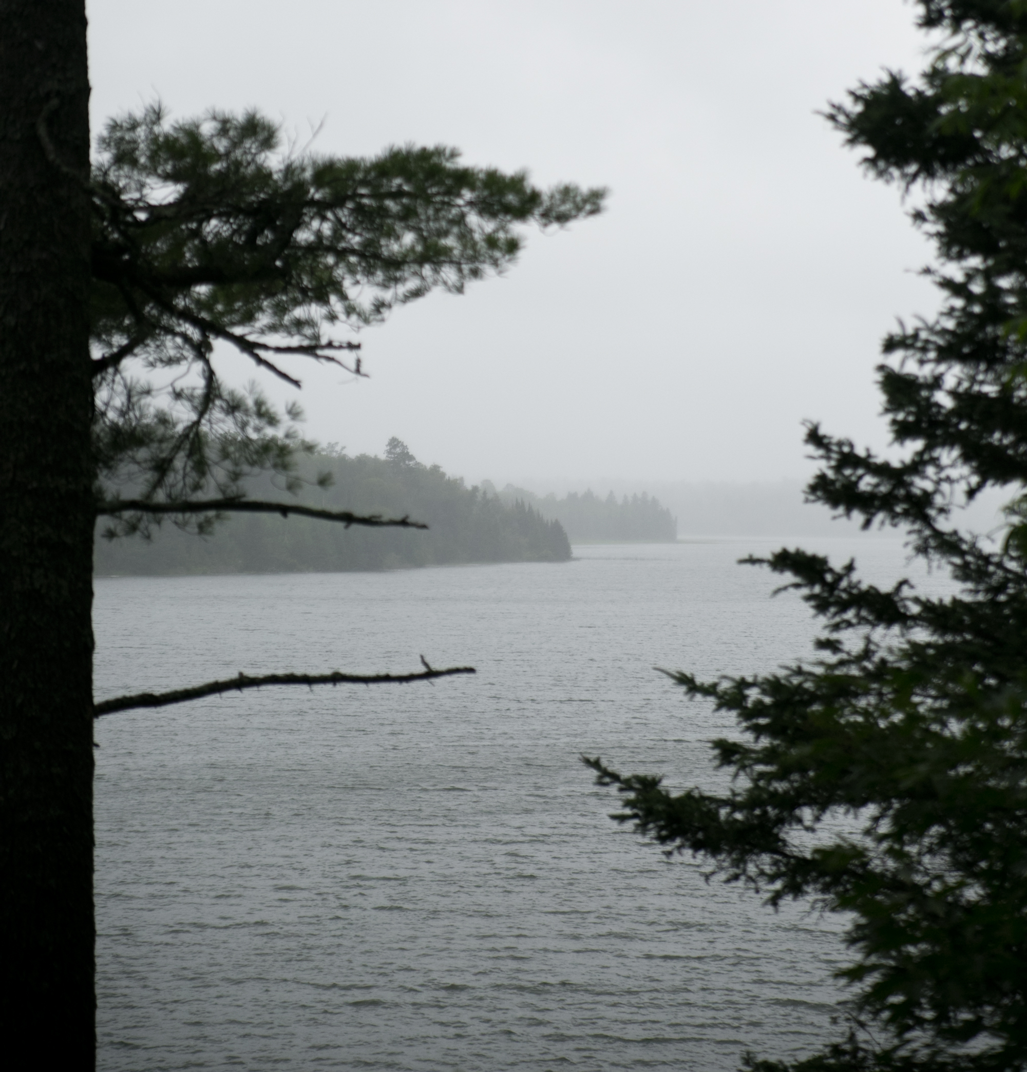
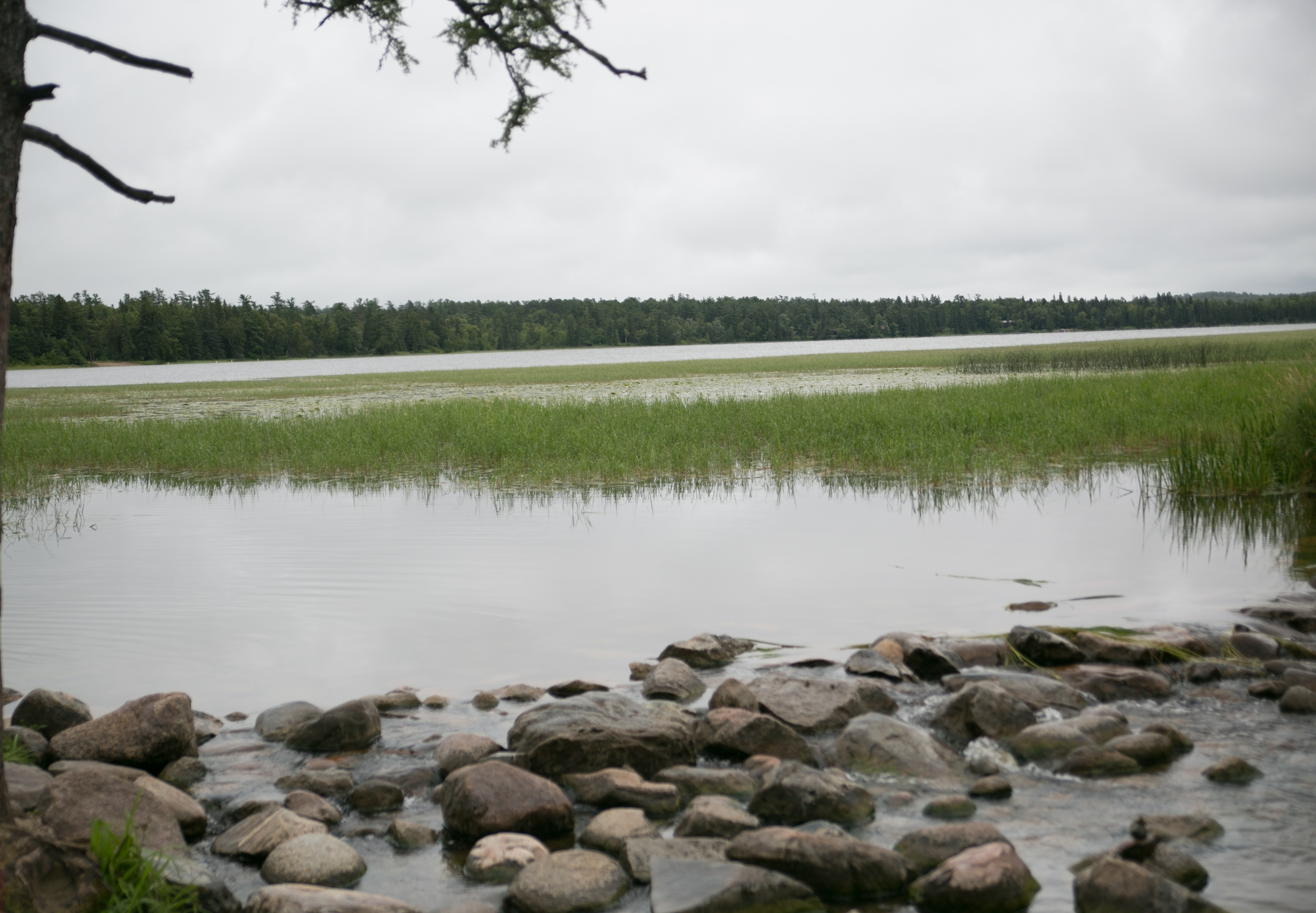
since the park is named after the lake and the river was packed with a bunch of people and their kids that might give me the old side eye with my giant camera, i decided to take a nice pic of the lake instead.
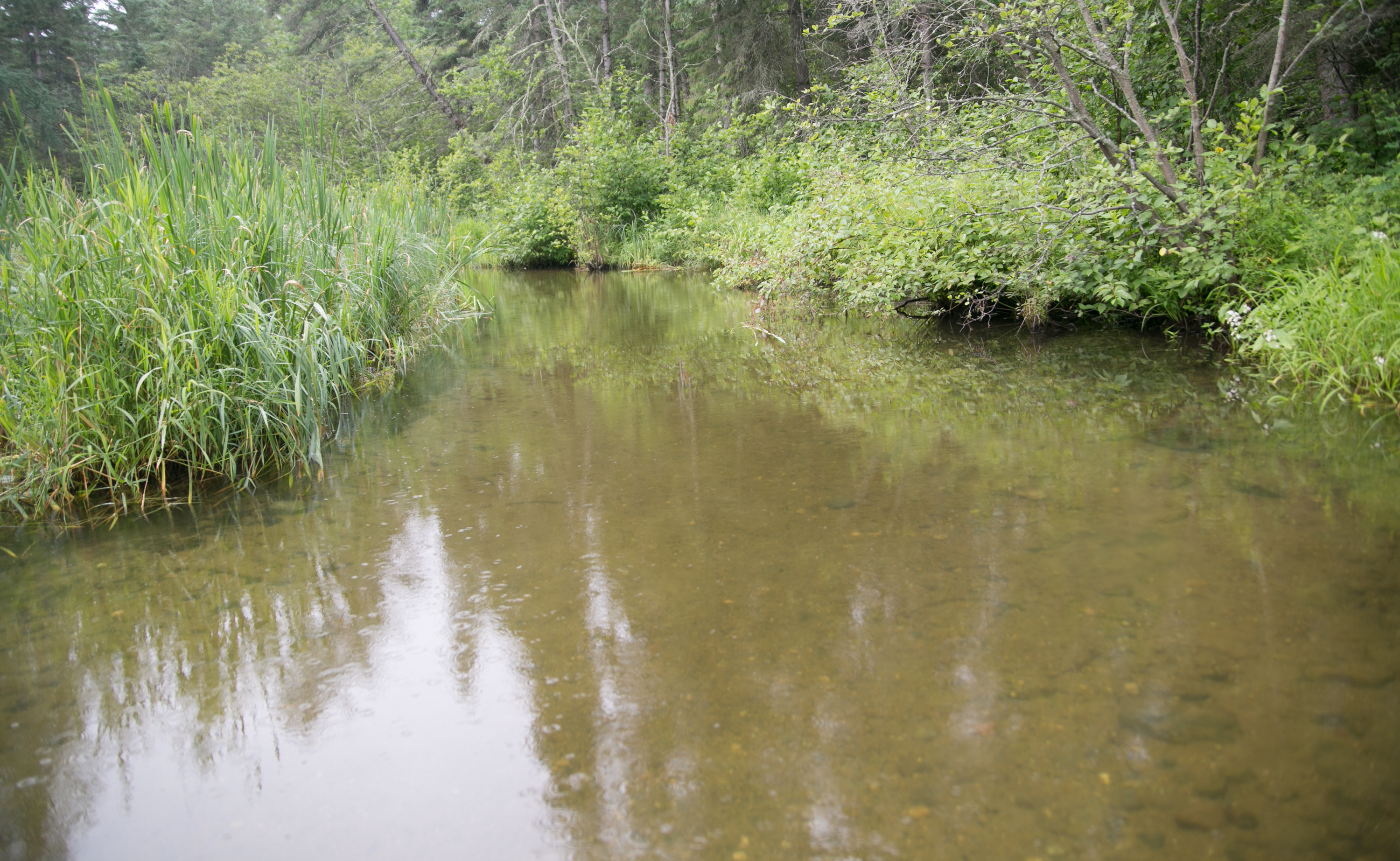
there’s the actual start of the river right there on those rocks. good old mississippi.
since i had four more parks to hit, i almost left the park, but decided at the last minute to take the wilderness drive, which loops 10 miles through the woodsy park. really, i was hoping to see a moose. or a bear. or both. but mostly a moose.
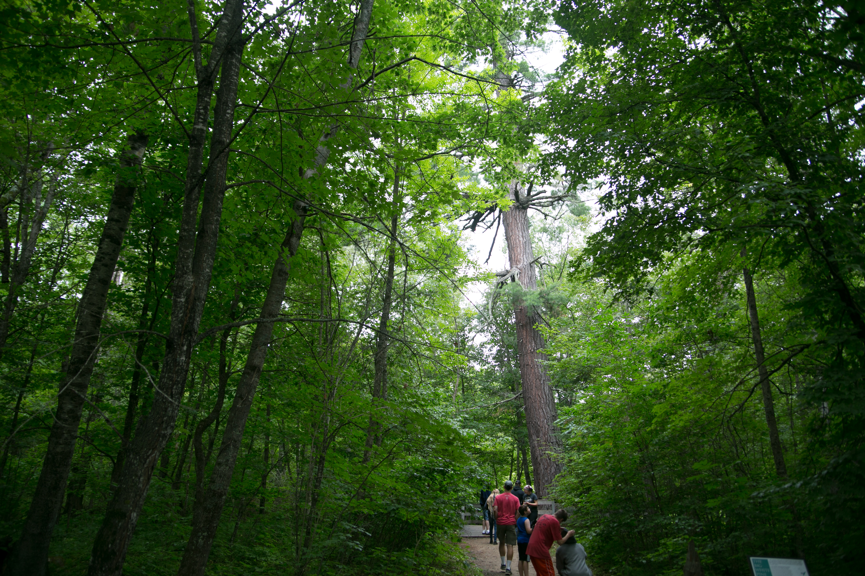
no such luck on the wildlife, but i did get to see the state’s largest white pine!
i seem to have a thing for large trees. i saw the state’s largest cottonwood down by lac qui parle. now the state’s largest white pine. gotta say, it was pretty impressive. not general sherman impressive, but it’s doubtful anything is like those giant sequoias.
i continued on through the park then checked out douglas lodge, which was deemed the best-built log structure by the CCC in the country! and this was another place that was completely impressive. multiple places for lodging, and there were restaurants. there are also several cabins and guesthouses available throughout the park. looking at the website now, i really should have gone into douglas lodge to check it out. it’s reminiscent of what a person would find at custer state park in SD.
i actually called charlie while i was at the first interpretive center and told him to forget whitewater; we needed to camp at itasca. we may be coming back this year yet, though i’m thinking it’s doubtful that we’d find an open weekend to camp.
after my mind being blown by itasca, i had to head out. i’d spent two hours at the park and i had a lot more to do that day.
buffalo river
as i drove away from itasca, i experienced the oddest thing. the day before i had experienced driving through the different biomes, but they were a little bit gradual. this day it was abrupt. i drove through these pine forests, winding along county road 37. then i was suddenly out of the woods and for about 2-3 miles, it was corn and bean fields. then i entered a hardwood forest. just like that – boom. i had hit the edge of one biome and entered the other completely in less than 5 minutes. it was bizarre.
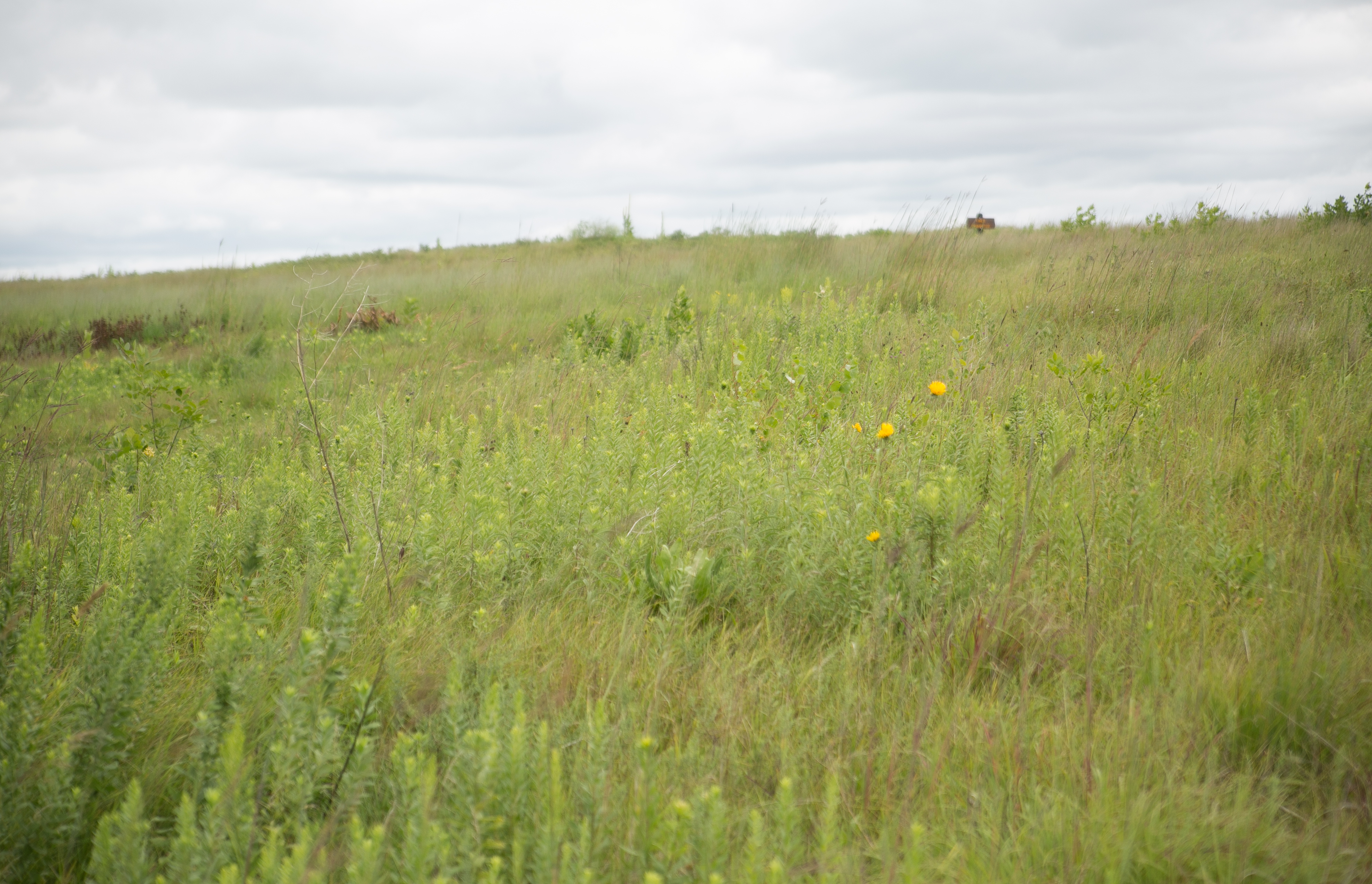
i was able to hop on another four-lane, driving through detroit lakes and hooking up to hwy 10 to get to buffalo river near moorhead. this was another park dedicated to restoring some prairie, and also maintaining a CCC construction.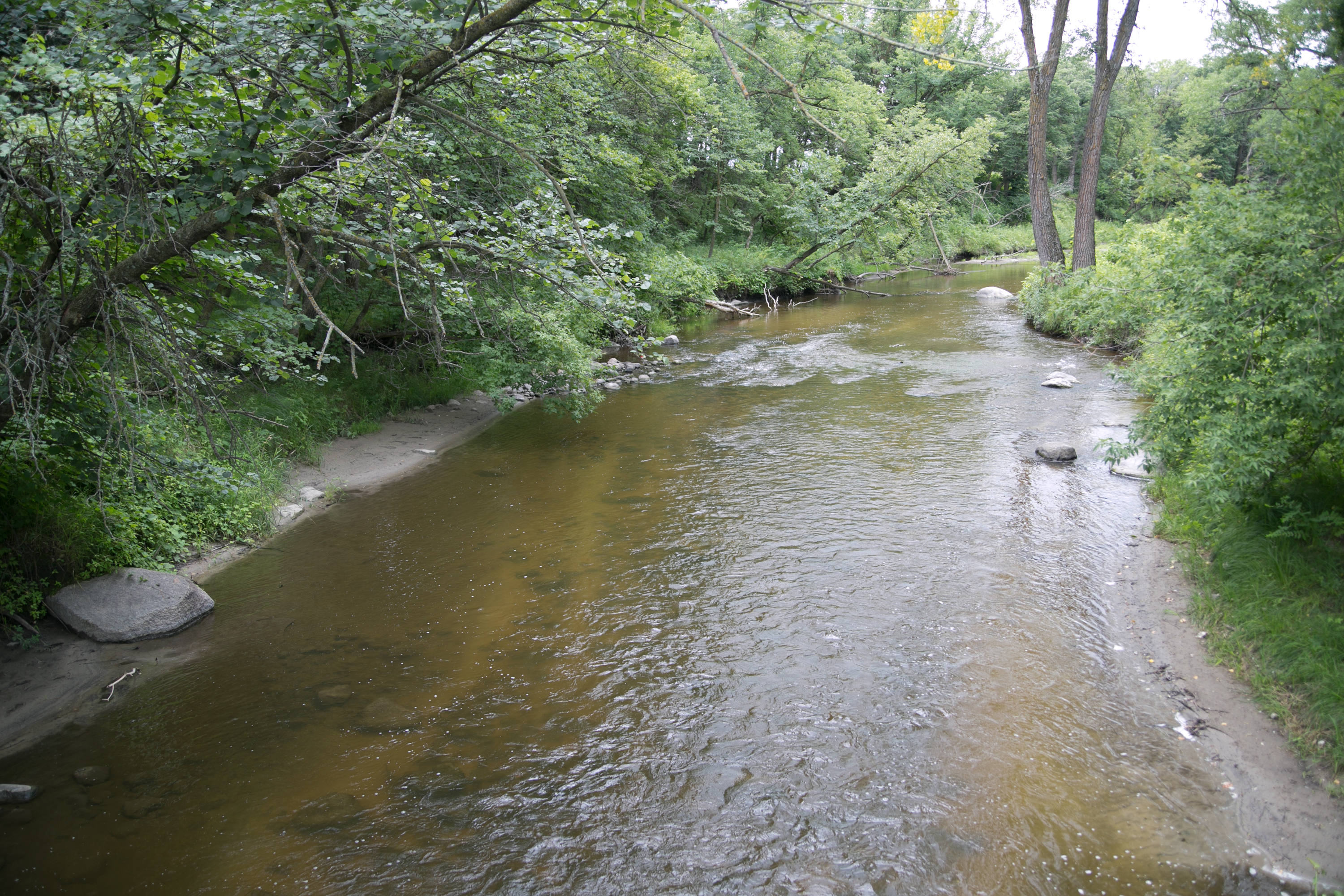
(and of course, the river.)
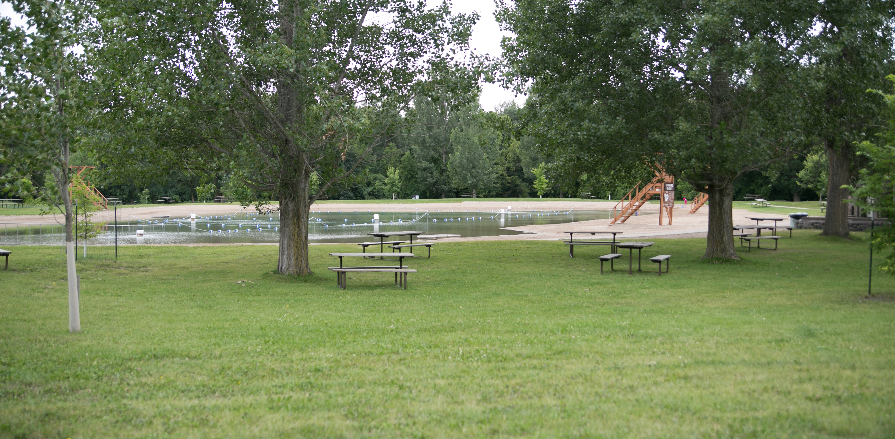
the CCC built a natural pool in the park. it was kind of odd, but it made sense when it was constructed. recently it was renovated to make it a little more sanitary, but it still pumps water from the river.
the day was chilly when i got there, but there were still a few people swimming.
(definitely no moose here.)
maplewood
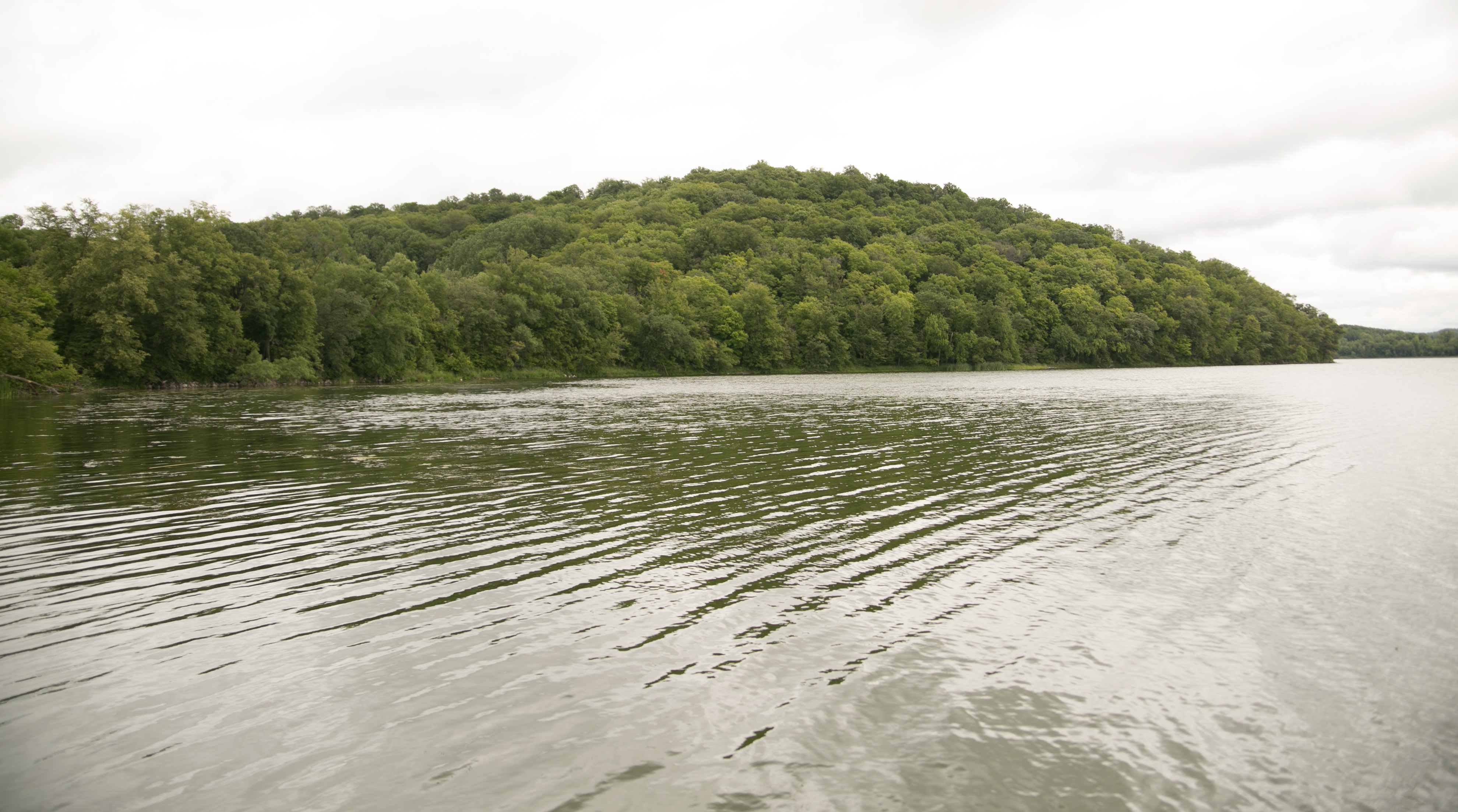
i headed back the way i came on hwy 10 and then headed south to check out maplewood, which is just east of pelican rapids. maplewood is a nice park! there’s a lake and lots of gentle hills.
considering we were in the middle of the glacial lakes area, this was a pretty common sight.
glendalough
glendalough was not that much farther from maplewood, but because there were so many little lakes that the roads wound around, it took longer than i anticipated. my first impression of glendalough was that it seemed like a place that people from the metro would go for a summer weekend out. considering we were close to detroit lakes, i didn’t think i was so far off. there was a relatively nice self-serve outdoor interpretive center. many people were out on the hiking and bike paths, and there was a small building where people could rent bikes and canoes, paddleboards, and kayaks. i got to the “trail lodge” (a large building with restrooms and a large room where you can sit) and i read the history of the buildings.
turns out i was RIGHT. the land and buildings were owned by the owner of the startribune, and in the early 90s the family donated the land and buildings to the park system.
(there was a loon out on the lake, but he was too far away to get a pic.)
lake carlos
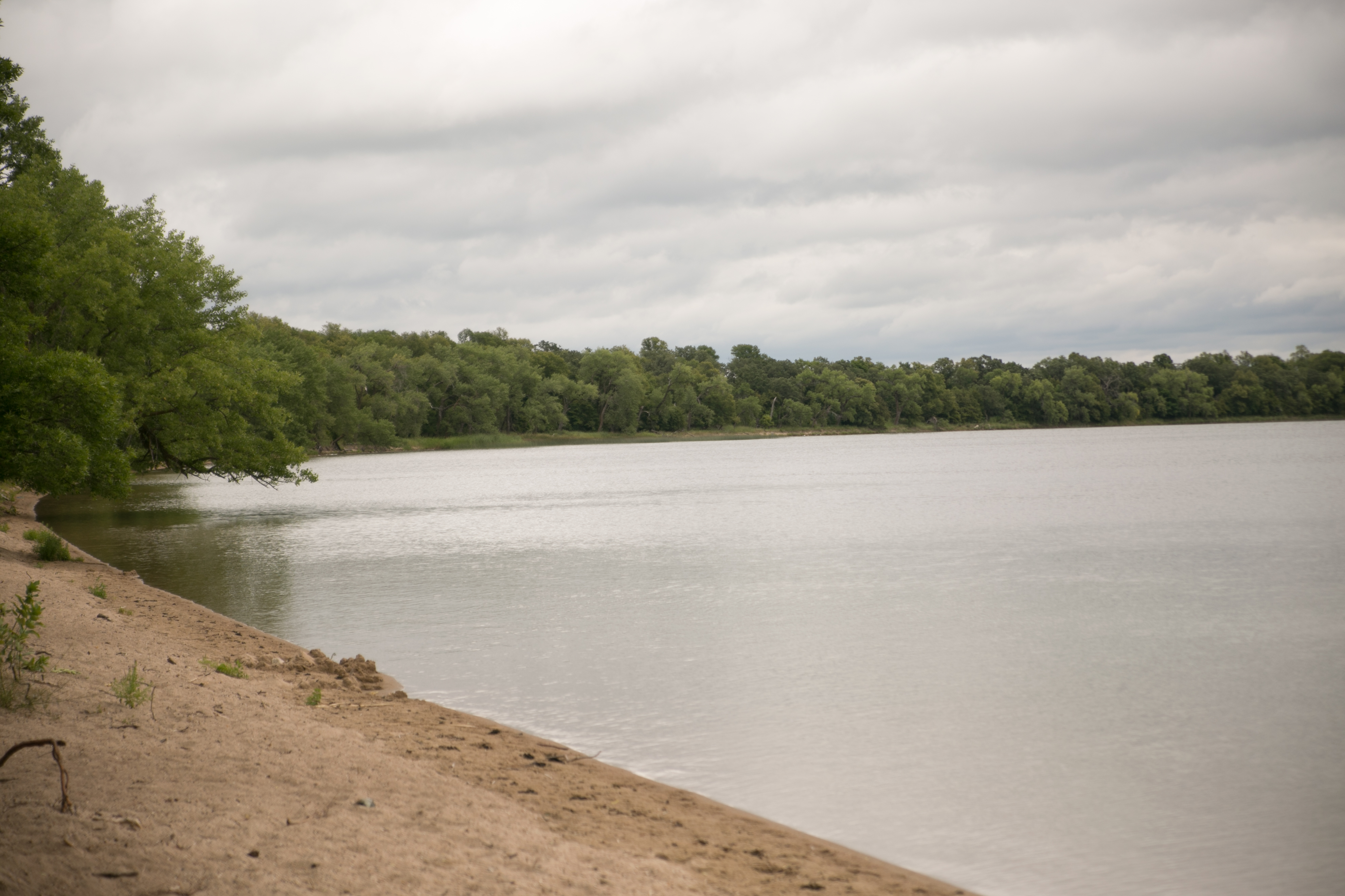
lake carlos was my last stop of the day, close to alexandria. the lake is a fishing lake and there are several trails and camping.
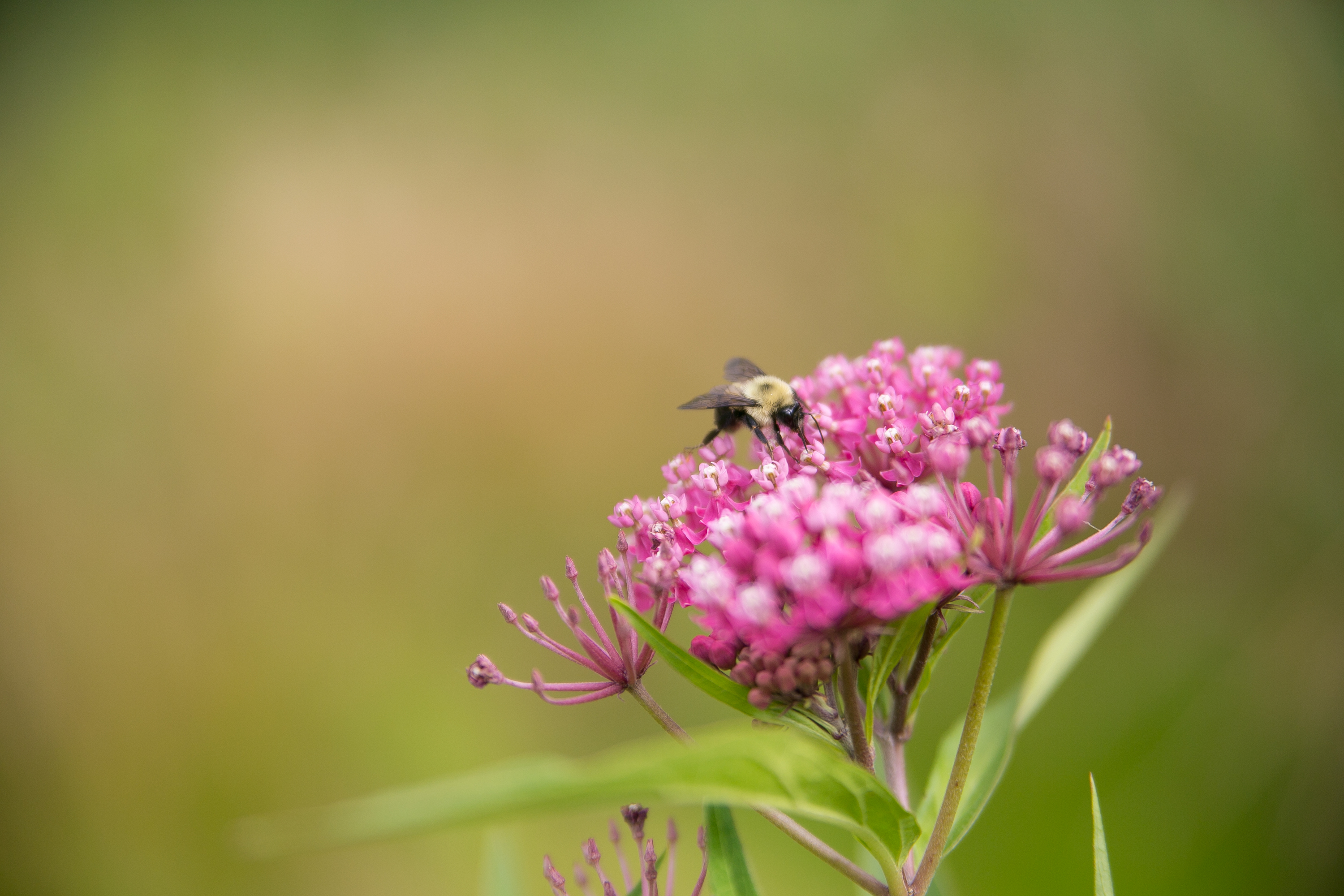
i took a short hike and stumbled onto a group camp and so turned around and focused on some wildflowers, where i ran into a bumblebee.
so ended my park visits for the day. i got lost trying to find alexandria, and once i did, i forgot how stinking long that town is and almost thought i had to turn around to find the interstate. but it appeared, along with a culver’s where i got supper before jumping on I-94 for home. this was the first interstate i’d been on the entire trip.
for one brief moment i thought i was going the wrong way on the interstate and i almost had a mild attack before see the EAST on a sign. whew.
then i entered good ol’ central MN, and there’s no place like home.
*****
what was really interesting about this loop of parks was the different topography and ecology in the state. i was pretty knee-deep in all the MN biomes, seeing the changes that happened between – some gradual, some abrupt. it was also a lot of miles this time around, probably the most of all the other loops i will make. google maps tells me my loop was 1,010 miles. that’s a lot of time in the car, but it’s also a lot of the state i saw. some people barely leave their county*, and others think the best thing on earth is to have a passport to leave their state**. there’s so much to see in this state alone. if i can cross three biomes in a half an hour, learn about the history of the state, and find a place where the trees whisper at night and it’s so quiet i can hear waves crashing on a lakeshore a half mile away, all in this arbitrarily bordered state i call home? i’d say that a lot of minnesotans have a lot to explore.
*yes, there are farmers in southeastern MN who have never ventured more than 40 miles from home. ever.
**those people tend to also think that the only parks worth going to are on the north shore. get out! expand your state knowledge!
