mn state parks: west central loop!
i had a COMPANION on today’s state park visit. nate has three days off and agreed to come with me on my west central park loop. yay!
we headed out around 10:30 and hopped on 94 to head up to glacial lakes park, which is at the more northern end of the glacial ridge. this is a ridge running in west central mn where the glaciers left a crapton of deposits and therefore lakes.
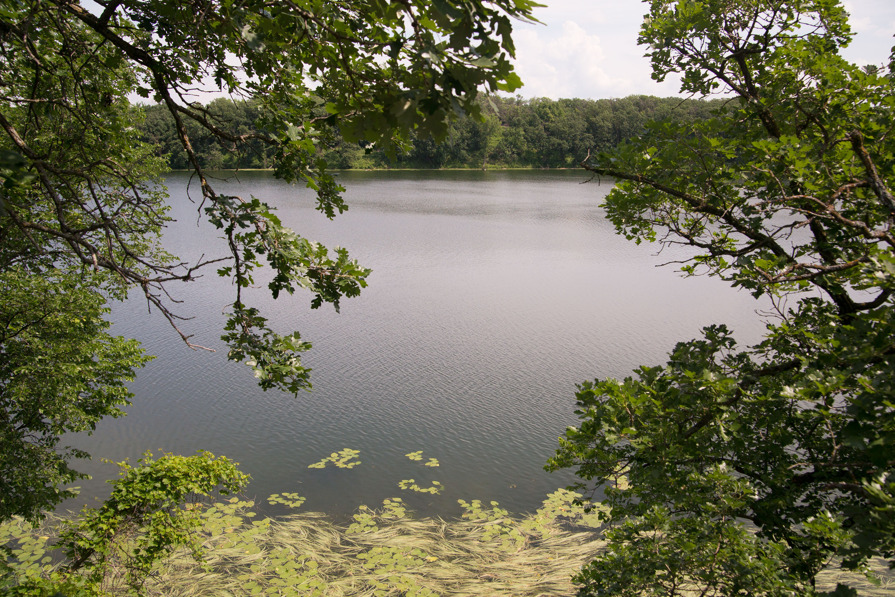
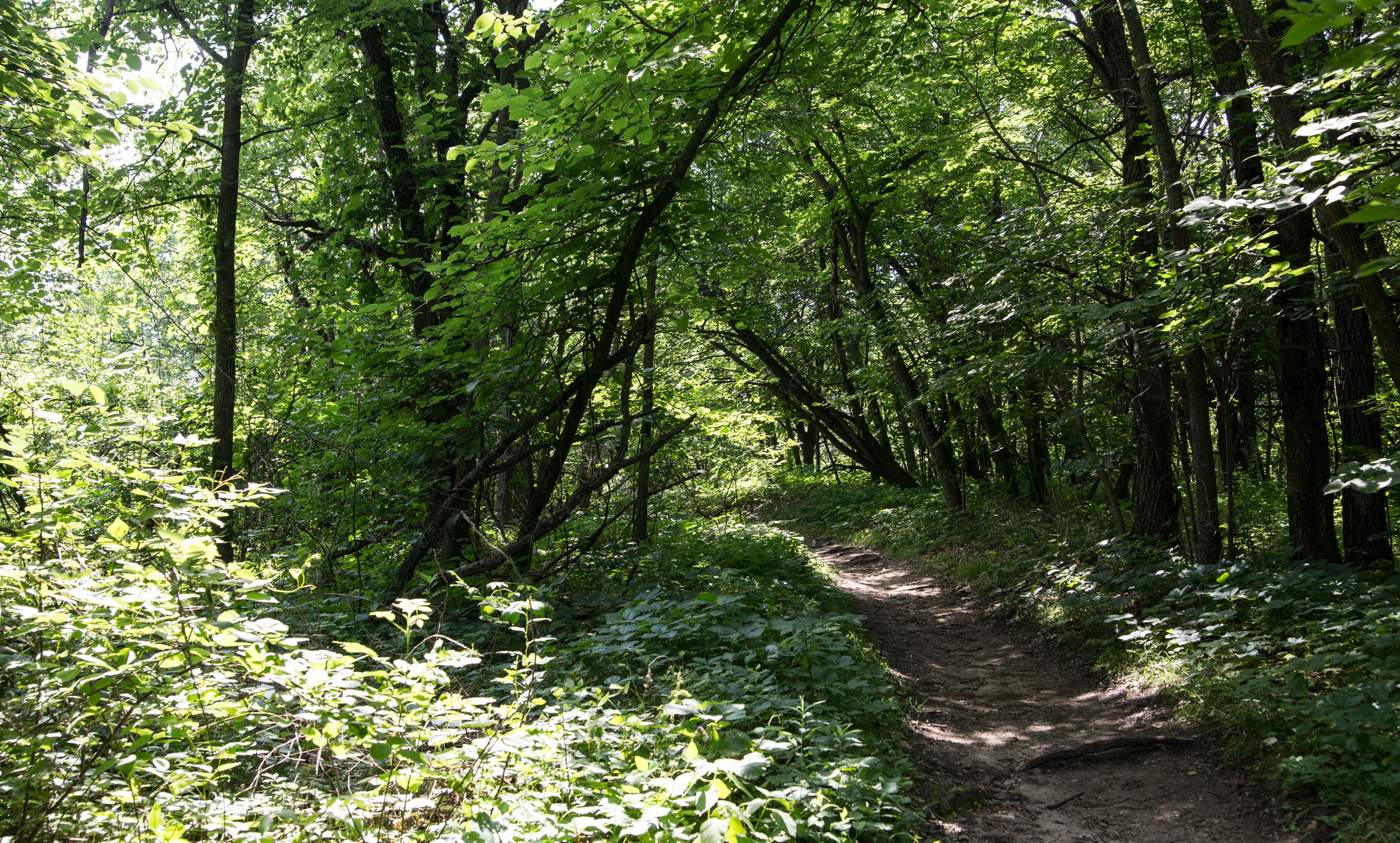
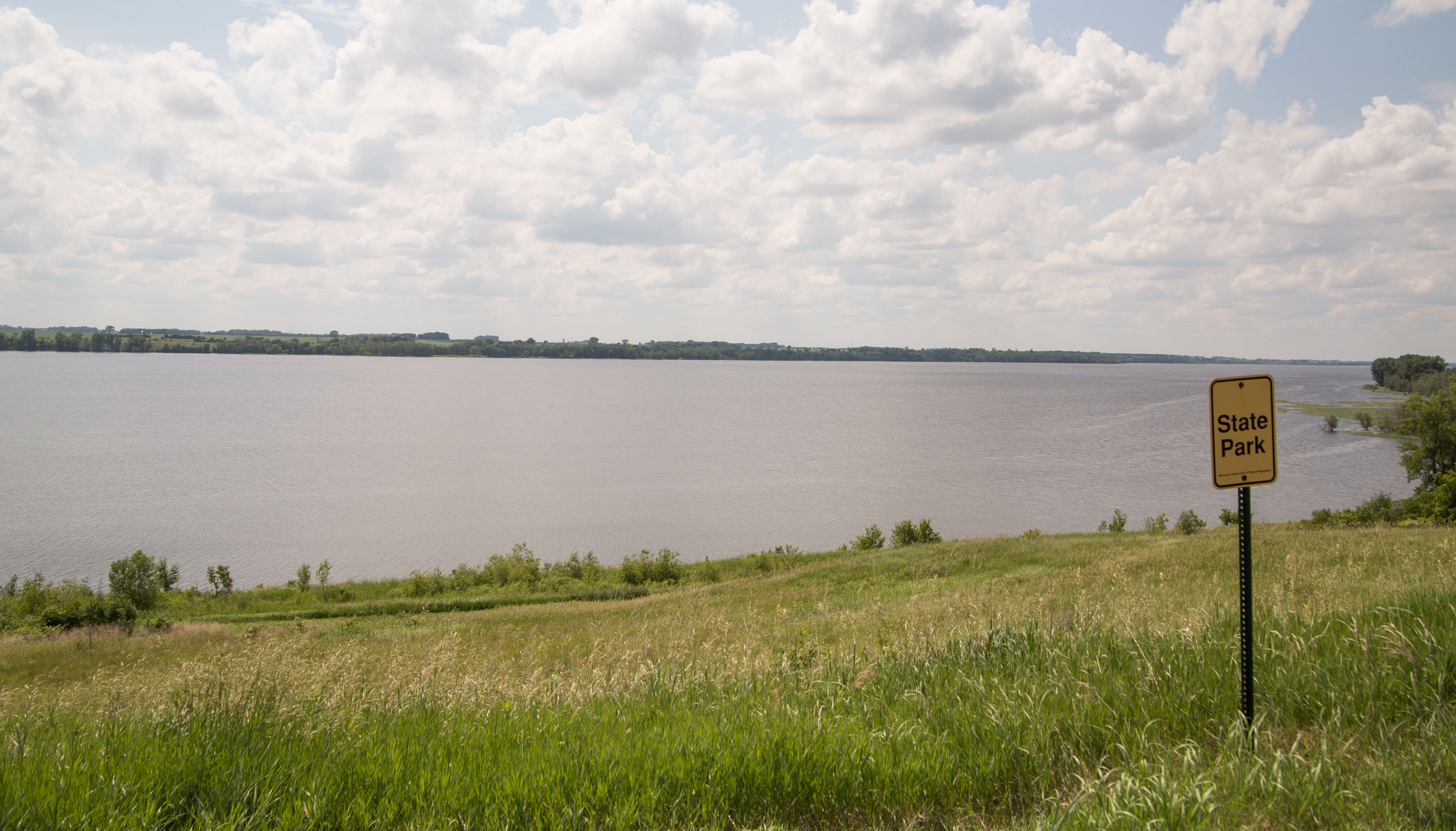
glacial lakes is a nice park! it’s near starbuck, which is near glenwood. there’s a giant lake nearby as well as a couple smaller lakes in the park. we didn’t spend a lot of time in the park, but we did check out a scenic overlook into the lake and then i took a (very)short hike into the woods.
then it was a long haul to the very western edge of the state to big stone lake state park, which is right on the SD/MN border just below the little bumpout in the state.
i was a little excited for this visit because i can check off another county that i’ve visited. now i only have two counties left in MN before i can say i’ve visited them all.
before visiting the park, nate and i drove into ortonville to find something to eat. we ended up going to this dive bar and not surprisingly had one of the best meals i’ve had in a while. gotta love small-town bars!
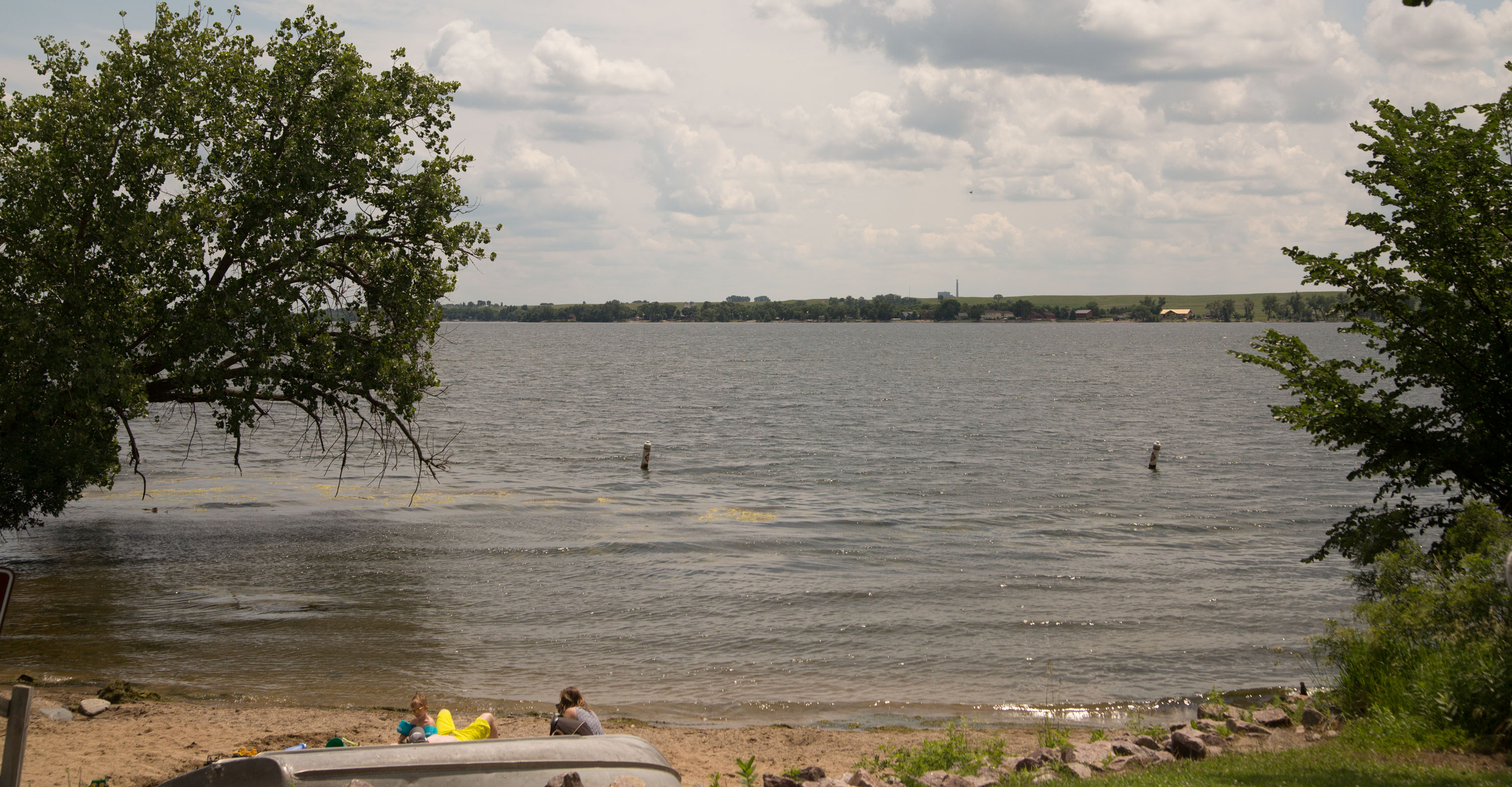
big stone lake is a dammed river that creates a rather large lake on the border, and the state park is just a little piece of land with some campsites, a public water access, and a small swimming beach. the land in that area is interesting: there are stones all over, so you can’t farm the land, but it’s prairie, so it’s pretty flat and uninteresting. there are a lot of cattle grazing, and scrubby trees trying to make it on the edge of the prairie.
then another long haul to lac qui parle state park , another wide place in a river.
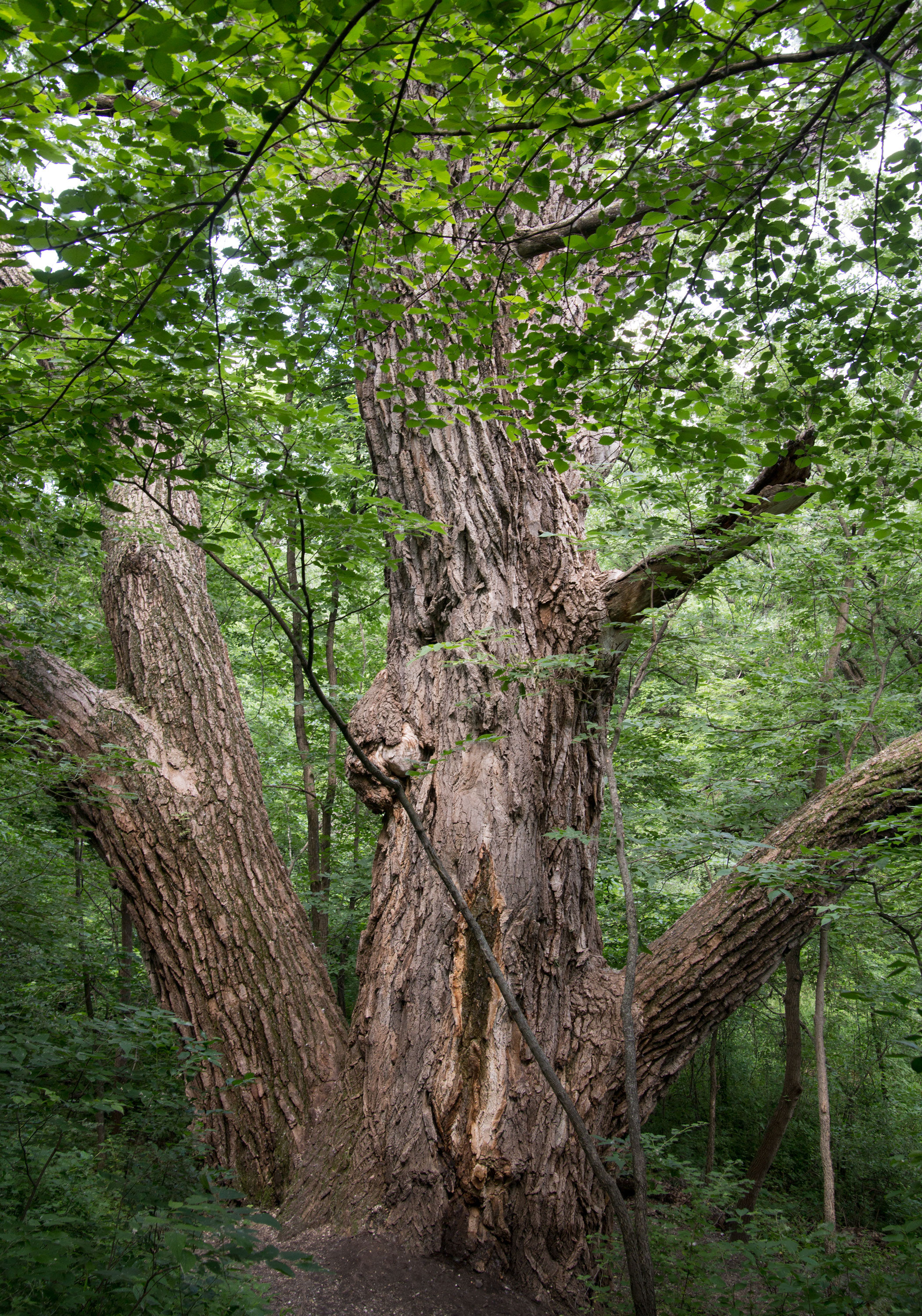
and this is where i got the find of the day! the largest cottonwood in the state is in this state park! it’s got a 394″ circumference at 4′ (!) and is 106′ tall! i wish i could find out if they have an estimate on how old it is. i had visions of walking to general sherman when i rounded the bend to see the tree!
by this time nate was maxed out. sure, google maps said the loop would take 5.5 hrs, but this didn’t count time in the parks or eating lunch. so it was close to 3:30 at this point. we hightailed it across the prairie. the nice thing about the wide open spaces is there are very few cops and the speed limit is 60mph.
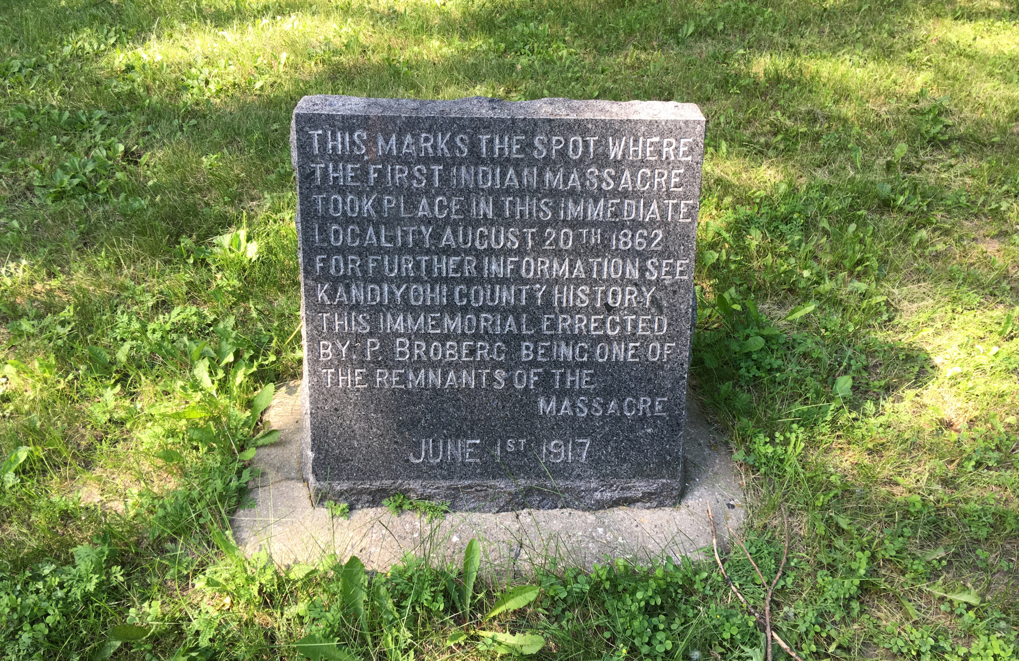
the second to last stop was monson lake, which was another public access and a few campsites, as well as the still-depressing reminder about the sioux uprising.
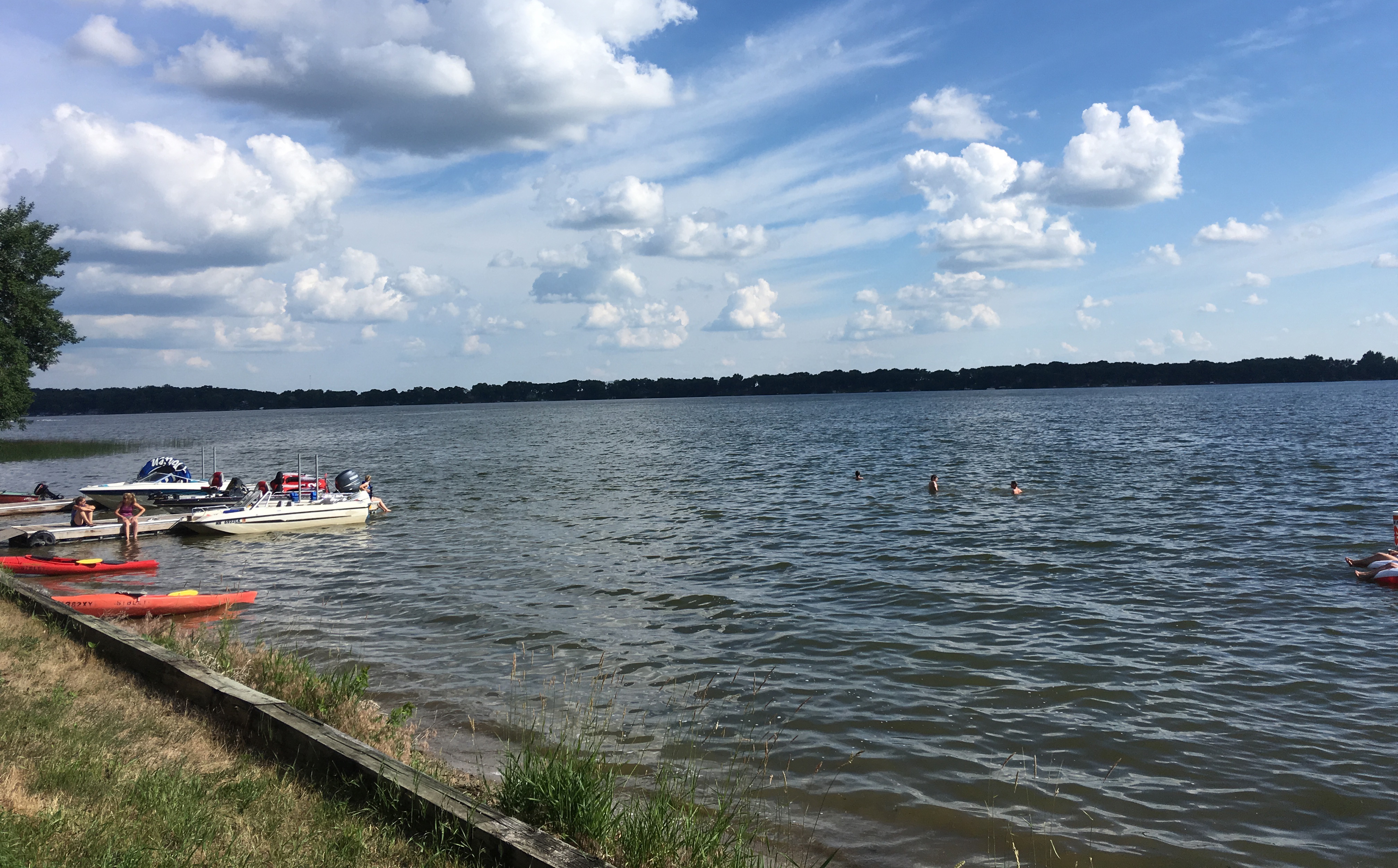
the final stop on the look was sibley state park! this is certainly a familiar park; i think i spent every day the summer of 1998 on the lake andrew beach, frying to a crisp. i stopped in the park office, which i don’t think i’ve ever been in, and then took in the familiar lake parking lot. since nate was about ready to hitchhike back home, i didn’t spend much time reminiscing, took a pic of the lake, and we headed home by way of new london.
we got home close to 6 p.m. the amount of time i’m taking in the parks is making me nervous for my drive home from the north shore. that may end up being a 15 hour day :/