mnstate parks: upper sioux, camden, lake shetek, split rock creek
saturday morning i woke up a little later than normal, rolling over as nate came to bed and wondering if i really had to get up and head out for a day of state parks. i was gone the prior weekend as well. that along with work was almost enough for me to shut my eyes and forget the $26 i spent on a campsite.
then i remembered the reason i made this goal was to get out of my comfort zone of staying at home all the time.
i do love staying at home and putzing around.
so i took off.
not even 5 miles south of avon, the rain started. sigh.
i took a brief interlude into new london where i took a driveby pic of the old wallace homestead and sent it to my peeps. then we all lamented the fact that the new HS auditorium hadn’t been around while we were there. then i tried to turn around and my trip almost got cut short when i nearly got stuck in mud. *eyeroll*
i had planned to stop in willmar to check out the farmers’ market, but it was non-existent. i think it was the rain.
then i buckled down and drove through the pelting rain. visiting state parks in inclement weather isn’t fun.
*****
the first stop was upper sioux agency. if there’s one thing that visiting state parks has taught me so far it’s that american indians have gotten the crap end of the toothbrush (not that i didn’t know that before, but good grief it’s just so overwhelming infuriating and sad to read about it at every stop).
i drove through granite falls to get through the park, taking a meandering river road with wisps of fog rolling along the edges of the trees. then suddenly i dipped up from the valley and onto the rez, alongside the requisite casino. a short way down the road was upper sioux.
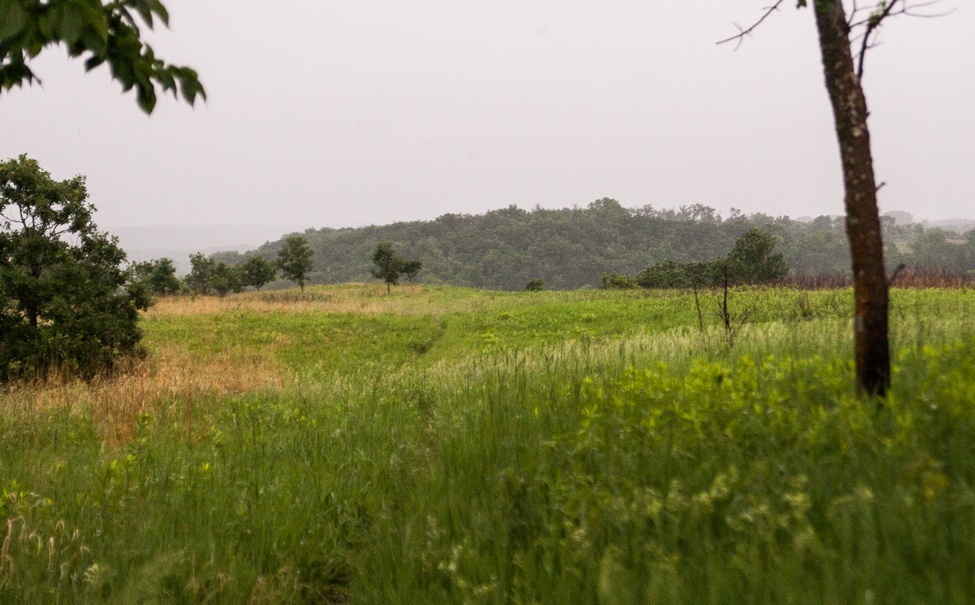
like i said, it was rain city, so i didn’t spend a lot of time here. but there were some information items about the dakota uprising and how this confluence of the yellow medicine and minnesota rivers was originally a native homeland. seems like a lot of these parks preserve confluences that were once sacred to american indians.
*******
i continued southwest to camden state park, which has a spring-fed swimming pond and great fly fishing. i took a break to eat some lunch and took a short hike to the river.
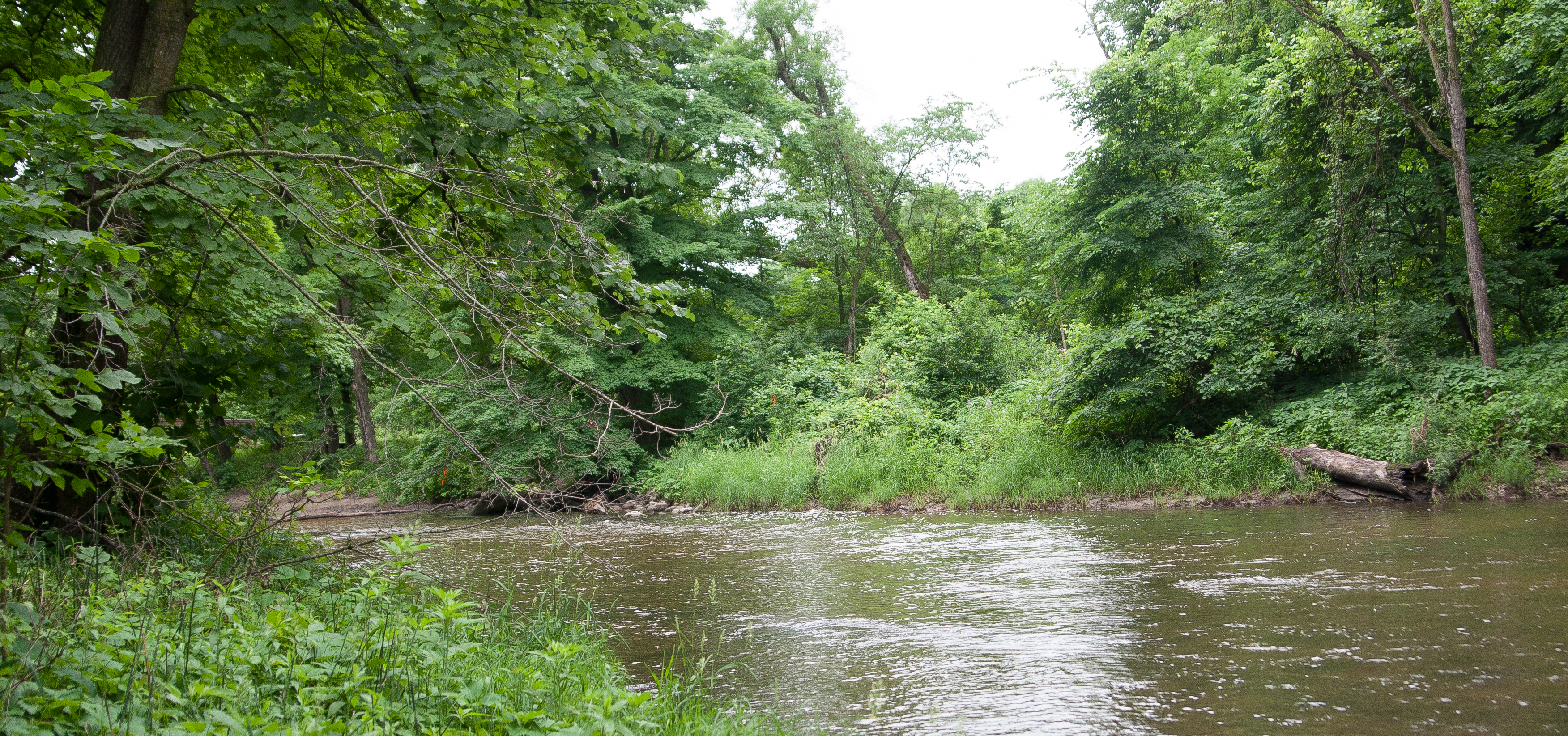
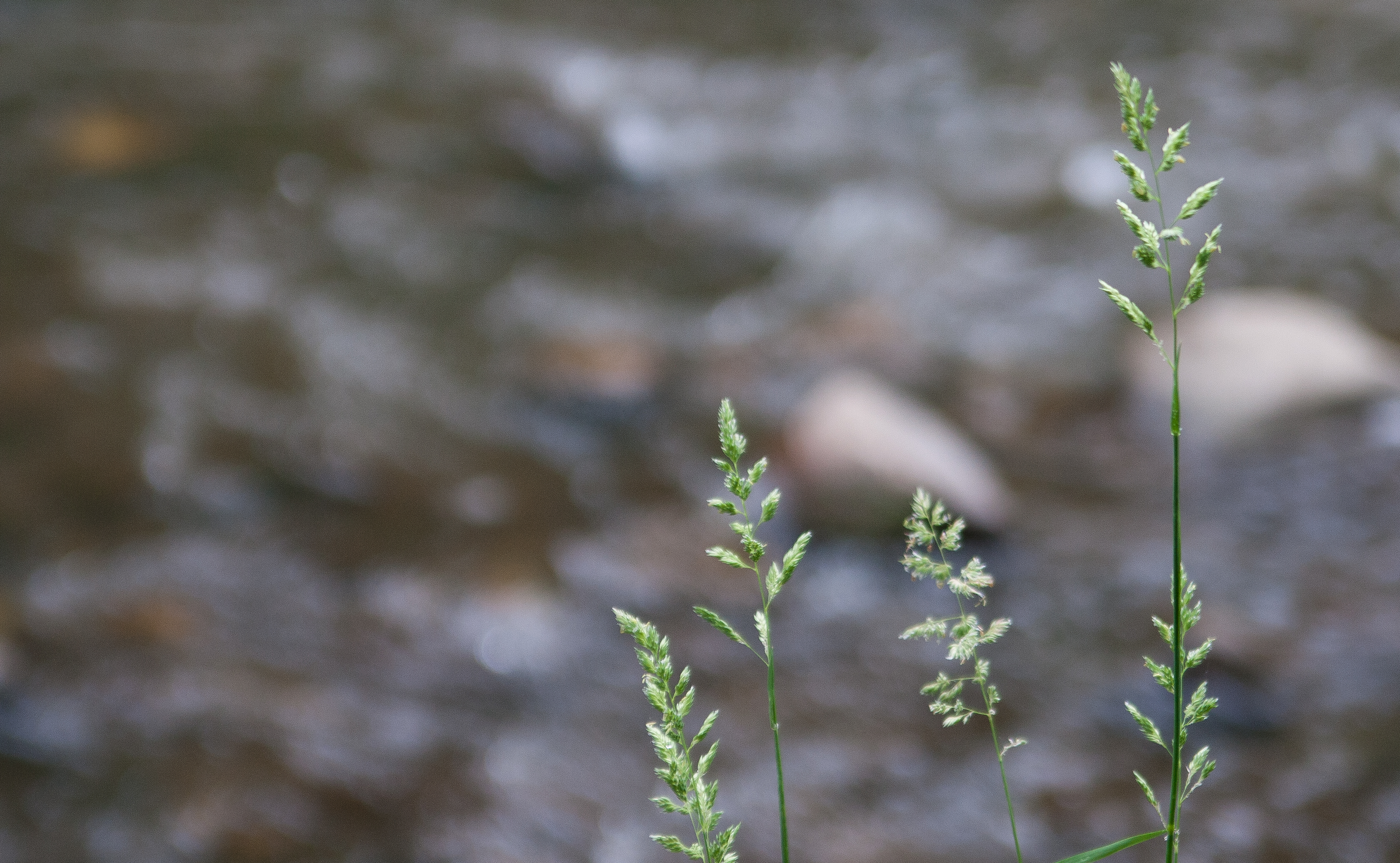
driving along the prairie grass and farmlands that suddenly give way to river valleys where these parks are is kind of disconcerting. all at once you are disoriented, wondering what happened to the wide open skies that are now crowded by trees (i prefer the trees).
******
it becomes pretty apparent pretty quickly that lakes in southwest minnesota are highly regarded. lake shetek seemed like an urbanized park. the lake itself was ringed with homes, the park itself carving out a small section of the shoreline. and it was a busy park. minnesotans really like their lakes, even if they need to drive 20 miles to get to one.
there is an island, loon island, that is connected to the mainland by a causeway built by the WPA.
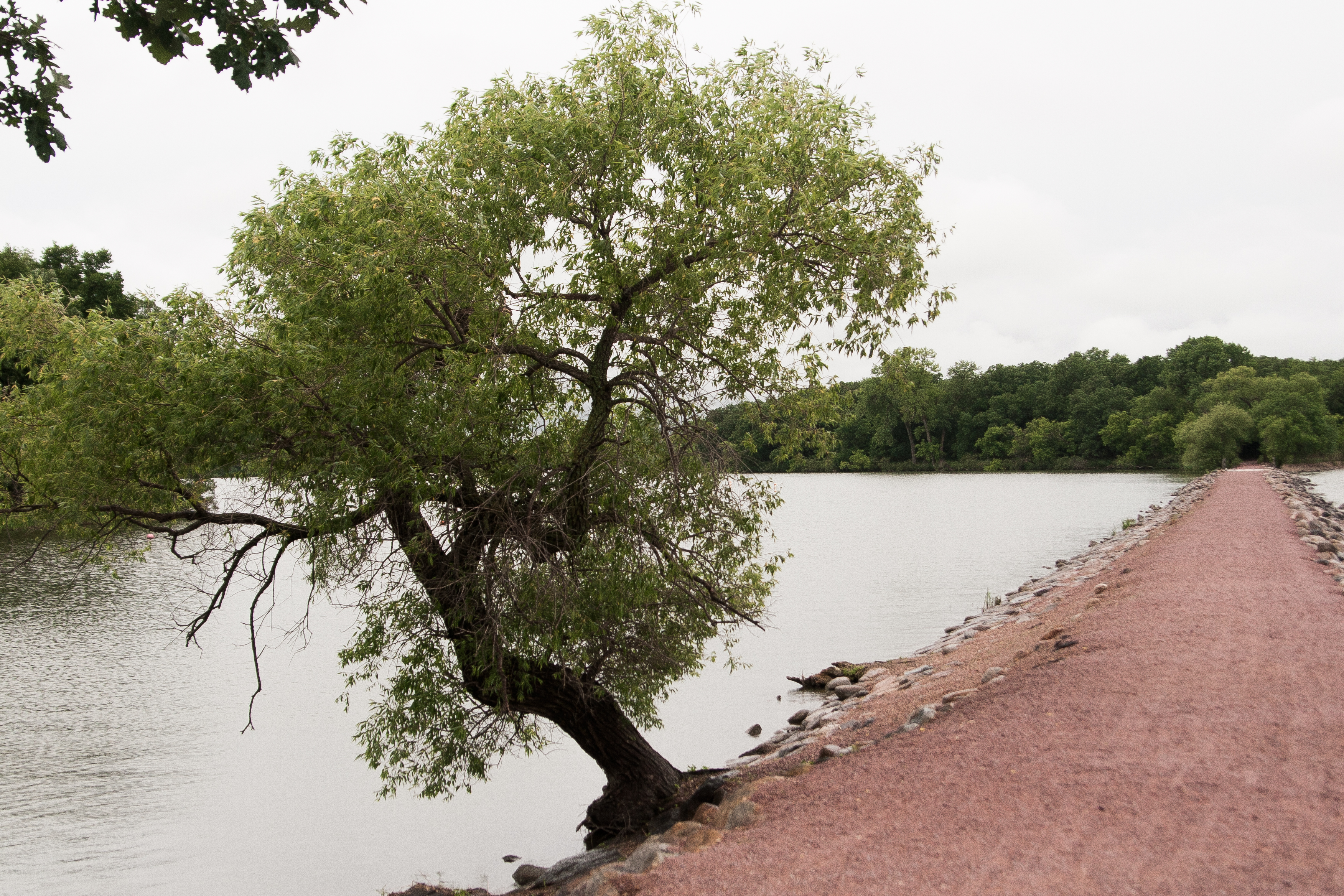
at this point you may be wondering why the island is called loon island, as no self-respecting loon would deem this lake cool enough to nest on. i sure was, as i was walking the odd causeway to the island.
turns out it was a case of misidentification. the island was inhabited by double-crested cormorants, which i guess sort of look like loons. they, too, dive. so why didn’t they rename the island? well, the cormorants are gone now too. in the early 1910s, residents thought the birds were depleting the fish population, so there was a cormorant hunt. and it was so successful that the birds have never returned.
*huffs* *shakes head*
humanity is proving itself more and more stupid.
*******
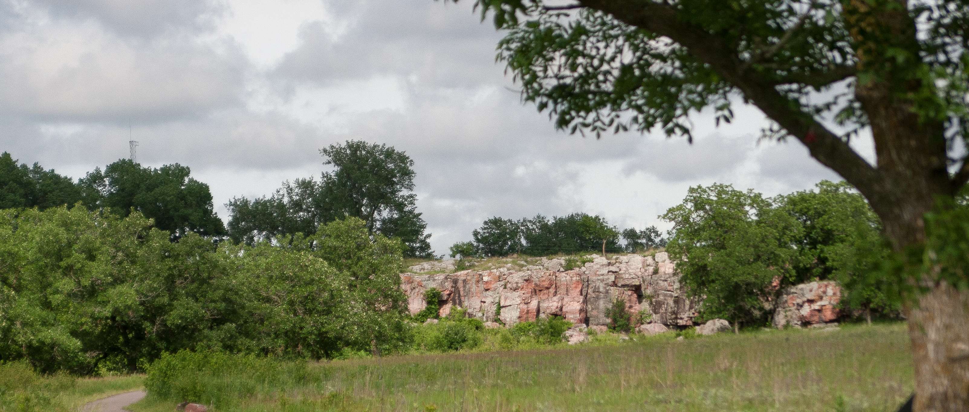
now for something different! i stopped at a NATIONAL MONUMENT. yes, i checked out pipestone.
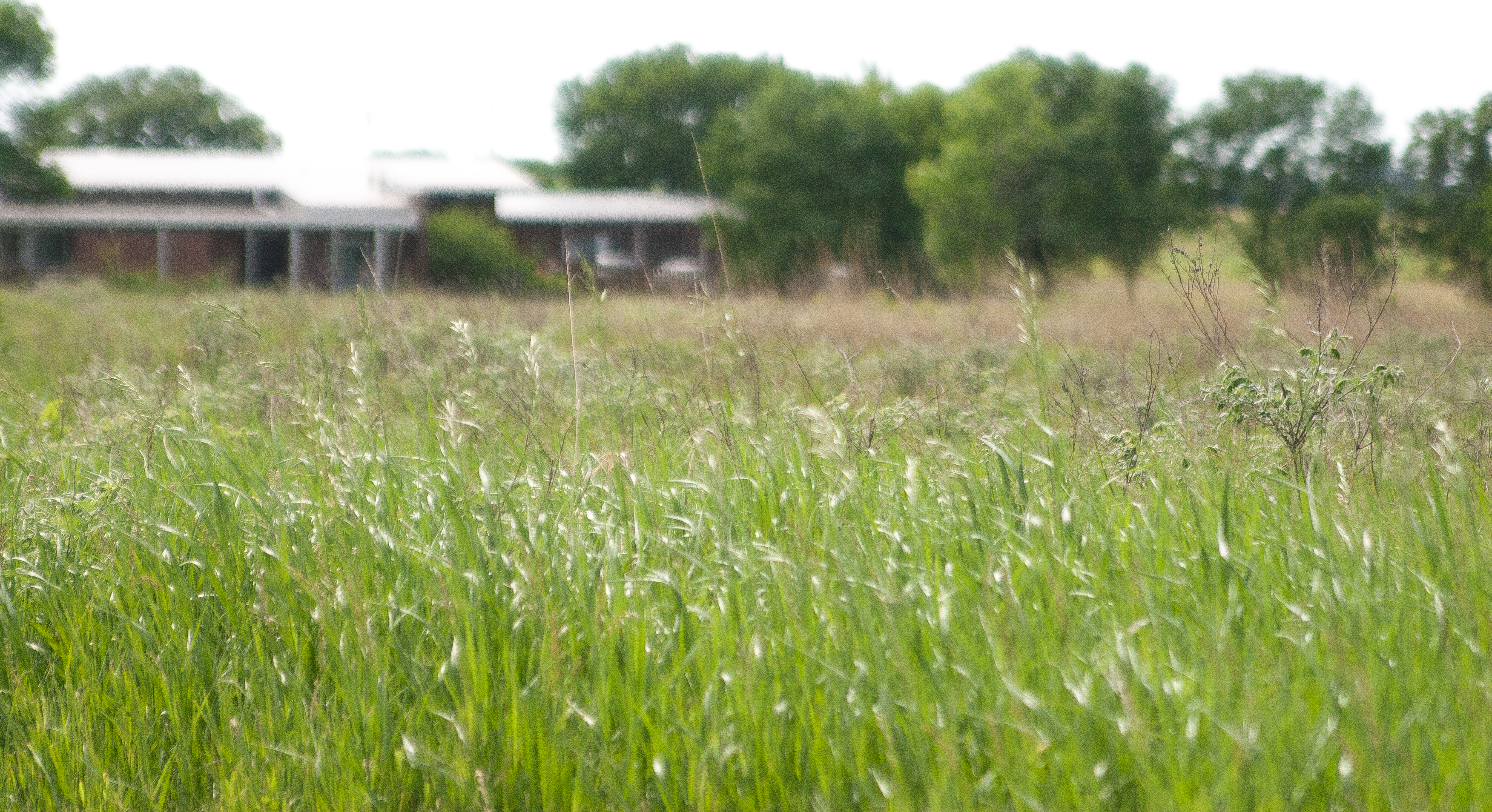
i felt like this was entering true prairie territory. i didn’t spend a lot of time here, just enough to do a short hike through the restored prairielands and to check out the red rocks.
at this point, the sun finally made an appearance and the rain stopped. it was humid and sticky, though not yet hot.
i was itching to get to my campsite.
*******
after checking out the local scene in jasper (not much), i headed to split rock creek state park, where i was camping for the night.
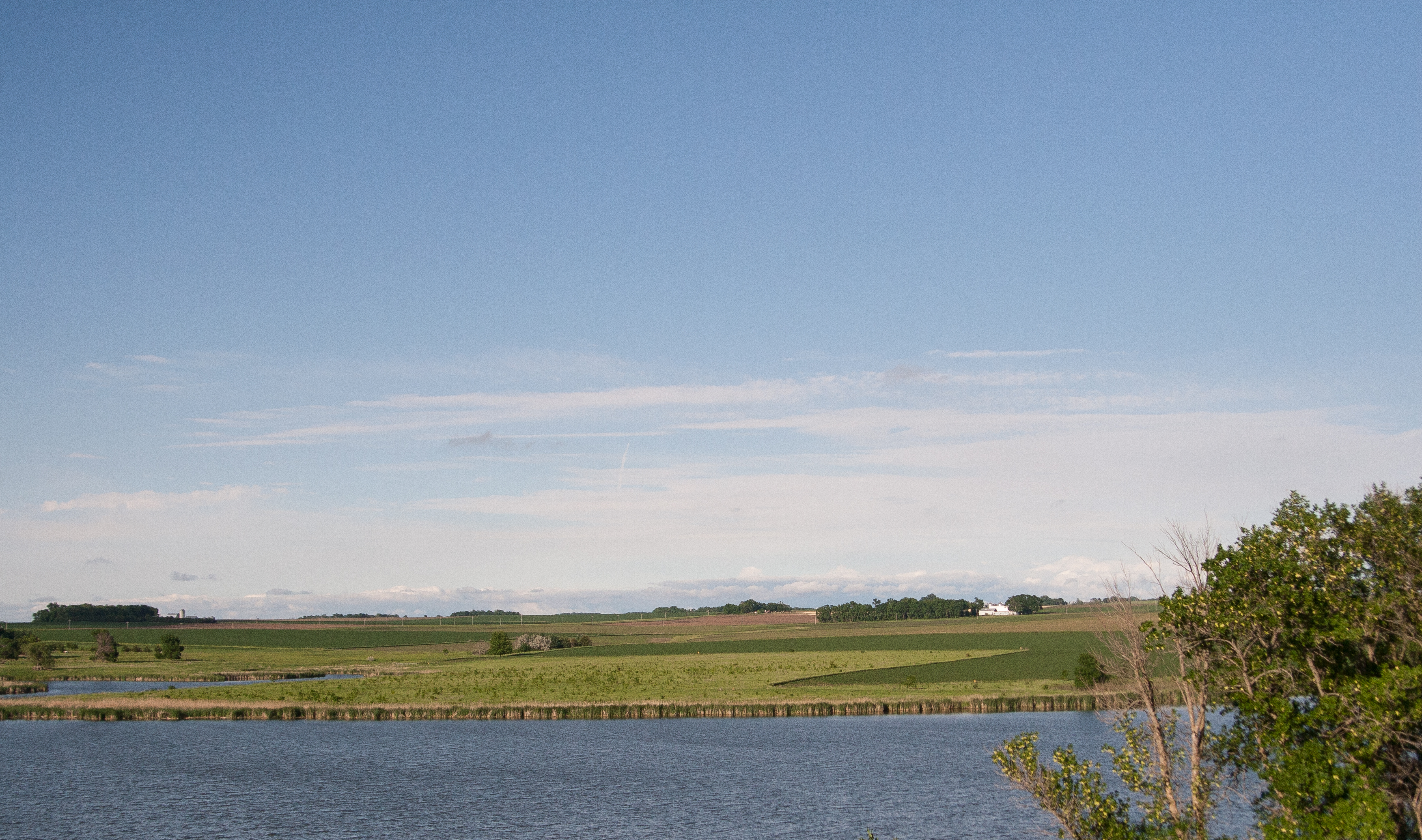
the “lake” was created after the WPA dammed up the river, making it the only lake in the county.
let’s talk about dams for a moment. i want to learn more. i like the idea of lakes created, but i also like the idea of letting nature take its course. i like the idea of hydro-electric, but i also like it when salmon can swim upstream. a book that’s been long on my to-read list is john mcphee’s “in control of nature” which delves a little more on the subject. one of the info-stops along the hike to the dam mentioned how flooding has damaged the dam more than once.
maybe it’s nature saying get a clue.
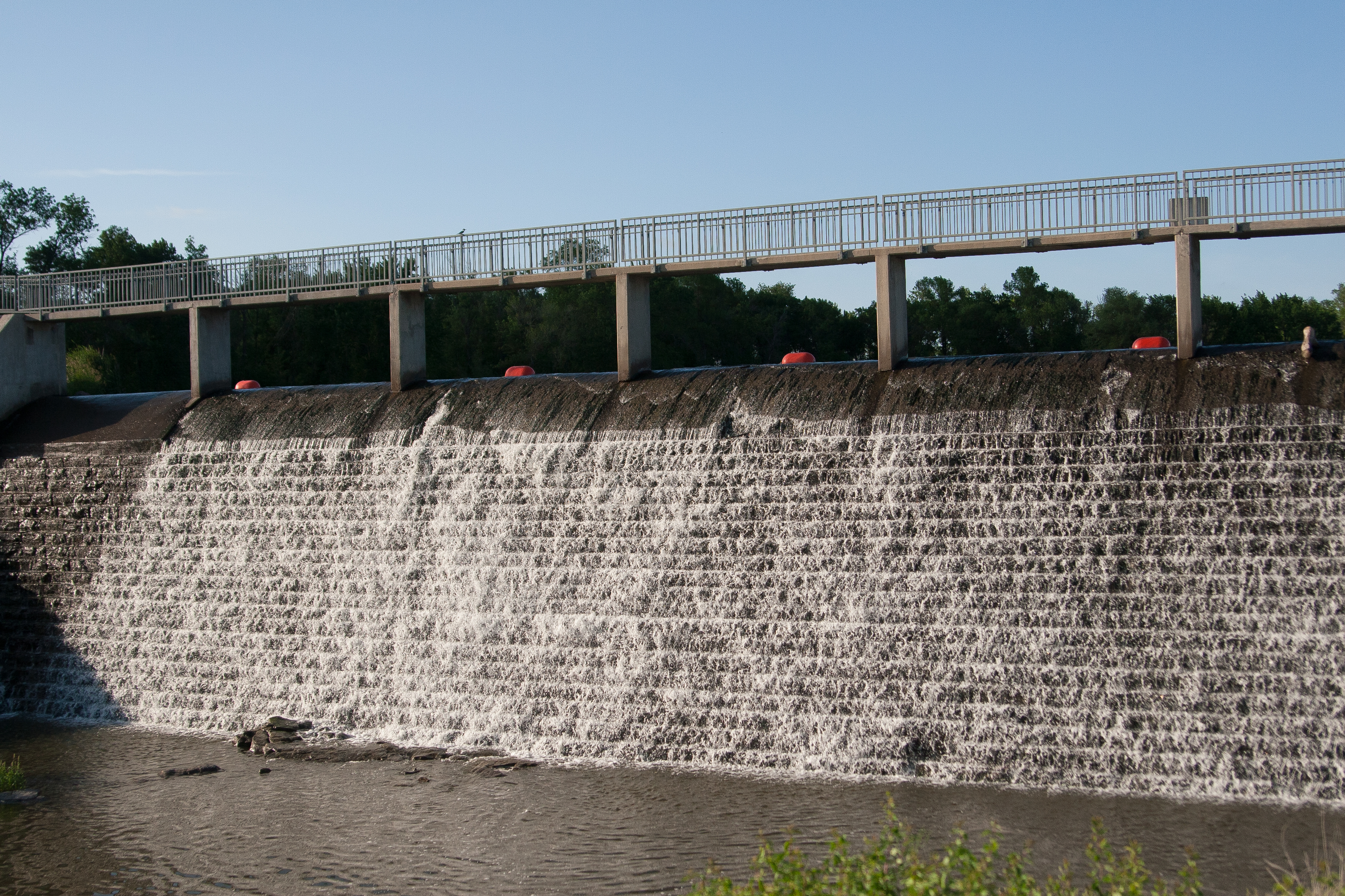
that aside, i checked in and drove to my campsite, which was a little small and made me happy i had only a 4-person tent. set everything up and ate supper before heading out on a hike along the lake and to the dam.
then i read a book in my hammock and felt generally weird about camping alone.
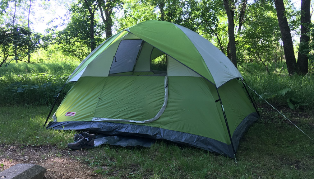
not gonna lie: it’s not about safety; it’s about company. i spend a lot of time alone in my life. nate works overnights, so i occupy myself a lot of the time. but short of a couple work-related things, i don’t travel alone much. or at all. i’m traveling with someone or to someone. and even though i’m a giant introvert and pretty quiet, having someone else with me at the campsite would’ve been nice.
but i survived.
once it got dark, i was going to try out some star photography. around 9:30, i saw the stars start to peek out, so i decided to wait until 10:30 or so. then it clouded over around 10. well that was the end of that.
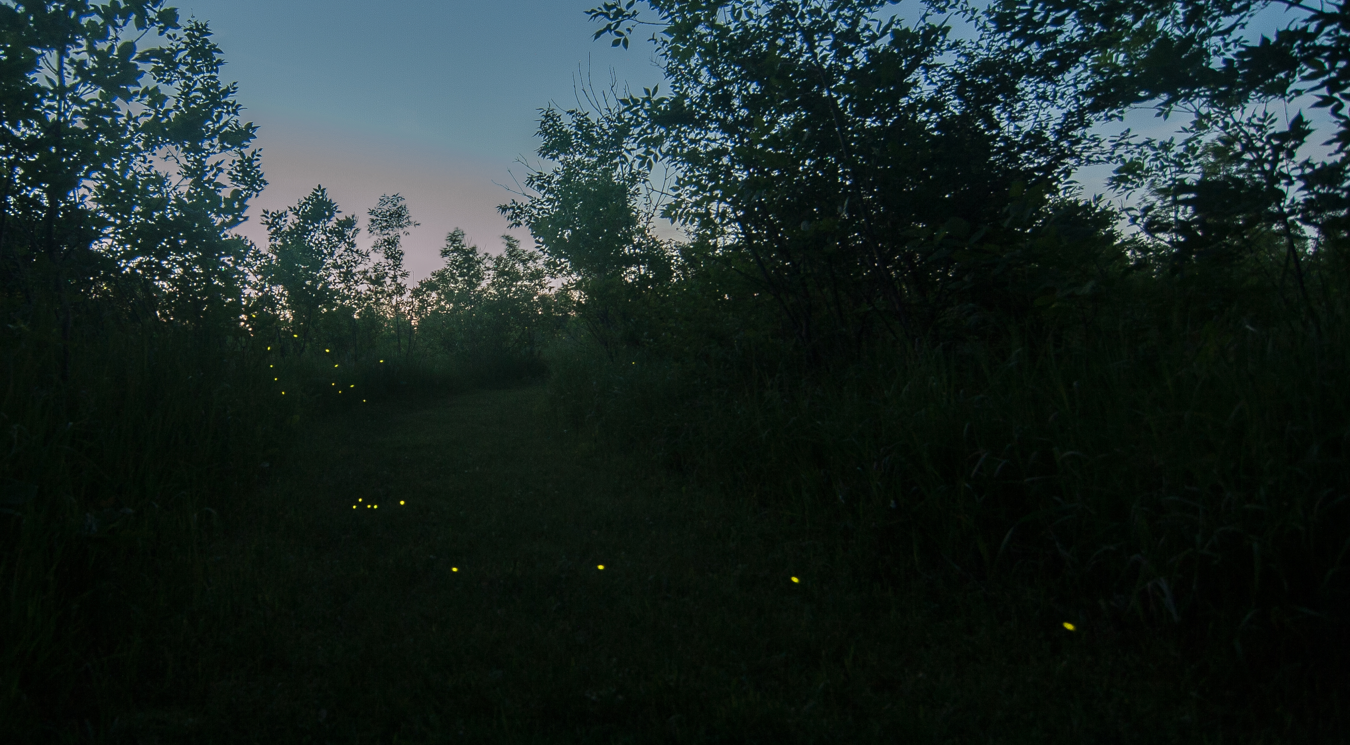
but i DID get some fireflies!
